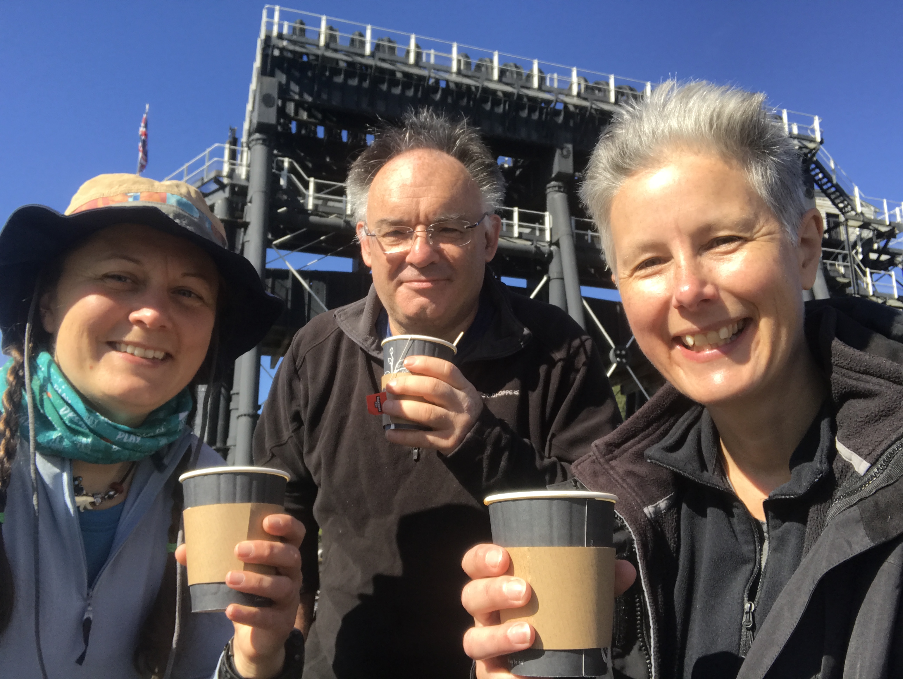
Three walks in one blog! Grab a cuppa, this is a longer read.
I walked the Delamere Loop from my house over three walks in January and February 2021. The third Covid lockdown meant I had to walk from my house, so to walk the 35km of the Delamere Loop I walked an extra 31km to meet the path further south.
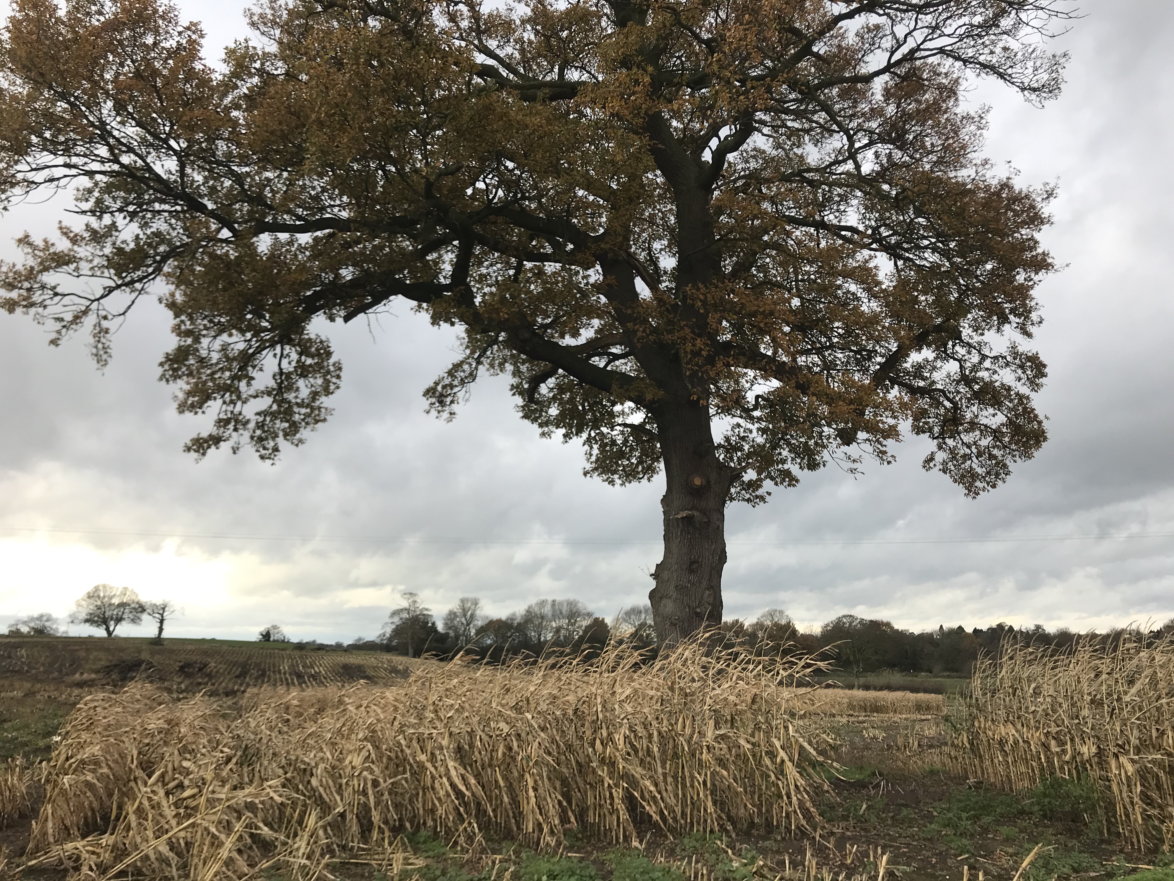
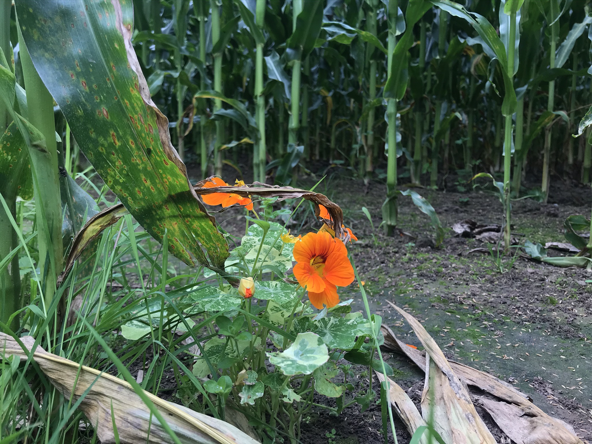
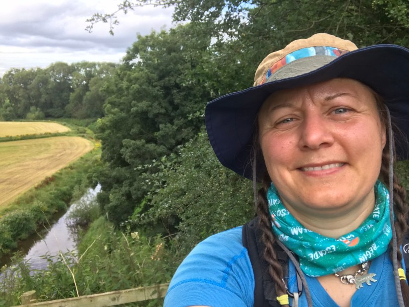
The first section started in Delamere Forest alongside Blakemere Moss. I’ve walked, run, roller skied and dragged my tyre around the mere many times and will walk it again as part of the Cheshire Challenge on the Delamere Way. The route heads out of the forset to a steep road called the Yeld, it’s a relentless slog of a walk and even more of a grind for those that cycle it. Around here there are small orchards and this one was full of Fieldfares gorging themselves on the fallen apples.
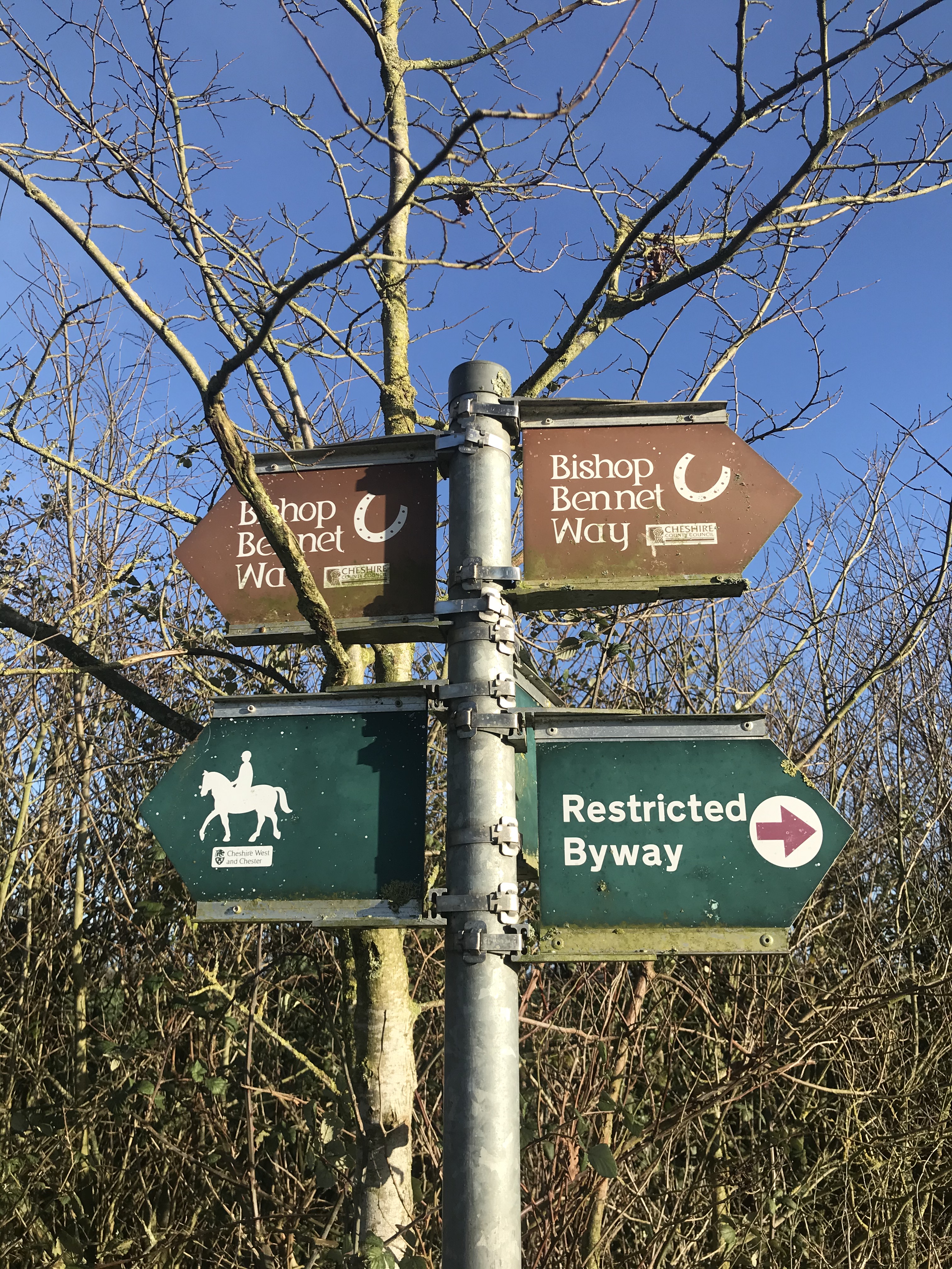
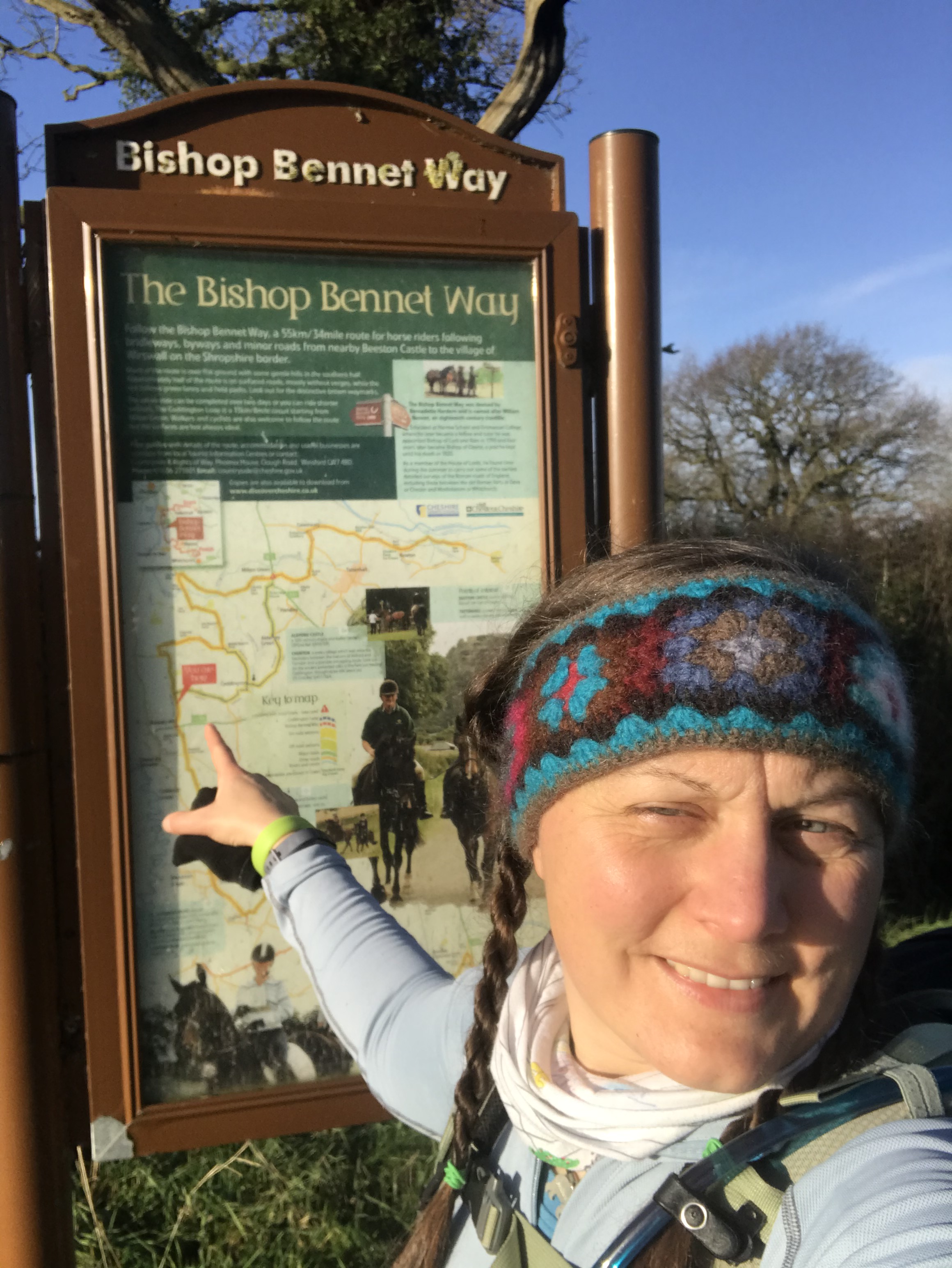
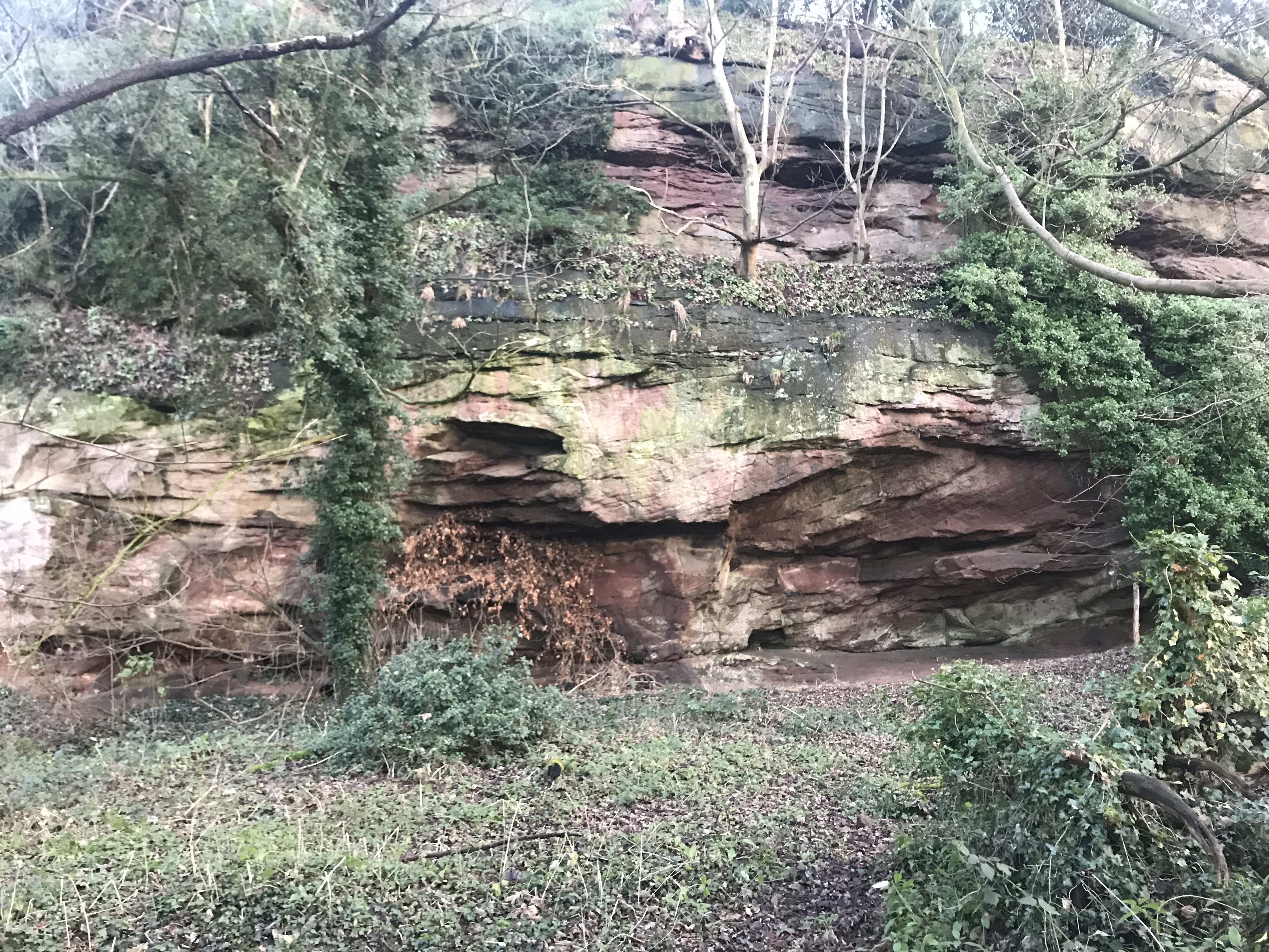
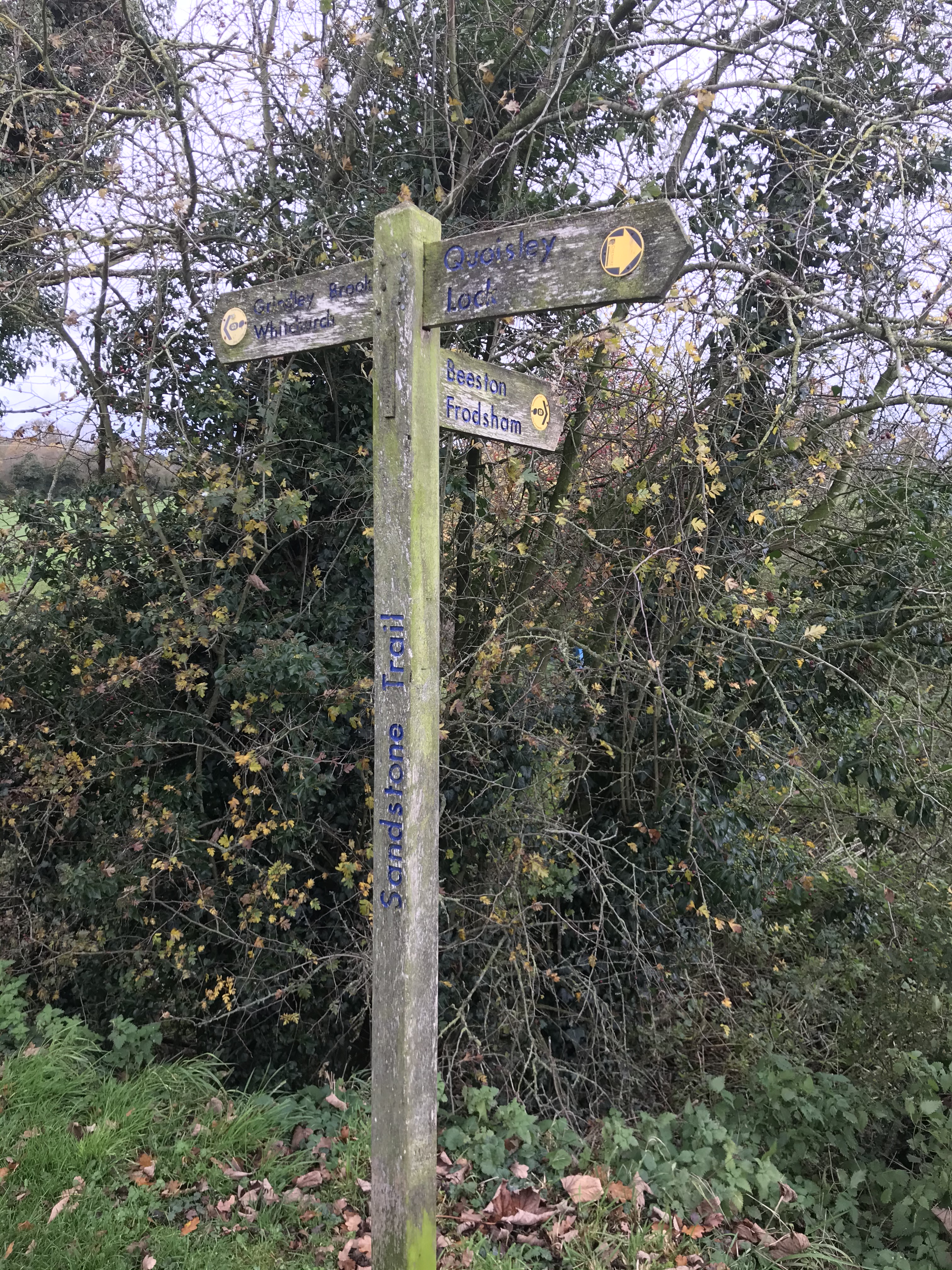
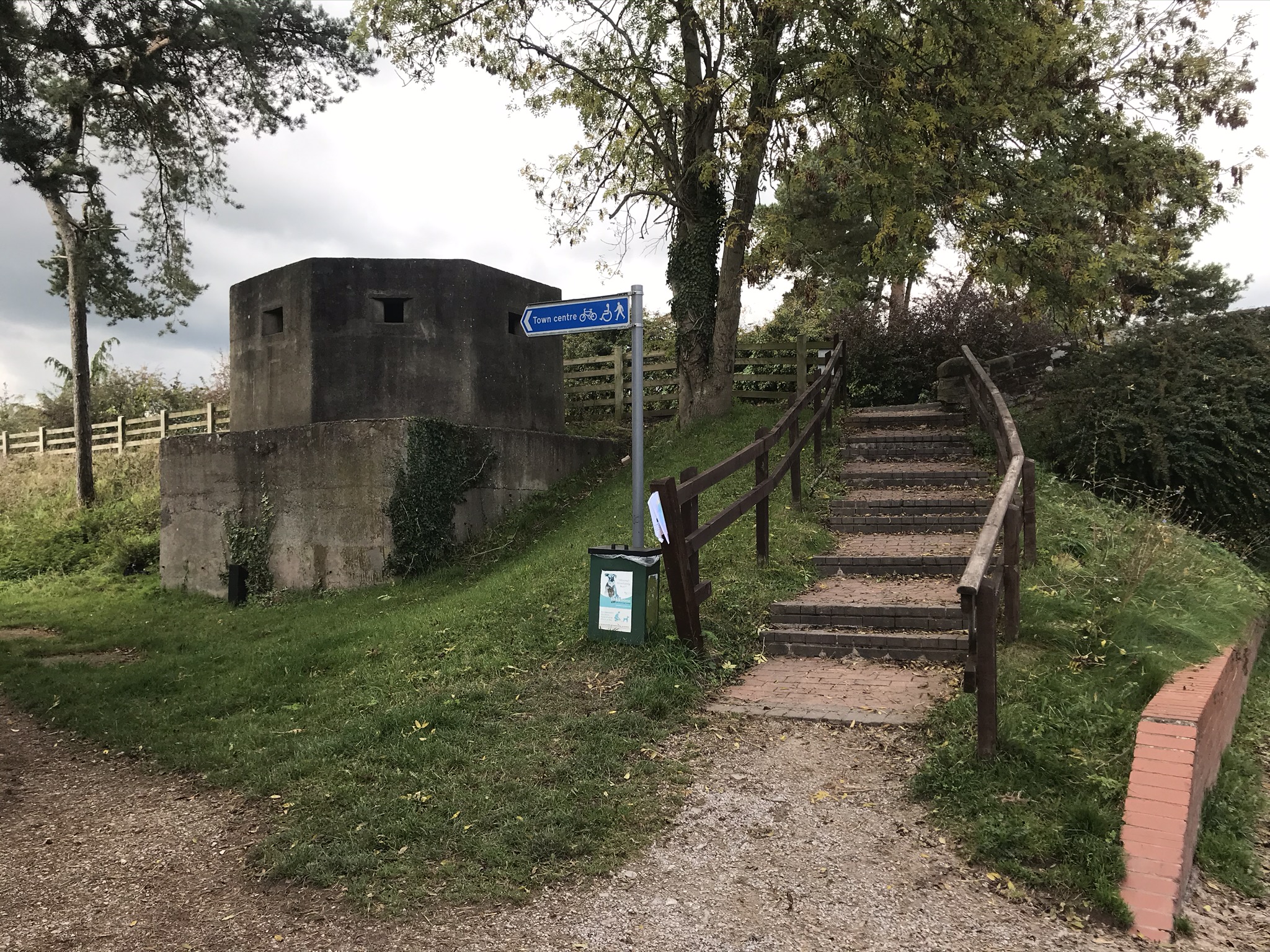
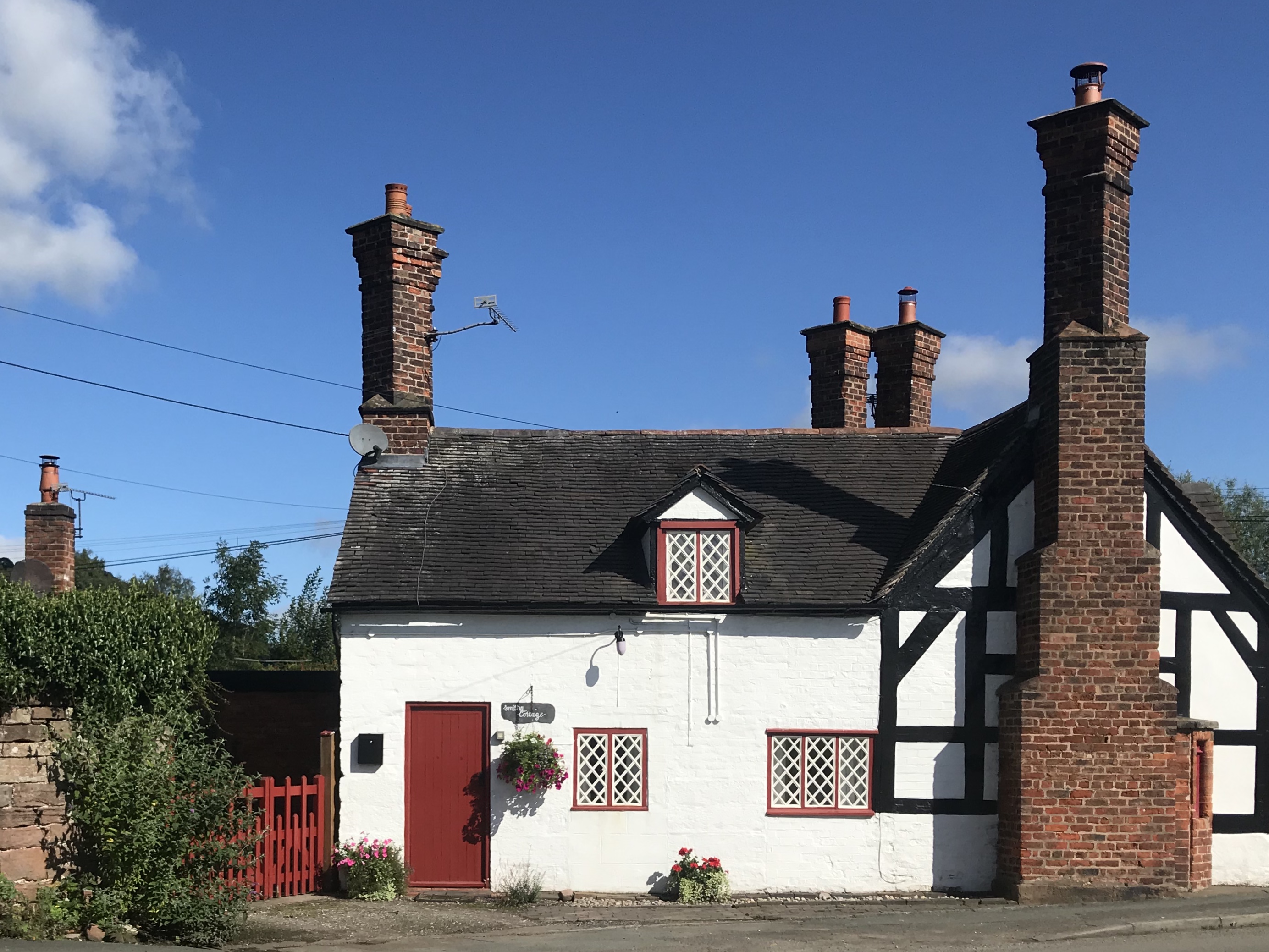
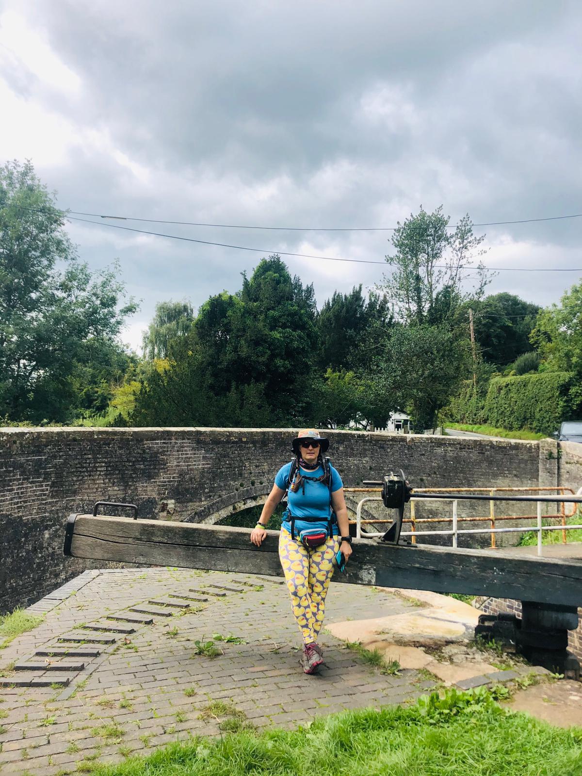
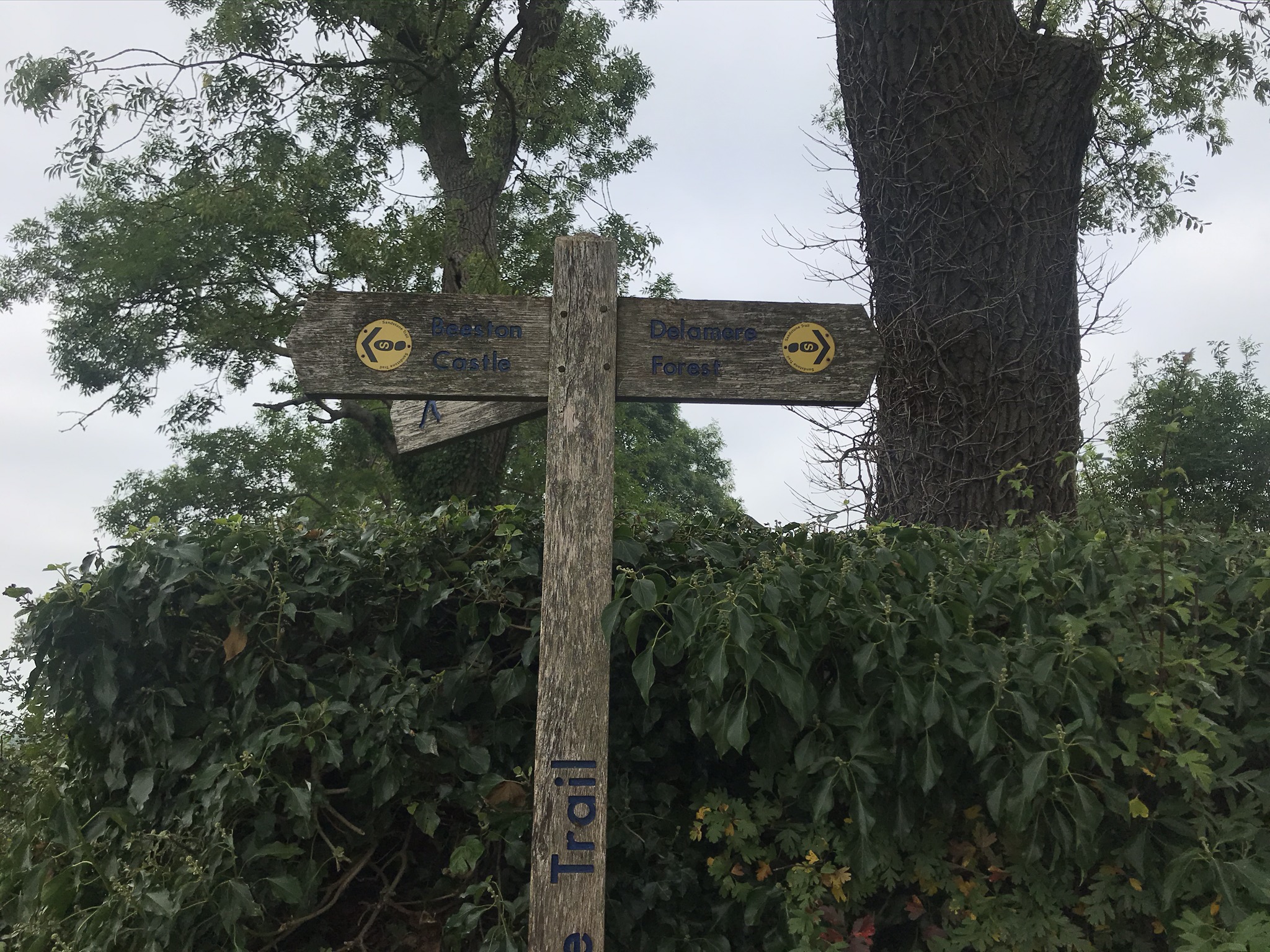
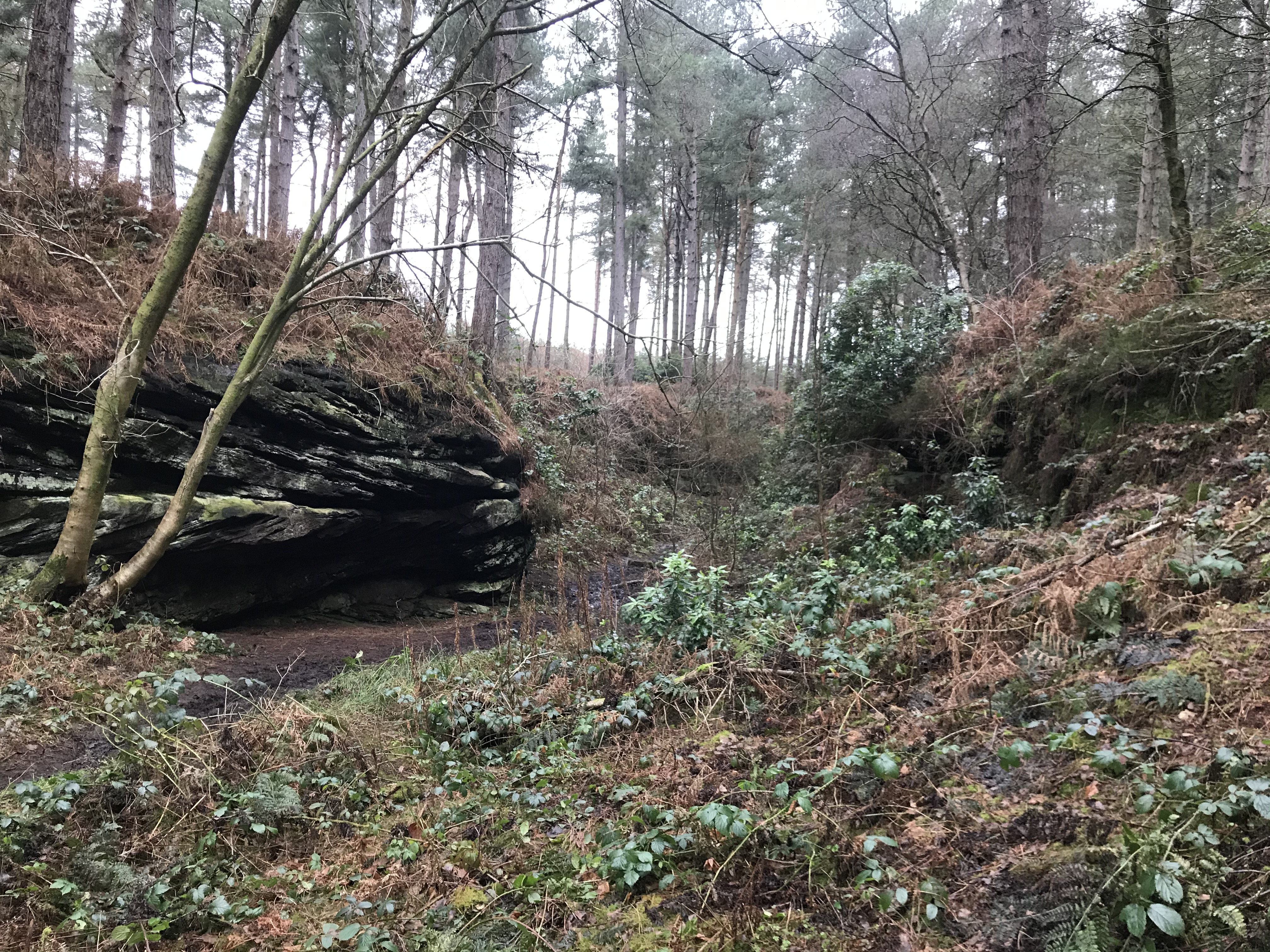
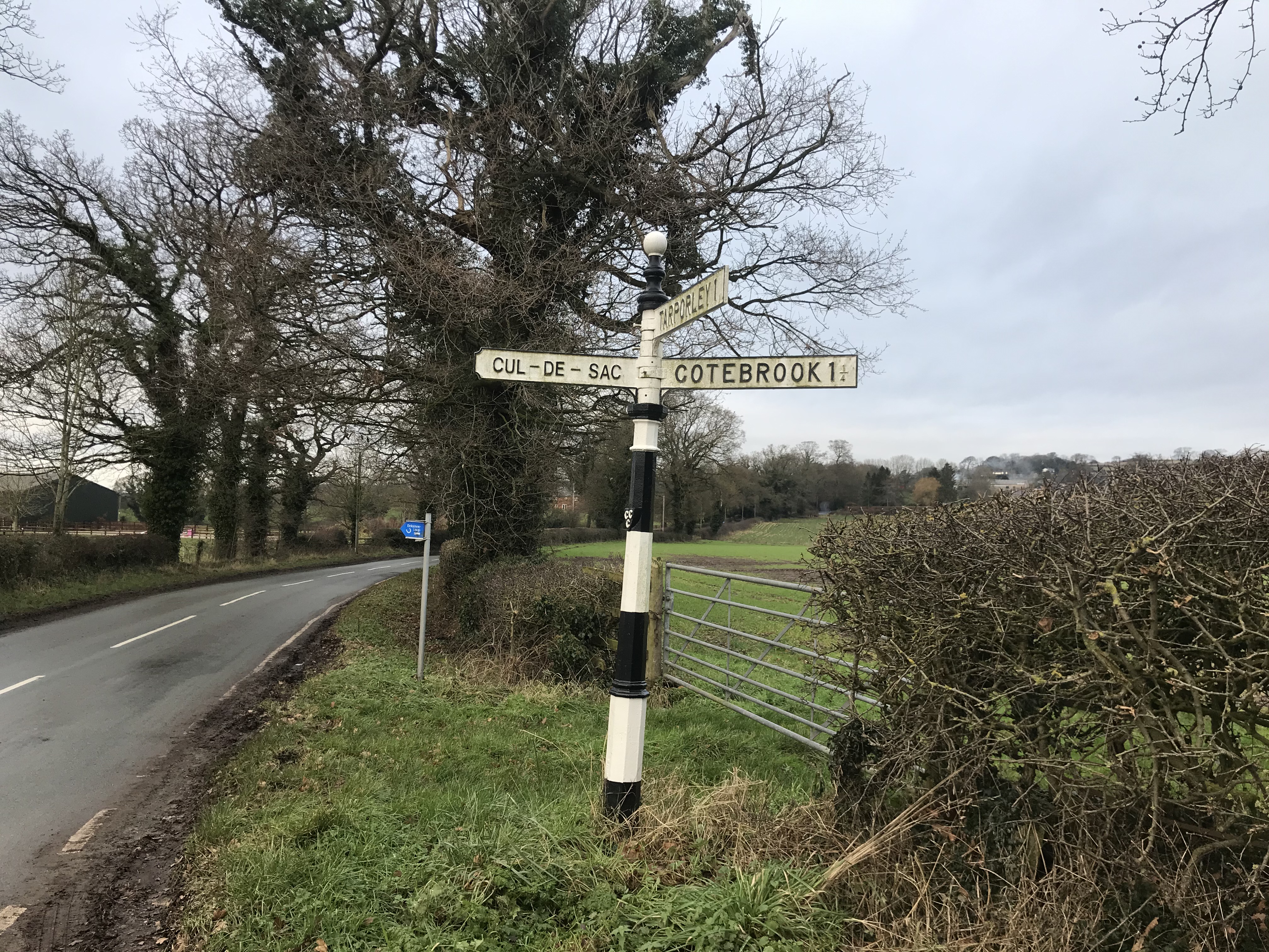
After passing the outskirts of the village of Kelsall, the walk heads back into the trees, this time in Primrose Wood. Its here that a remnant of the ice age can be found, with a minor detour. Now called Urchin’s Kitchen, the narrow sandstone gorge was a formed by melt water under the vast ice sheet that once covered here. Cool huh? The Delamere Loop continues to wind through the woods climbing up hill to pop out onto a quiet road, then back onto a narrow bridleway and then out on to the road that leads in to Utkinton. After Utkinton, a less lovely stomp along a road for a few hundred meters brought the turning point, a large black and white fingerpost came into view. Time to head for home.

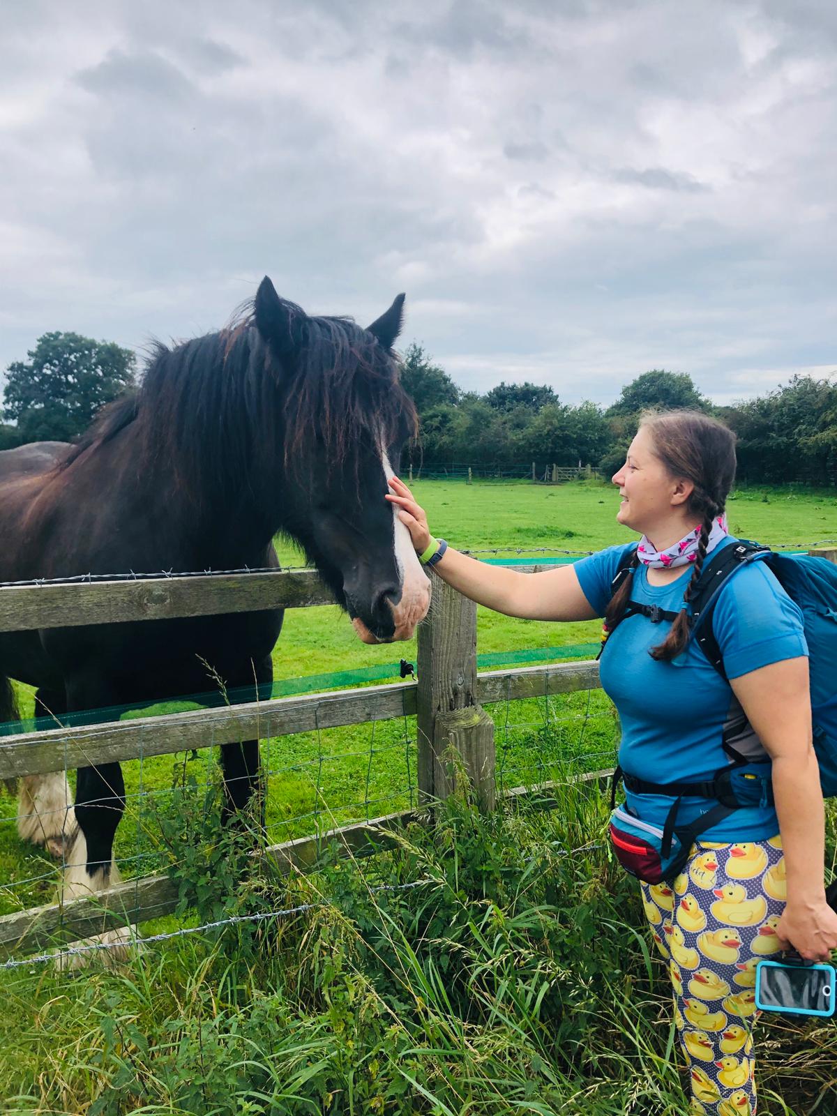
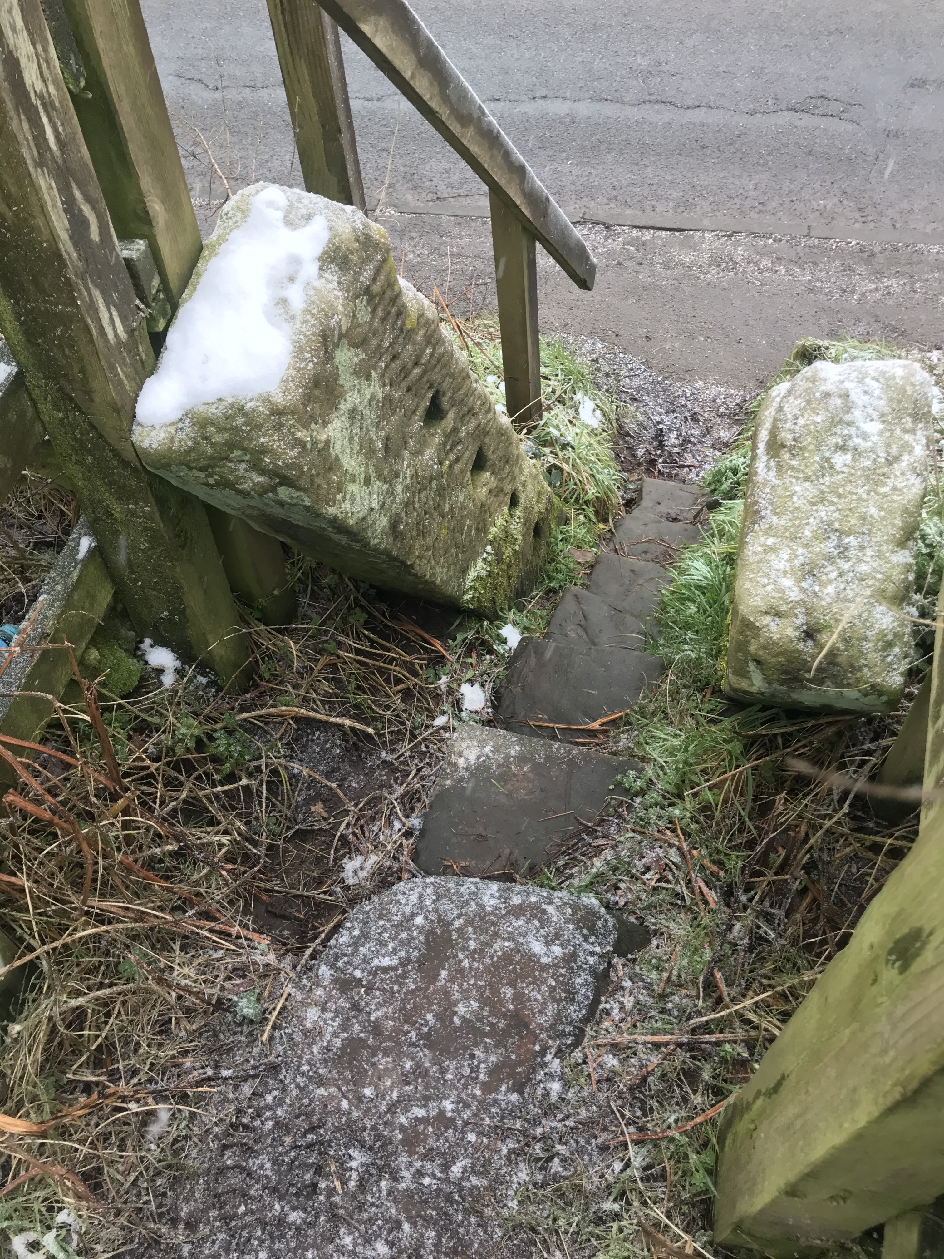
I’m not normally worried by cows. I’ve found that if I just walk slowly, quietly telling them I am the most boring thing they will see all day and that I am really not worth the effort to investigate then they generally ignore me. Its rare I get a strong feeling that something is not right, maybe its a primordial instinct, a sixth sense that tells you things are not all hunky dory and even without looking danger in the face, you know it is there. And this was one of those occasions. As I entered the field it was at least knee deep in sloppy mud in places and I had to pick my way, hopscotch style, across what was theoretically a path: no one would keep cows on this I thought, they must have been moved. I was wrong. As I started to reach slightly firmer ground, I saw the cows and they were definitely interested in me. Decision time. Turning back put them behind me where I couldn’t see what they were doing: if I fell in the mud I could be in serious trouble. I decided to continue, checking exactly where the exit from the field was on the OS app, phone in hand, slowing to a snail’s pace and with my walking poles to make sure I didn’t slip I walked directly towards the stile out of the field. I was fine, they were uncomfortably observant and skittish but moved away as I approached and I made it to the stile without incident. But it wasn’t a pleasant experience: I have only once before felt this wary of livestock and my heart was thumping as I swiftly climbed the stile.

And so back to the outskirts of Primrose Woods, down to the equestrian centre and then up the lane to Eddisbury Hill.
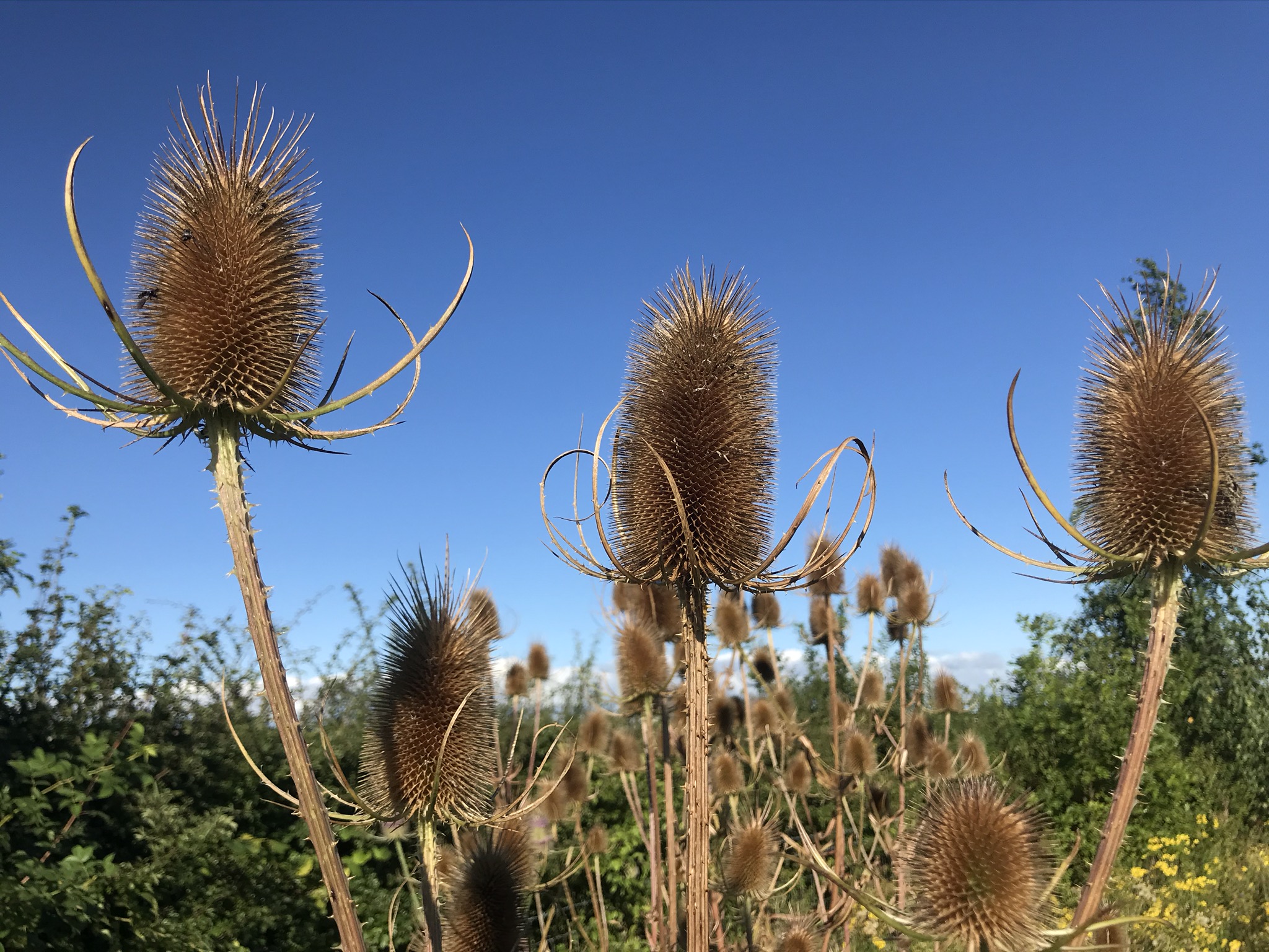
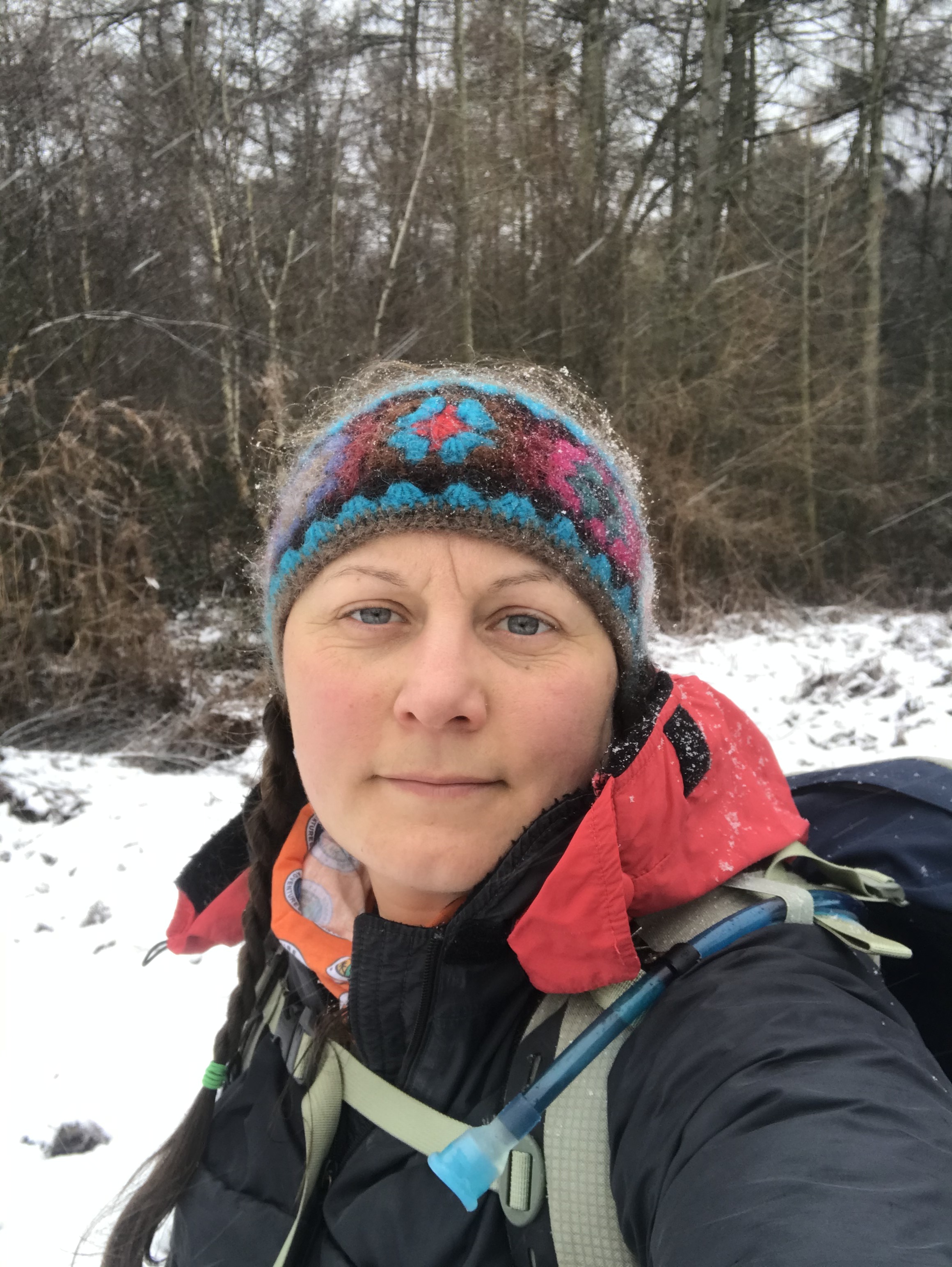
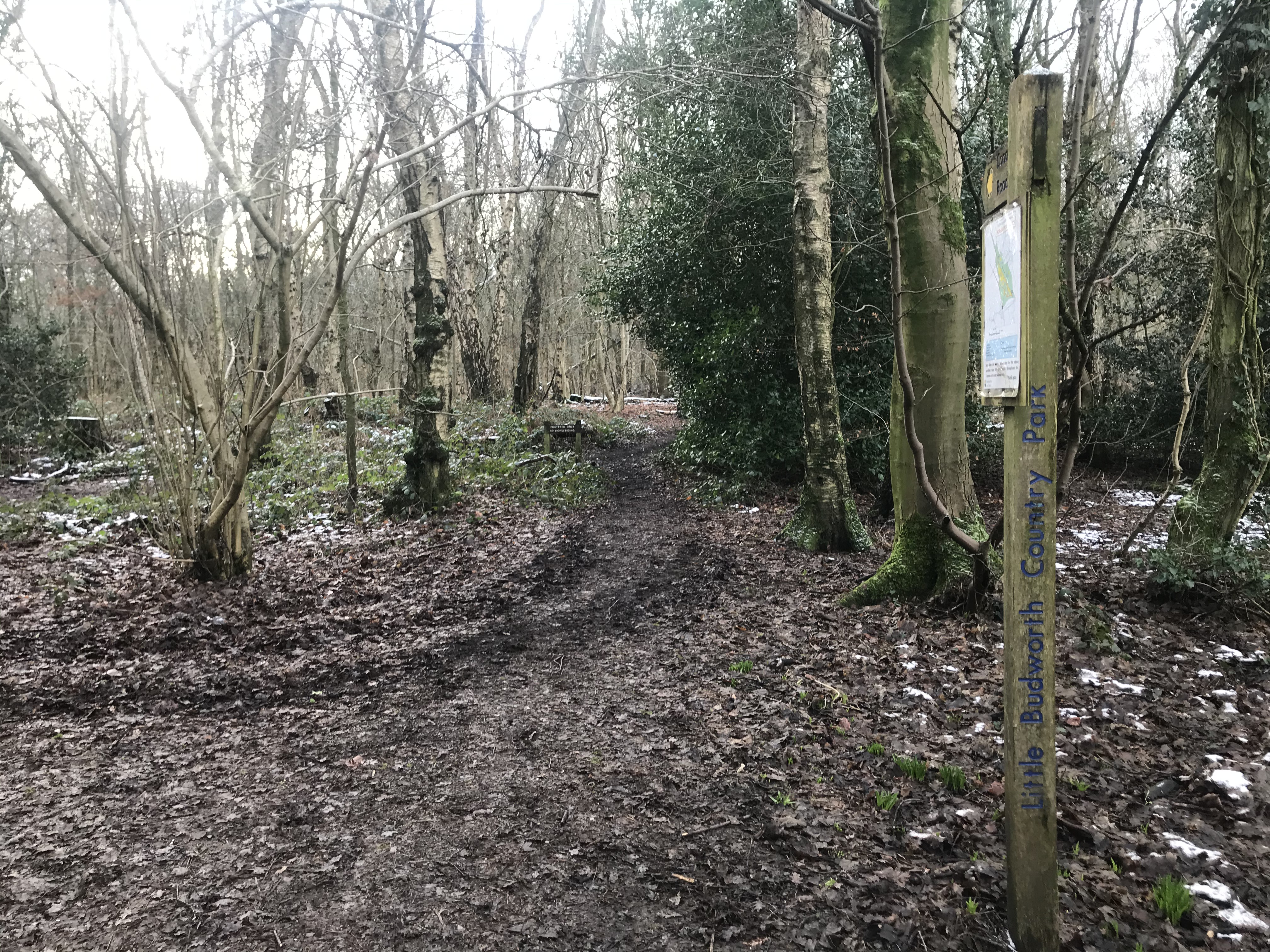
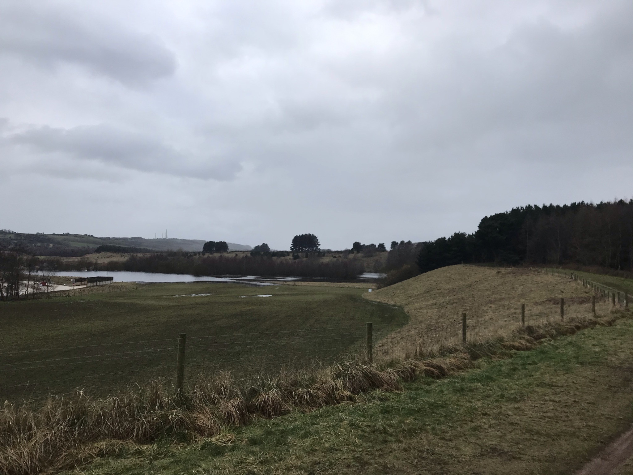
Two weeks later, I retraced my steps to Utkinton this time in snow as I dropped down from Delamere to Primrose Woods. Deciding I didn’t fancy my chances with the cows again, I headed to Utkinton and repeated a small section of the Delamere Loop I had already walked. At the black and white fingerpost I turned right instead of left and continued along the Delamere Loop. This route was a lot of road walking. The trouble with walks in winter that are road and paths is selecting footwear. Snow and mud calls for walking boots, but miles on tarmac is unforgiving on the feet and joints. Through Eaton and onward to the ghostly quiet Oulton Park race circuit, I finally left the tarmac to the refreshingly squidgy paths of Little Budworth Common. Here the first tiny early signs of the incoming spring were appearing in the woods: the brilliant green shoots of the bluebells peeking through the leafmould.
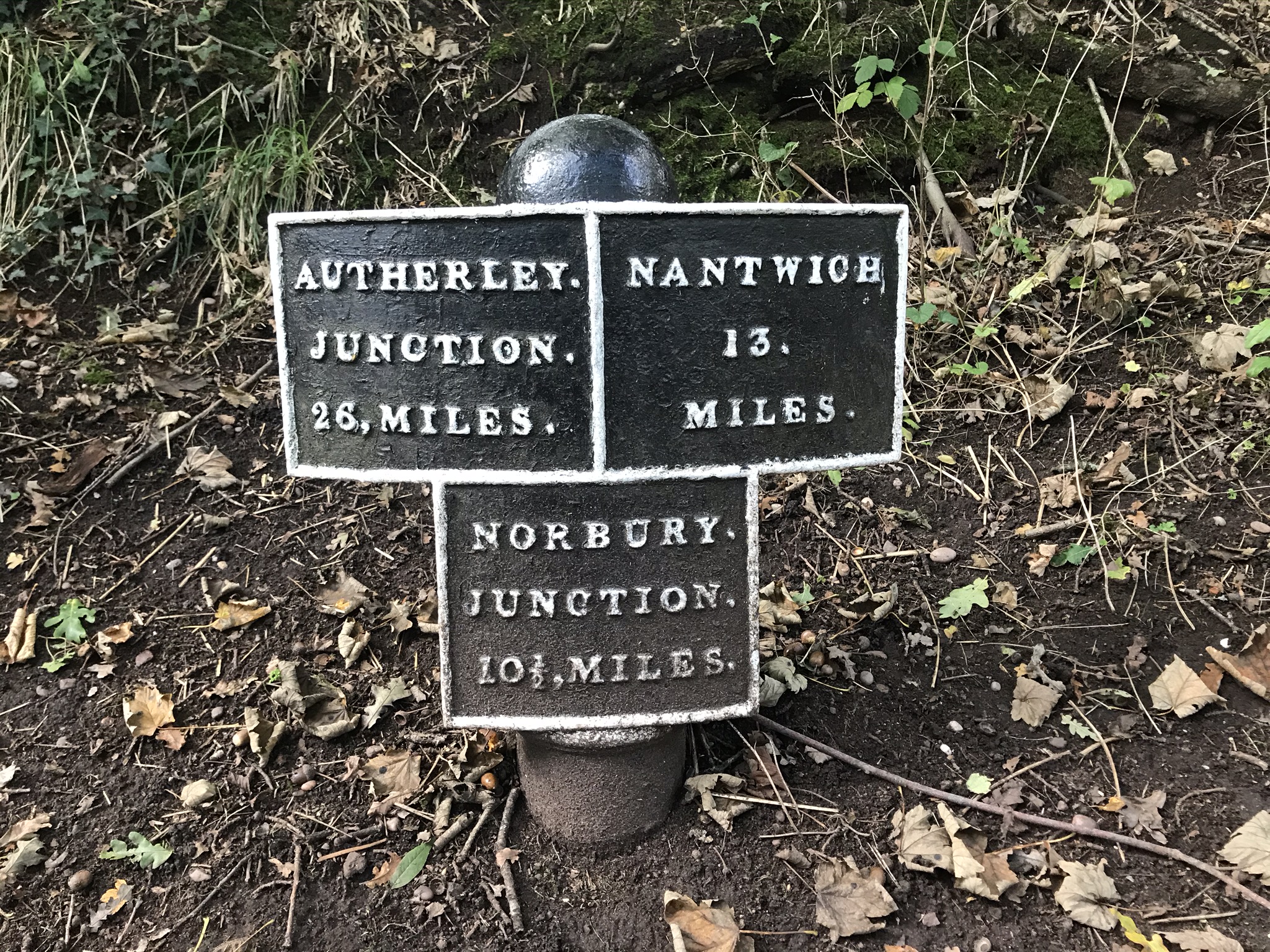
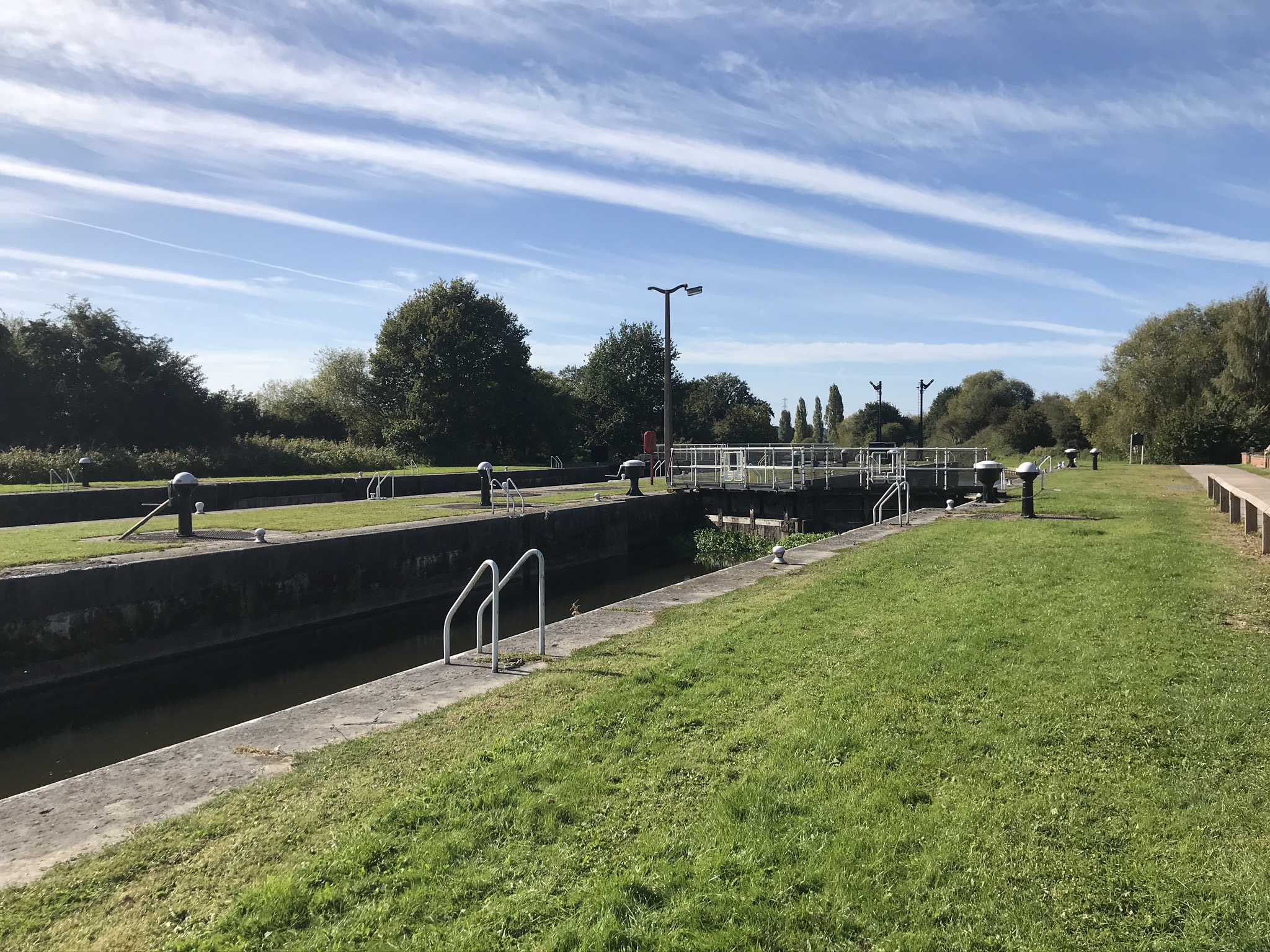
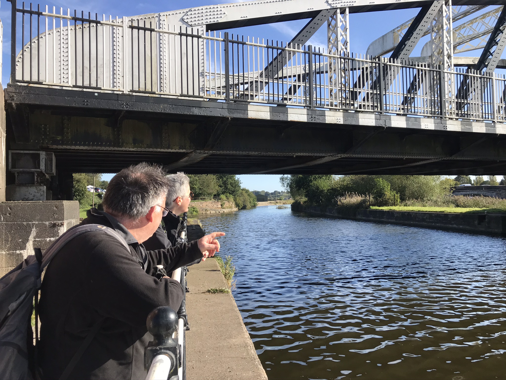
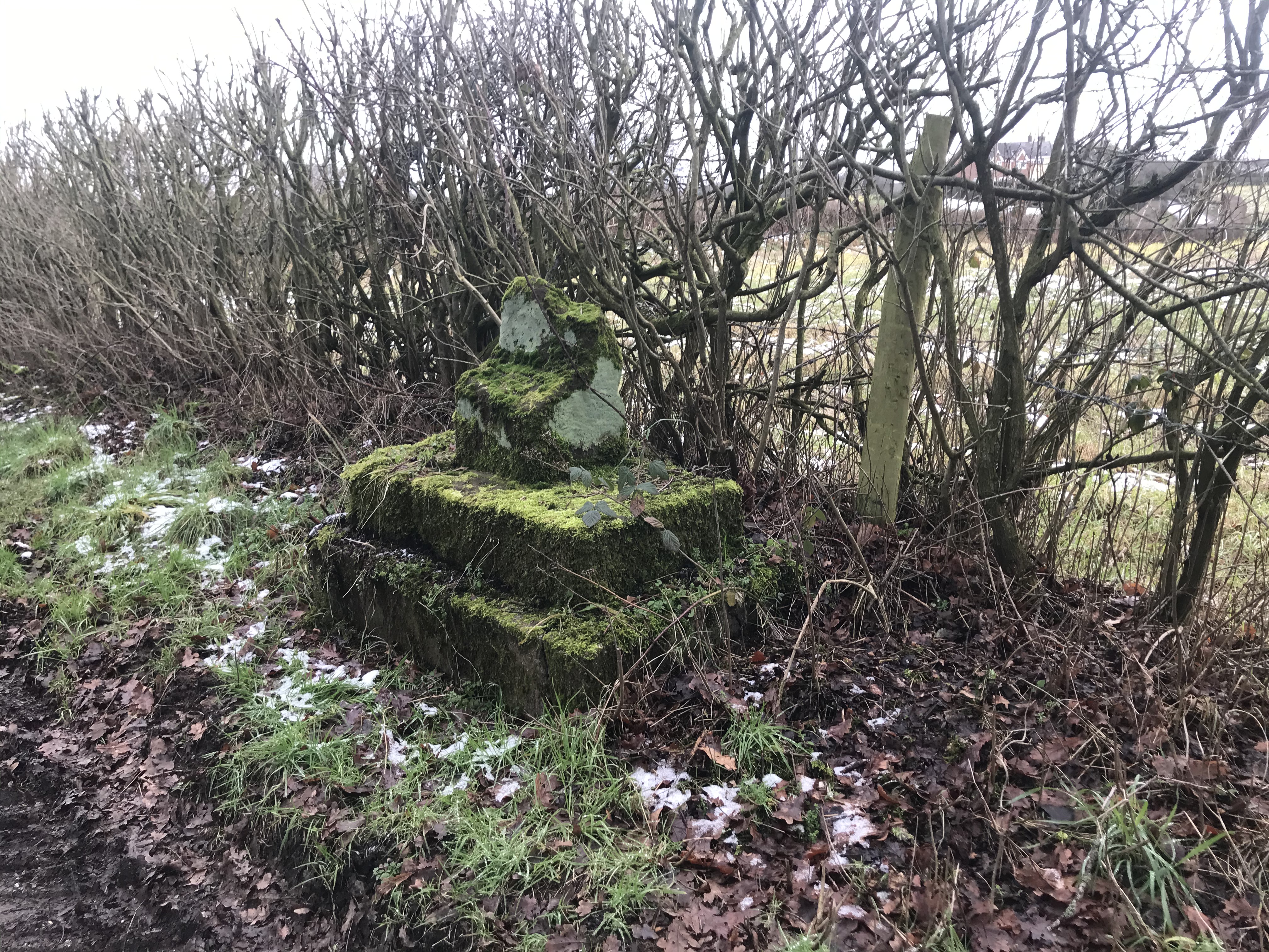
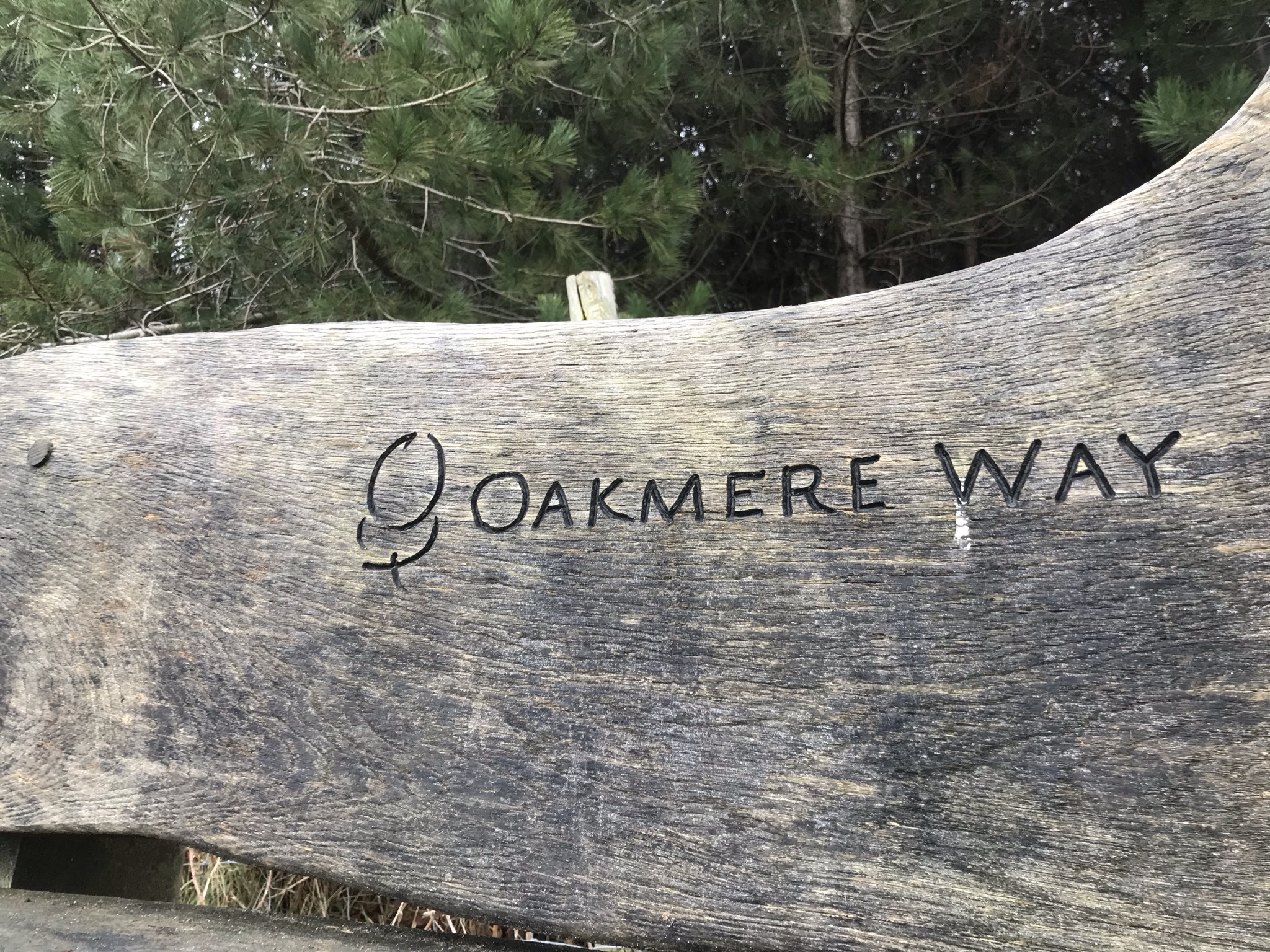
This walk was the longest of the Delamere Loop walks at 25km but the least efficient of the Cheshire Challenge so far, with more distance covered on the unnamed paths than on the named ones. At the Longstone, I left the Delamere Loop and turned back to home. The Longstone is a medieval waymarker it would have been in the form of a cross but all that remains now is a solid chunk of the base. Rare in this part of the country, the unassuming stone is grade II listed. More road walking followed. A pavement along the busy A49 was welcome and then the quiet, dead straight road along a wood know as Hogshead Lane. A short way along a verge and I gratefully headed back on to paths, this time the Oakmere Way. This is a permitted path alongside the sand quarry and leads all the way back to Delamere Forest.
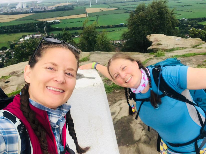
Another two weeks later and I was walking back along the Oakmere Way, down Hogshead Lane and back to the Longstone. This was a shorter walk of 20km, and after a few kilometres walking along quiet tarmac lanes, I came to the Whitegate Way. Once a railway this is now a permitted path for cyclists and walkers, at 11km it’s the shortest long-distance path of the Cheshire Challenge but today I was only walking a section that doubles up as the Delamere Loop. I both like and dislike paths such as this. It’s a little too polished for my taste but its great for thinking time as no effort is needed to navigate and I don’t need to pay too much attention where I am putting my feet. As I reached the end of the Whitegate Way I started that polite game of leap-frog gate holding for two teenage girls on mountain bikes: I walked past them, they then rode past me. They asked me where the Whitegate Way ended and we started chatting about local routes to explore. I’d like to think I planted the seed of an adventure for them.
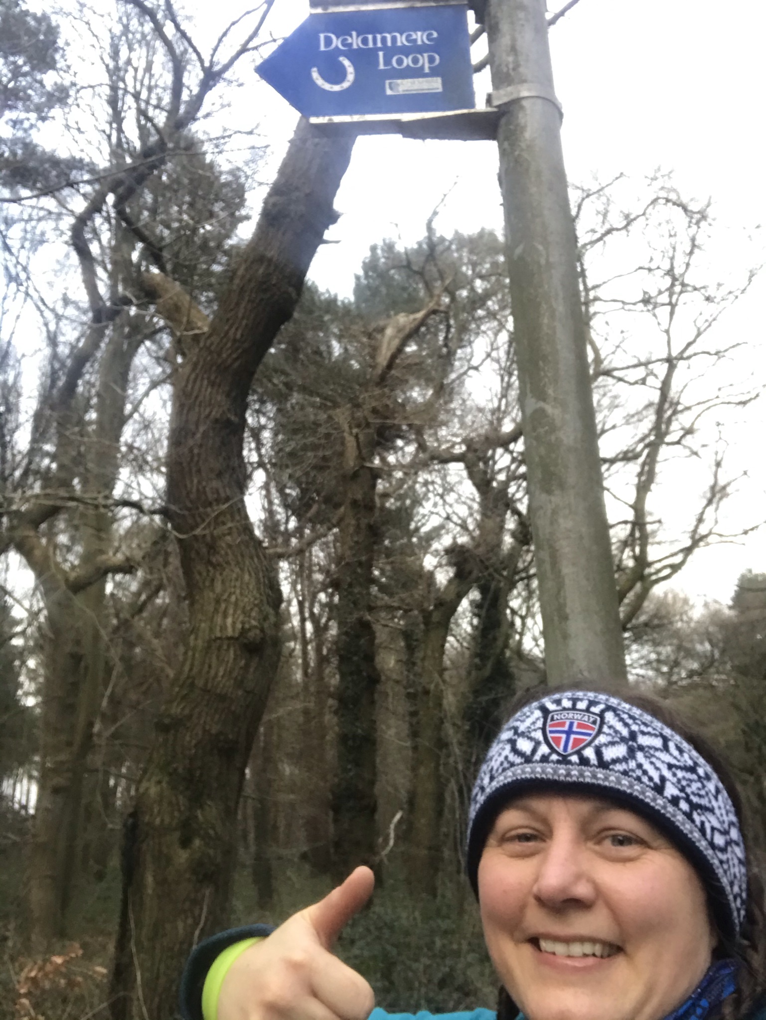
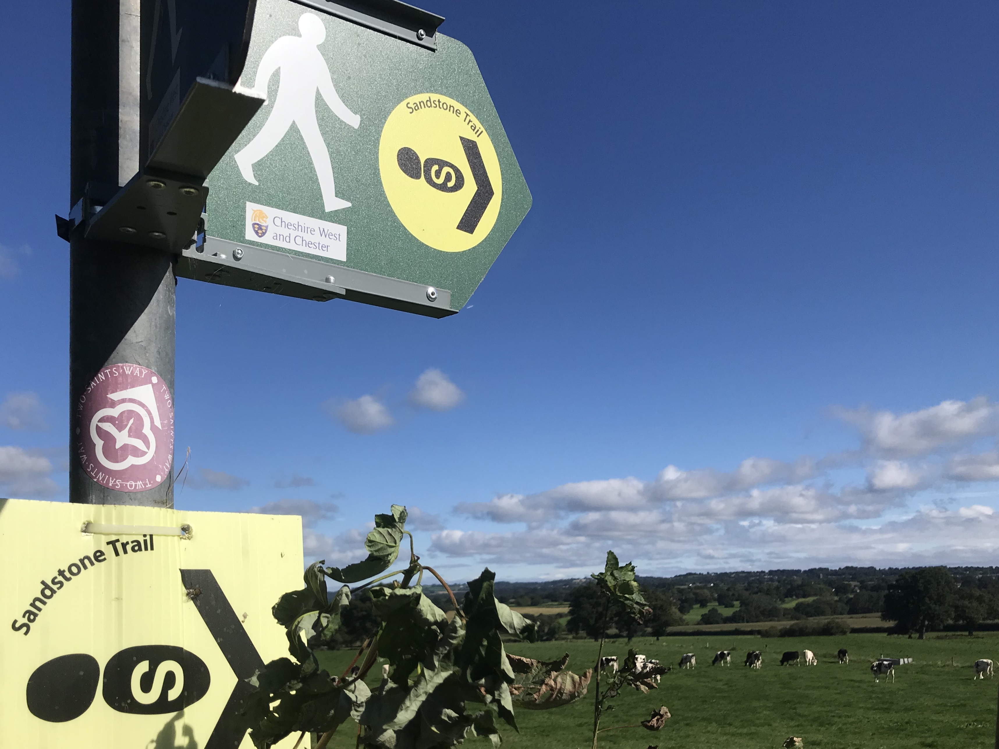
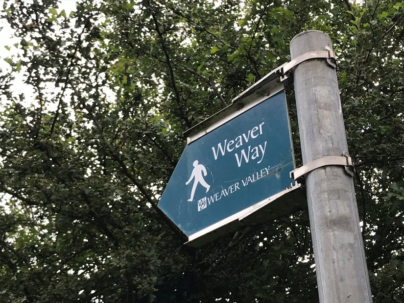
Another short stretch of road and I was back in Delamere Forest and soon standing by the Delamere Loop sign pointing towards Blakemere Moss. The Delamere Loop is the second of the Cheshire Challenge paths I have finished, the first being the Baker Way that I walked way back in the summer.
Or so I thought. Some weeks later, on an evening stroll up the hill behind my house after work, I found a Delamere Loop sign. At the top of a hill I definitely didn’t walk up. My inner list-ticking self feels the need to investigate this further…
Videos of the walks are here: walk 13, walk 14 and walk 15
The routes are available on the Ordnance Survey website: walk 13, walk 14 and walk 15
| Cheshire Challenge distance | 35km |
| Paths walked | Delamere Loop |
| Total distance | 67km |
| Total ascent | 978m |
| OS map | OS Explorer 267 |
| Date walked | January & February 2021 |
| Time taken | 18.5 hours |
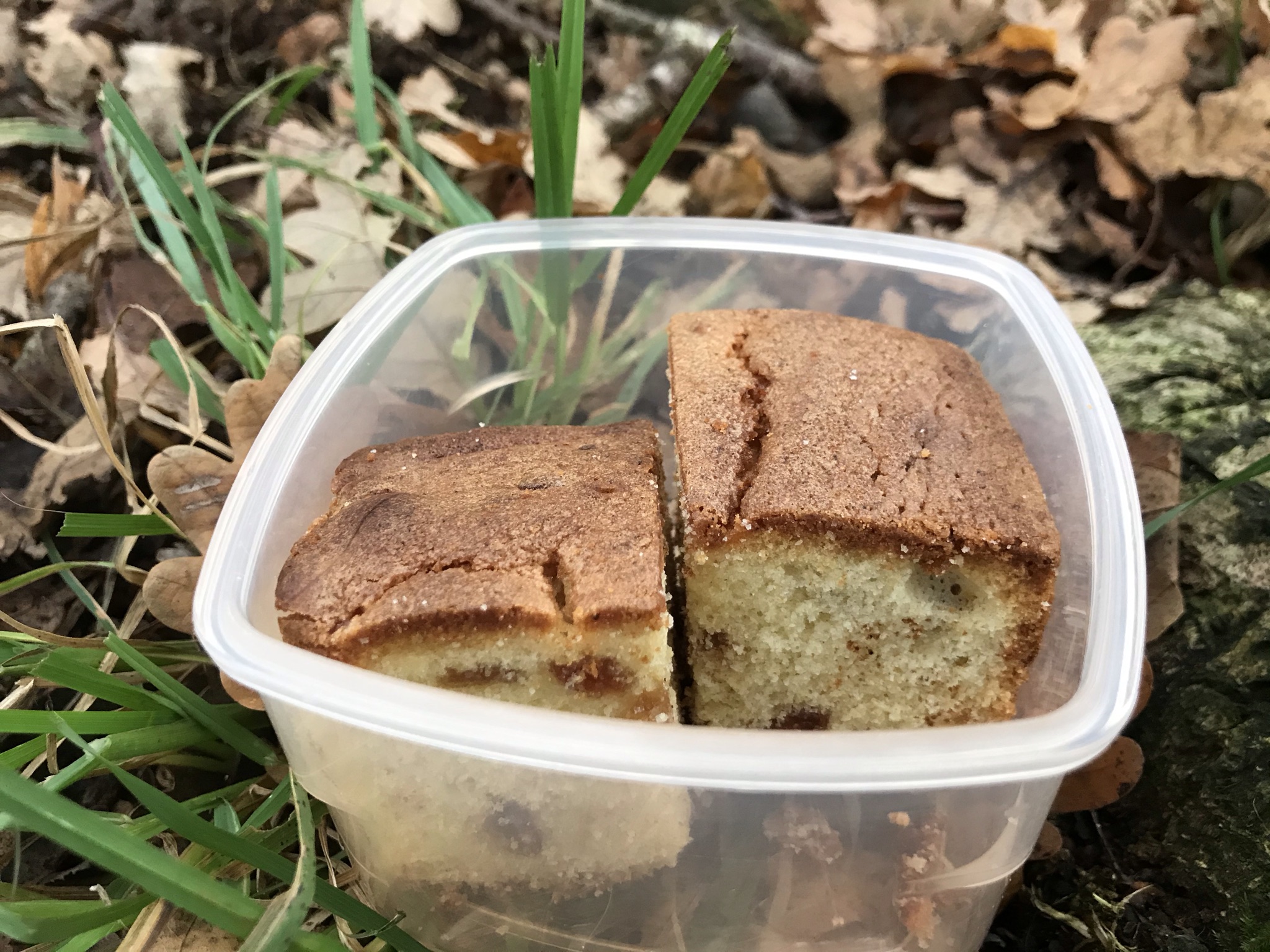
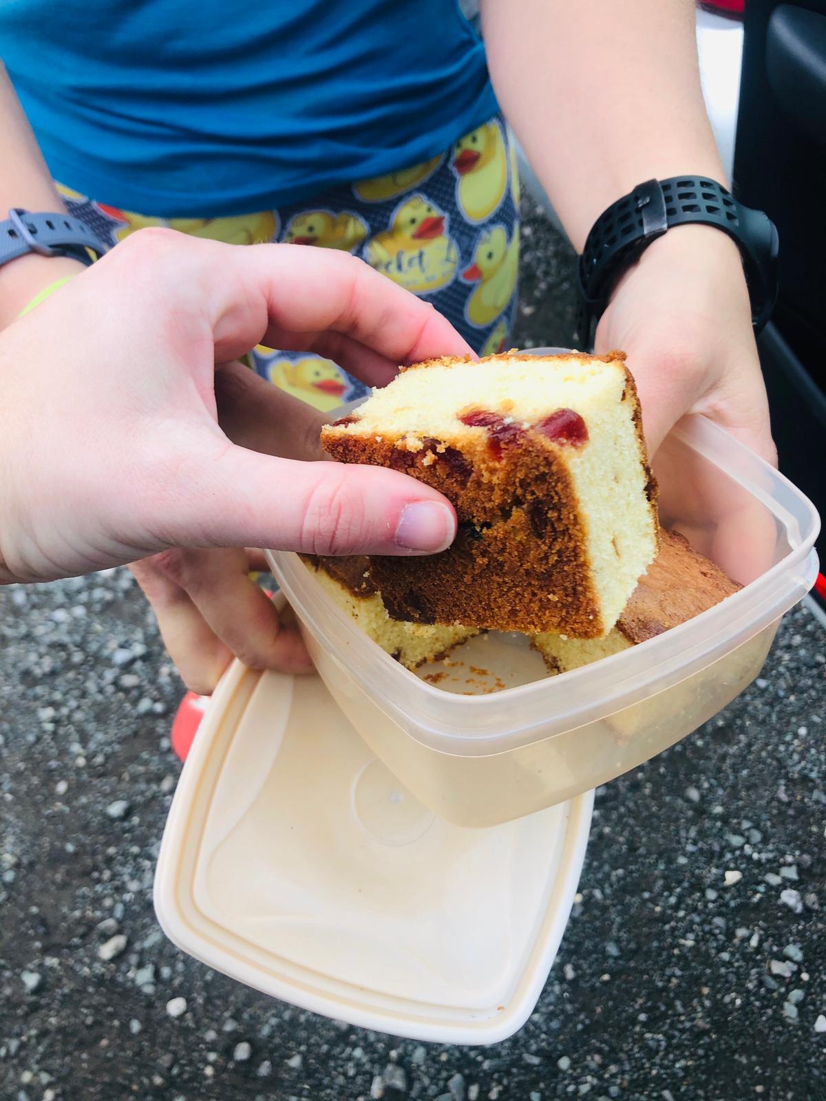
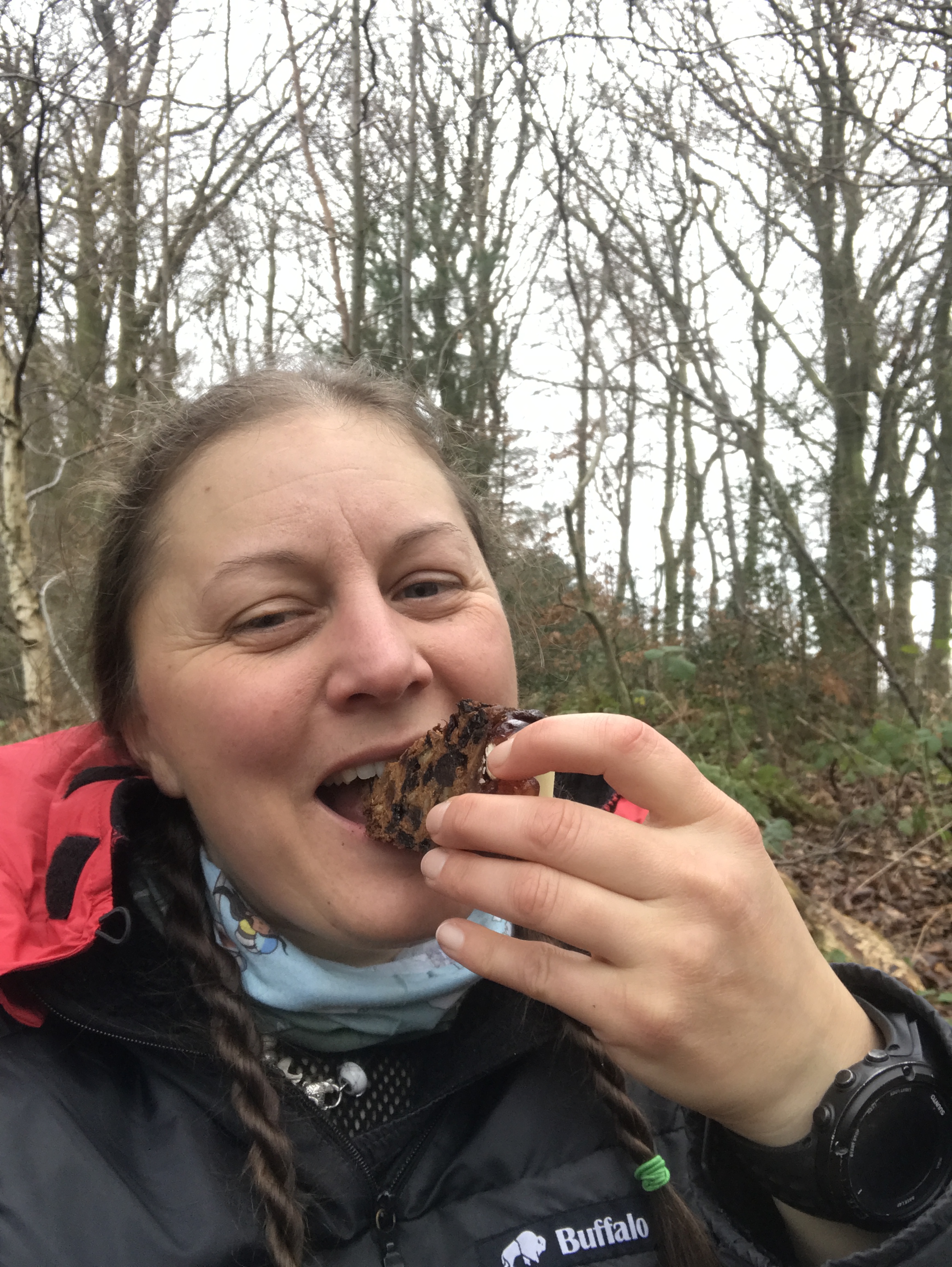
| Cake | Mostly Christmas cake |
| Dance pose | Various, mostly silly |
| Total Cheshire Challenge distance completed | 241km (1500km total) |