

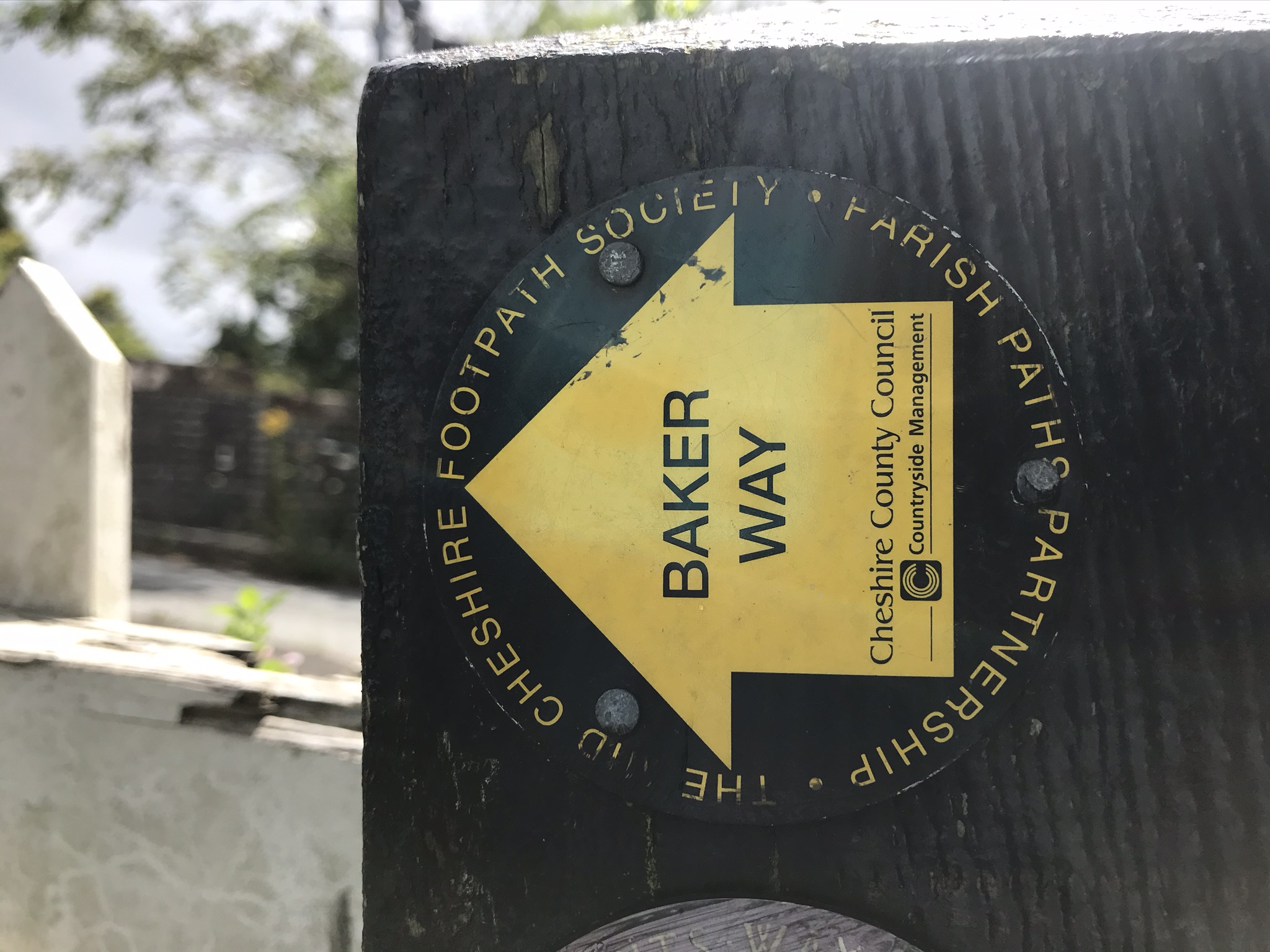
The Baker Way is the first completed path of the Cheshire Challenge and was named after Jack Baker, a much loved and active advocate of local footpaths. It was June 2020 and in less strange times, I’d have taken the train to Chester and walked back but lockdown had changed the timetable and I wasn’t yet sure if I wanted to sit on a train, if only for a short distance. So instead, I was dropped off at Chester Station. The walk is 21km, and takes in city canal, fields and forest along the way, it’s a lovely walk and the weather was mostly kind.
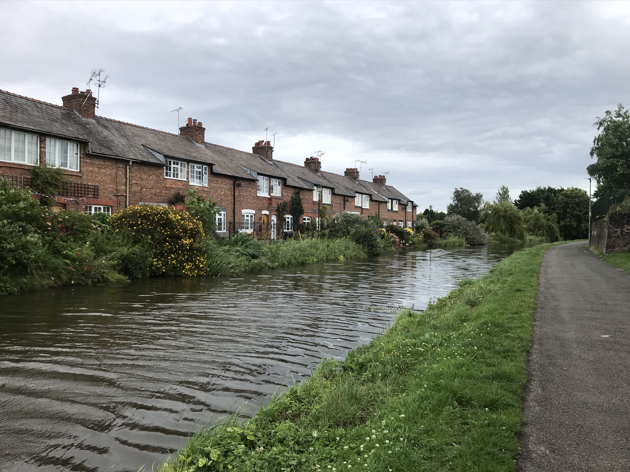
The route picks up the Shropshire Union Canal, so I’ll be walking this way again twice: even though I will have walked the track underfoot, it only counts towards one named path at a time. So, I’ll be back! It was a little odd walking past the cafes and pubs on what would have been a busy Sunday morning and the ducks were clearly wondering where their snacks had gone. I followed the canal out of Chester, moving from old brick warehouses to modern industrial buildings and suburban housing and pubs.

After briefly swapping to a muddy footpath on the opposite bank of the canal, the Baker Way heads off across fields of wheat and maize before popping out onto a quiet country road. The road becomes rougher and broken before turning into a by way, which weaves through the Hockenhull Platts nature reserve and crosses three grade 2 listed medieval bridges. This is border country and the name is a combination of old English and Welsh meaning “the bridges on the old peddlars way”. After the bridges comes the village of Tarvin. This is where we normal drive to for the most excellent fish and chips from King Louis, so it was fascinating to pass through a familiar place on an unfamiliar route.
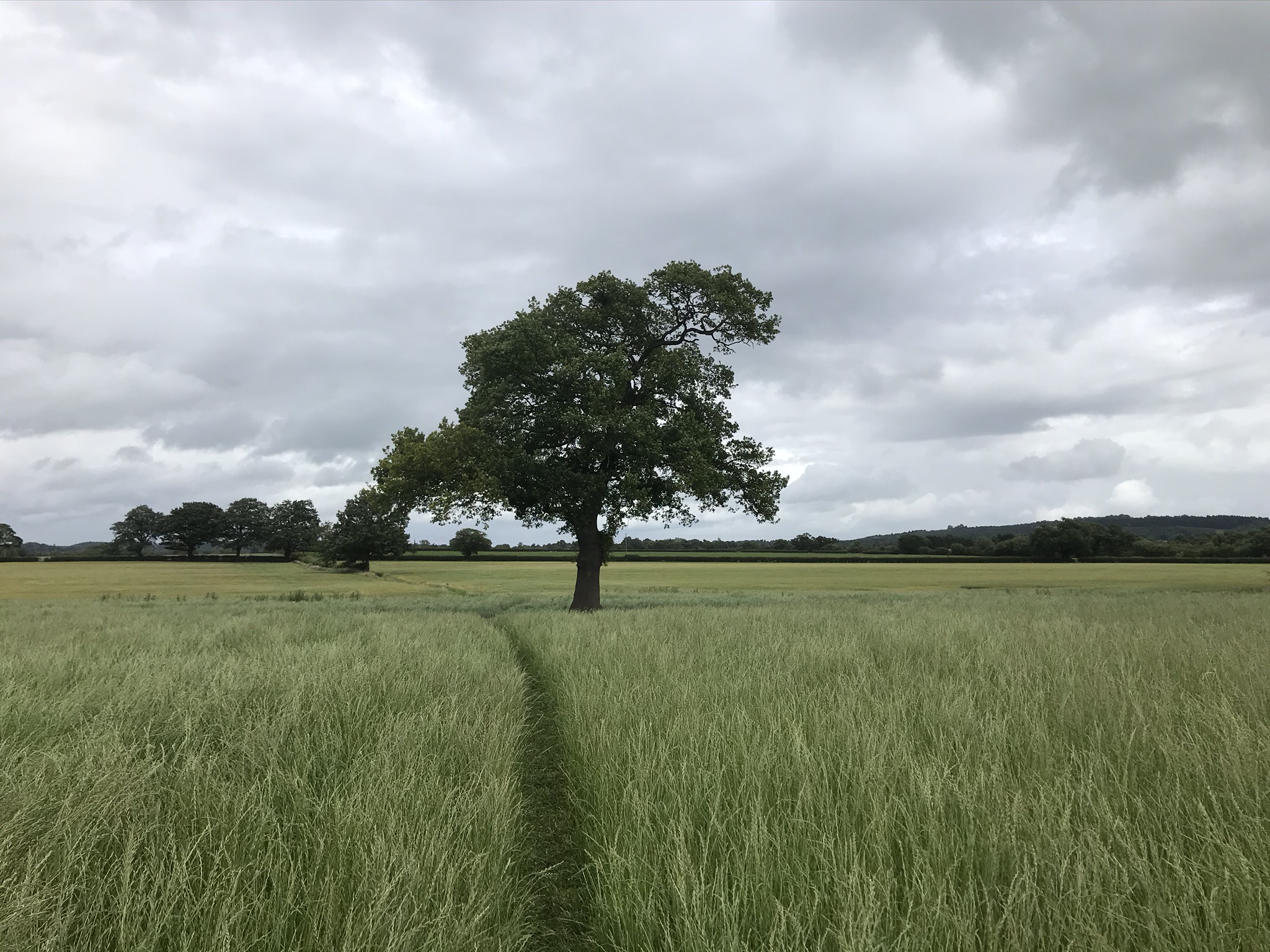
A perfect single oak made an excellent lunch stop and feeling pleased with my efforts I stayed a while, eating cake and leaning against the tree. Drizzle prompted a quick repack and the path carried on, skirting round Ashton and through the splendidly grand Peel Hall which is now a stud farm with foals, all knees and hocks, grazing with their mothers. Then followed a stretch of road walking, though in parts the road was barely more than a track. Now back in familiar territory, the route passed through Brines Brow wood and then a short but rather unpleasant stretch along the road known locally as the switch back. The road is fast here with rough verges and blind corners so I was glad when the route headed off into the forest. This section crosses several other paths on the Cheshire Challenge and it was quite exciting to know I would be walking them all.


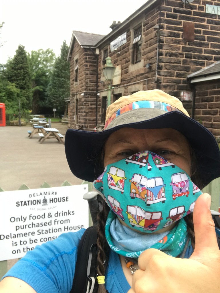
When I first moved to the area, it took me a while to realise just how many bridges cross the railway in the forest and it did my navigation confidence no good when I’d find myself back at a sandstone bridge facing the opposite direction I was sure I was headed. The Baker Way crossed three bridges as it winds through the forest, the afternoon sun had brought out families walking round the Gruffalo trail and it seemed crowded compared to my mostly solitary walk. Finally the path came to the station at Delamere and I was done. The first completed path! I wonder which will be next?
Video of the walk HERE
The route is available on the Ordnance Survey website HERE
| Cheshire Challenge distance | 21km |
| Paths walked | Baker Way |
| Total distance | 21km |
| Total ascent | 241km |
| OS map | OS Explorer 226, 267 |
| Date walked | 28th June 2020 |
| Time taken | 6 hours |
| Cake | Cherry sponge |
| Dance pose | Waterfall |
| Total Cheshire Challenge distance completed | 31.9km (1500km total) |

1 thought on “Cheshire Challenge walk 2 – Baker Way”