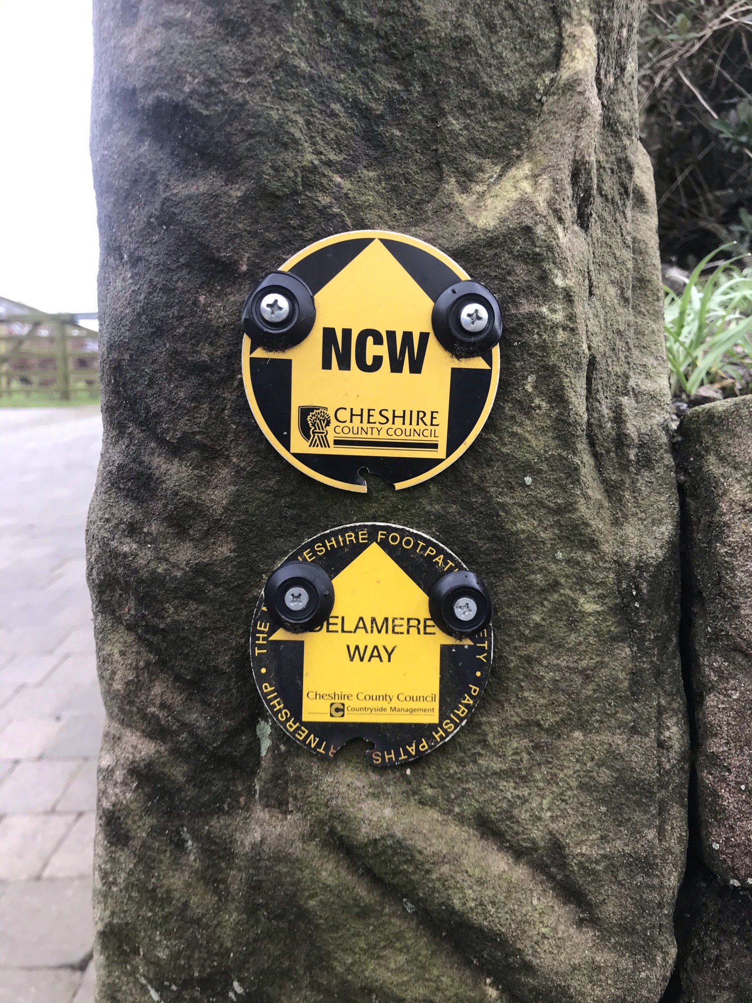
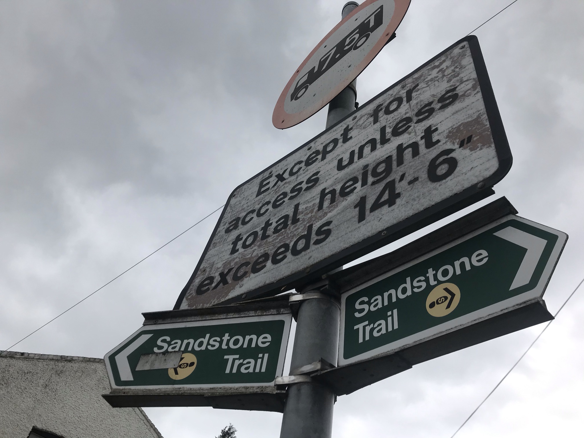
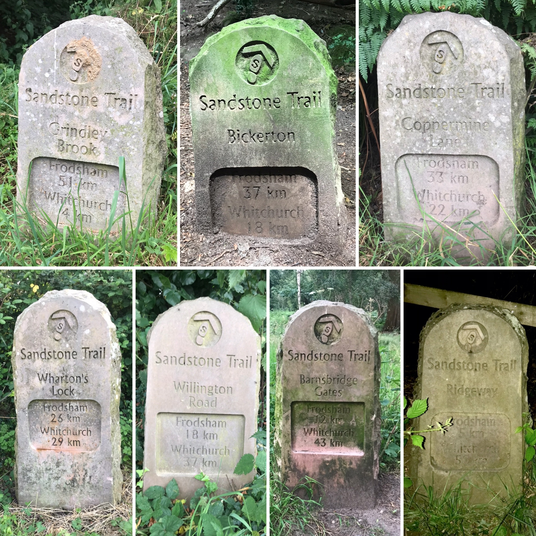
The Sandstone Trail. Its probably one of (if not the) most well-known long-distance path in Cheshire. It joins the towns of Frodsham in the north and Whitchurch in the south, 55km (or 54km on the OS route below) broadly following the sandstone ridge. Most years there are events to walk or run the whole route in a day, long before the Cheshire Challenge became a ‘thing’ I pondered walking the whole route. Early in the challenge the closeness of the Eddisbury Way, which runs almost parallel to the Sandstone Trail made for convenient and easy circular walks: 1, 5 and 22. After walking 55km on the relatively flat Wirral Circular Trail I wanted another big endurance challenge and even though it meant repeating sections, walking the Sandstone Trail in a day fitted the bill.


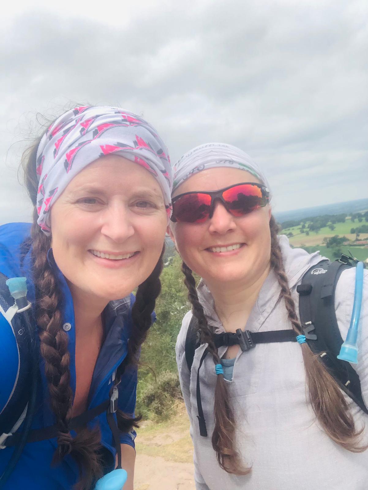
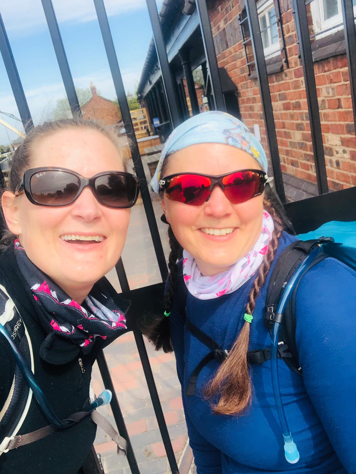
Although the distance is the same, the elevation and terrain certainly isn’t: 495m meters versus 1090m and pavement versus dirt tracks and towpaths. This makes for an interesting challenge, although the route is tougher the variation is much easier on the feet and legs than pavement-pounding. And so I made a plan once again with Sarah Williams.
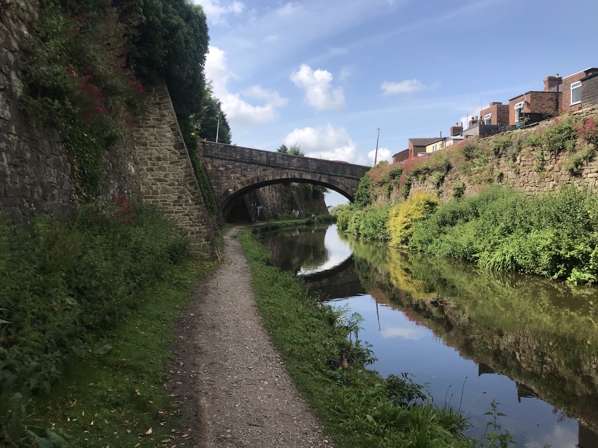
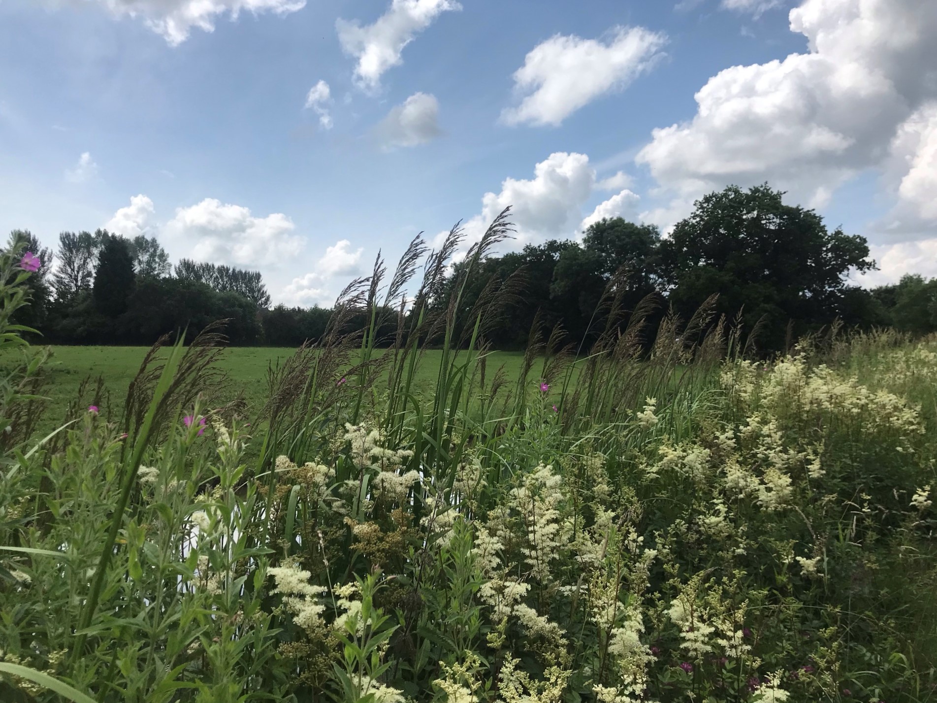
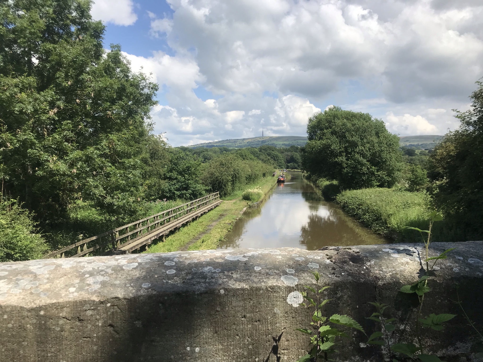
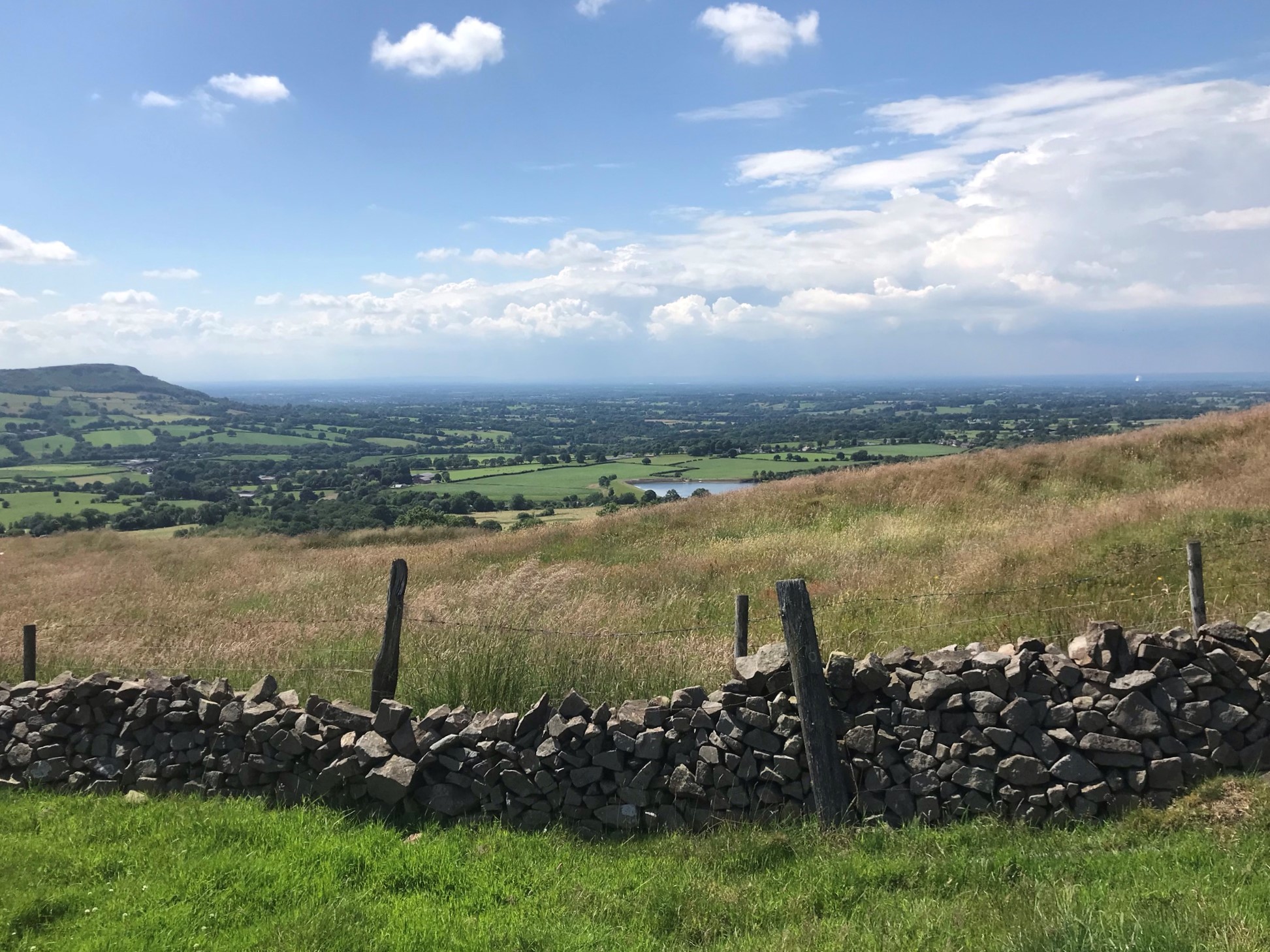
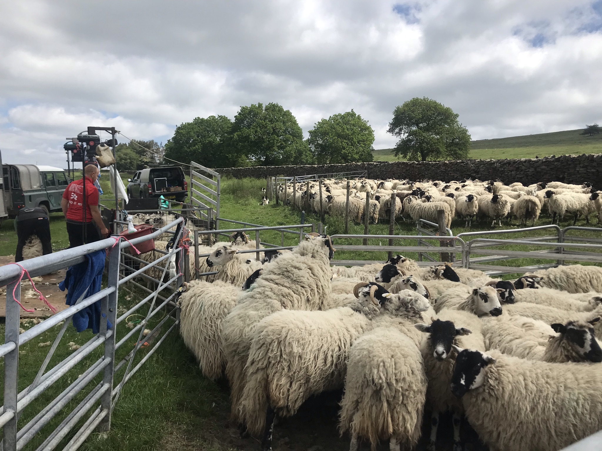
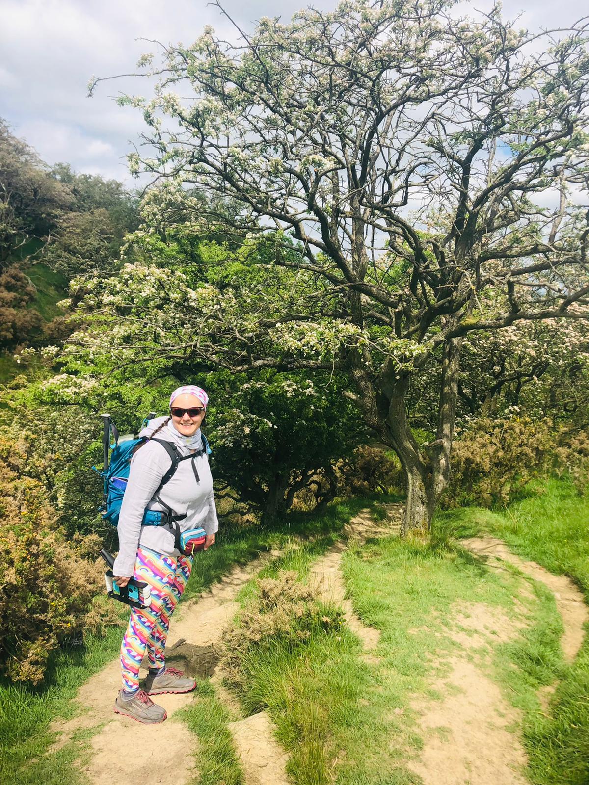
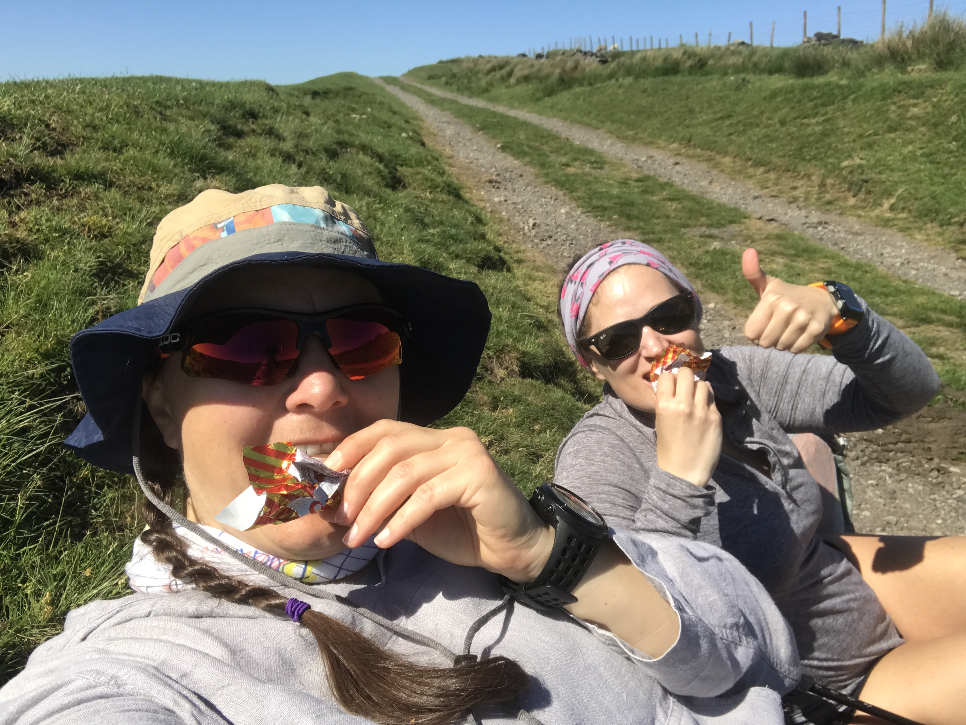
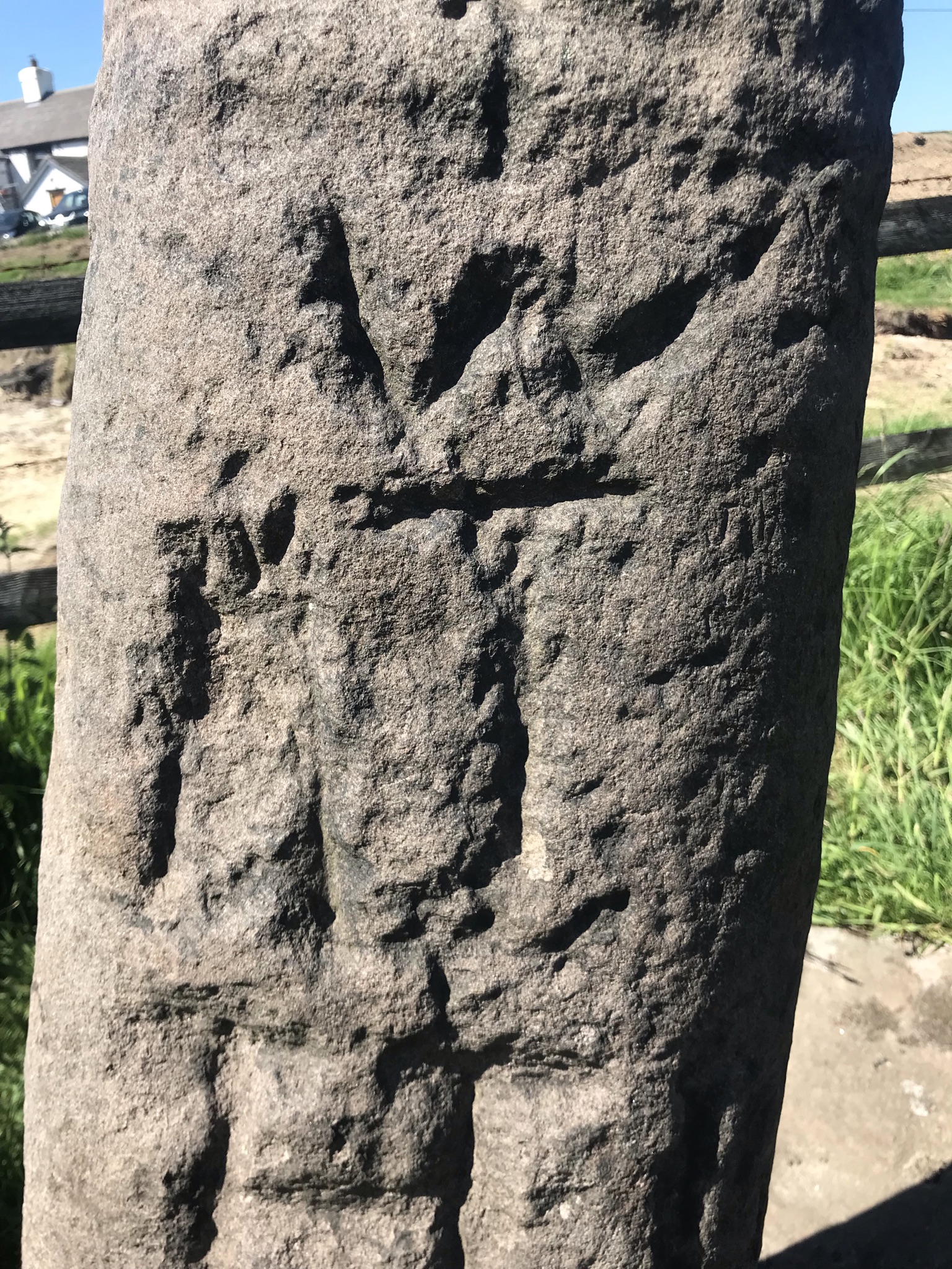
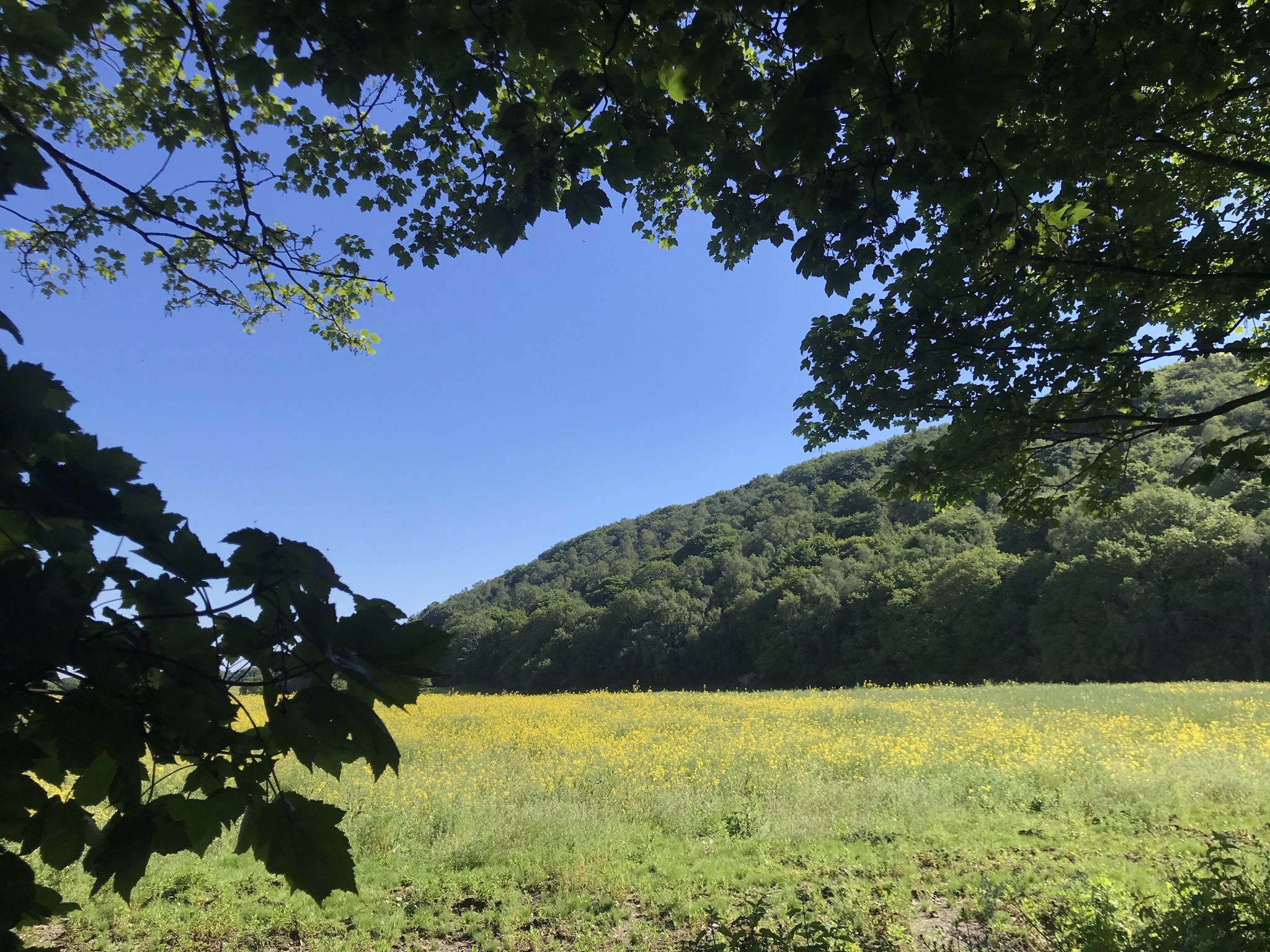
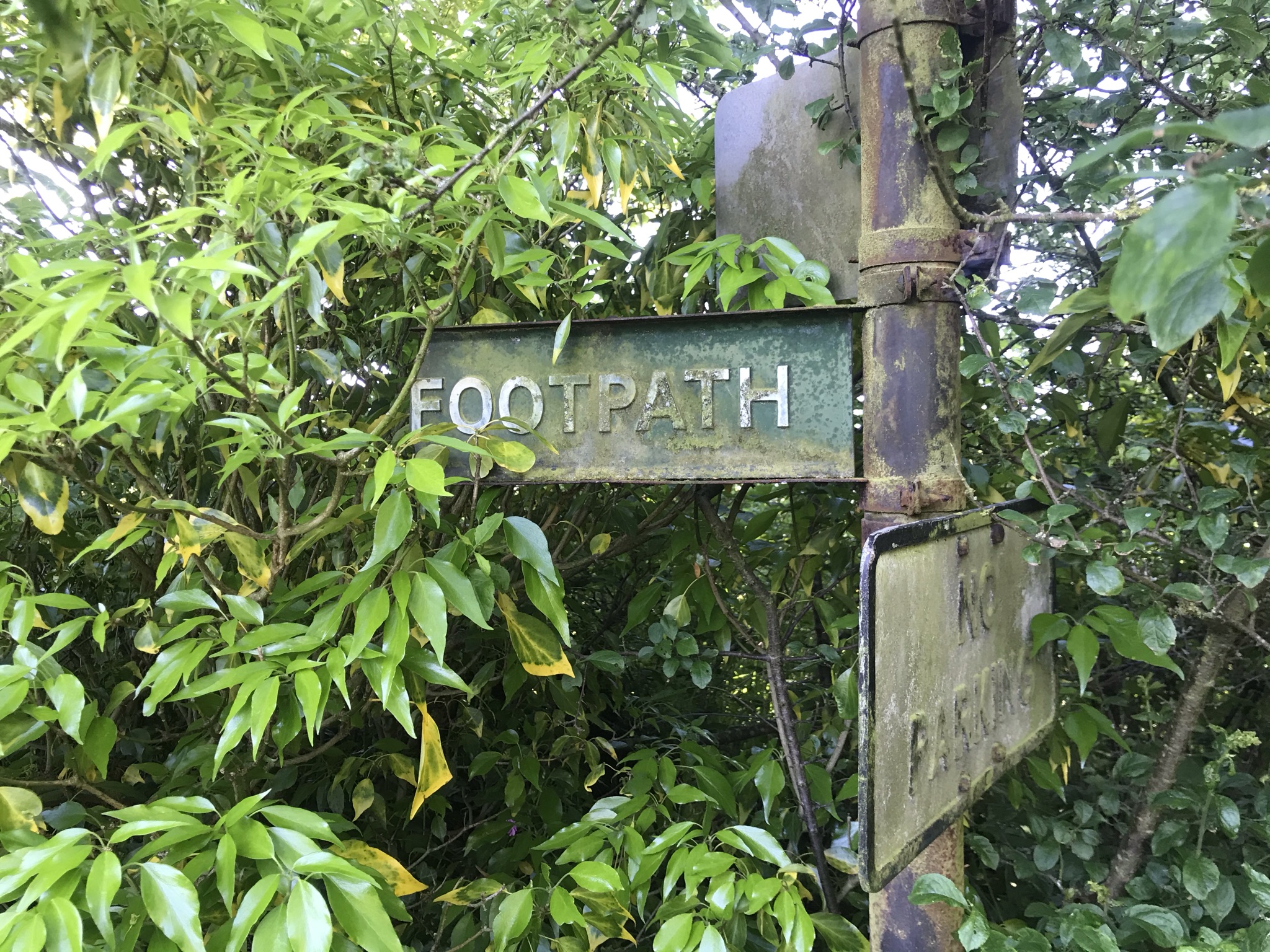
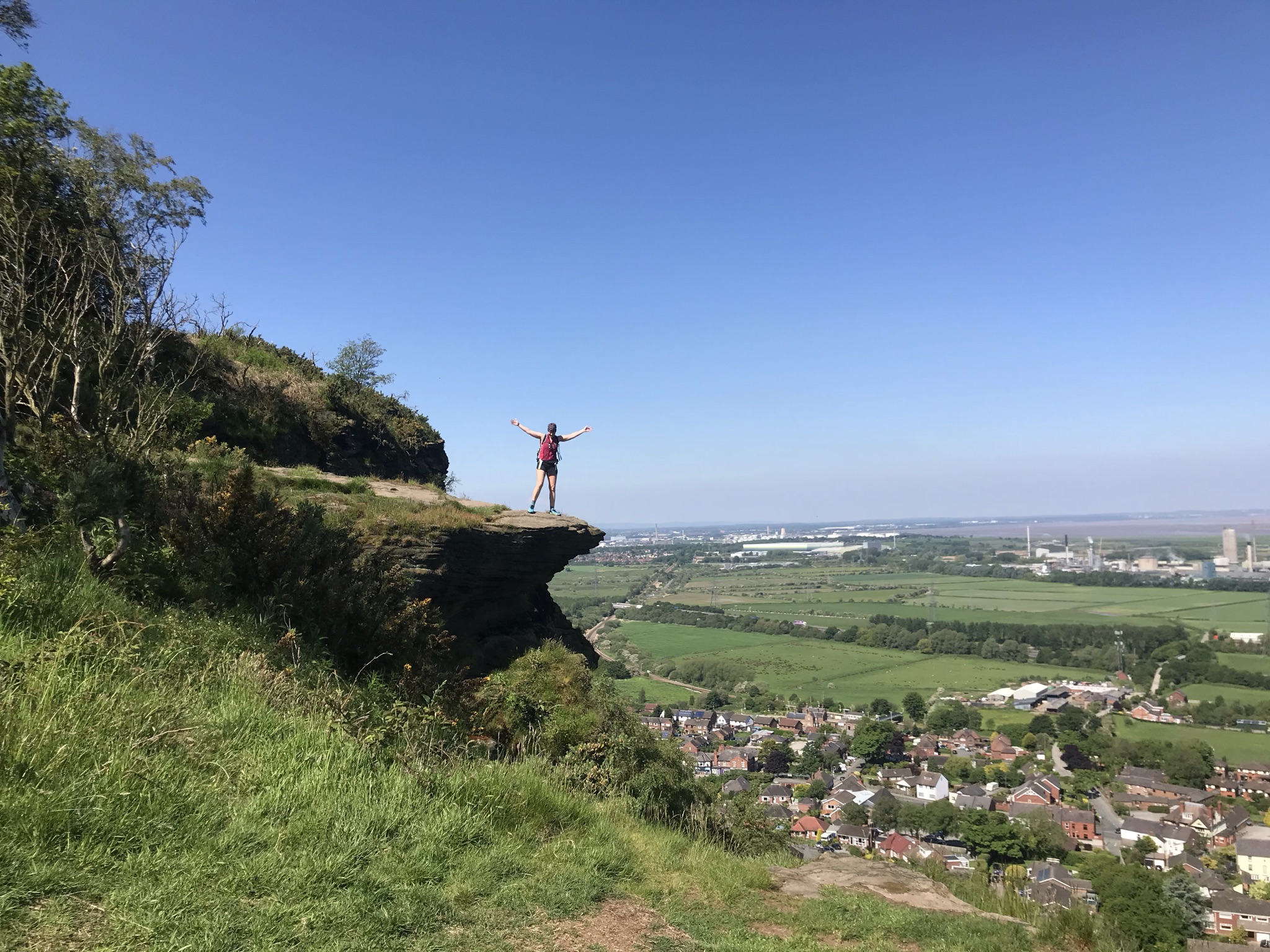
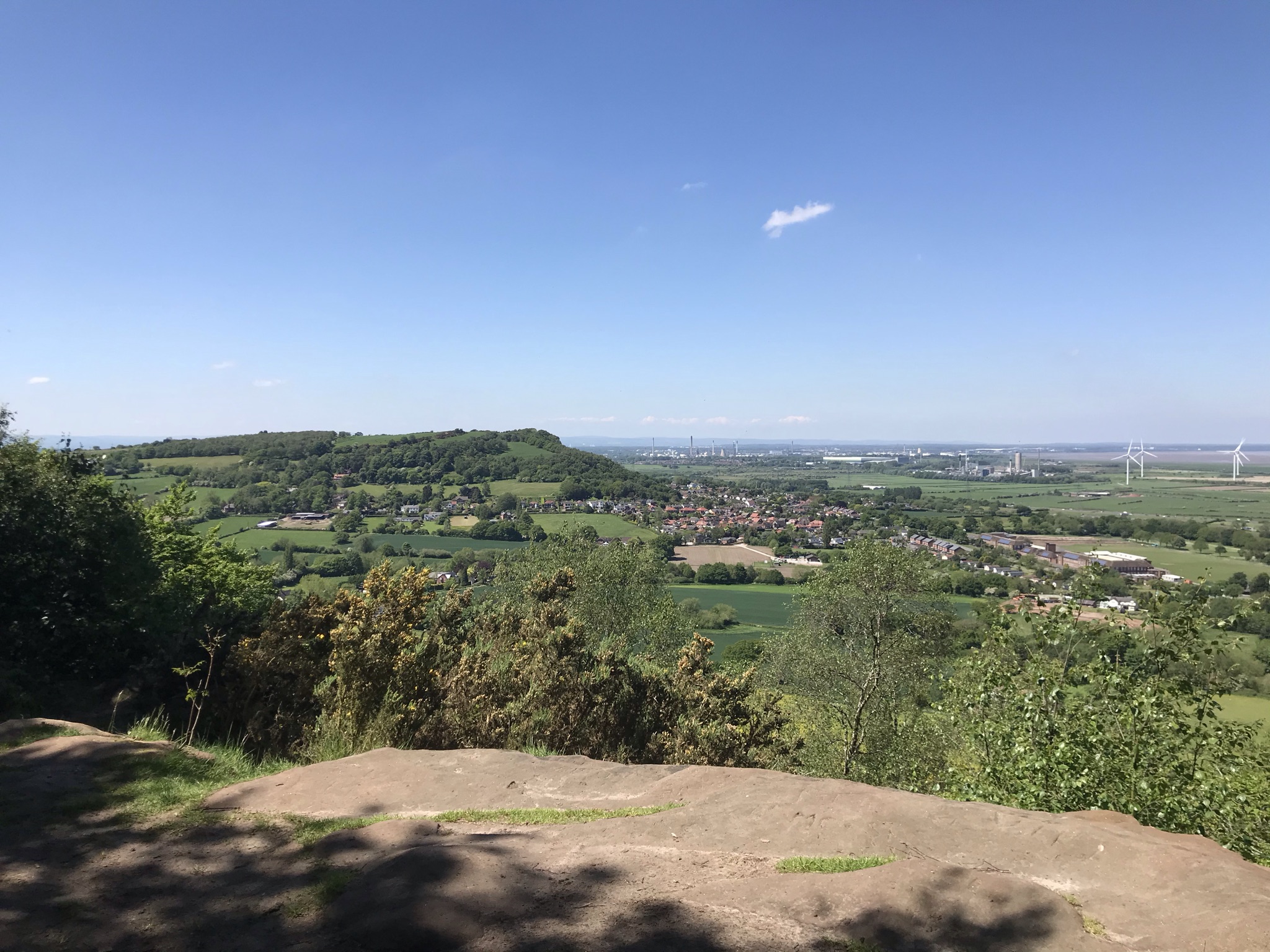
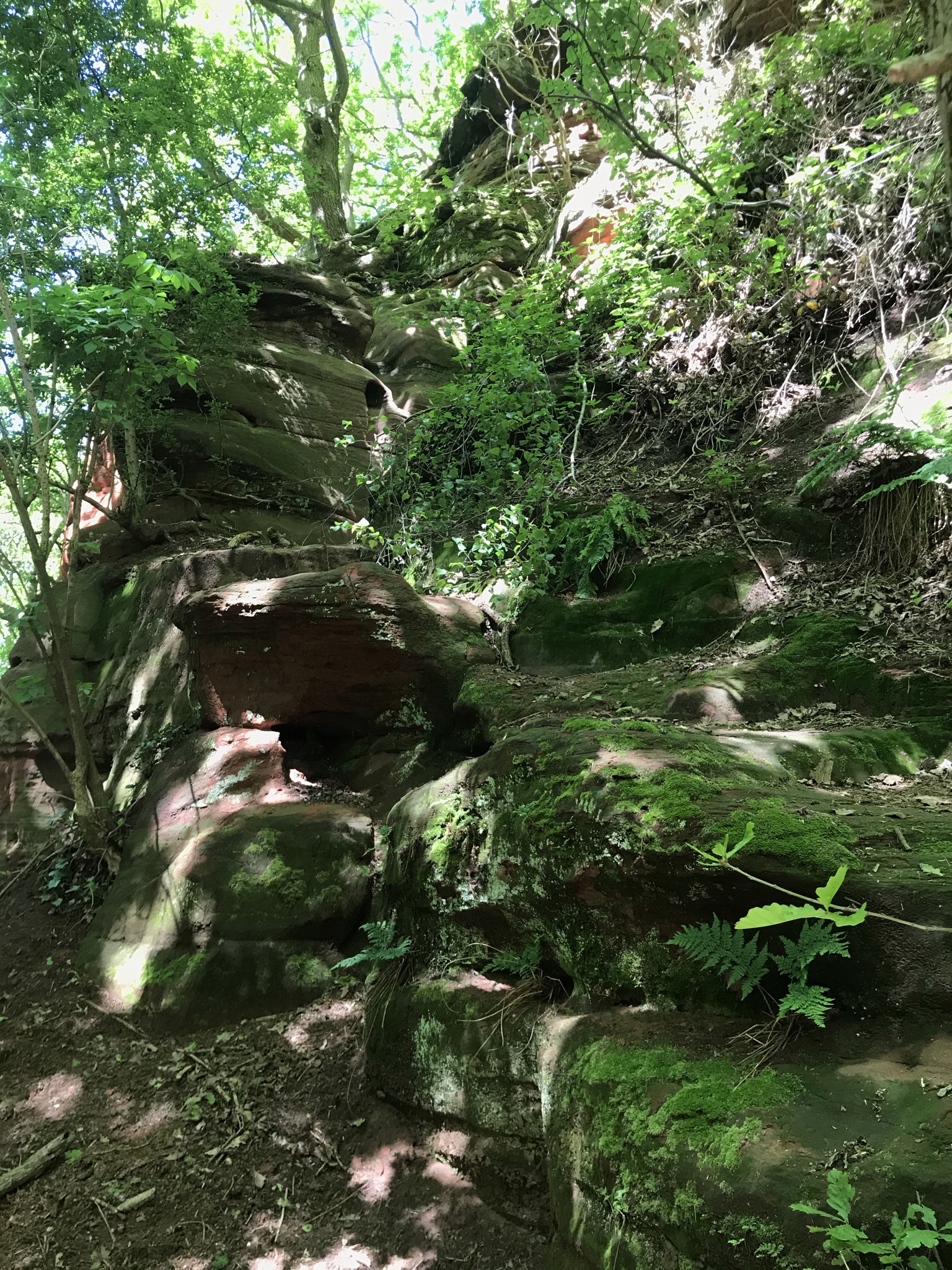
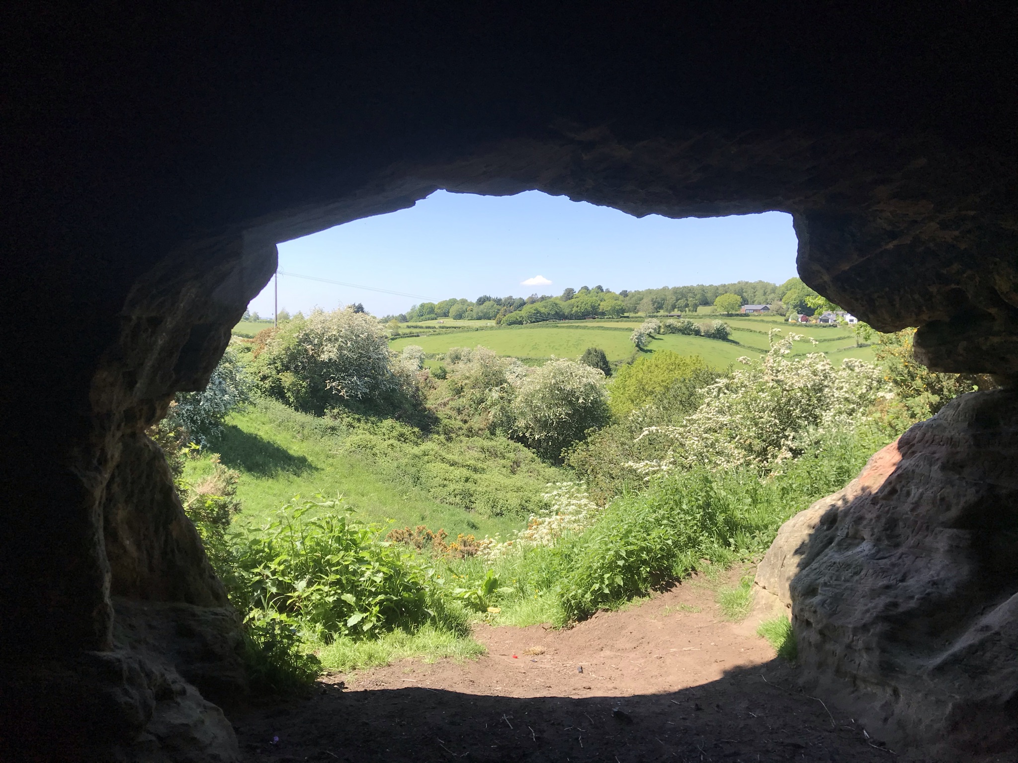
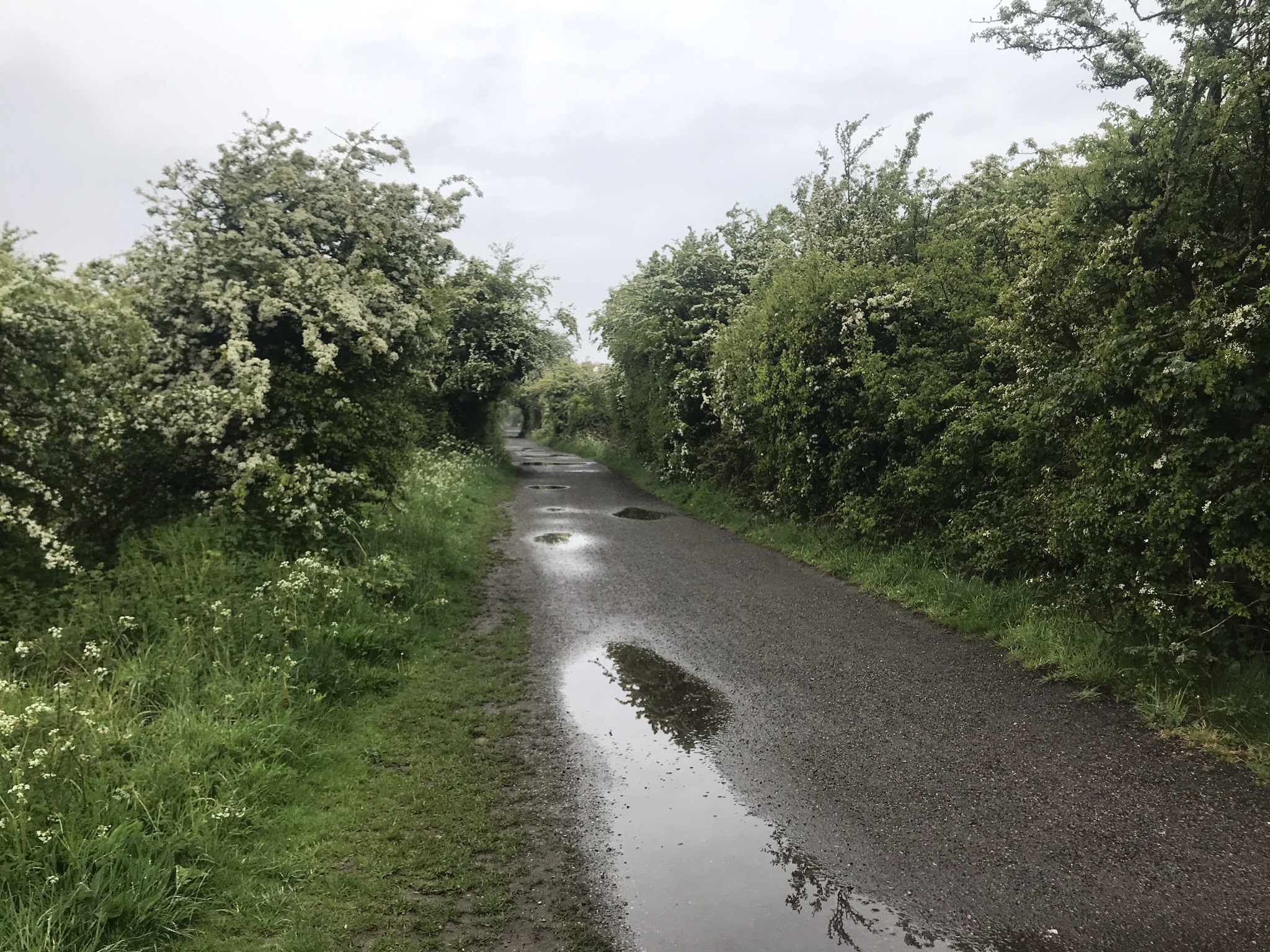
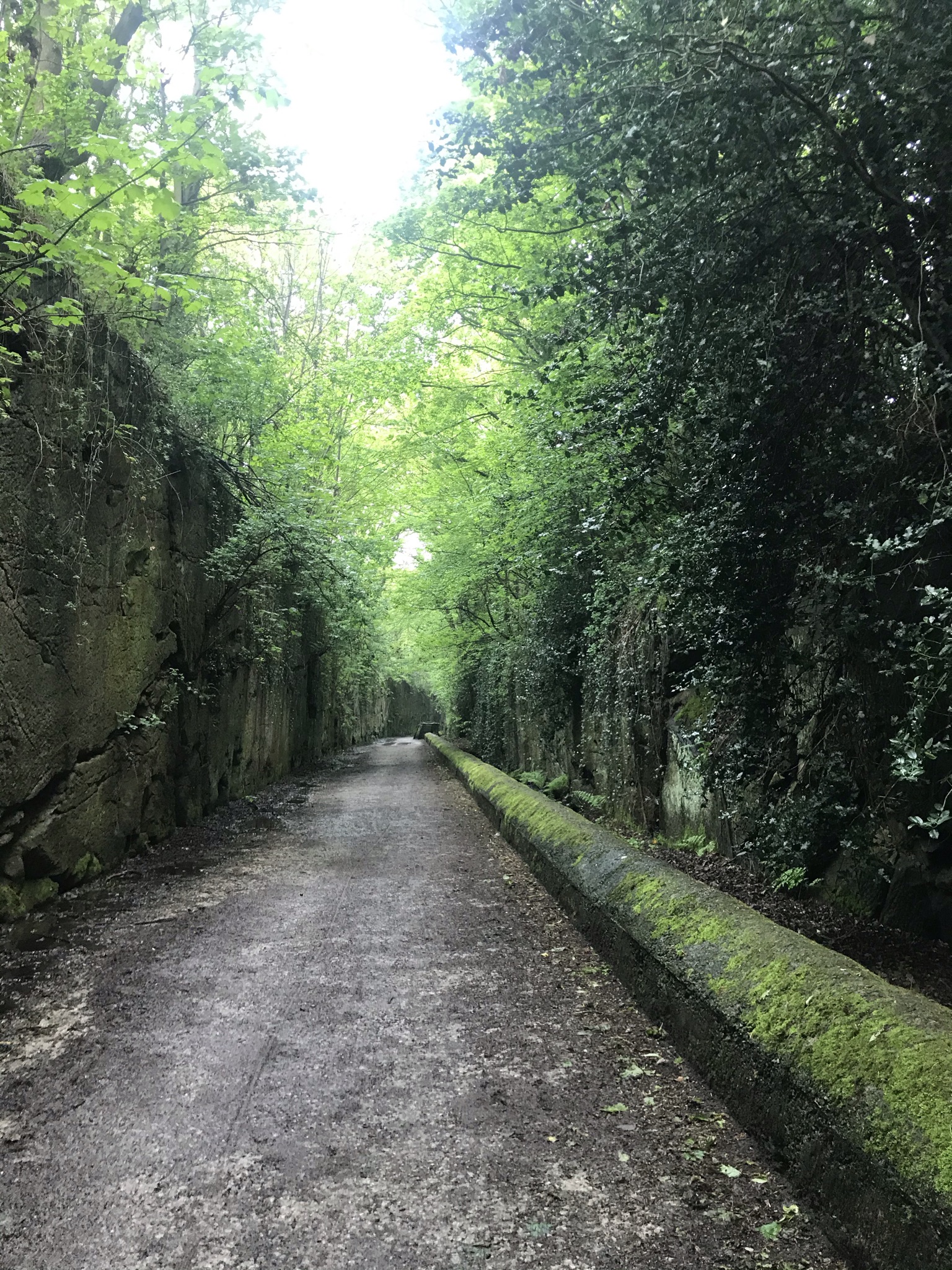
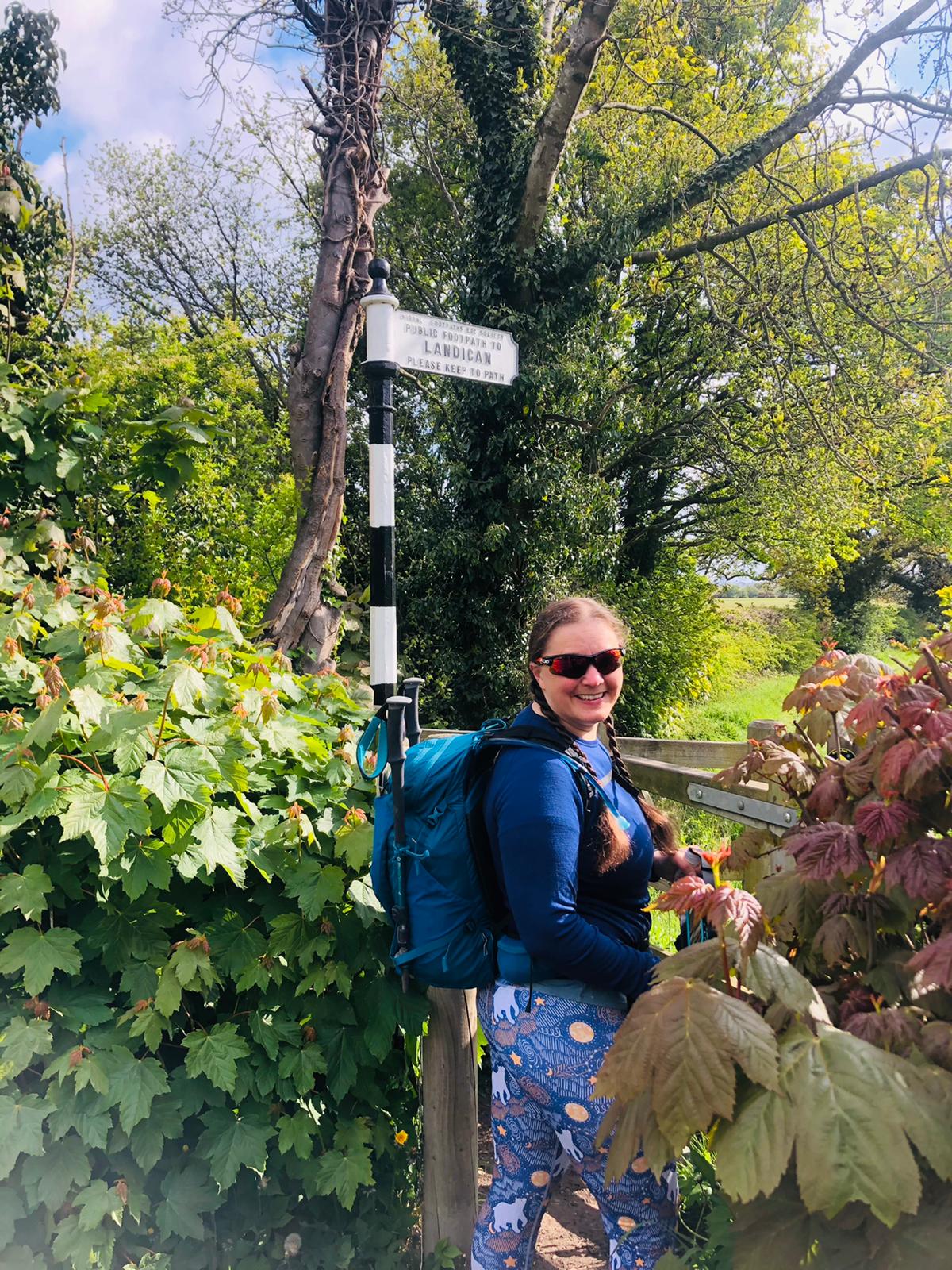
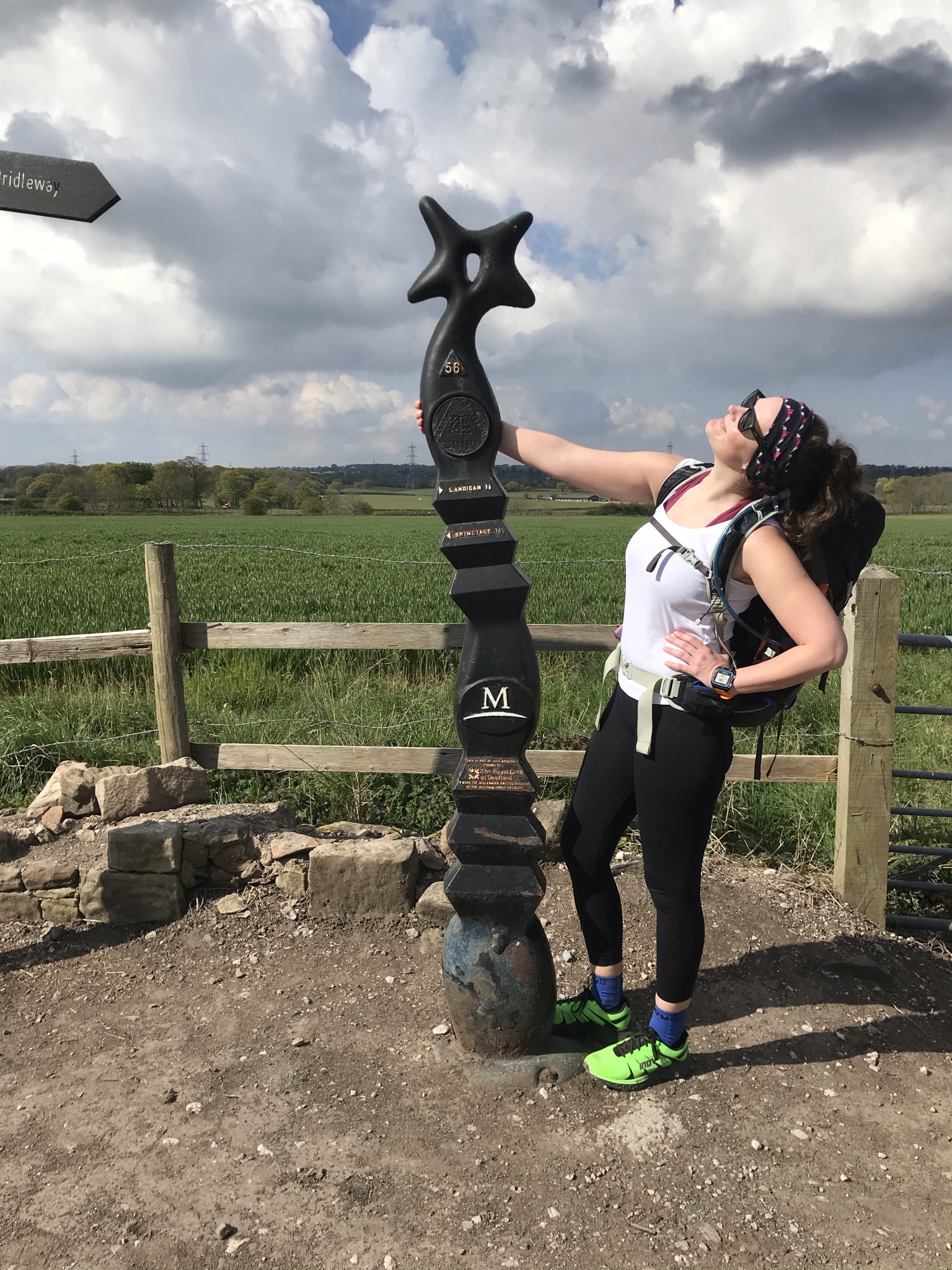
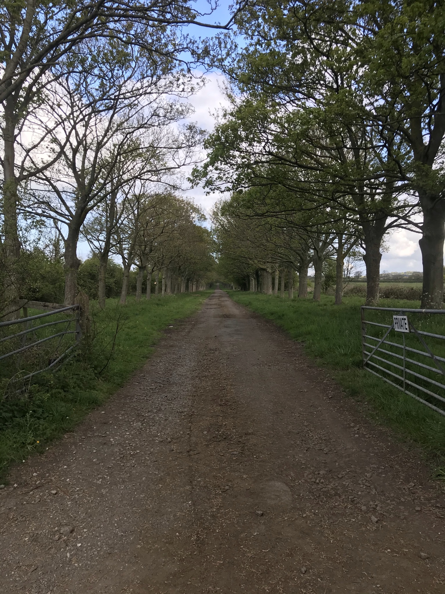
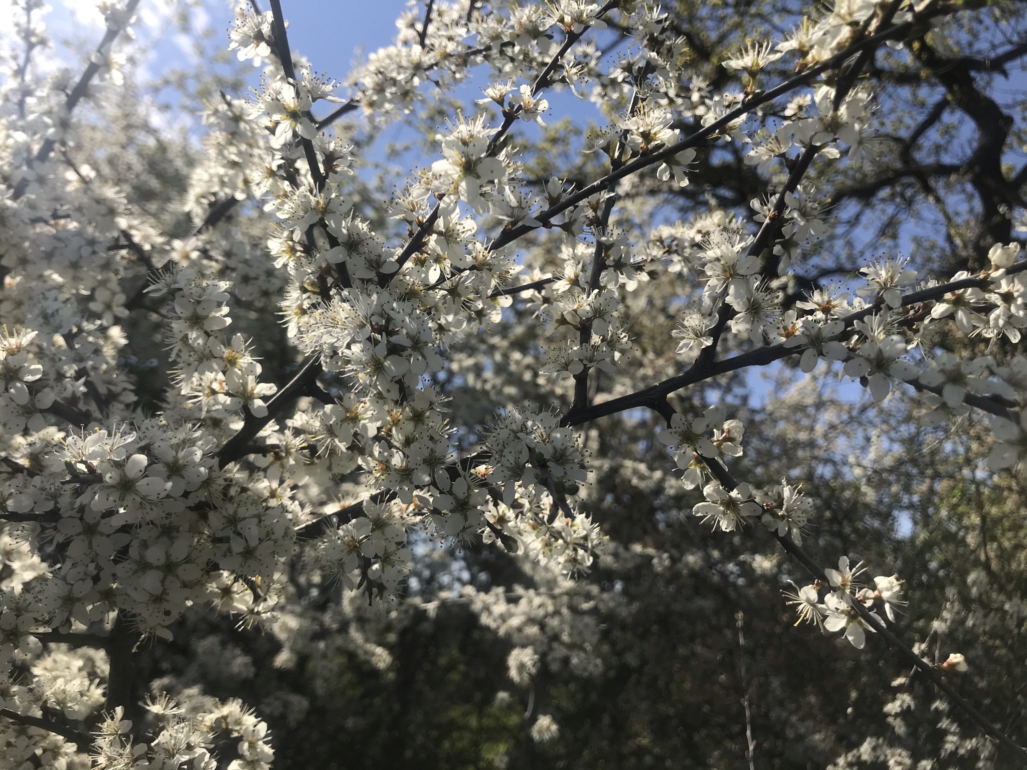
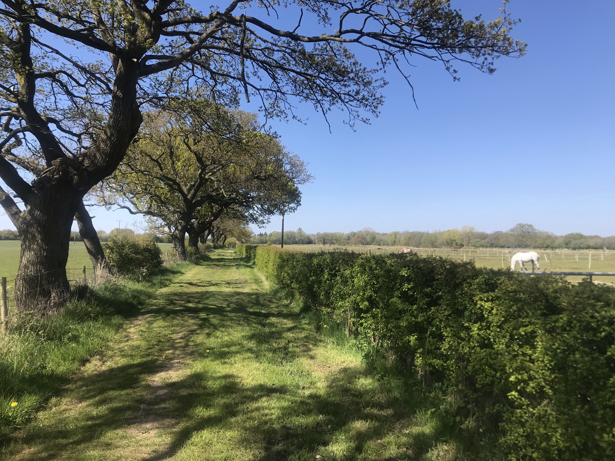
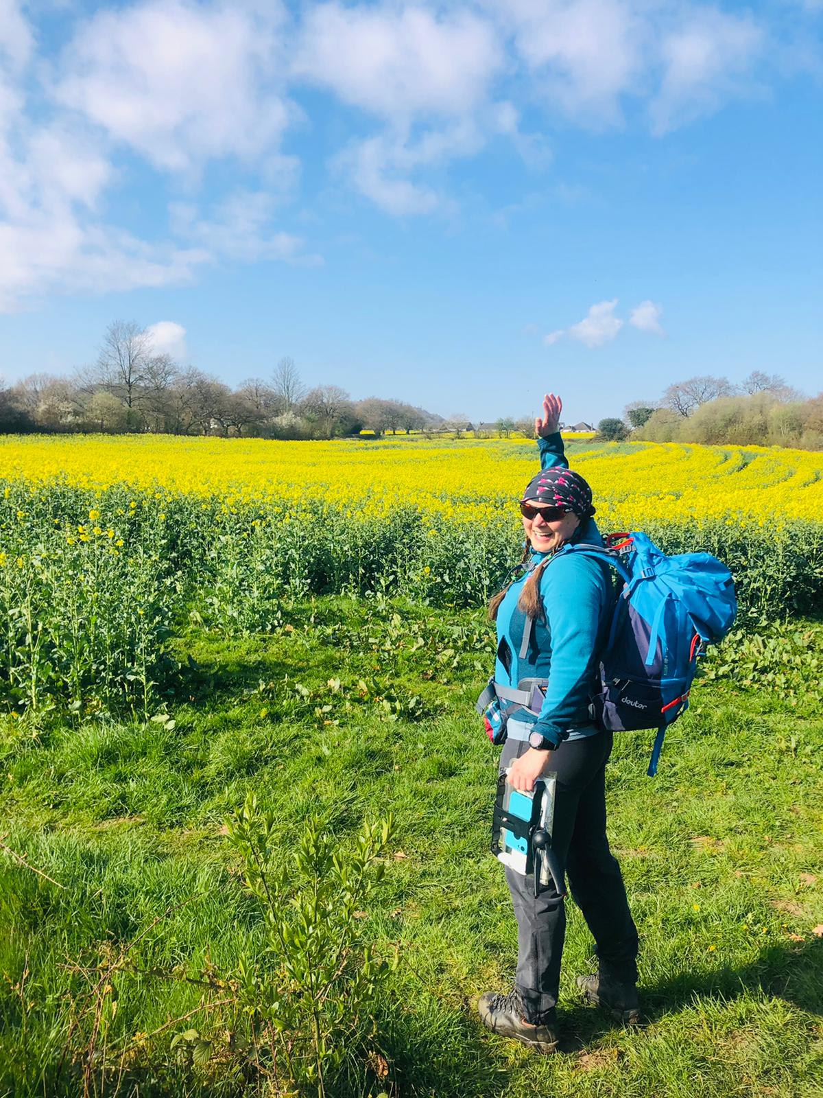
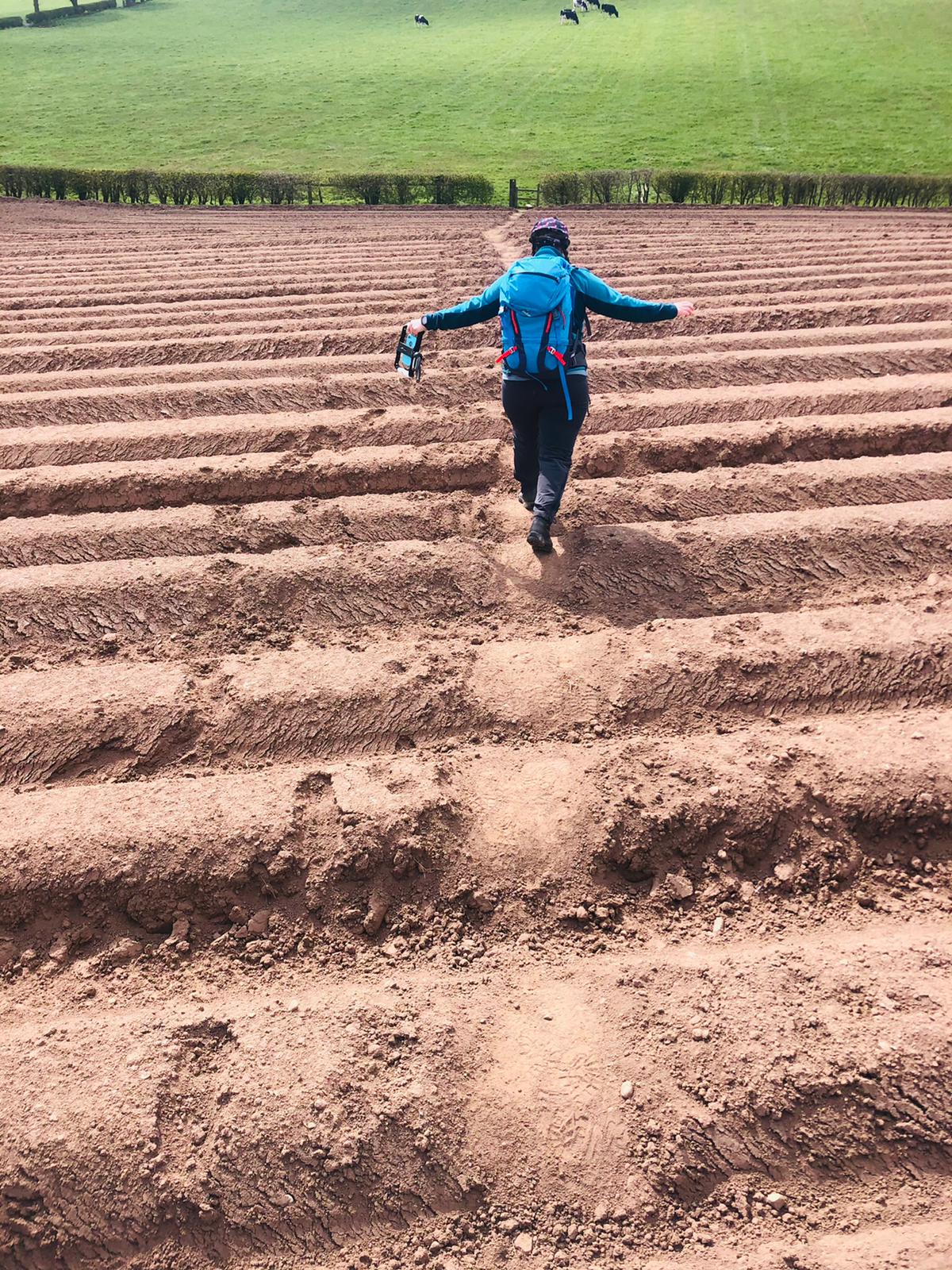
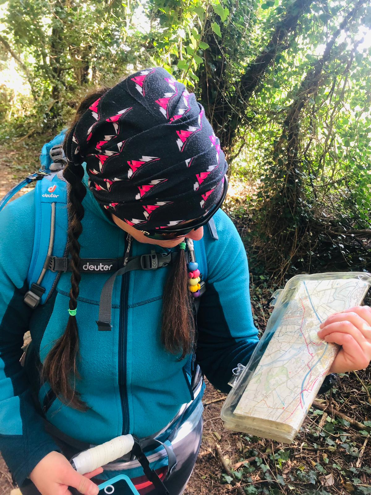
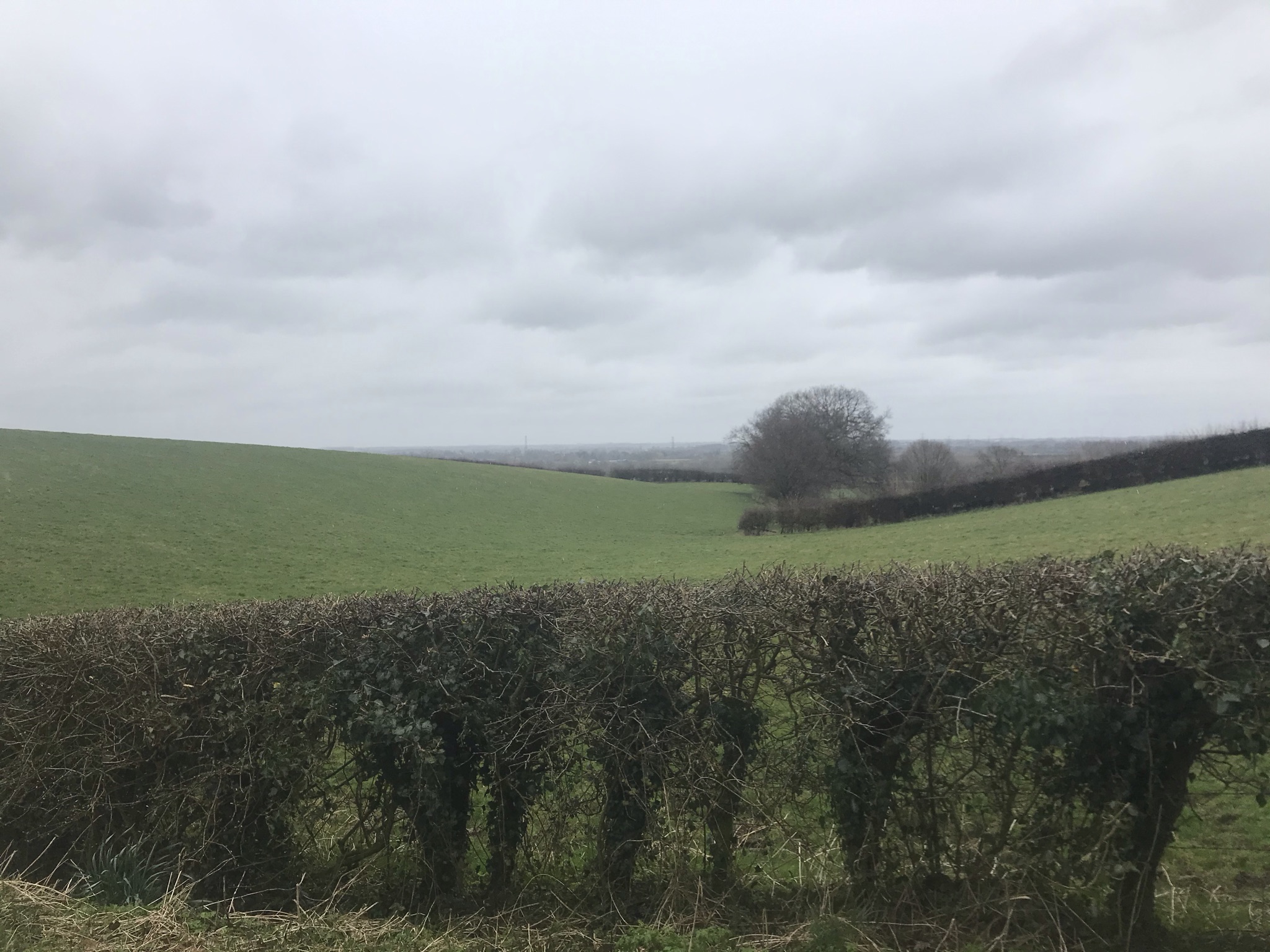
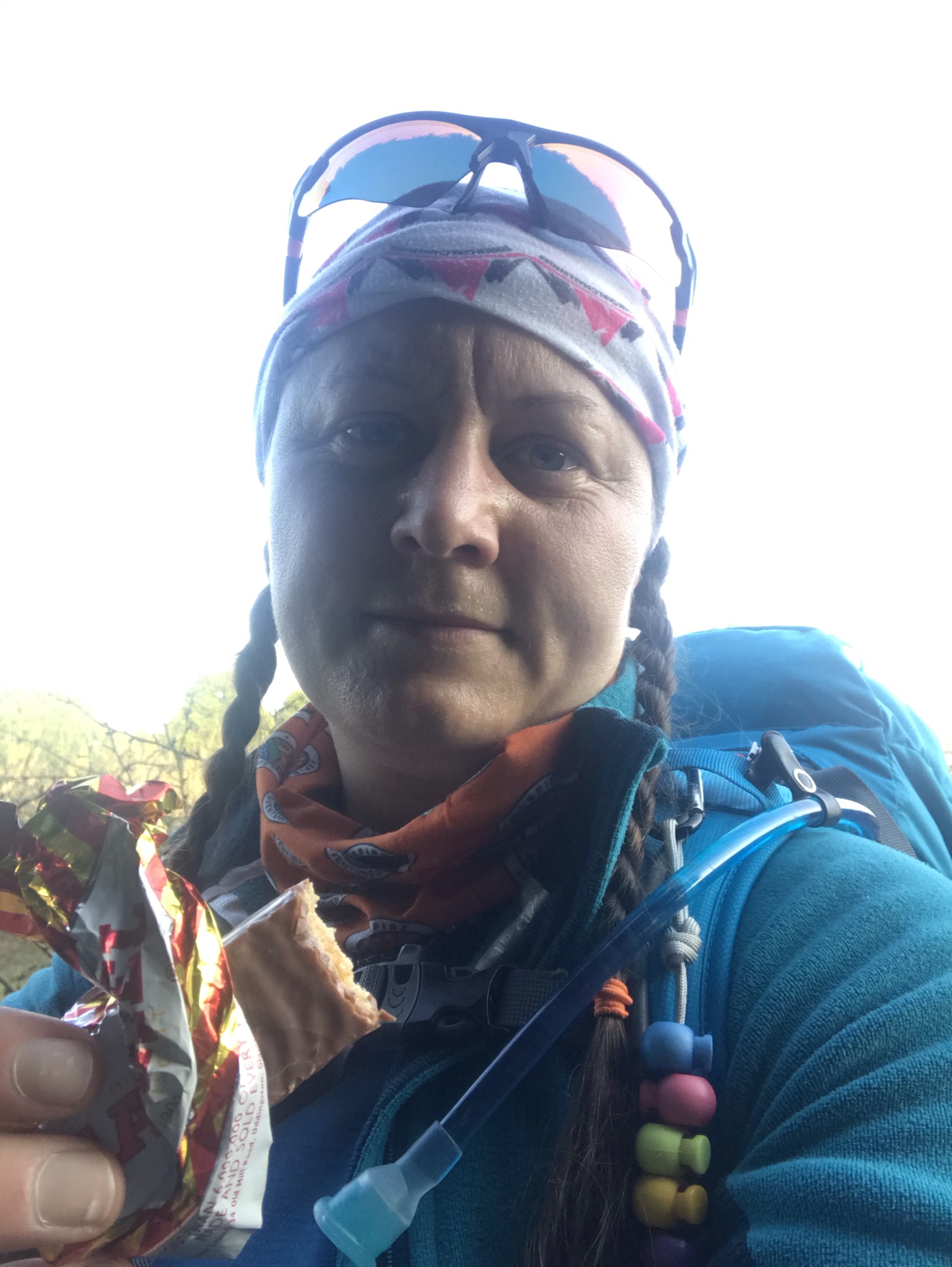
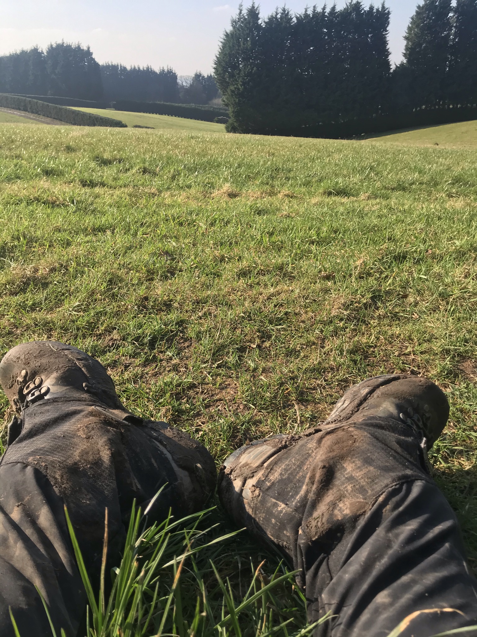
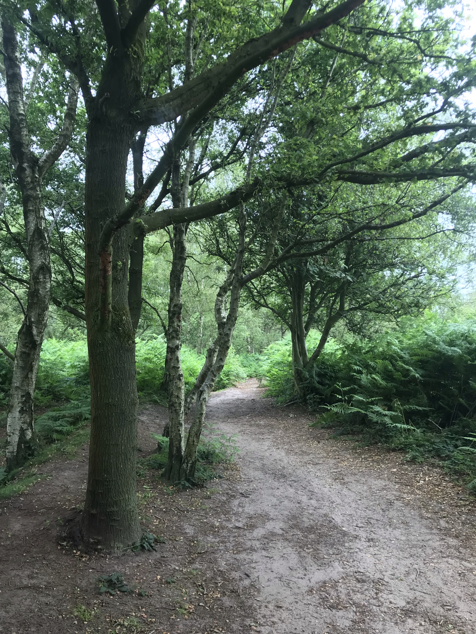
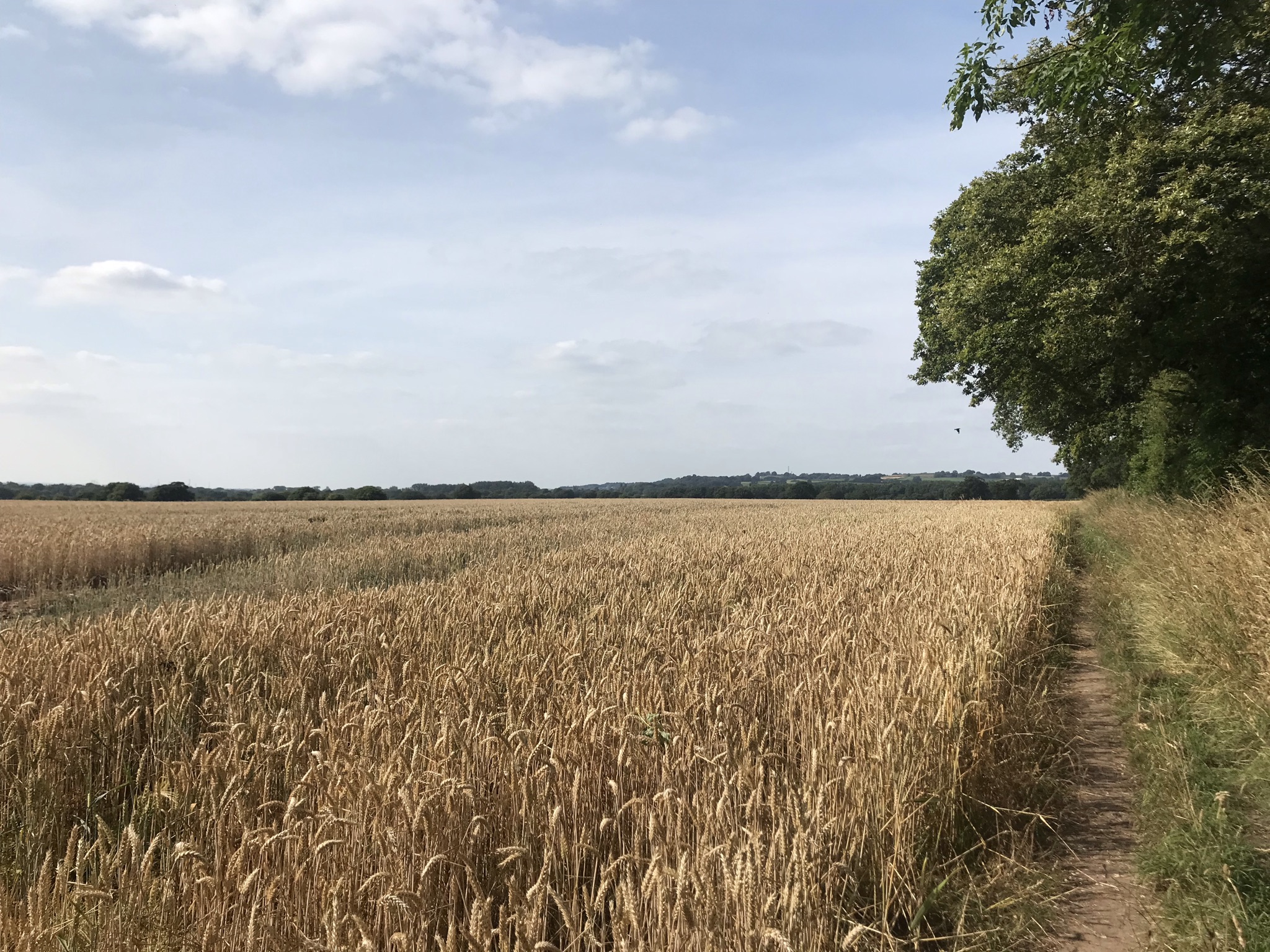
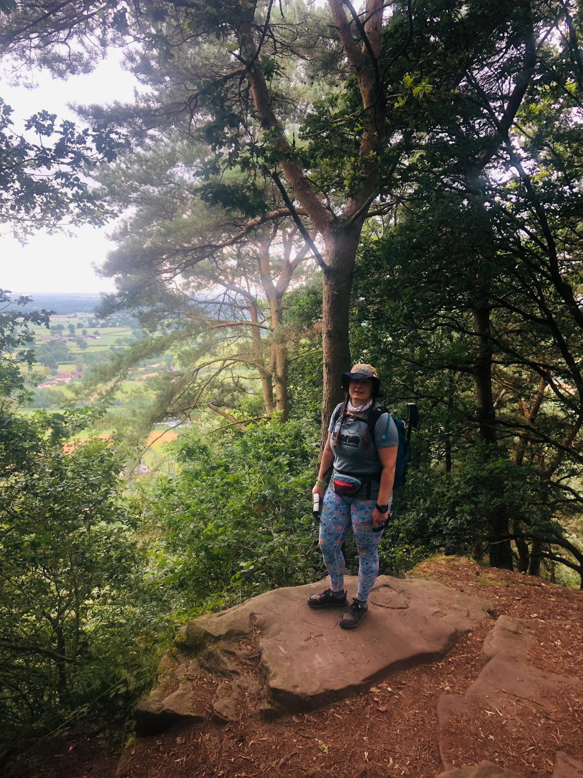
We were dropped off in Whitchurch at just after 7am and after a little faffing to get to the exact start, a sandstone arch on the edge of Jubilee Park, then a little more faffing with the GPS dancing around to find the right path indicated by a small waymark halfway up a lamppost hidden by trees. But we were off and quickly picked up the Whitchurch spur of the Llangollen canal and onto the Llangollen canal heading north. 5.5km along the canal settled us into the walk, then a few steps down at Willeymoor Lock lead across gently rolling fields. The fields were full of ripening wheat, barley and oats, maize towering over our heads and rich grass. The trail passes alongside farms and round a racehorse yard, the sandy track neatly raked ready for the day’s training. The rolling fields came to an end at Bickerton and the steep climb up to the fort, picking up the sandstone ridge. We had no time to explore on this walk, though there are many fascinating places along the way. Along the ridge of Bickerton Hill is Mad Allen’s hole, a small cave once occupied by a hermit called John Harris in the late 18th Century. Its tricky to get to but I may well return for an explore. Up on the ridge is a memorial and poem to Kitty, the wife of Leslie Wheeldon who helped the National Trust acquire the land.


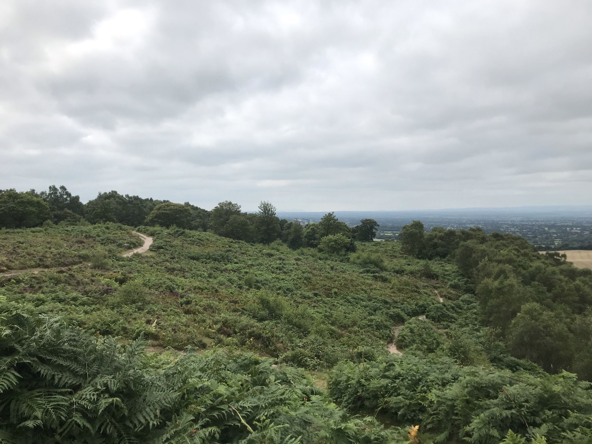
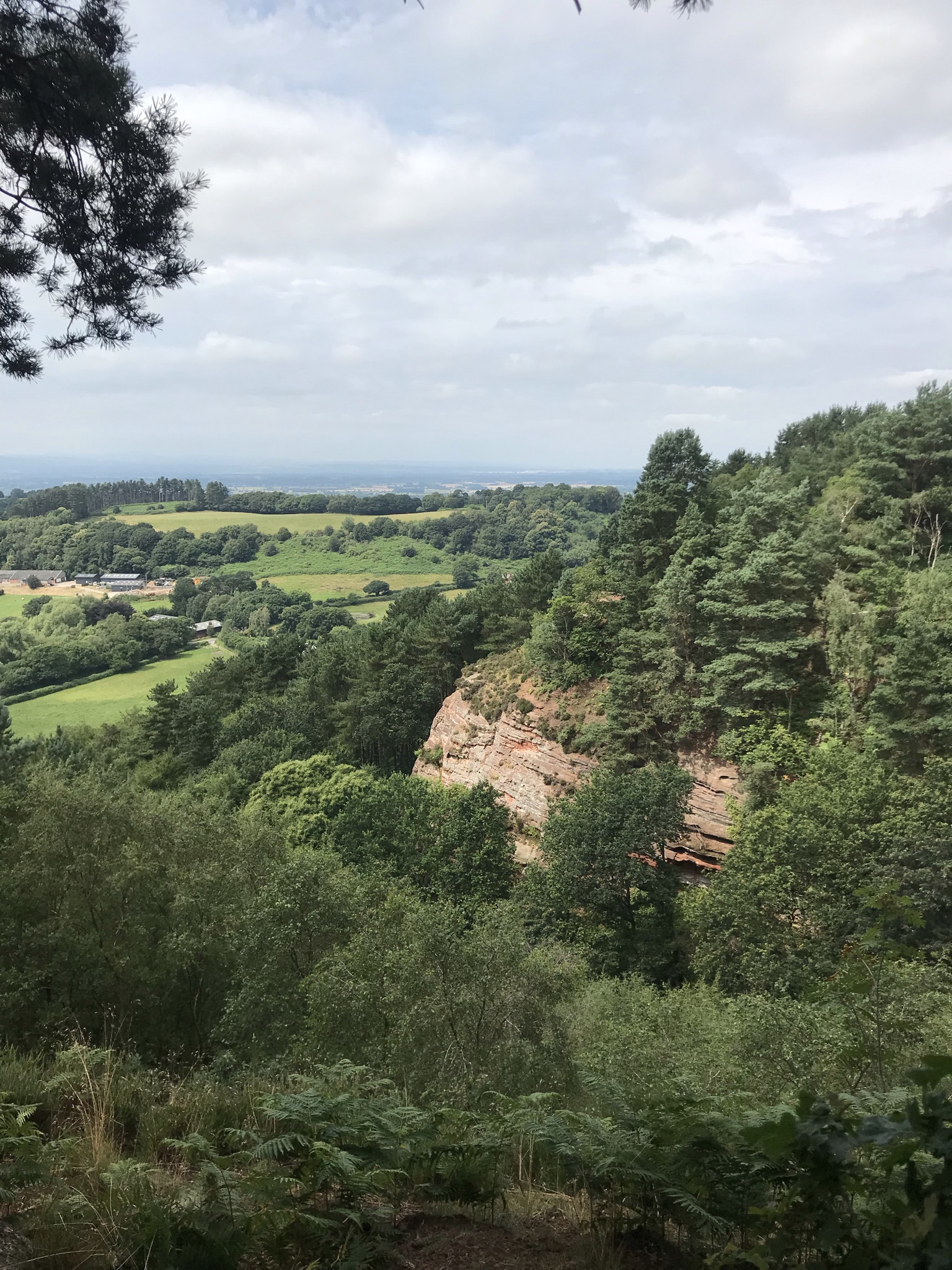
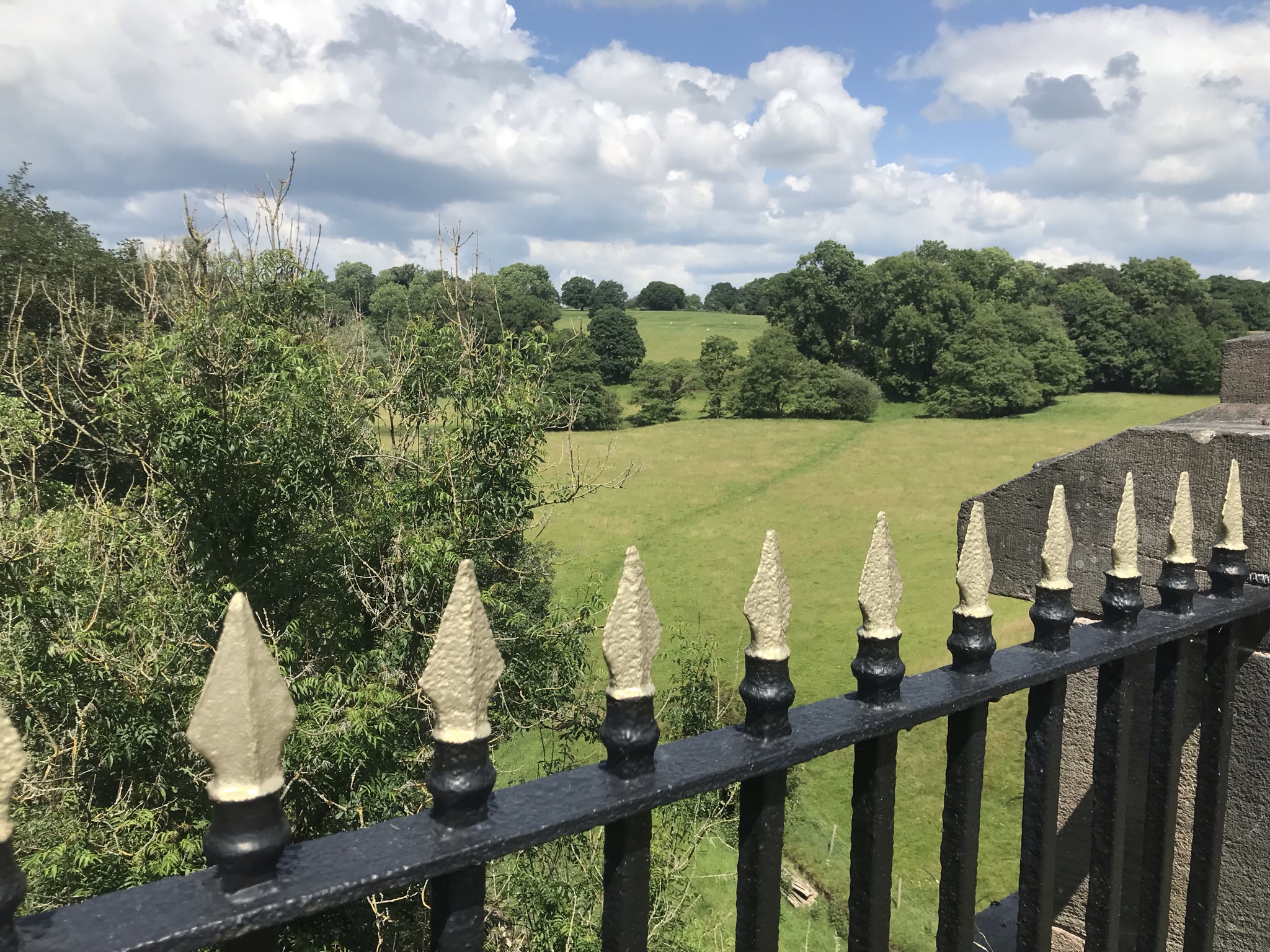
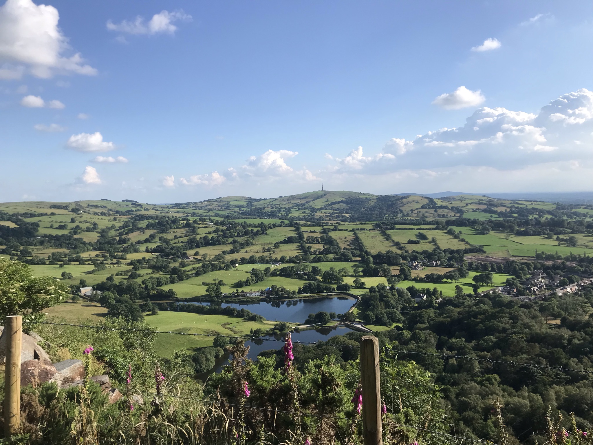
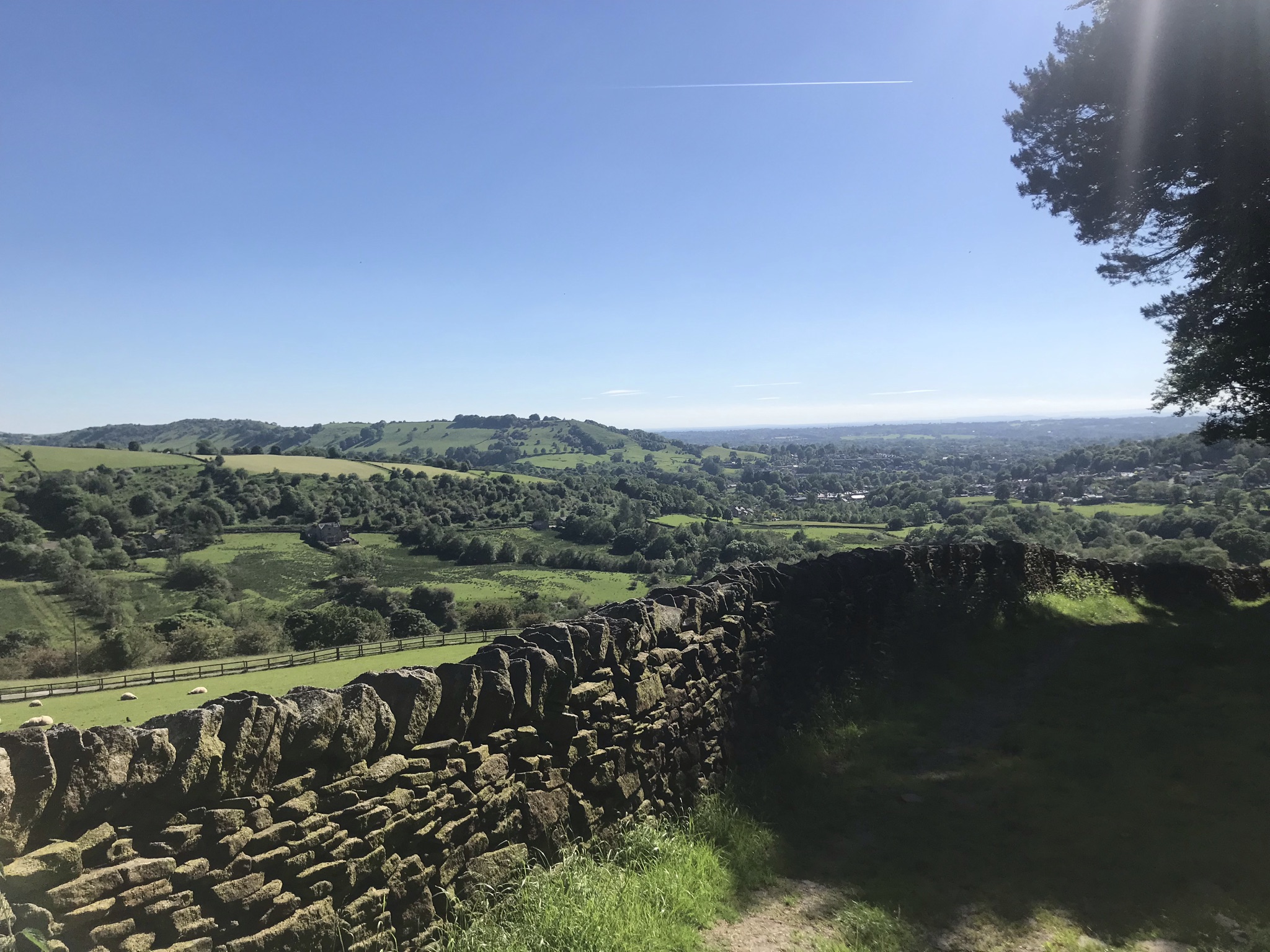
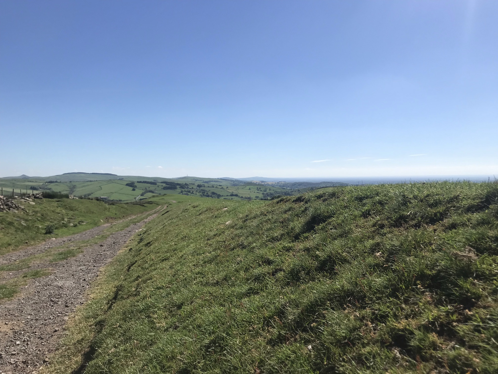
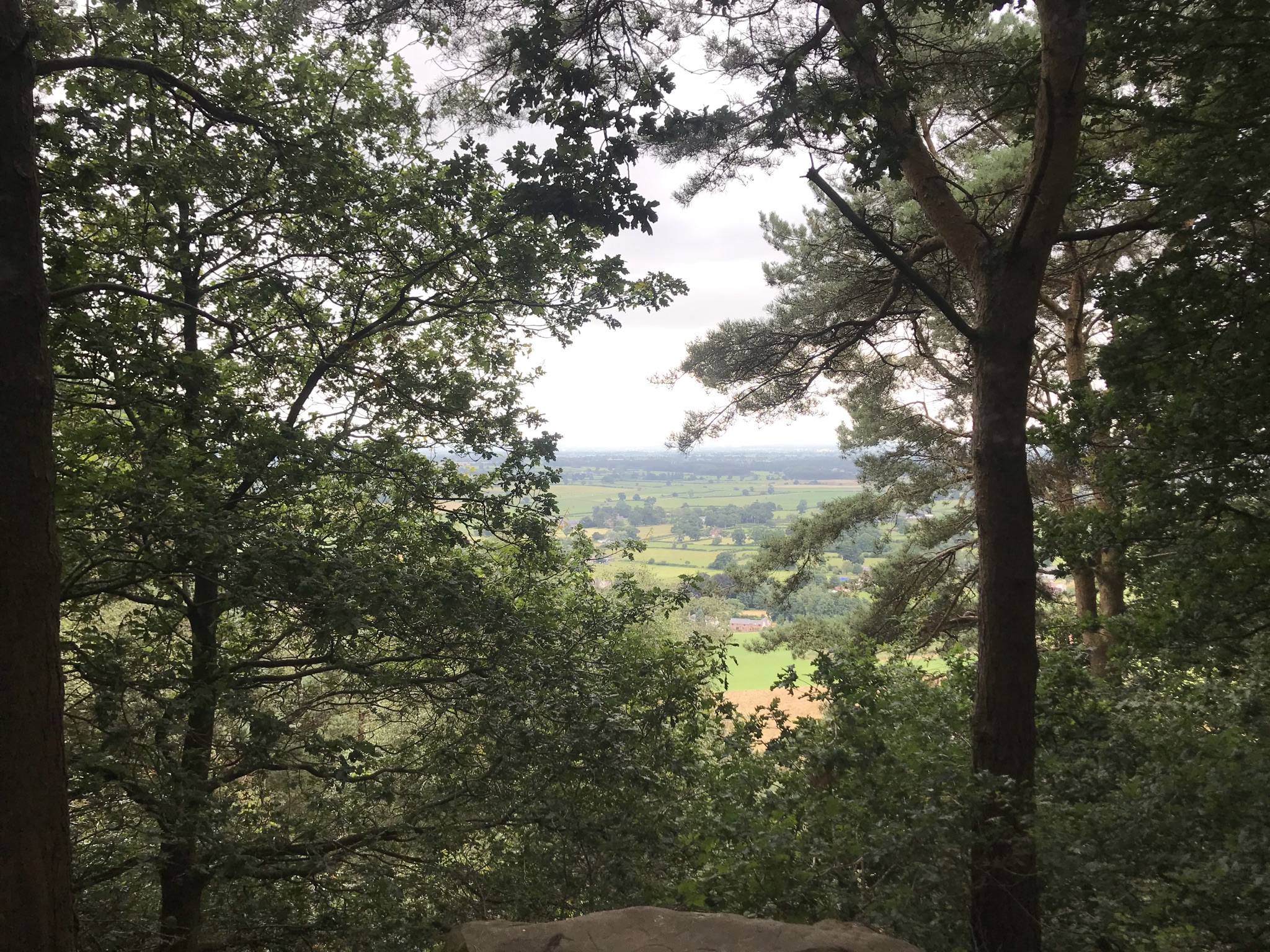
The path descends steeply before quickly turning back uphill to the high point of the walk at Rawhead. The weekend we walked was also the weekend of Carfest and as we sat at the trig point for a snack we could hear the engines revving somewhere below us. Leaving the views across to the Clywds in North Wales the path heads east to Bulkeley Hill and views across the Cheshire plain to the edges of the Peak District. The air was hazy and despite searching it wasn’t possible to see Croker Hill and the distinctive radio tower from walk 24.
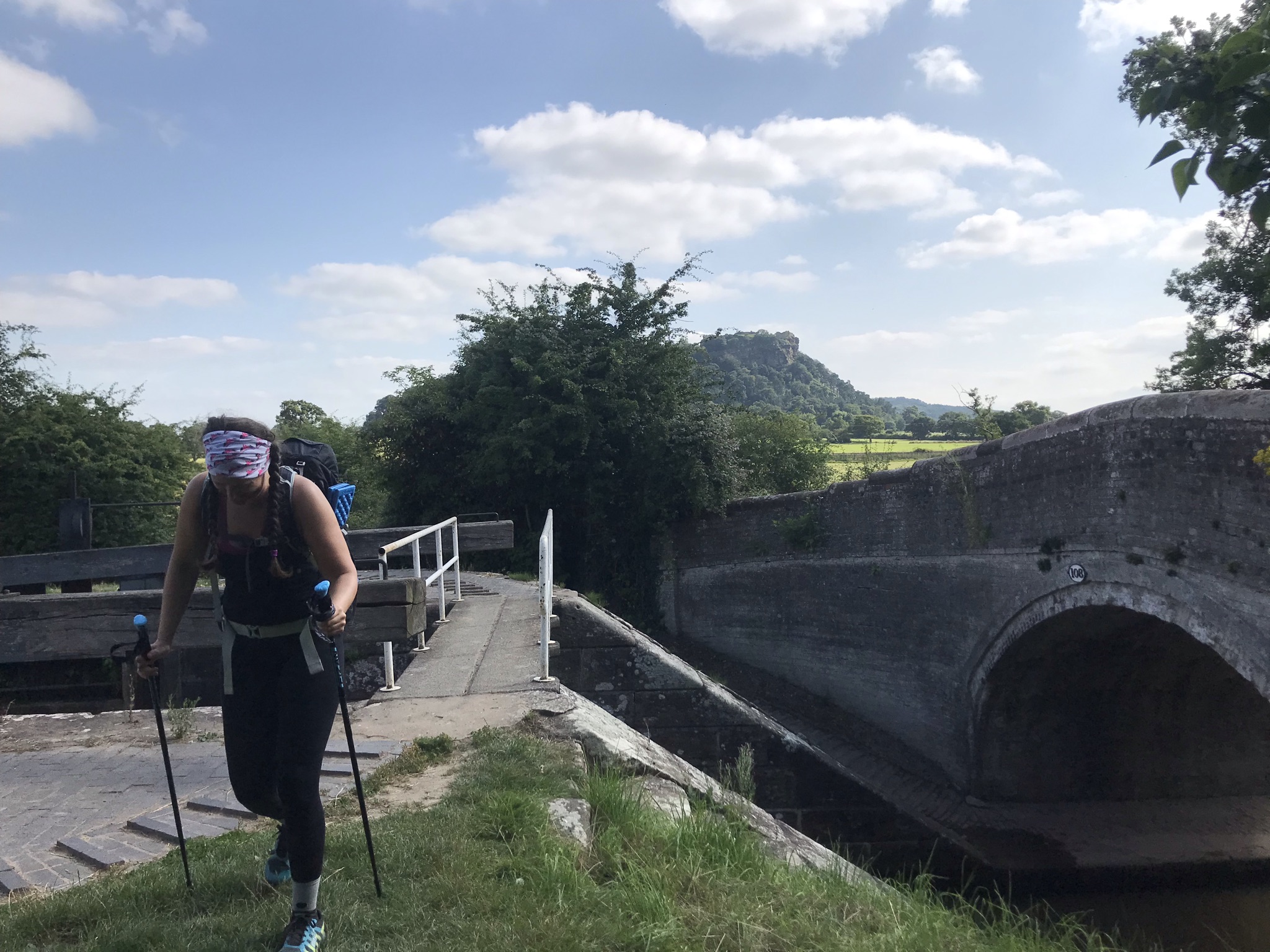
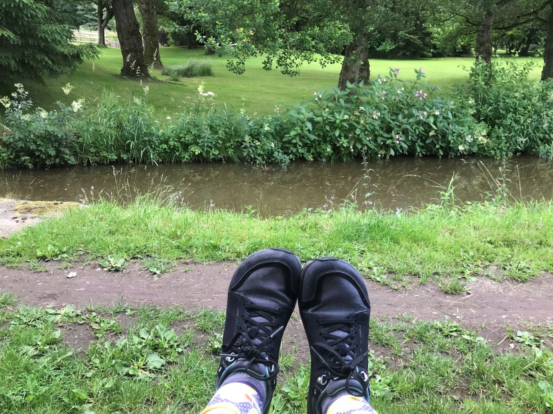
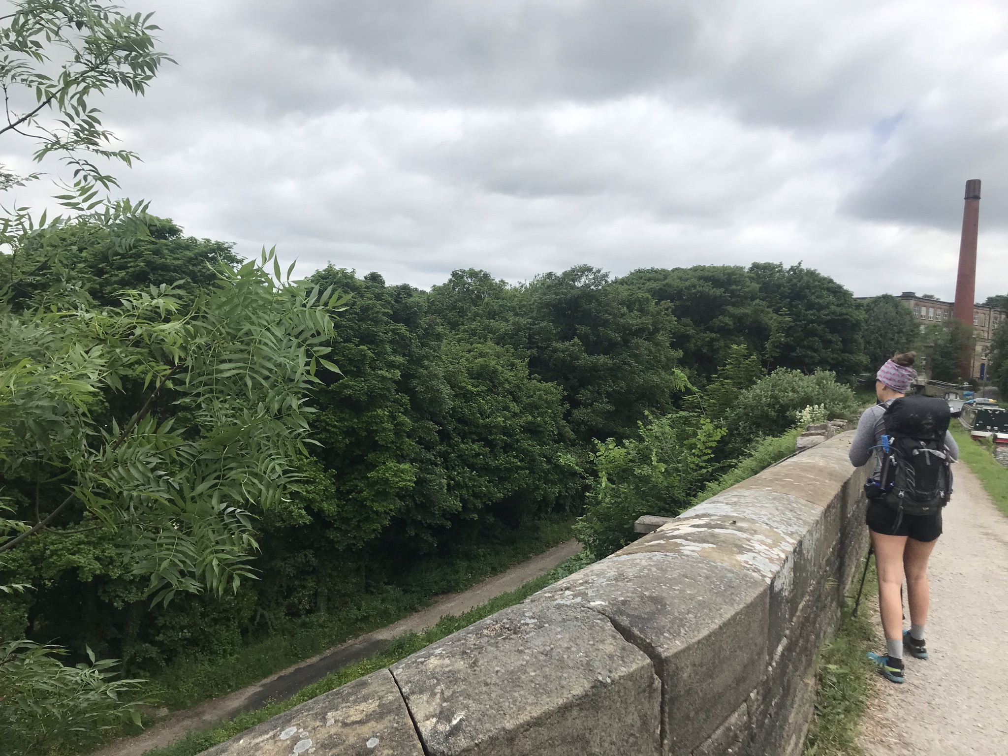
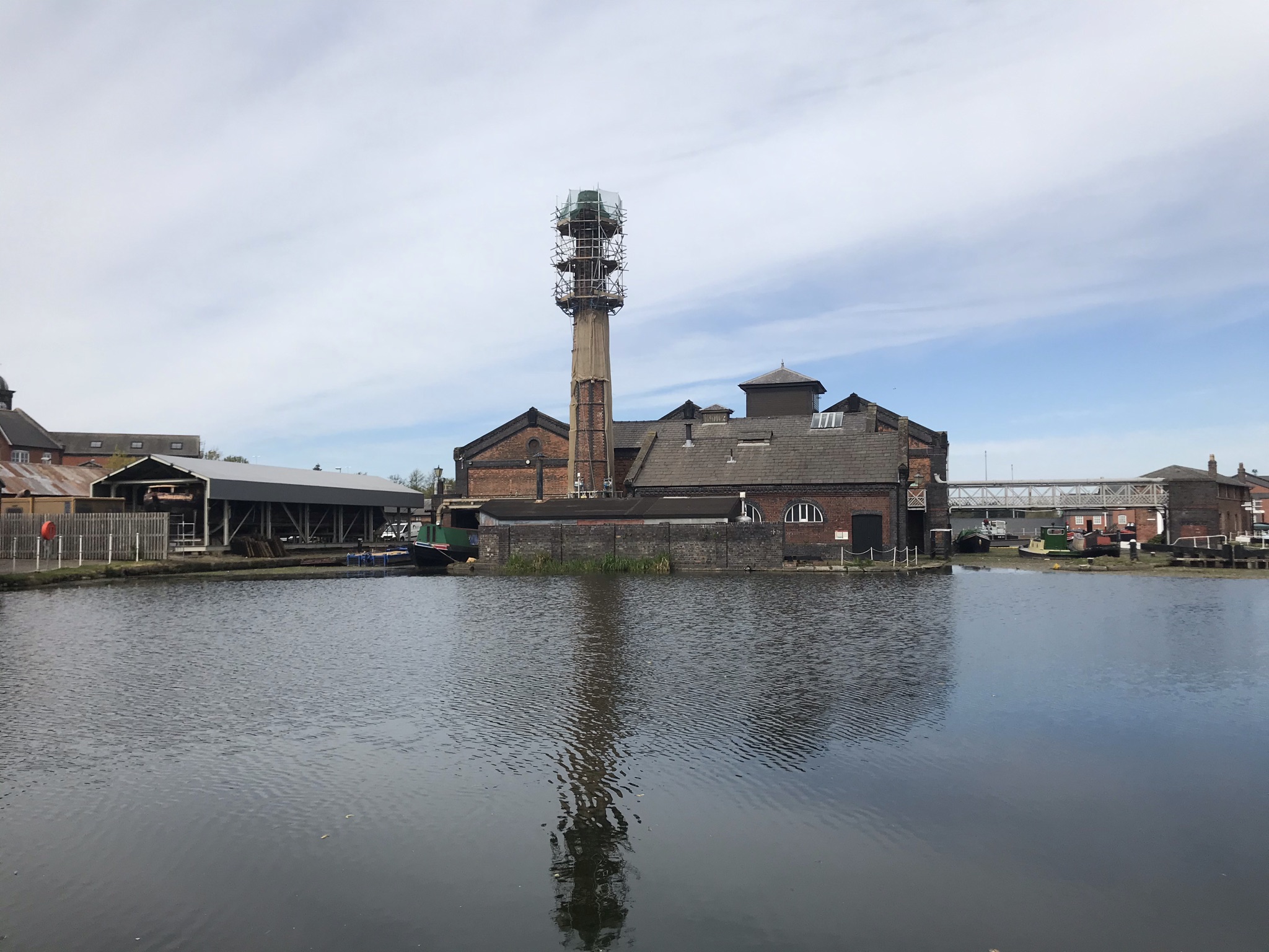
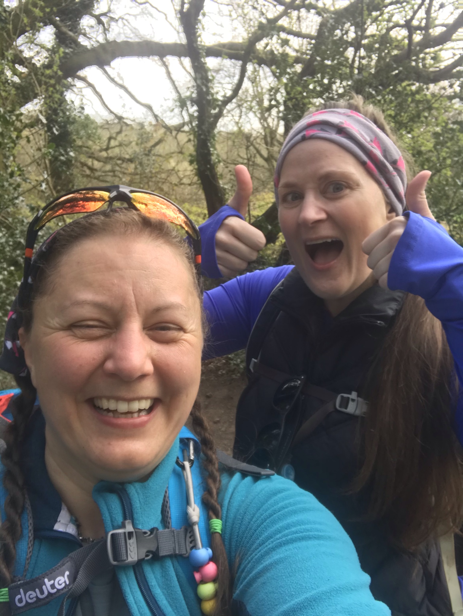
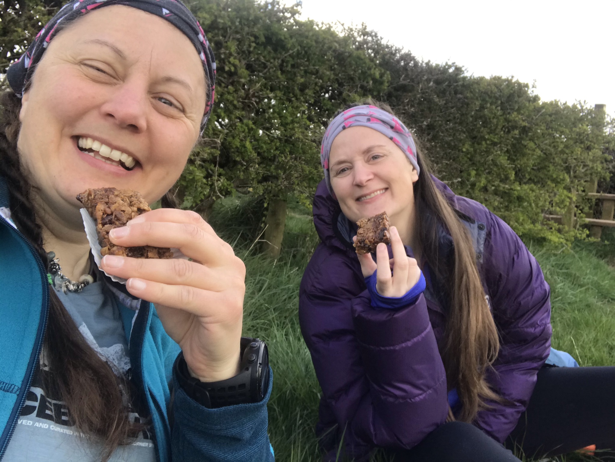
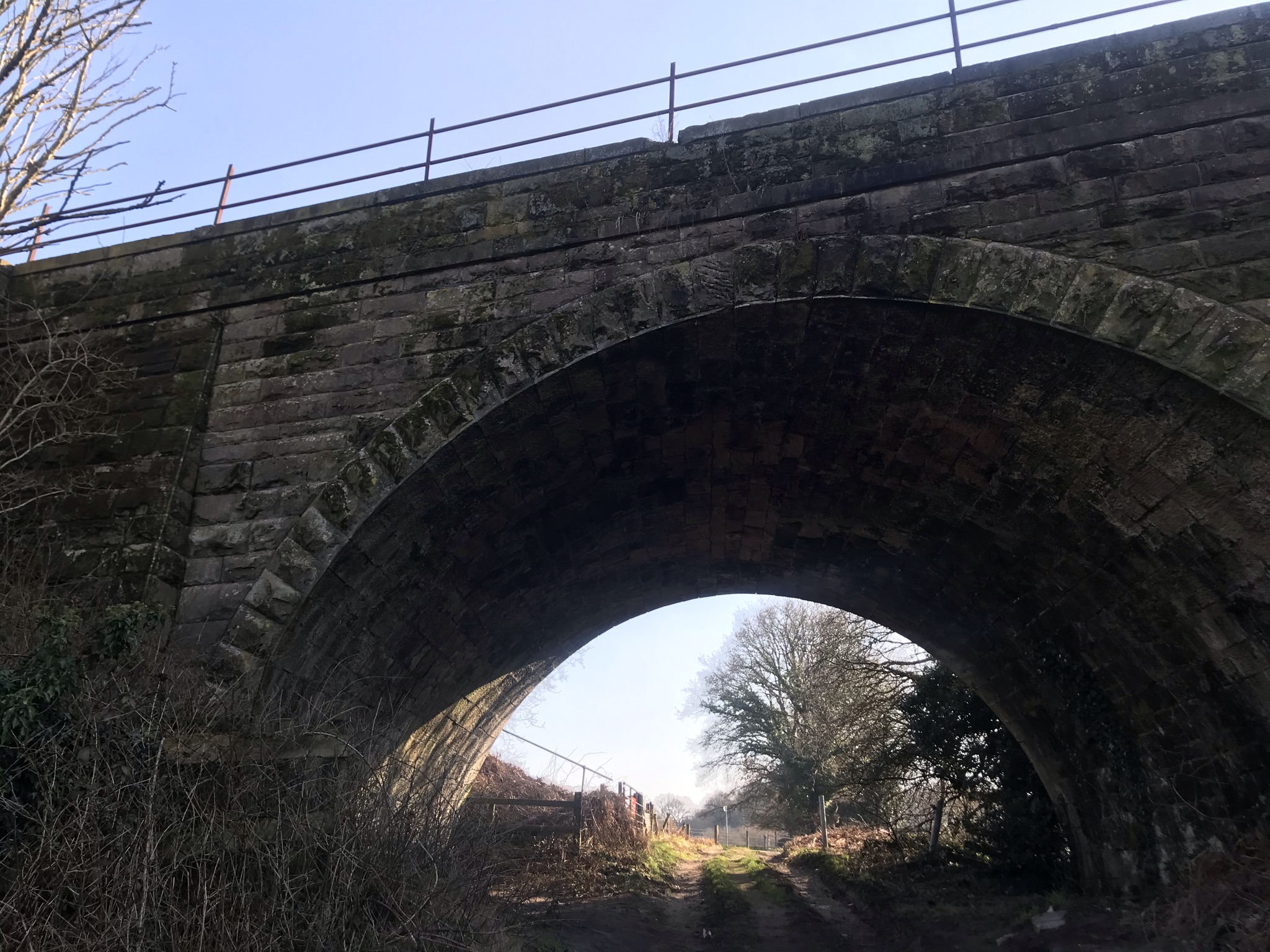
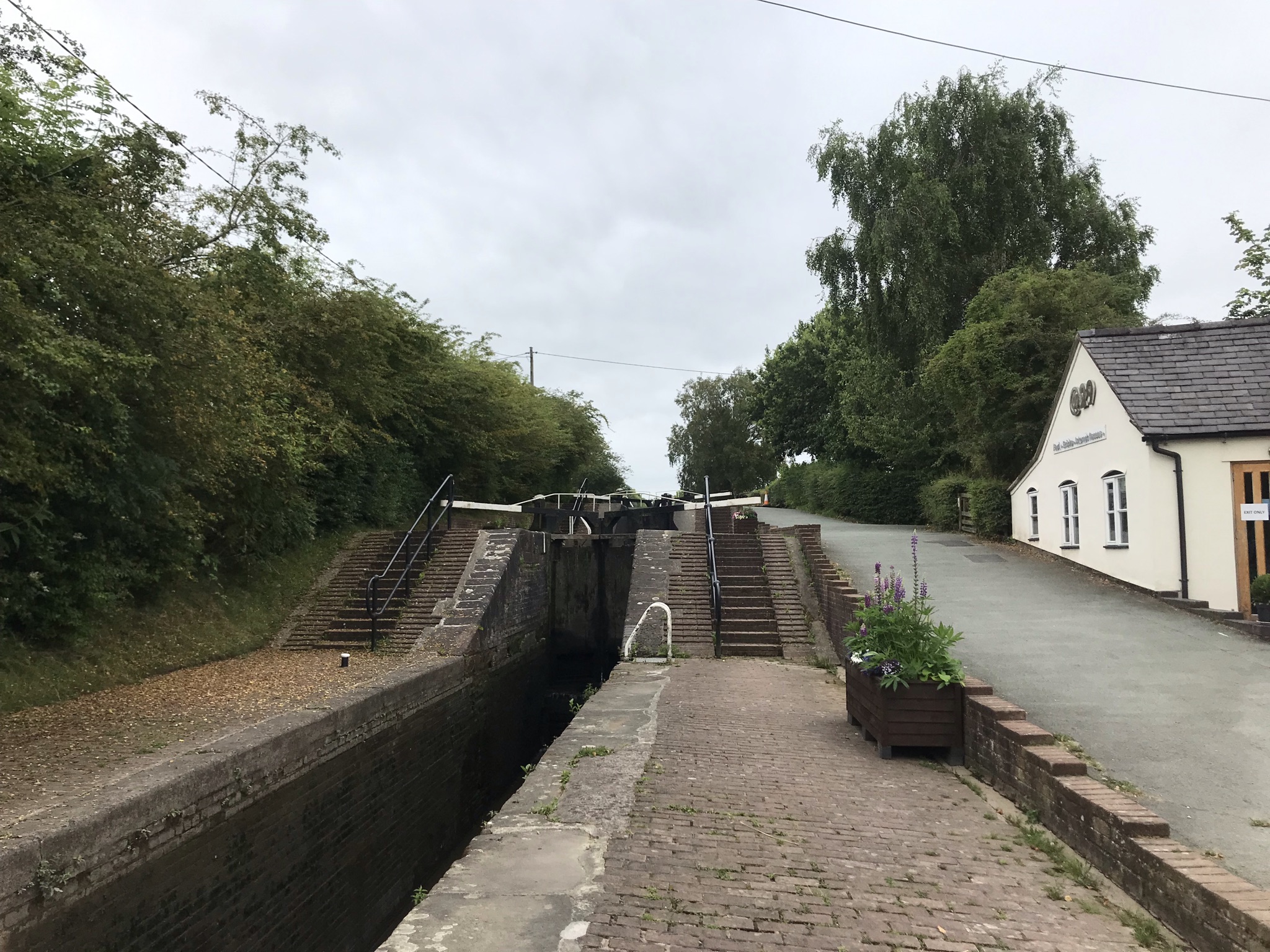
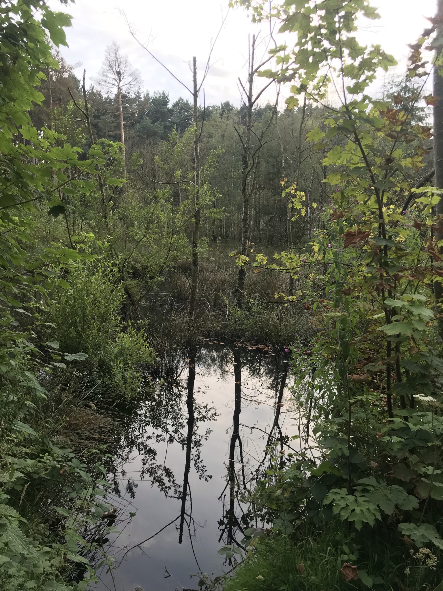
And now a section of steady downhill as the temperature began to rise, though mercifully cooler than the previous weekend that saw temperatures rise to nearly 30C, far too hot for me: there is a reason I picked a cold adventure! Now on familiar paths, we passed Beeston Castle and on to Wharton Locks on the Shropshire Union Canal. Back in August Sarah and I walked this way on our challenge walk of 20 miles (30km), we were pretty broken by the end of that walk and it felt good to have progressed so far with our endurance fitness. We stopped at the lock for another snack and to rest from the heat before setting out again across the open fields.
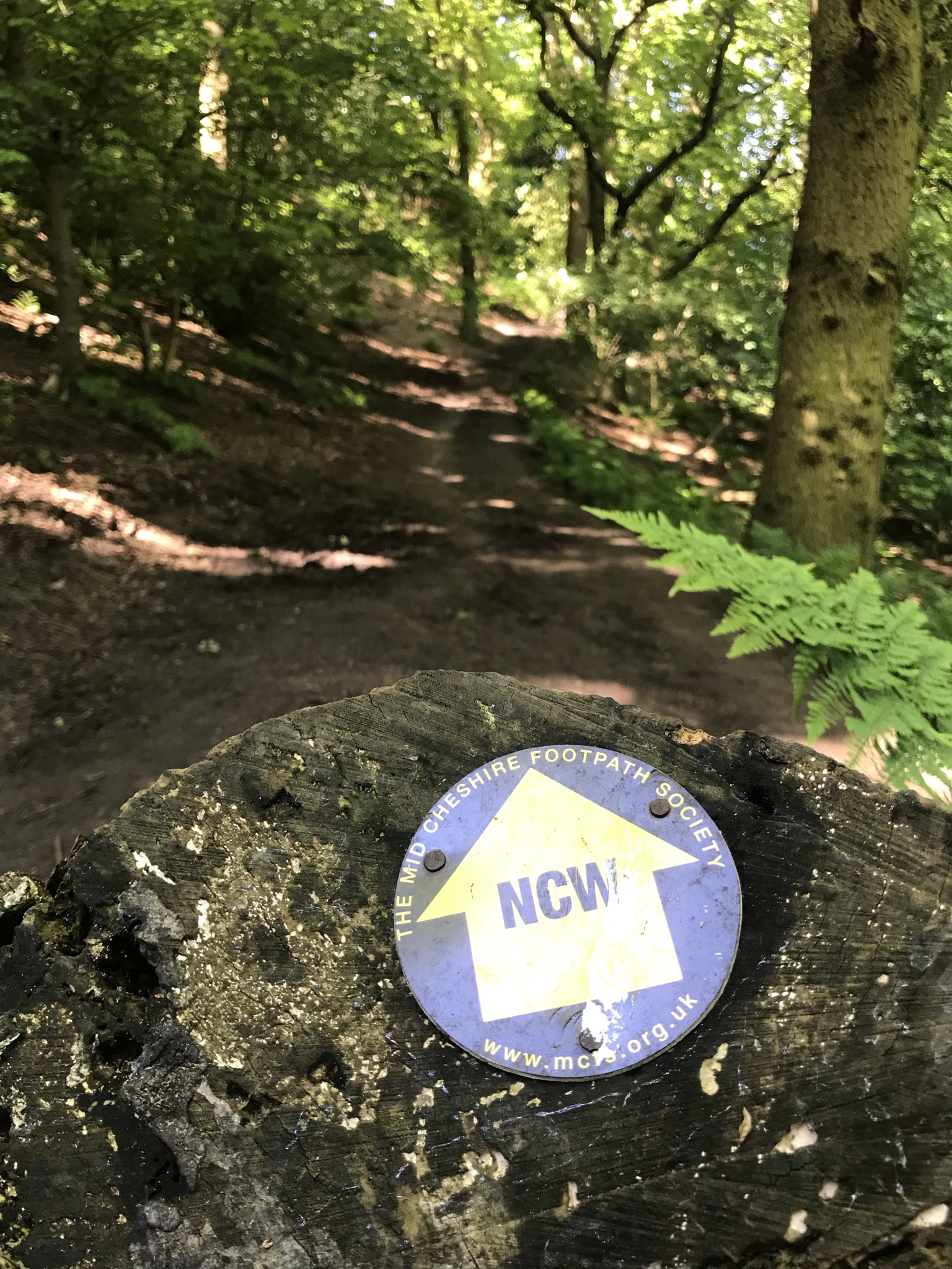
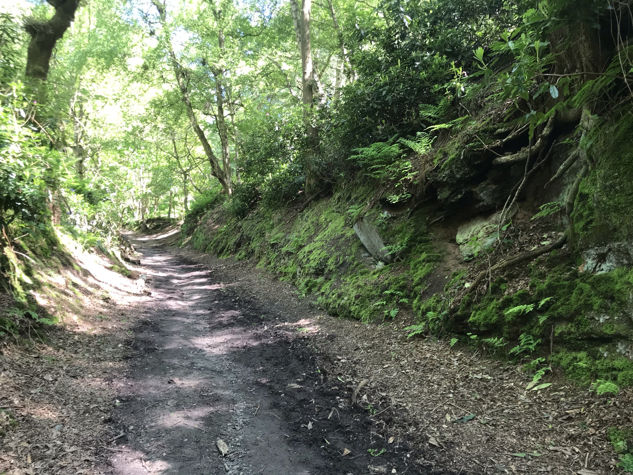
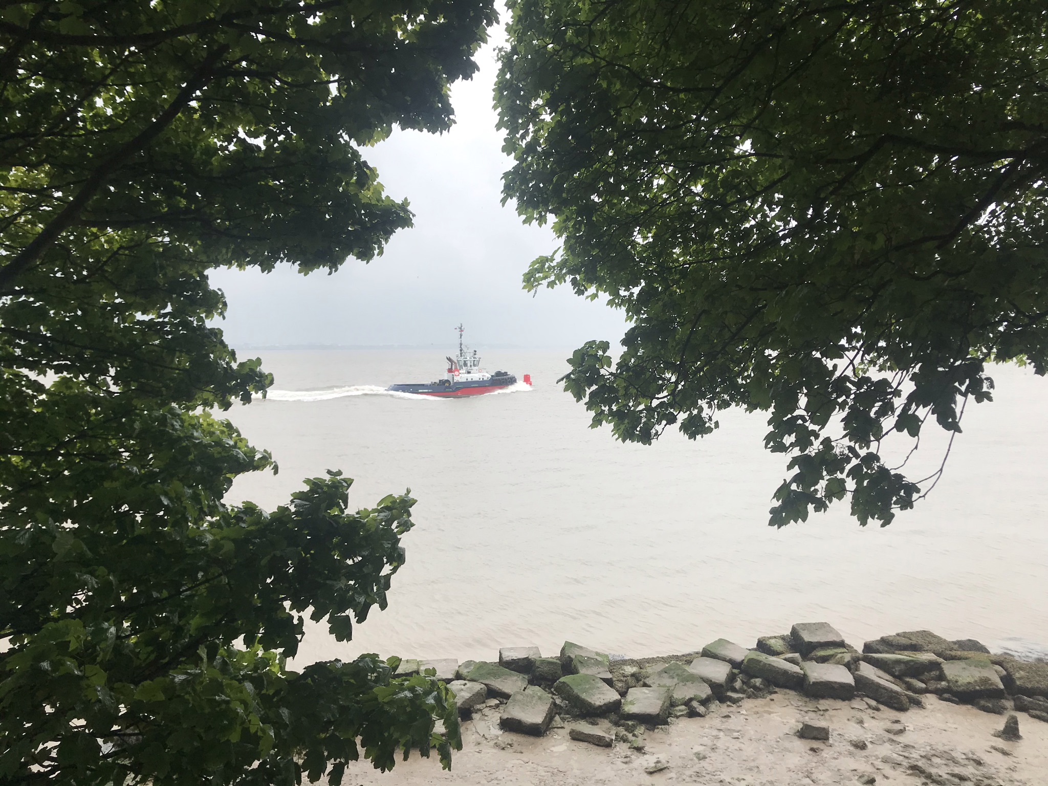
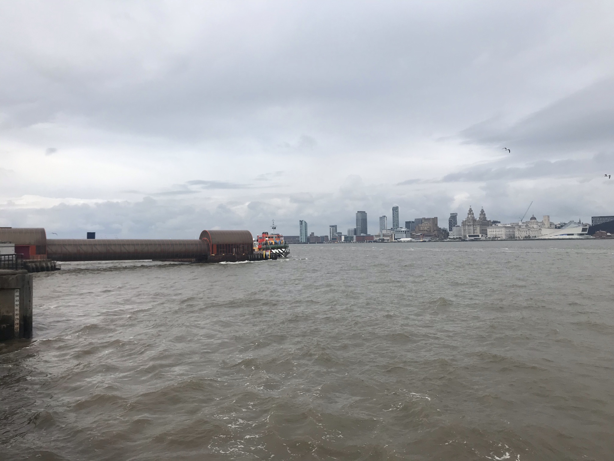
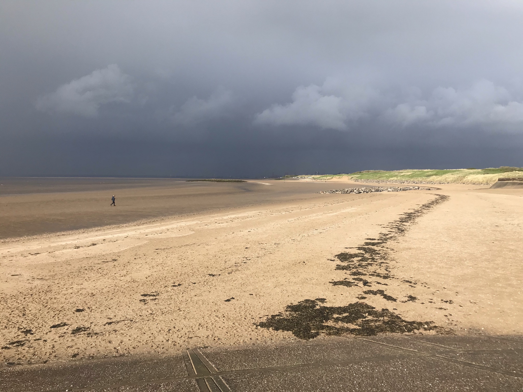
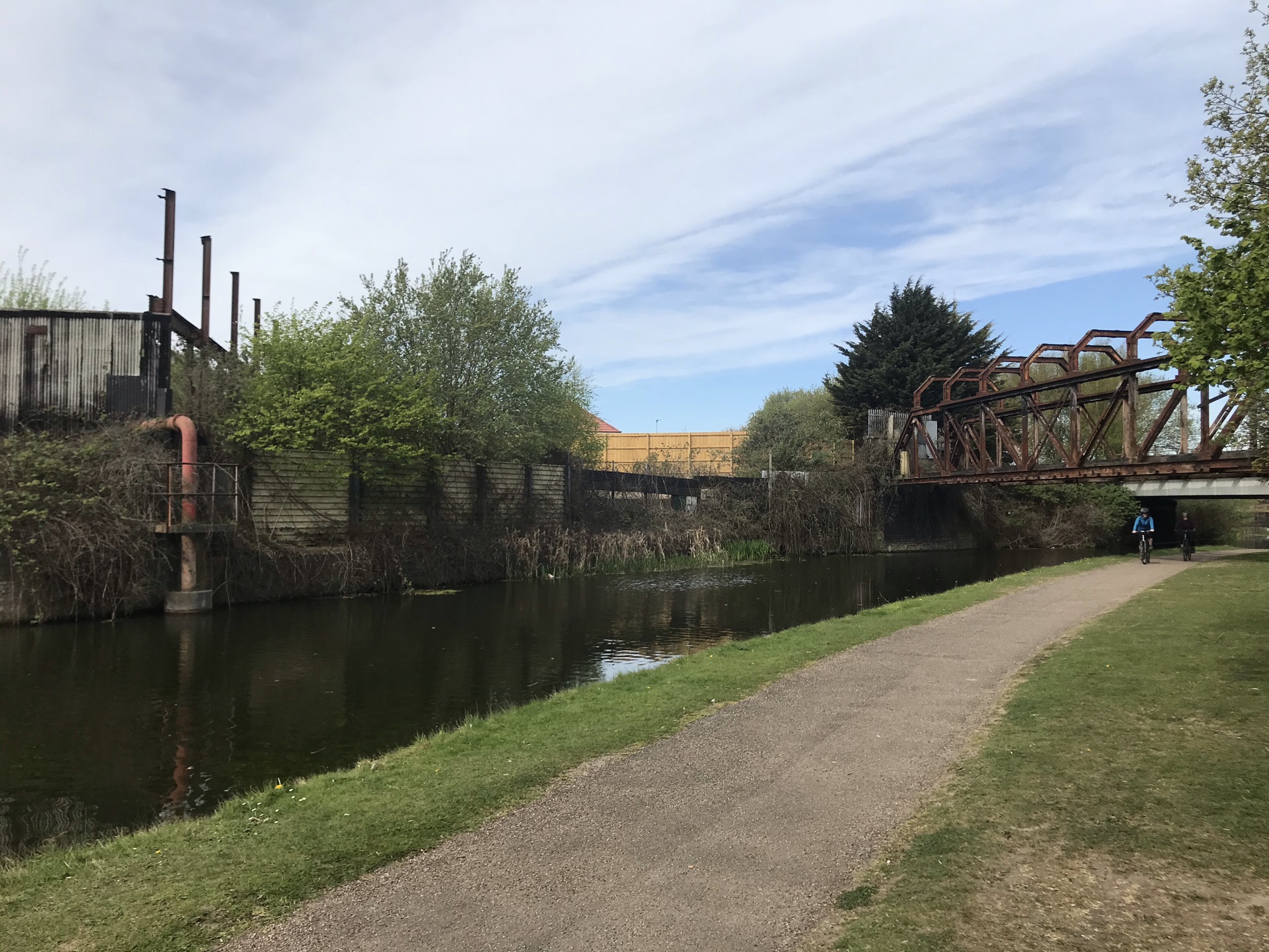
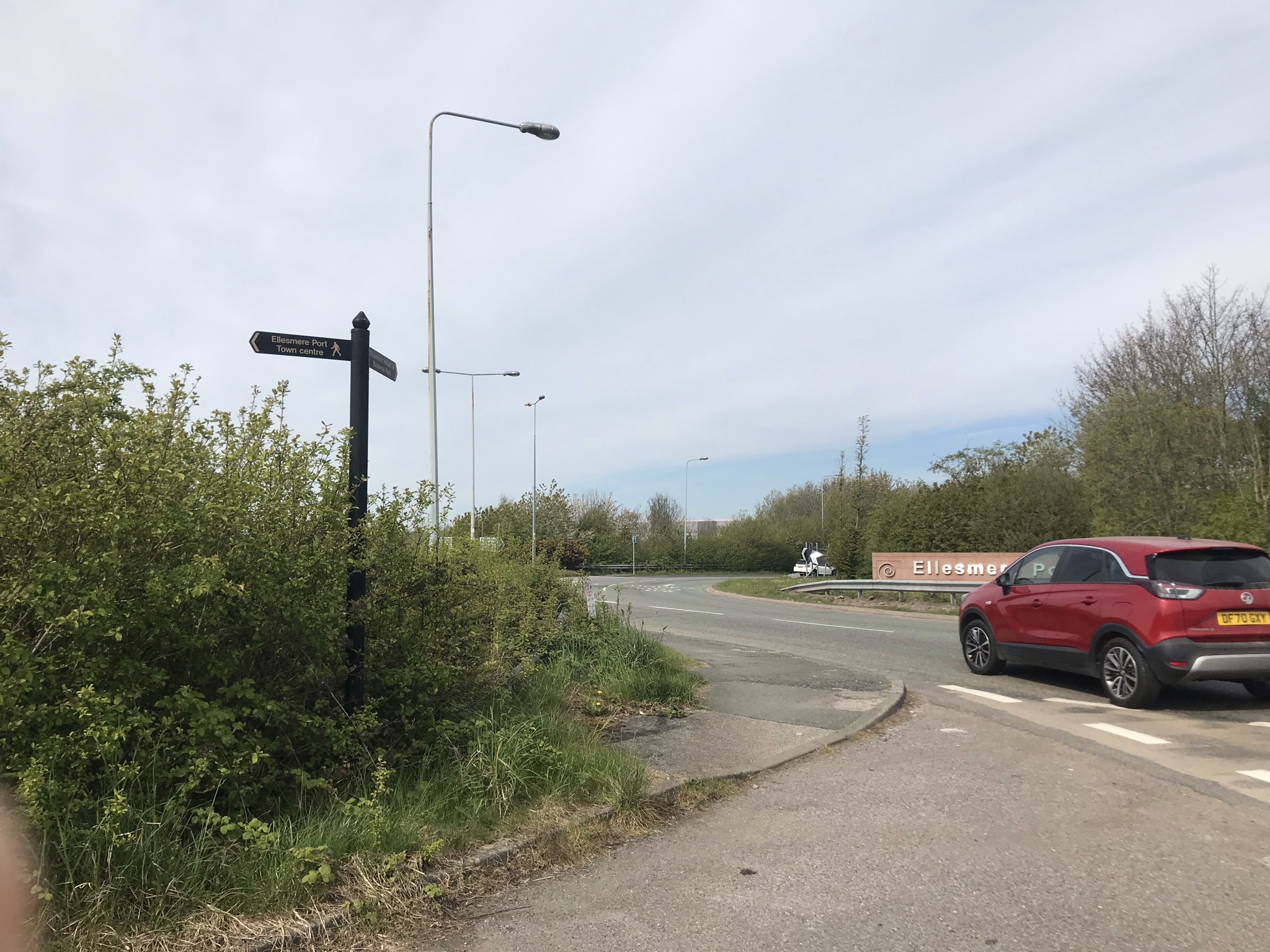
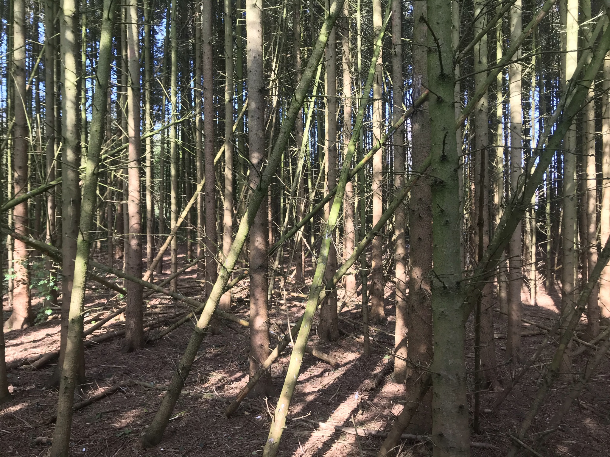
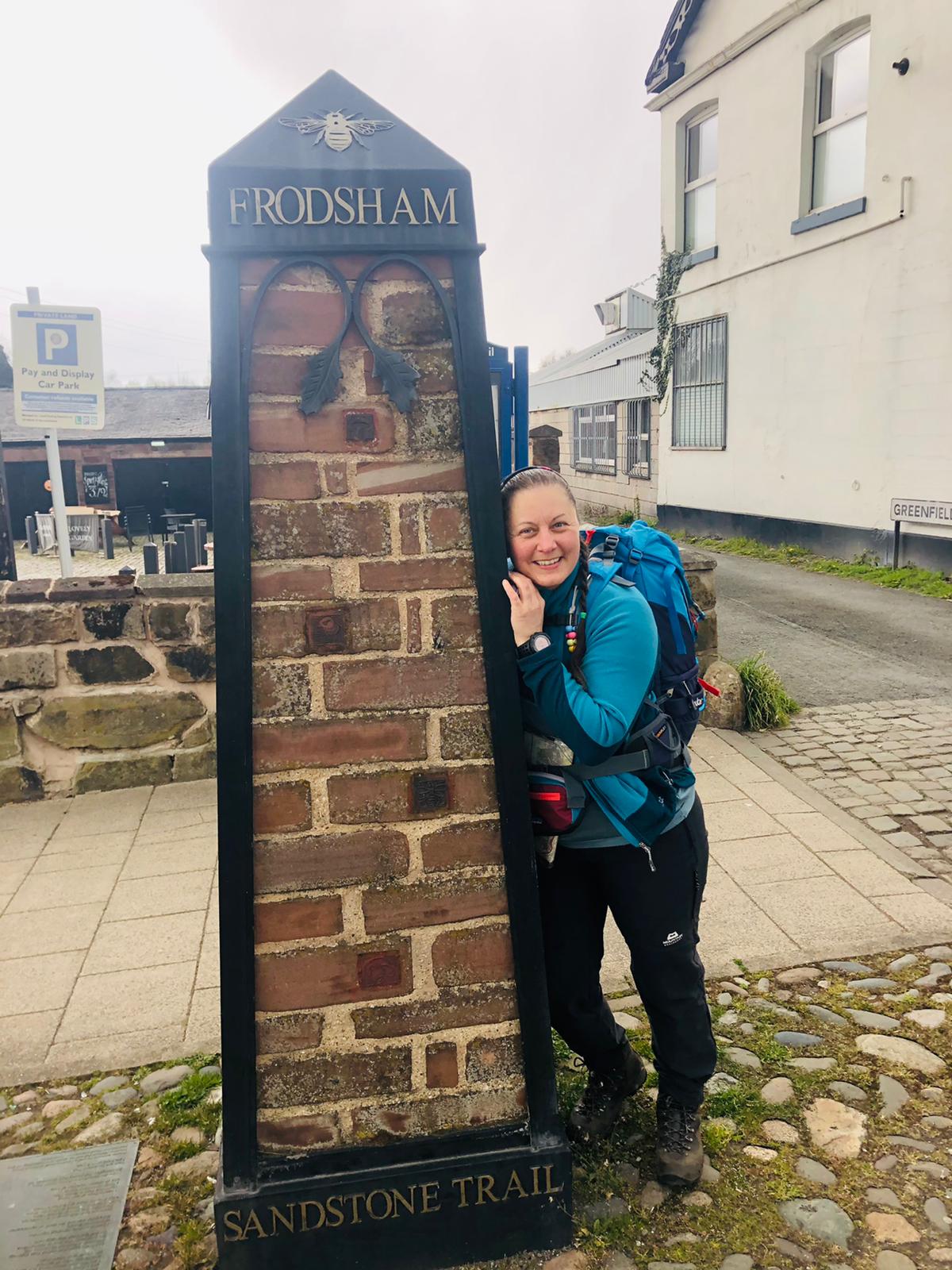
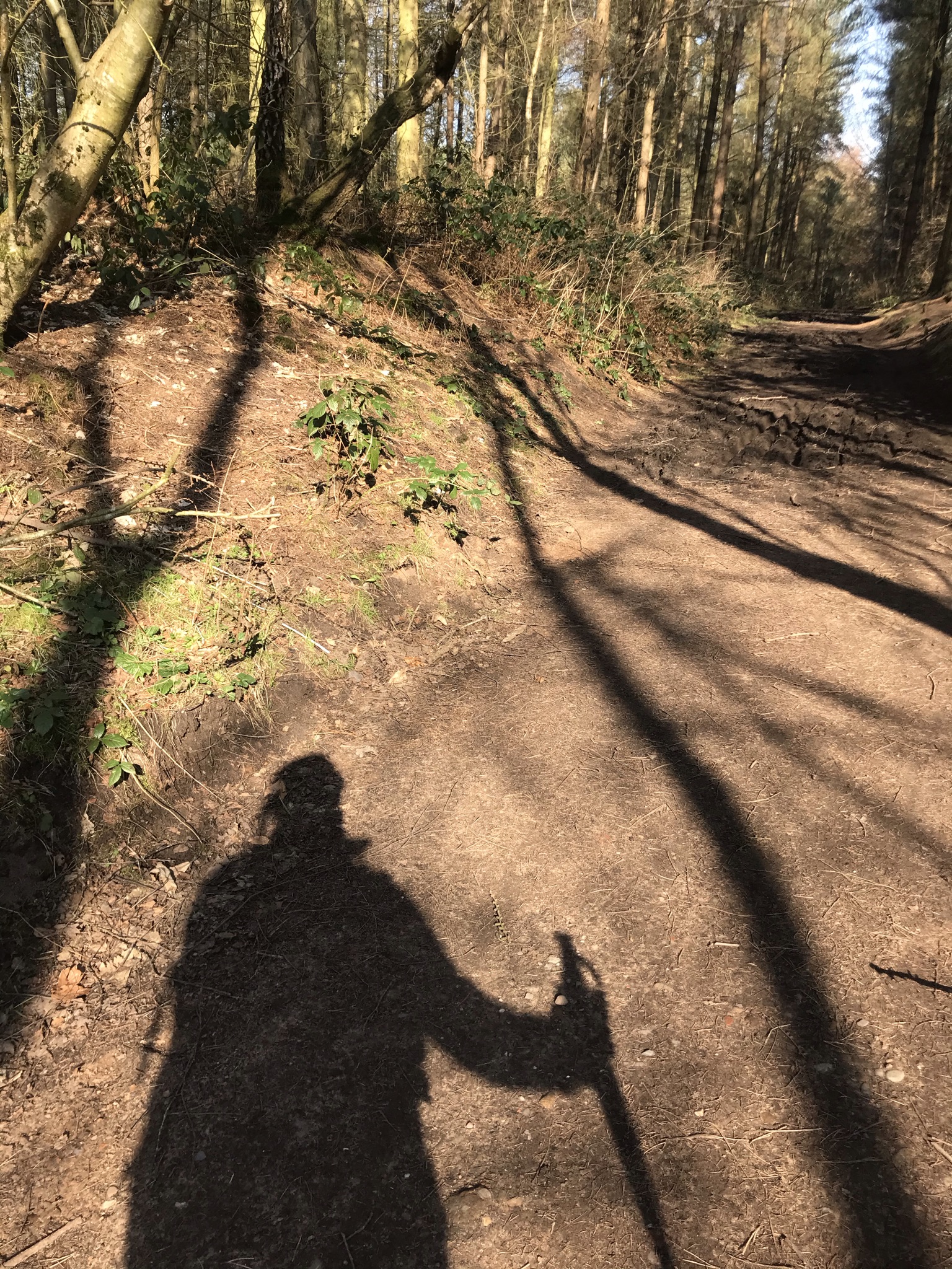
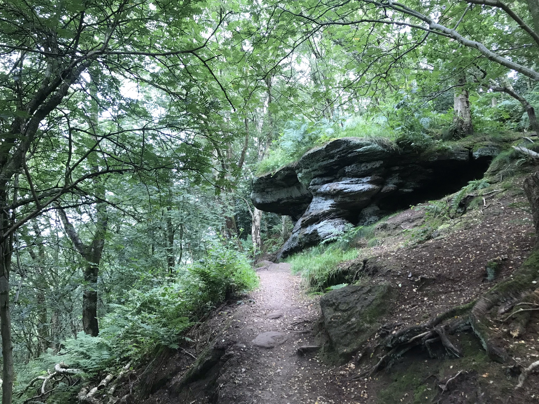
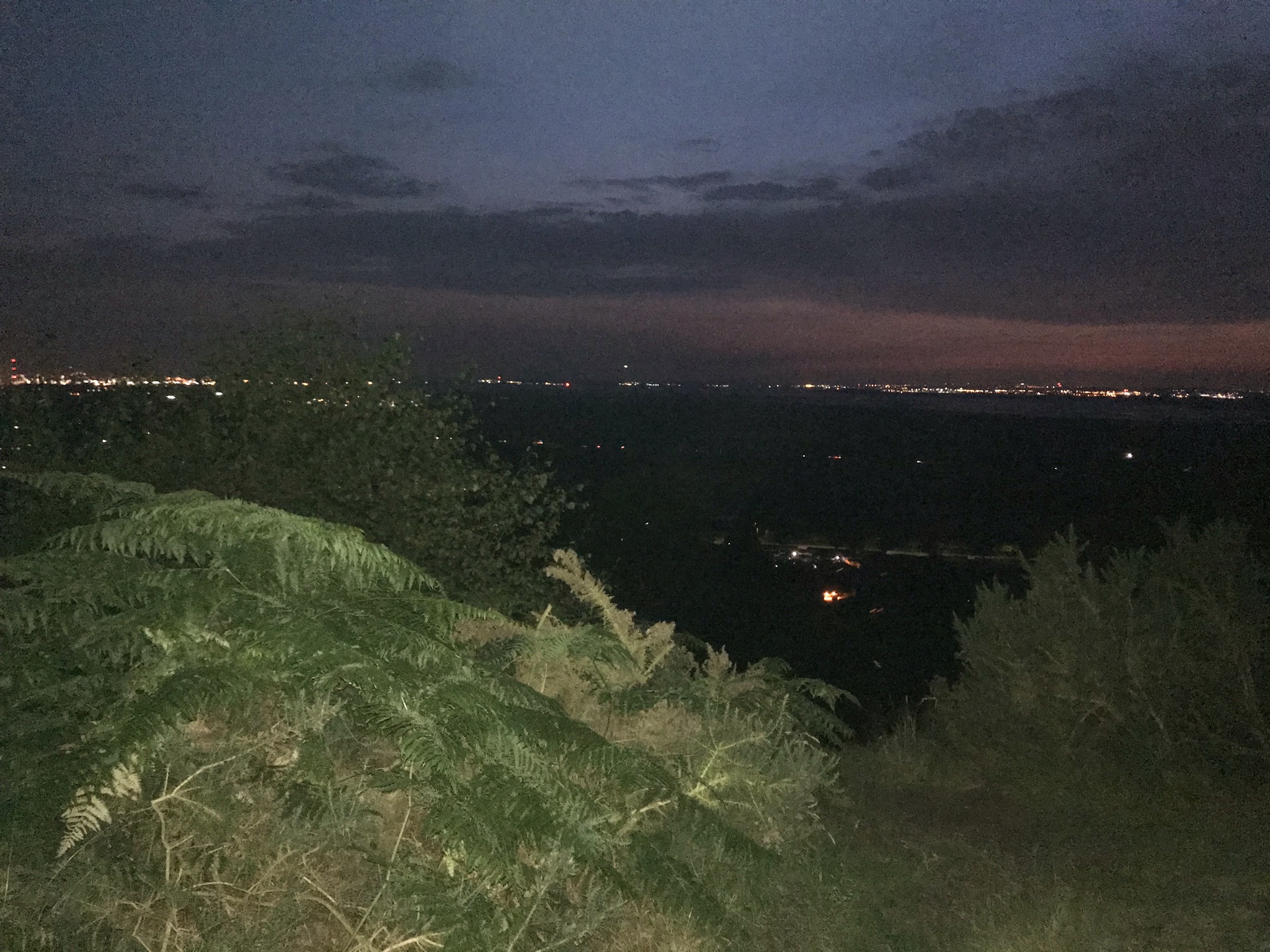
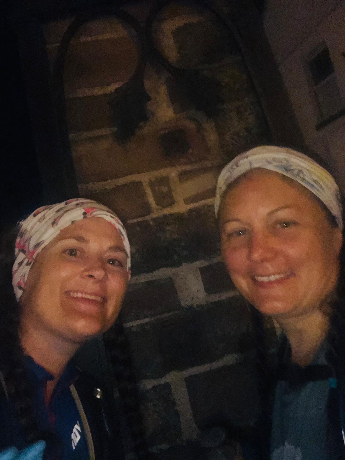
As we reached Gresty’s waste, we ran out of water. With many miles to go and nowhere for a top up before Frodsham on the route, I phoned home for assistance. Another 1.5 litres in the pack and we were good to go. Delamere Forest is my extended back garden, so we were able to pick up a pace on good and familiar paths. I have walked the section of the Sandstone trail to Frodsham from Delamere several times, this was intentional planning as we didn’t need to stop to check the map. Just before the ridgeway, I got out my headtorch. From now the route winds through woodland and with the sun setting the light was fading fast. I like walking in the dark, with my whole world reduced to a patch of light in front of me. Frodsham woods are full of sandstone outcrops, quarries and steep hillsides so great care was needed amongst the tree roots. The sound of a wedding party at the Forest Hills hotel contradicted the winding path through the trees before we popped out into the open and night time views across Wirral. The final winding path dropping out of the woods into Frodsham was welcome and with the pubs bustling with Saturday night drinkers, we hugged the pillar outside the Bear pub that marks the end of the trail. 15 hours 40 minutes and, though tired, we felt pleasantly strong with only a few minor complaints from weary feet and knees.
Video of the walk HERE
The route is available on the Ordnance Survey website HERE
| Cheshire Challenge distance* | 39.9km |
| Paths walked | Sandstone Trail |
| Total distance | 53.8km |
| Total ascent | 1090m |
| OS map | Explorer 257, 267 |
| Date walked | July 2021 |
| Time taken | 15 hours 40 mins |
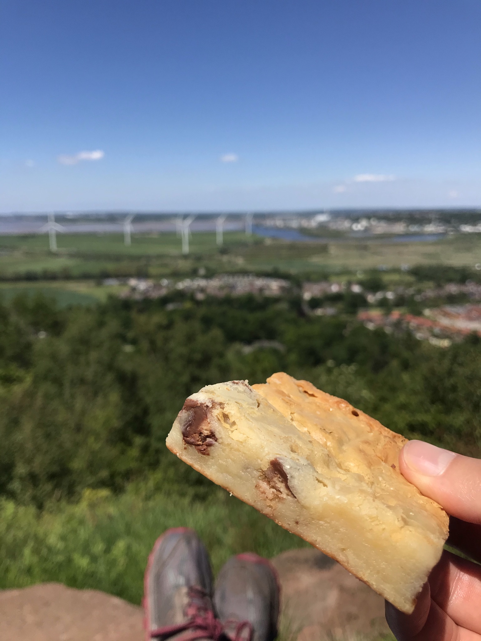
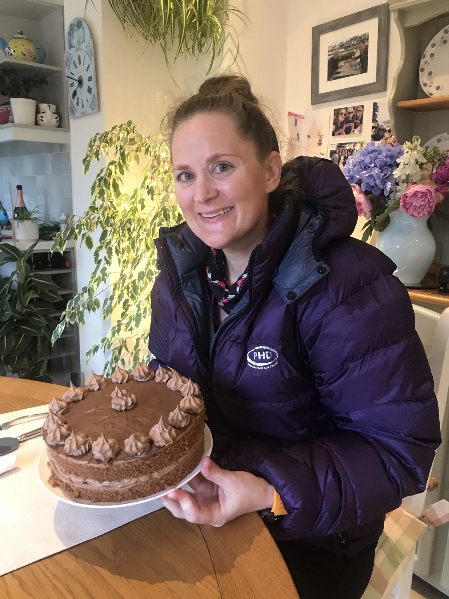
| Cake | Sponge – but we were too tired and forgot! |
| Dance pose | Showtime |
| Total Cheshire Challenge distance completed: | 482km (1500km total) |
*not including previously logged walks on the Sandstone Trail