

A week after the Shropshire Union Canal and North Cheshire Way (walk 19), this was another 30km (by the time you add in some faffing) and ticked of 20% of the challenge completed. It’s also the third completed path and the second walk that completed a whole Cheshire Challenge route in one go, after the Baker Way. When I drew it out on the big map it seemed huge and daunting but now 30km feels like a ‘good long walk’. Progress!
We met in the carpark that serves the pub and golf course as well as the park and headed straight out. I was sloppier than usual in my pre-walk checks and didn’t check my shoes were laced well: my feet suffered later from moving too much inside my shoes and I got my first hot spot on my heel for years. Lesson learnt. The weather was sunny and bright for the most part but in the shade and breeze it was sharply cool which required a few layers change over the day.
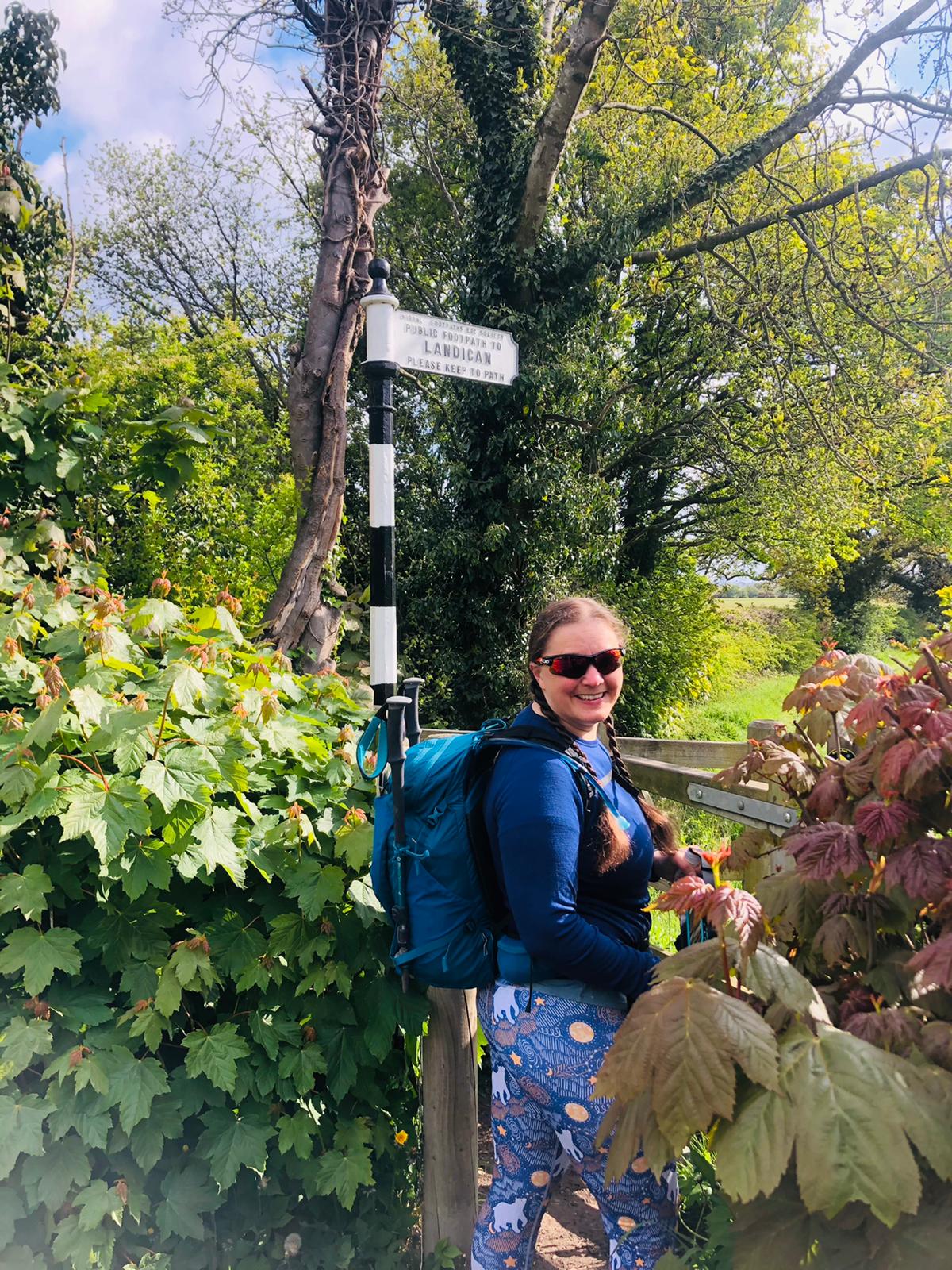

The walk is mostly well waymarked though a few navigation points were a little tricky to find, the path is not named on the Ordnance Survey maps so this was a walk to have the route marked out on the app or have the guide to hand. The guide gives a number of alternative routes, the version I opted for seemed the right mix of distance and good paths.
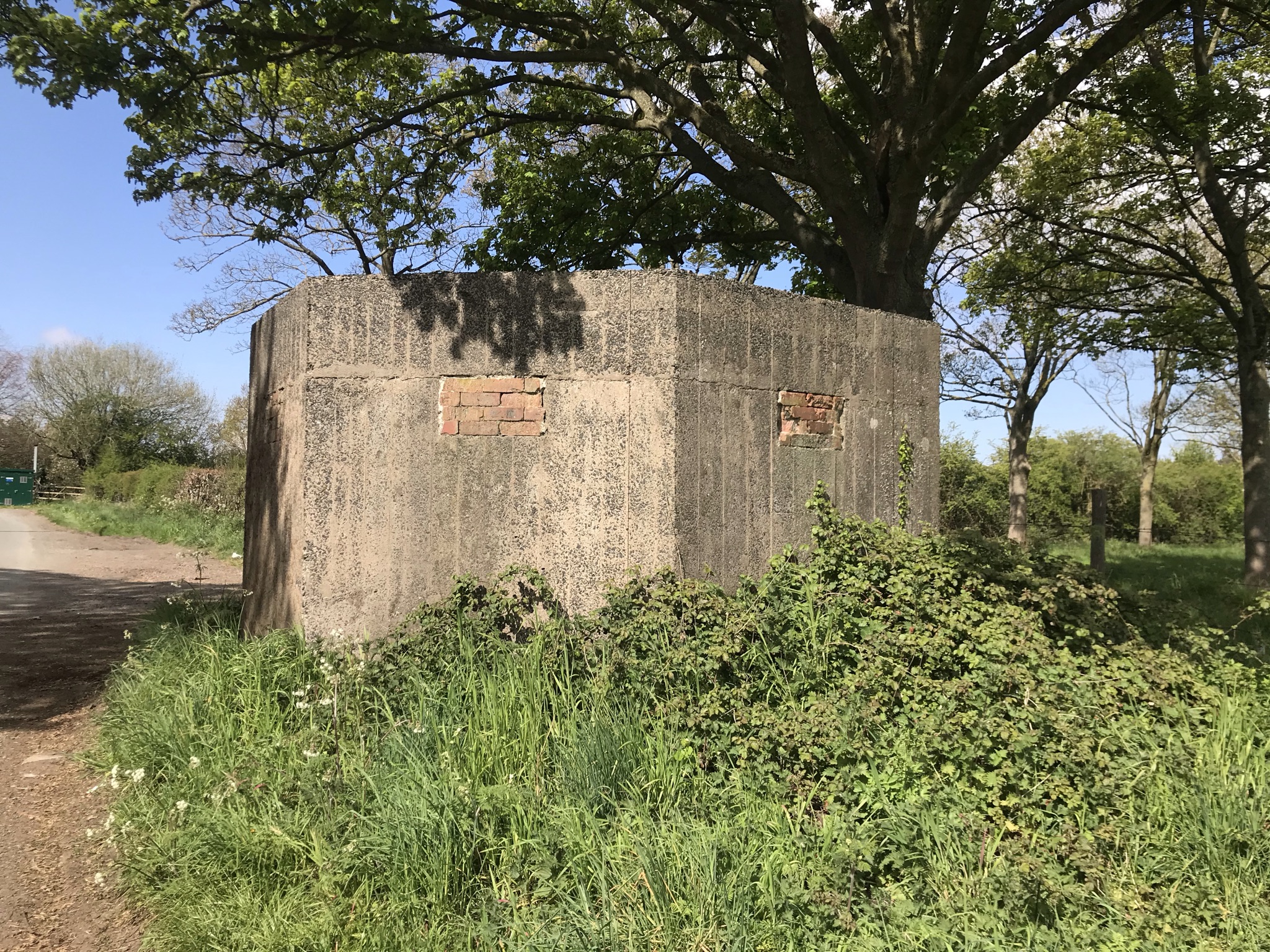
The ground was dried rock hard in the fields and made for tricky terrain where the cows had churned up previously deep mud, but the need to concentrate on our feet didn’t limit the conversation and once again I think we talked almost the whole way round. This was a rural contrast to walk 19, the most urban it got was crossing the M53 twice and through the middle of Heswall but neither could be described as industrial. At Brimstage there is the slightly odd sight of a WW2 pill box, there are quite a large number of them around Wirral; with the Dee and Mersey estuaries either side it was seen as a possible invasion site. This one is bricked up though a few had been broken so carefully (and without dropping our phones) we used the light to peer in and were rewarded with nothing more exciting than litter.
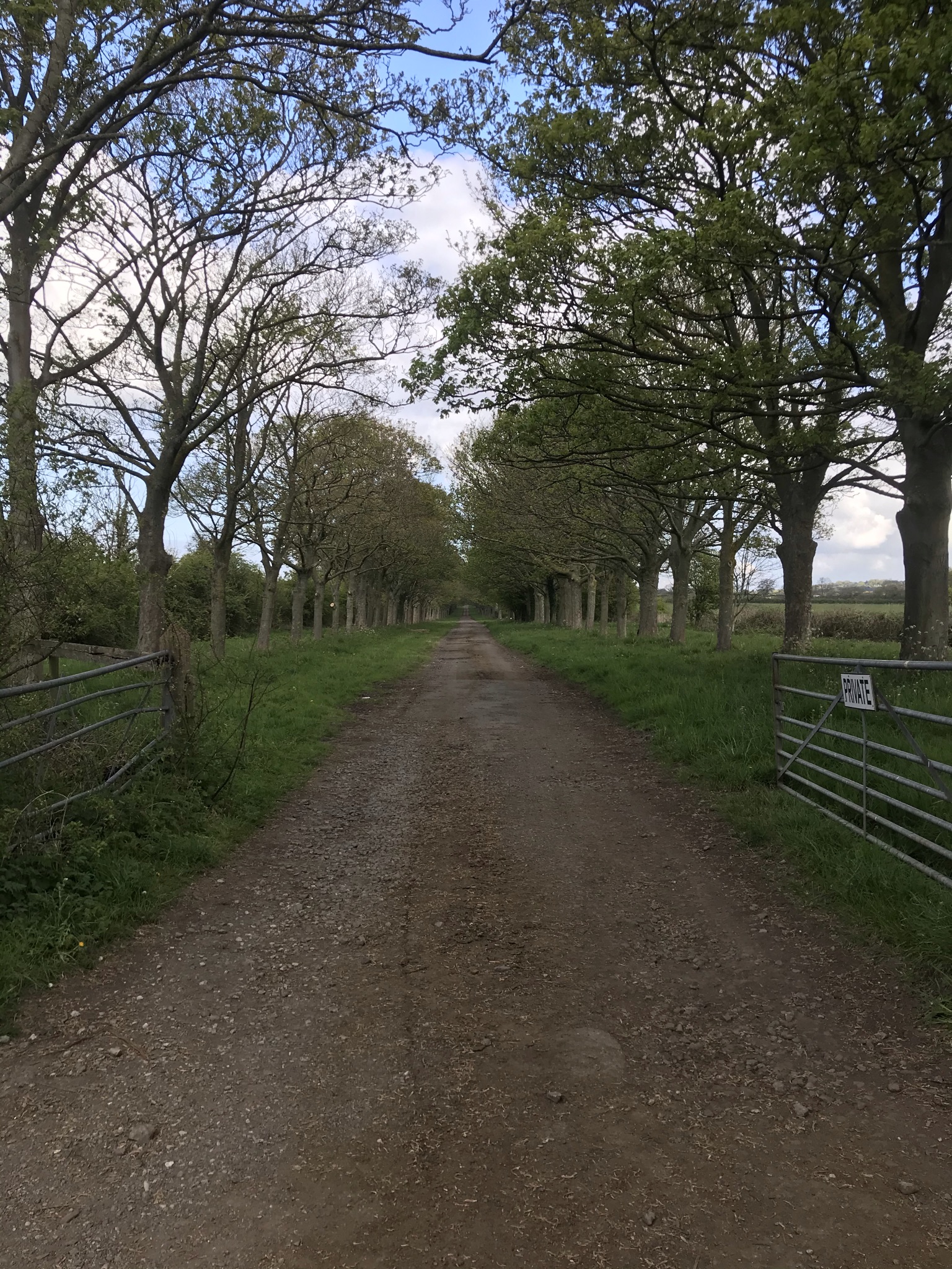
A different mark upon the countryside is the wide, straight, tree-lined ‘roads’ that cross each other and even form a ‘roundabout’ that run from Thornton Hough and Thornton Manor. I think (though a cursory search on t’internet was inconclusive) these are where Lord Leverhulme started to work on a second Port Sunlight style village. Most are not public rights of way so access is not permitted but it was fascinating crossing them on the footpaths and wondering what it would have been like if the project was ever finished.
Once through the very chocolate-box pretty Thornton Hough, the route follows a permissive path. Its not marked on the map – some permissive paths are an orange dashed line – so we marched purposefully across the sports field full of football players hoping we weren’t going to have to do a walk-of-shame back. Nope, there it was clearly marked and off we went. We stopped for a snack by in a small patch of heath surrounded by bright yellow gorse. After last week’s high-sugar sweet experiment we had another go and concluded that the pineapple ones were nicer than the strawberry: next walk, watermelon flavour and all in the name of research. Gently buzzing we carried on to meet the Wirral Way where the two paths join for a time, then turned down to the sea wall at Parkgate. With the blood sugar dropping we sat and ate ice cream dangling our feet over the wall. The salt marsh has reclaimed the estuary here, and the water could not be seen beyond the grass and rushes which were filled with birdlife. The walk carries along the wall for a couple of kilometres before pulling up hill by a redundant boat launch to the town of Heswall.


The route weaves through the town and though care is needed not to miss the turns it was pretty easy, though this was the steepest climbs of the walk gaining 90 metres in a couple of kilometres.
After Heswall, it was back to the fields and woodland with a bit of a stretch on roadside pavements all the way back, with the last kilometre retracing our steps, only this time with disinterested cows for company.
20% finished is a great mental hurdle. Now, will I get to 50% by the end of the year?
Video of the walk HERE
The route is available on the Ordnance Survey website HERE
| Cheshire Challenge distance | 29 km |
| Paths walked | Arrowe Park to Parkgate Circular Walk |
| Total distance | 29km |
| Total ascent | 275m |
| OS map | OS Landranger 266 |
| Date walked | May 2021 |
| Time taken | 8 hours |
| Cake | Millionaire’s shortbread |
| Dance post | More jazz moves |
| Total Cheshire Challenge distance completed | 317km (1500km total) |

1 thought on “Cheshire Challenge walk 20 – Arrowe Park to Parkgate Circular”