Clear blue sky above a stony track heading gently down hill between soft grassy banks. Hill can be seen on the horizon
Cheshire Challenge, Walk

Cheshire Challenge walk 23 – Cheshire Ring Canal Walk, North Cheshire Way and Gritstone Trail

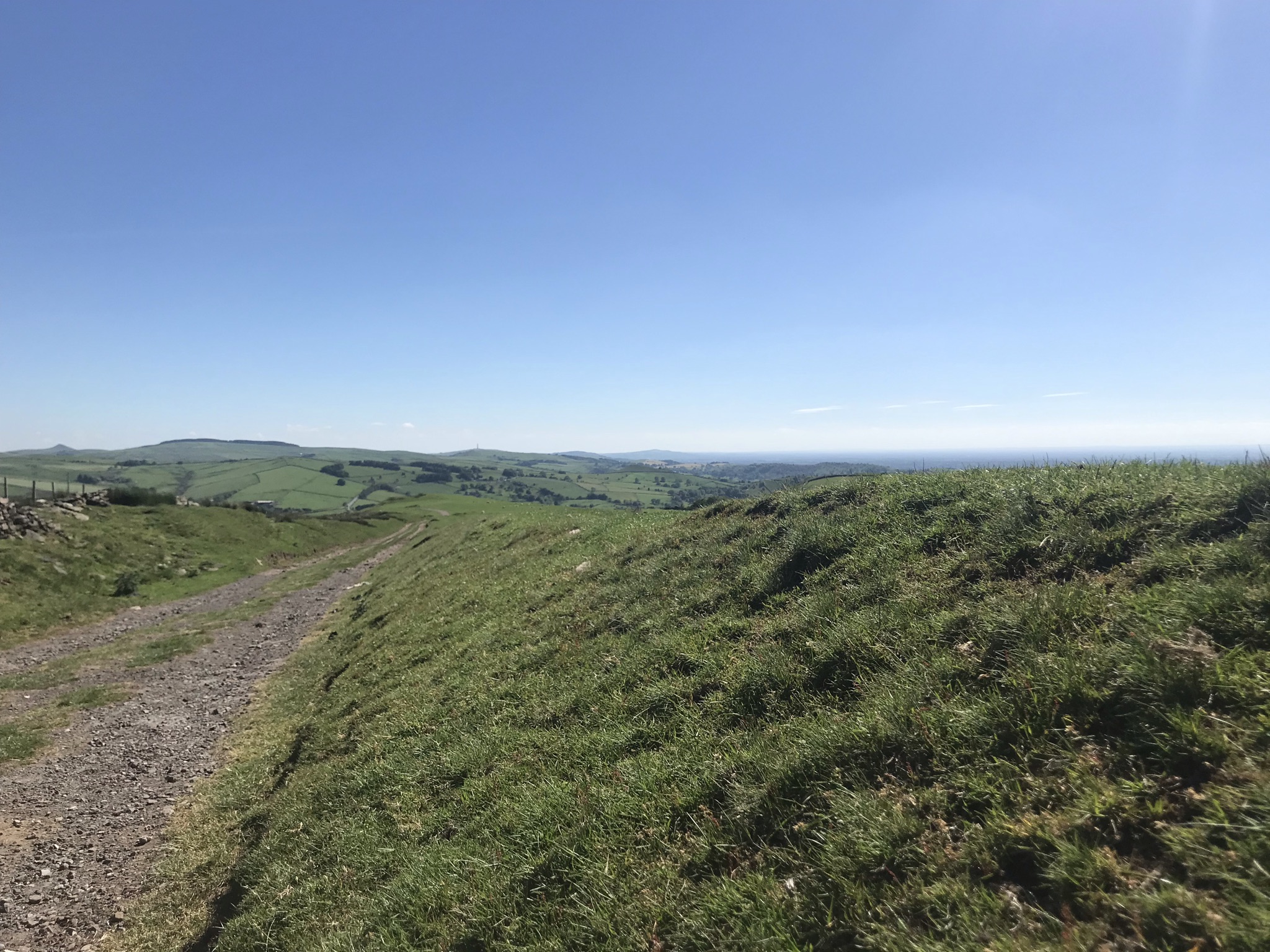
Although this was not the longest walk so far in the Cheshire Challenge (that title is currently held by walk 21), this one scores high on the toughness scale; the eastern side of Cheshire rises up to the Peak District so it’s no surprise this 30km walk has the highest point (412m) and most ascent (814m) of the walks in the challenge so far.  In fact its over double the previous highest point of 172m on the Eddisbury Way.  I’ve also hit the milestone of walking 205km this year, the same as 2020 and climbed over 6000 meters over the whole challenge so far.  I am terrible for not celebrating my successes, but I think if I’d been told last year I would have achieved this I would not have believed it.

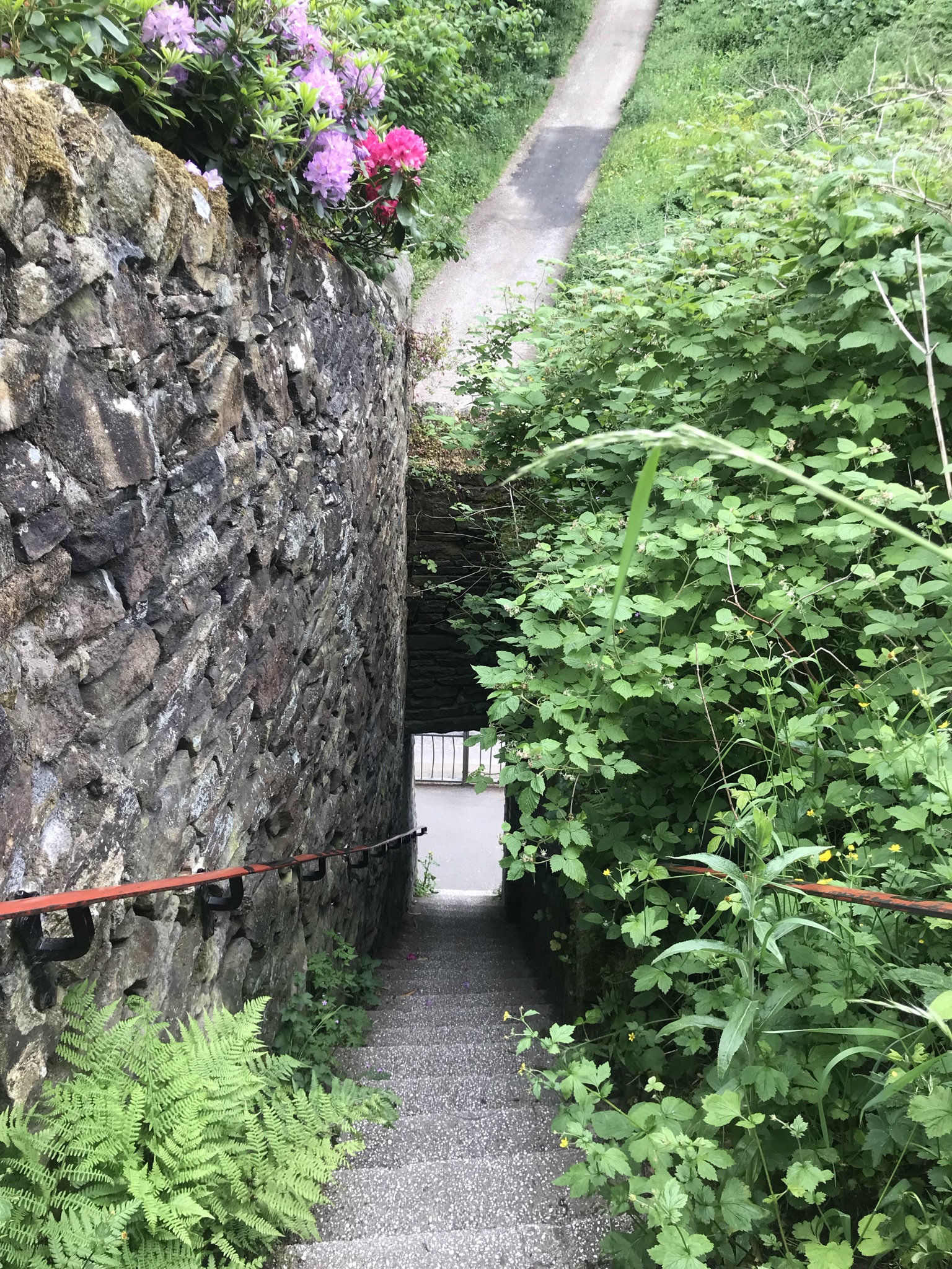
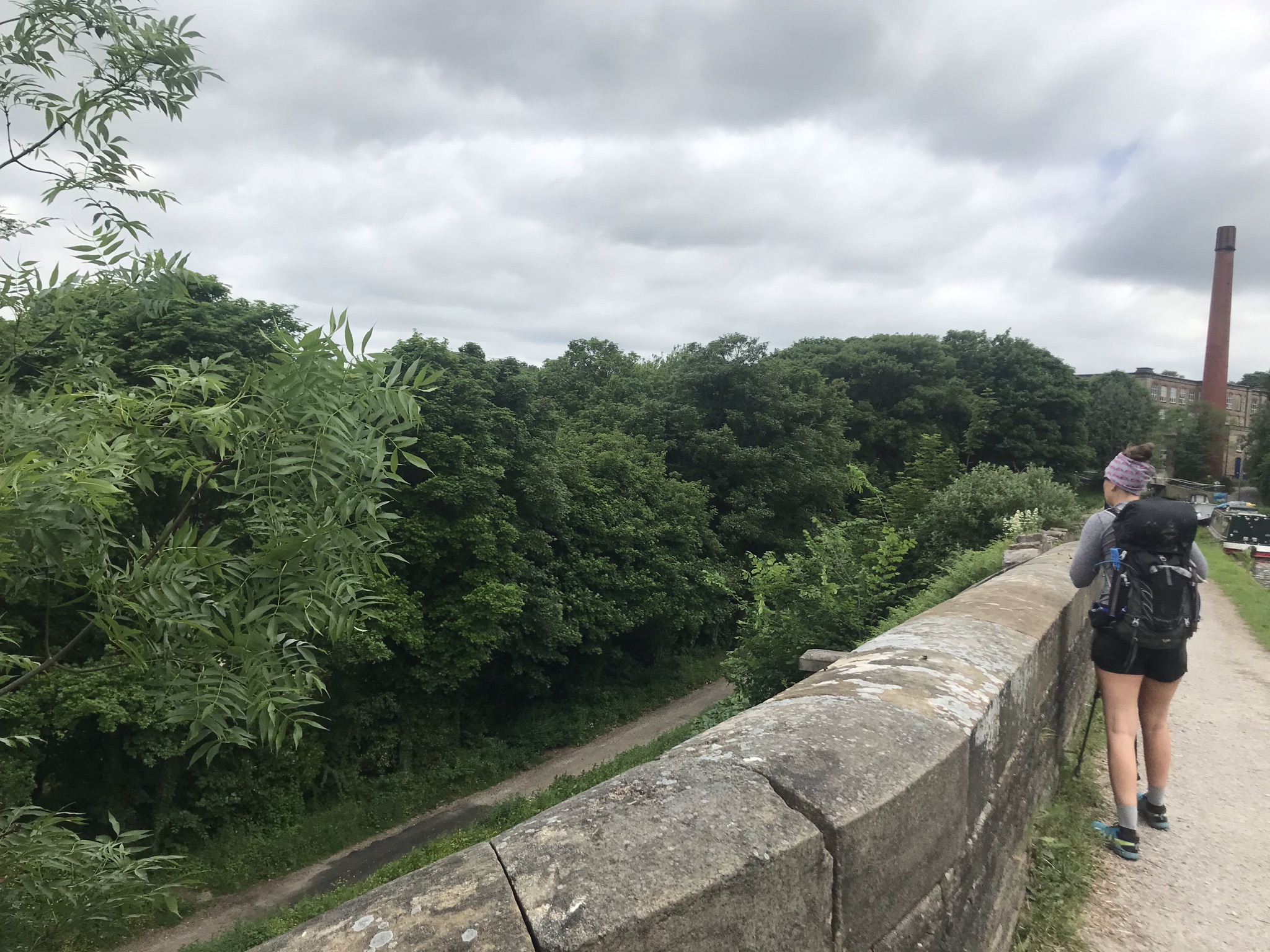
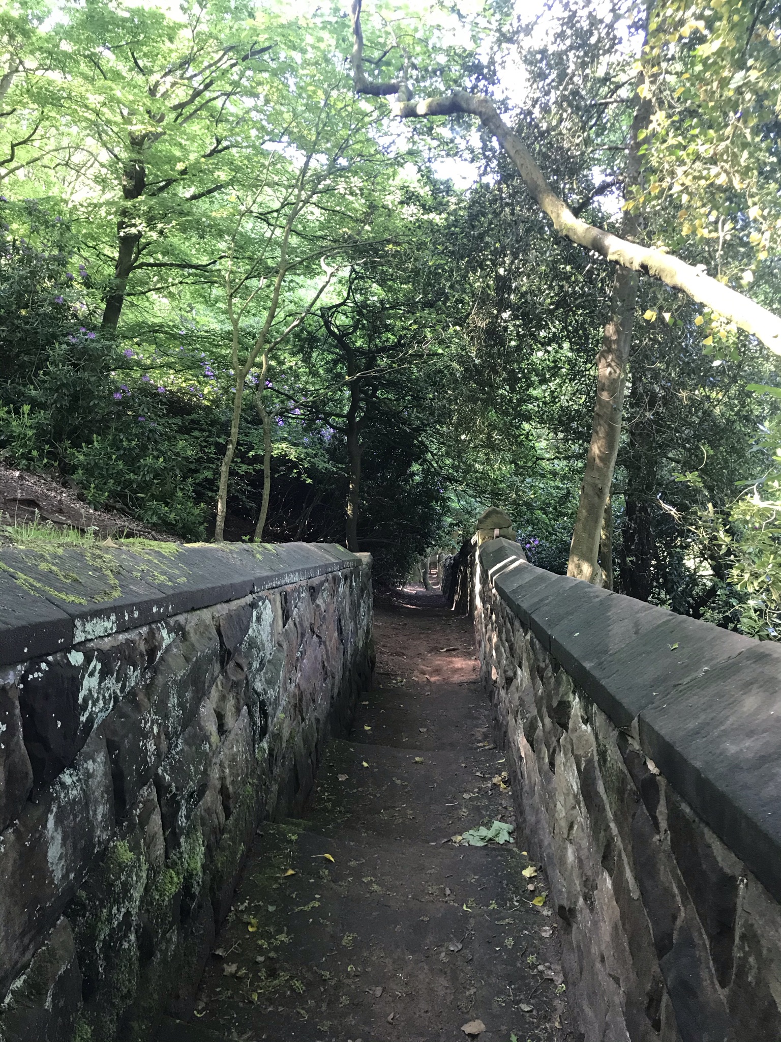
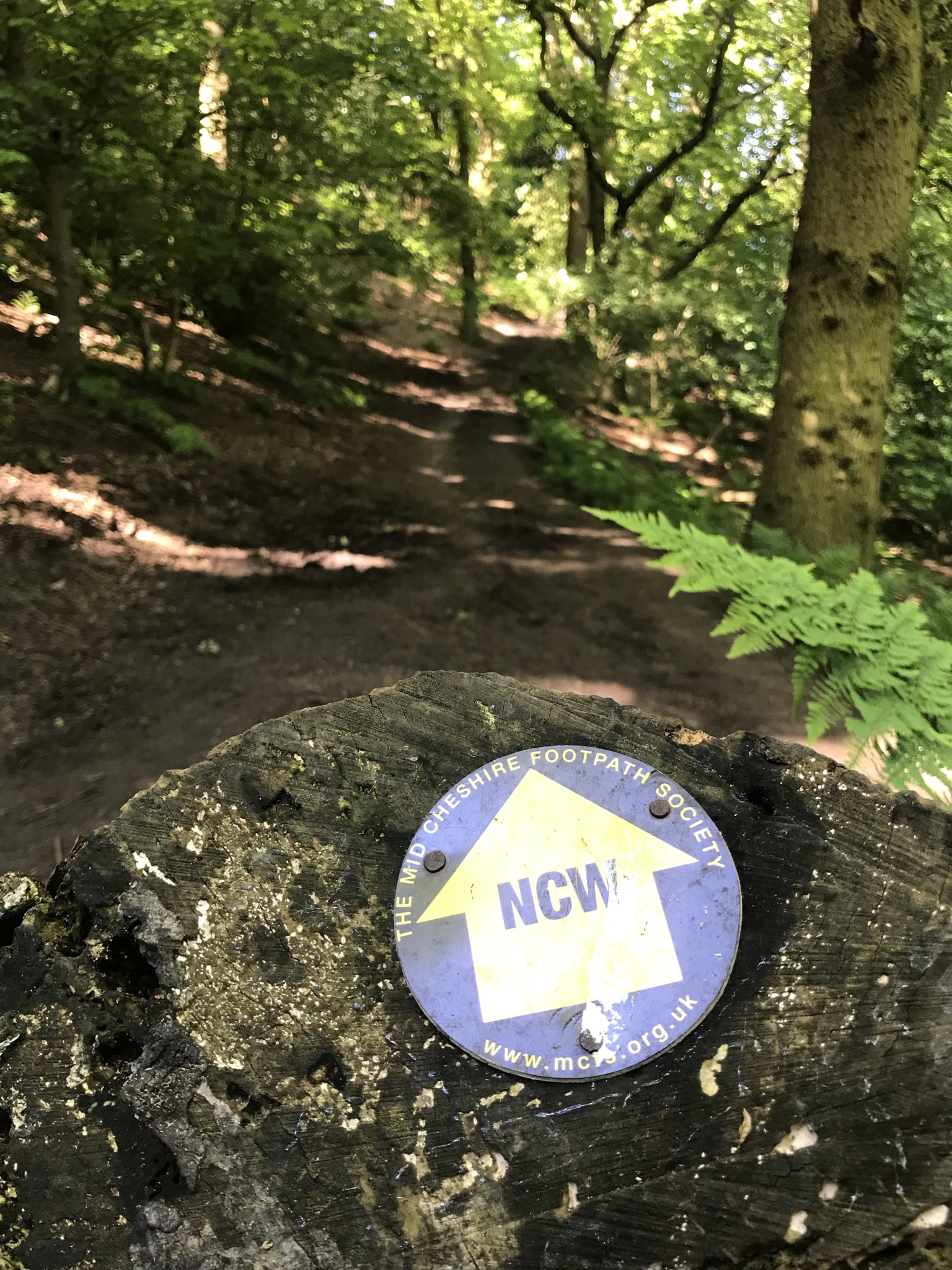
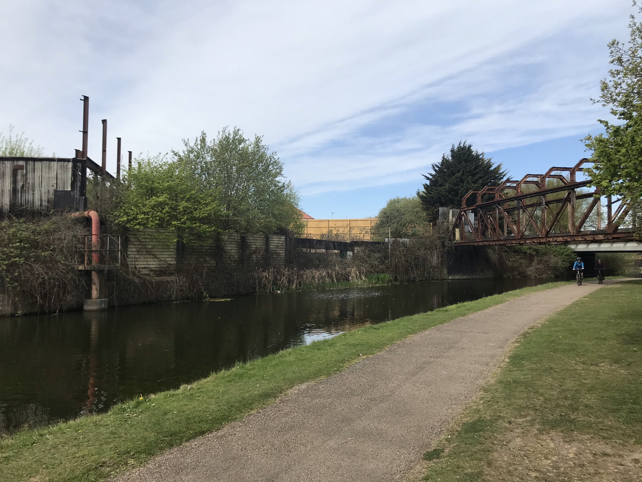
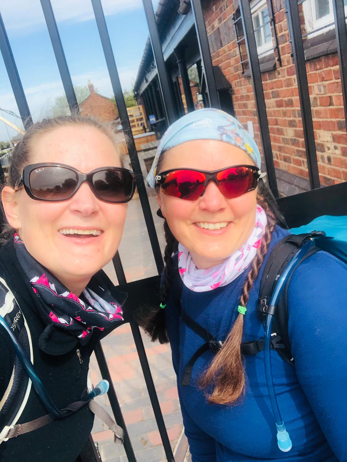
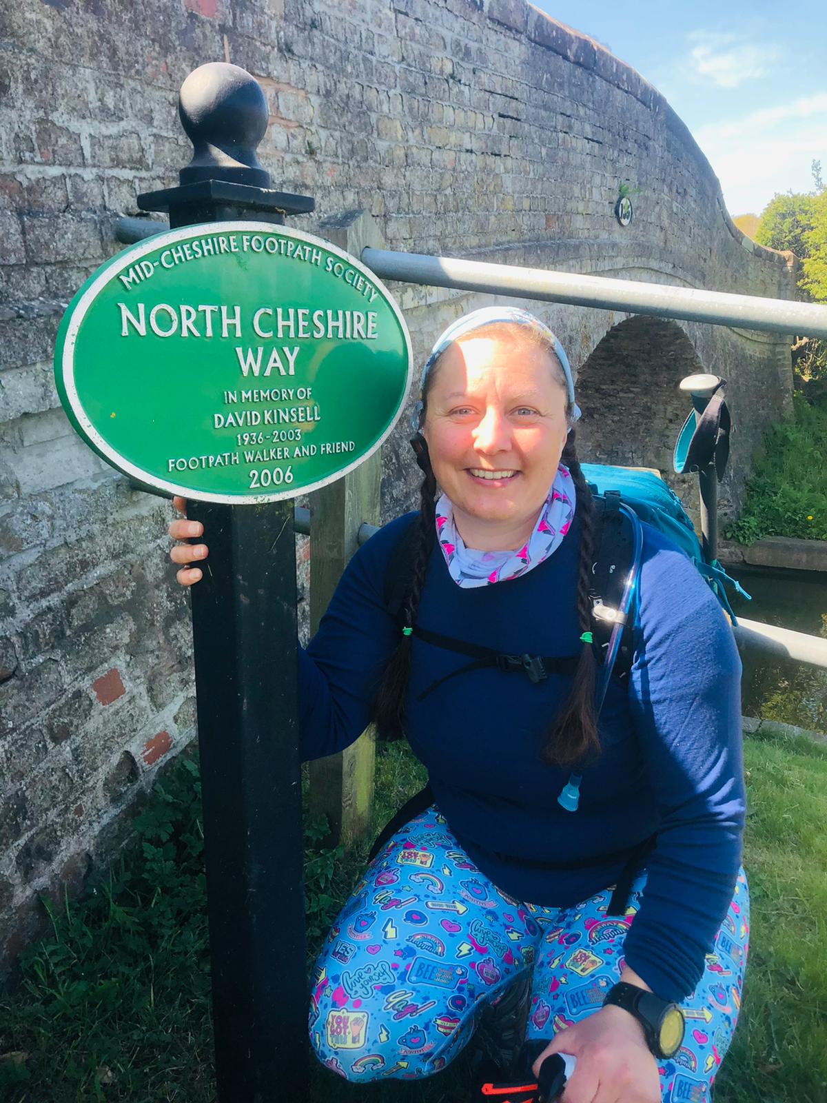
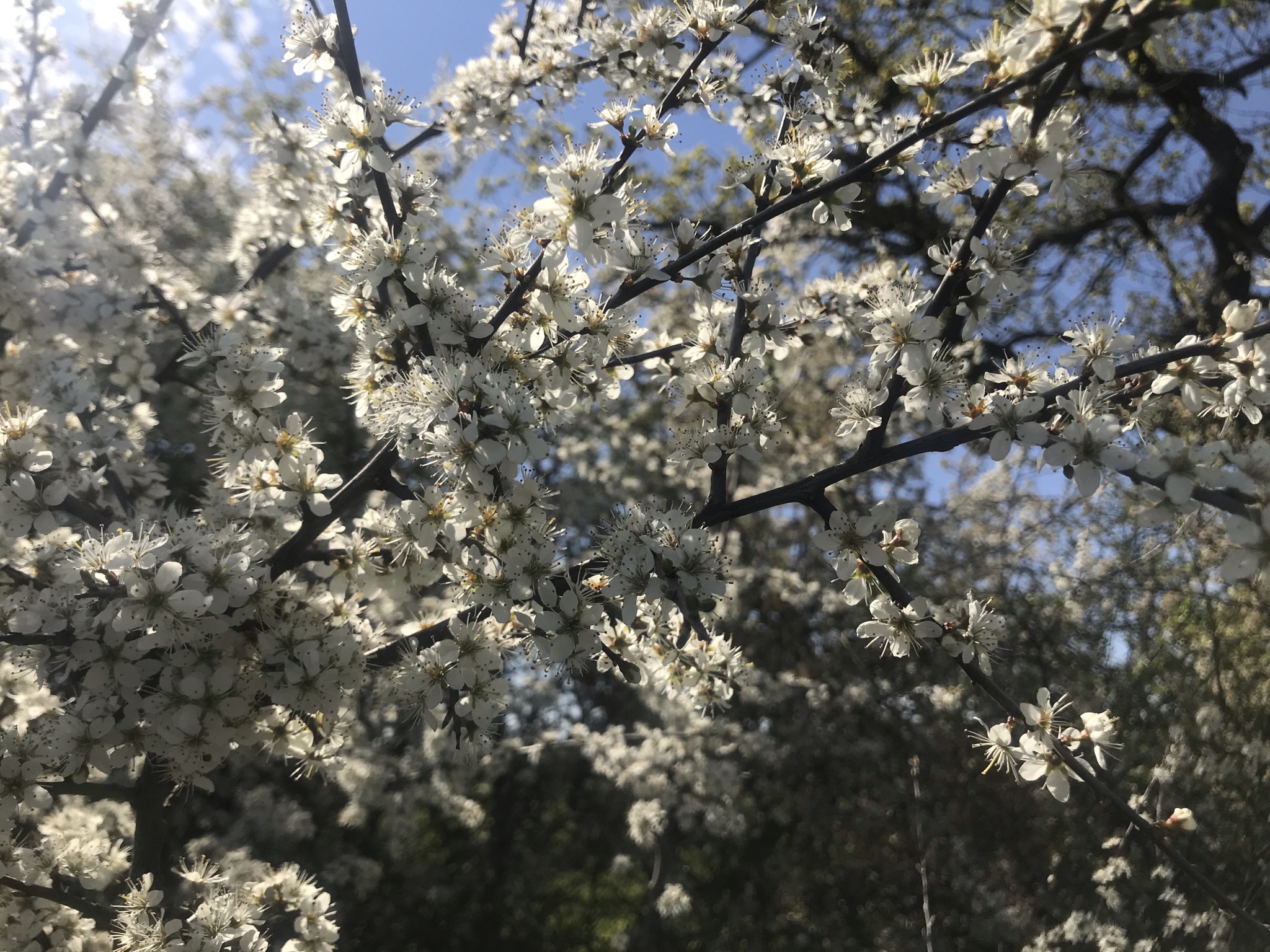
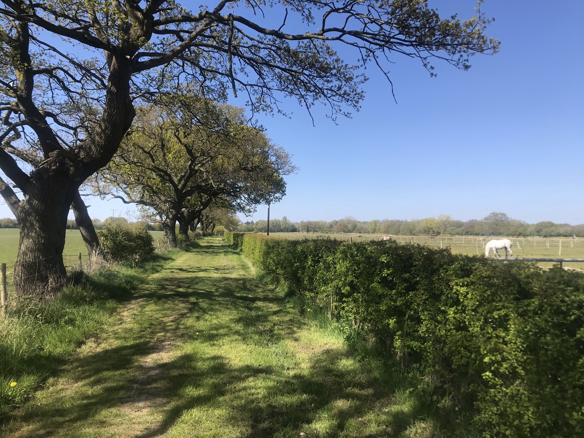
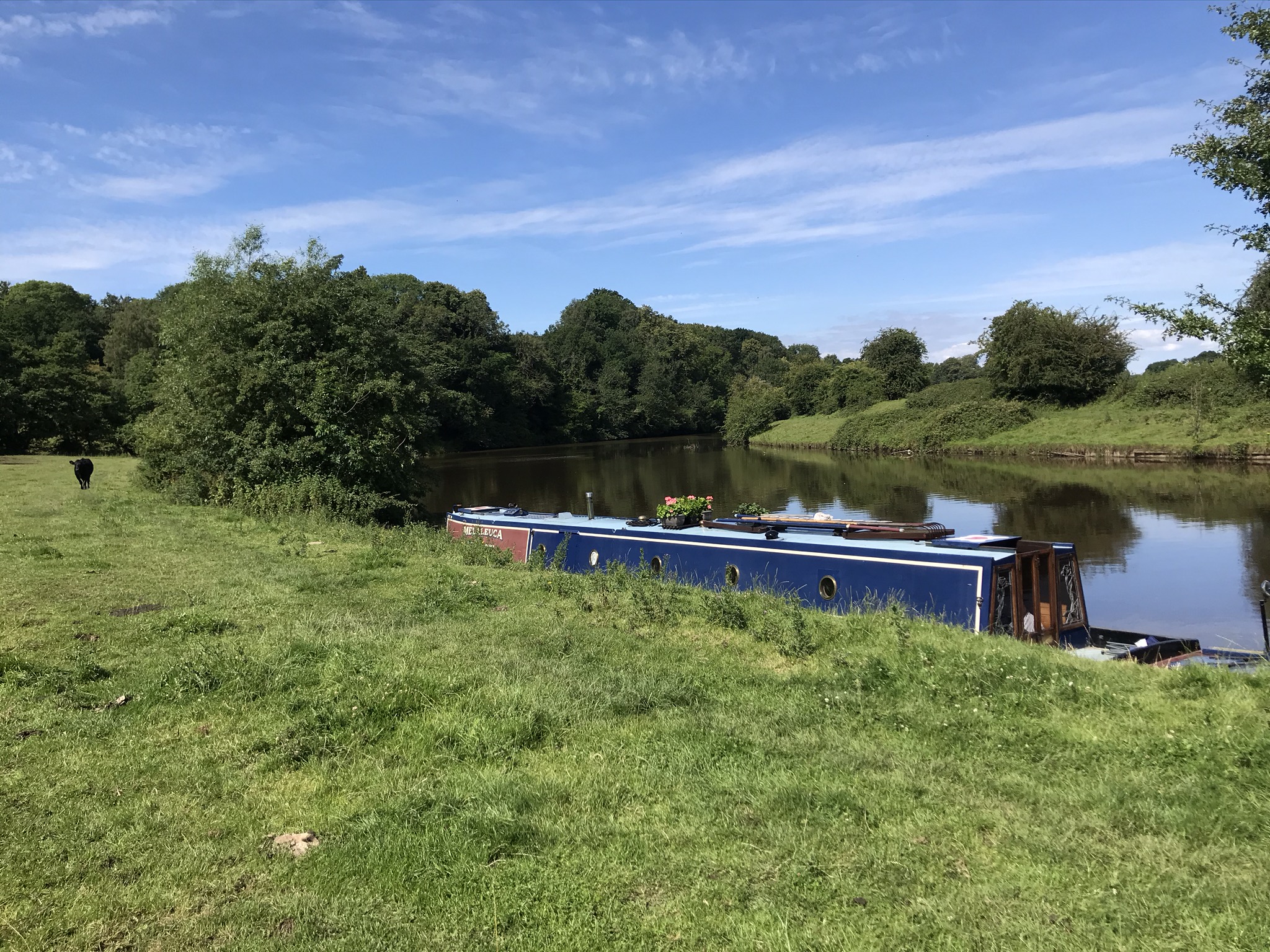
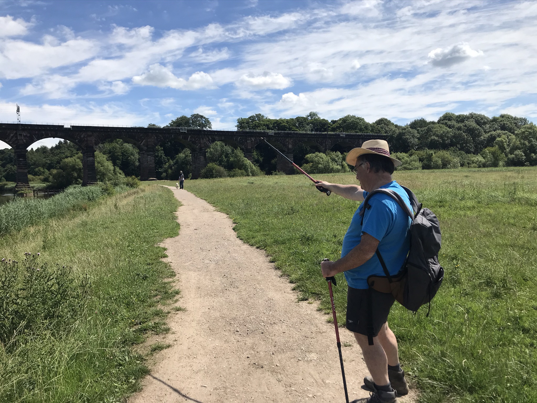
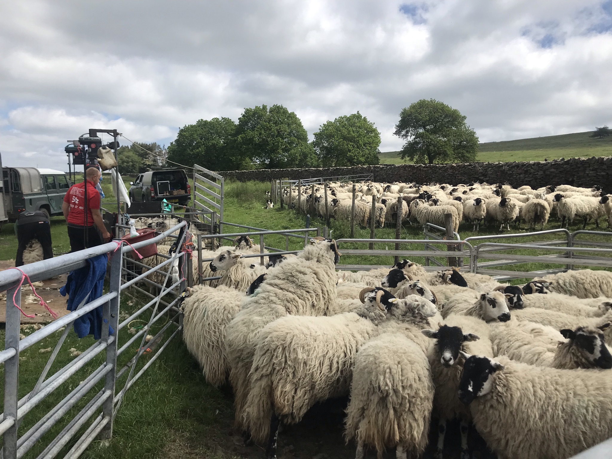
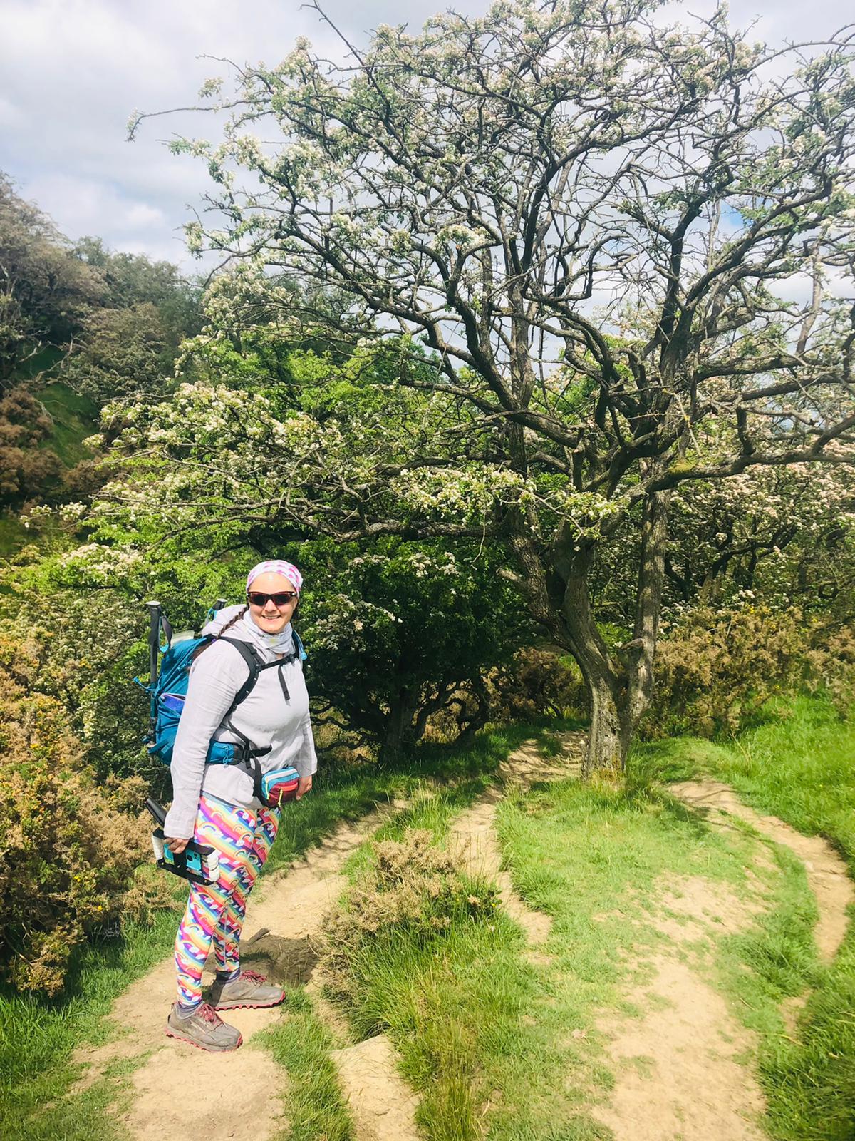
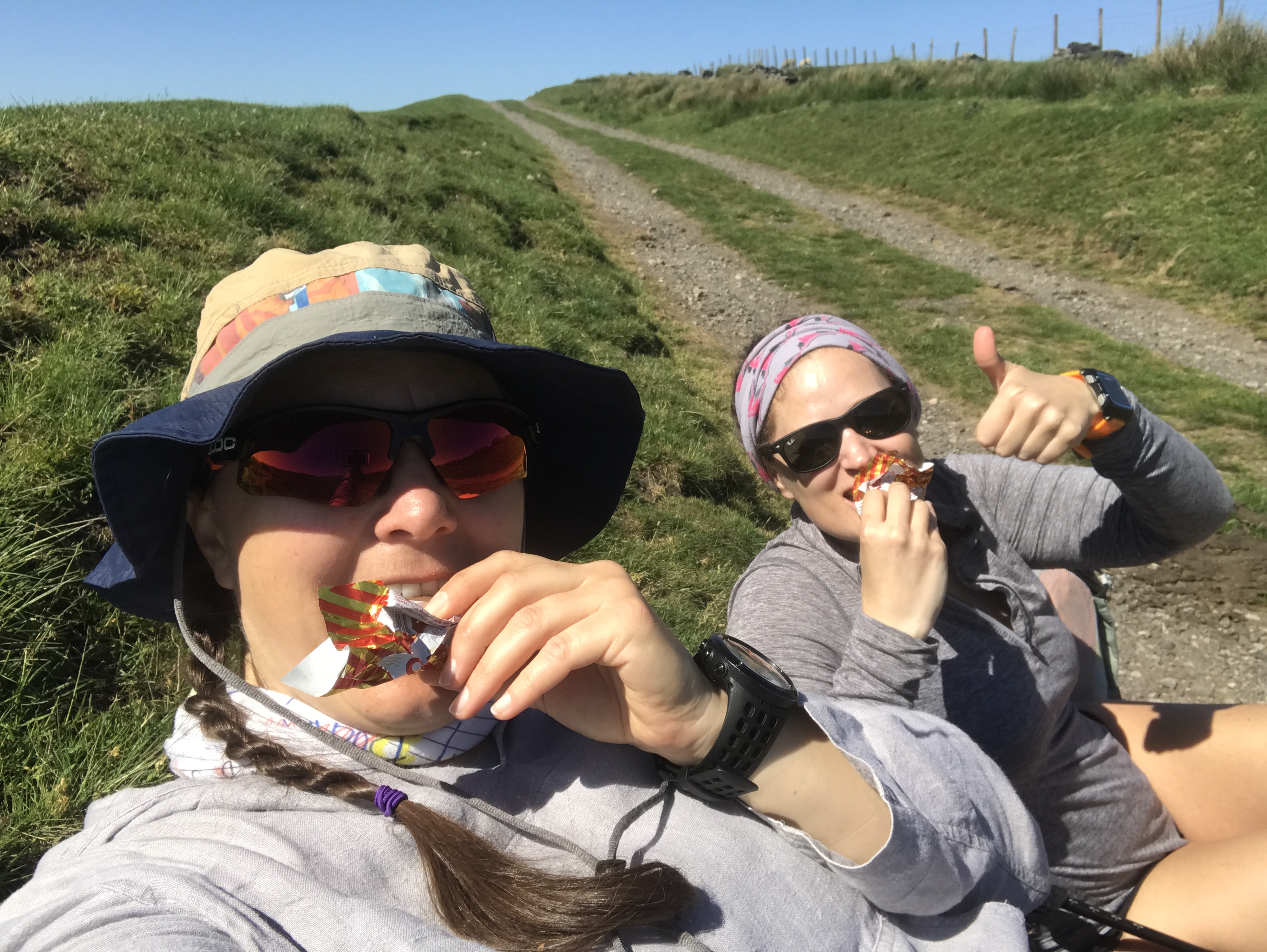
This walk started in Bollington and the mood was set climbing up the very steep Hole I’ th’ Wall steps leading up to the aqueduct on the Macclesfield Canal.  A quick stretching session to get the legs going and Sarah and I set off along the towpath.  This was an easy 5km to lull our legs into a false sense of security before we left the canal for the North Cheshire Way.  The North Cheshire Way stretches from Hooton station some 113km to Disley station and this walk would bring me close to the halfway compete mark.  The path lead through delightful flower meadows buzzing with bees, butterflies and beetles.  We stopped surrounded by buttercups for a snack before the walk pulled steadily upwards and into rougher hillier countryside.  Our attention was grabbed by shearers working in a field next to the drystone wall bordered track.  The speed at which each sheep was caught, clipped and released was impressive, with the neatly shorn sheep trotting off to graze unfazed but significantly cooler on a hot day.

My heart skipped in delight at being in this upland countryside again, I miss it and I want to get back to it.  As much as I am enjoying this Challenge, I think I’ll take a winter break when the low land fields turn to a clarty miserable mess and instead head for the mountains and moorlands.

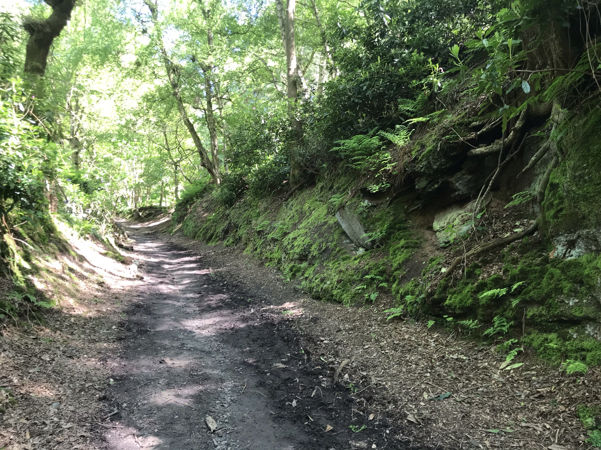
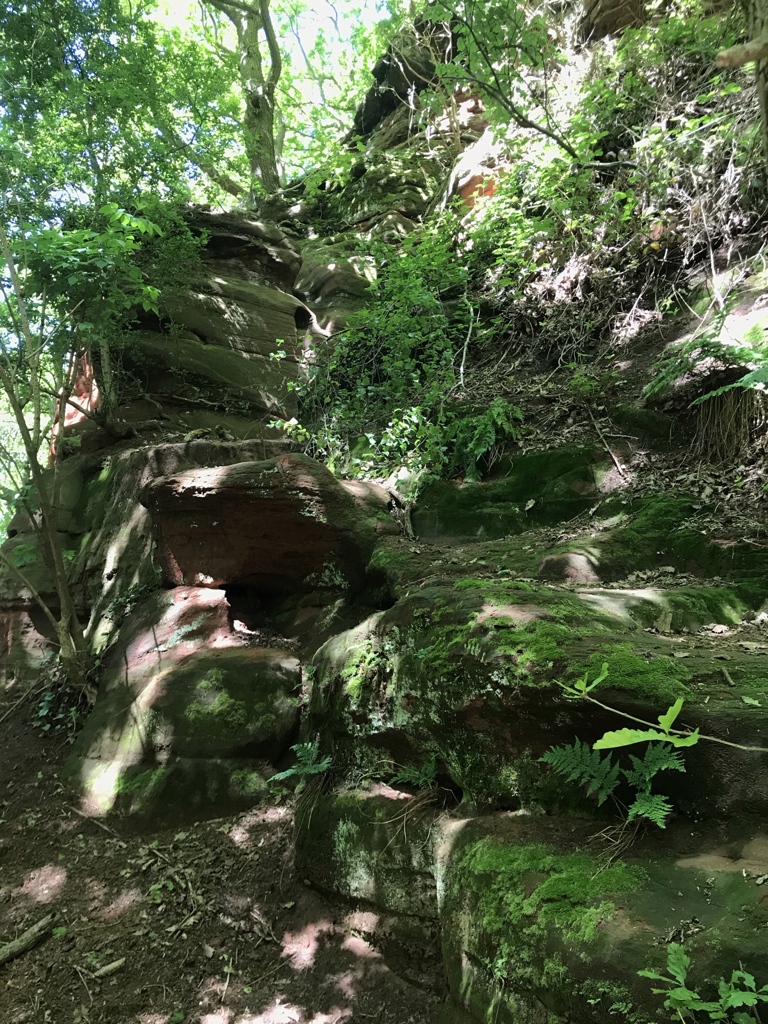
The route follows drystone walls before dropping steadily back off the hills.  Here a dilemma arises.  The North Cheshire Way splits into two options, one that stays low hugging the base of the hills or one that climbs back up to the National Trust Lyme Park.  Both are officially the North Cheshire Way, so do I have to do both?  Saving the conundrum for another day, I had opted for the hillier route, so we climbed steadily up on good paths through woodland with the last of the wild garlic filling the air.

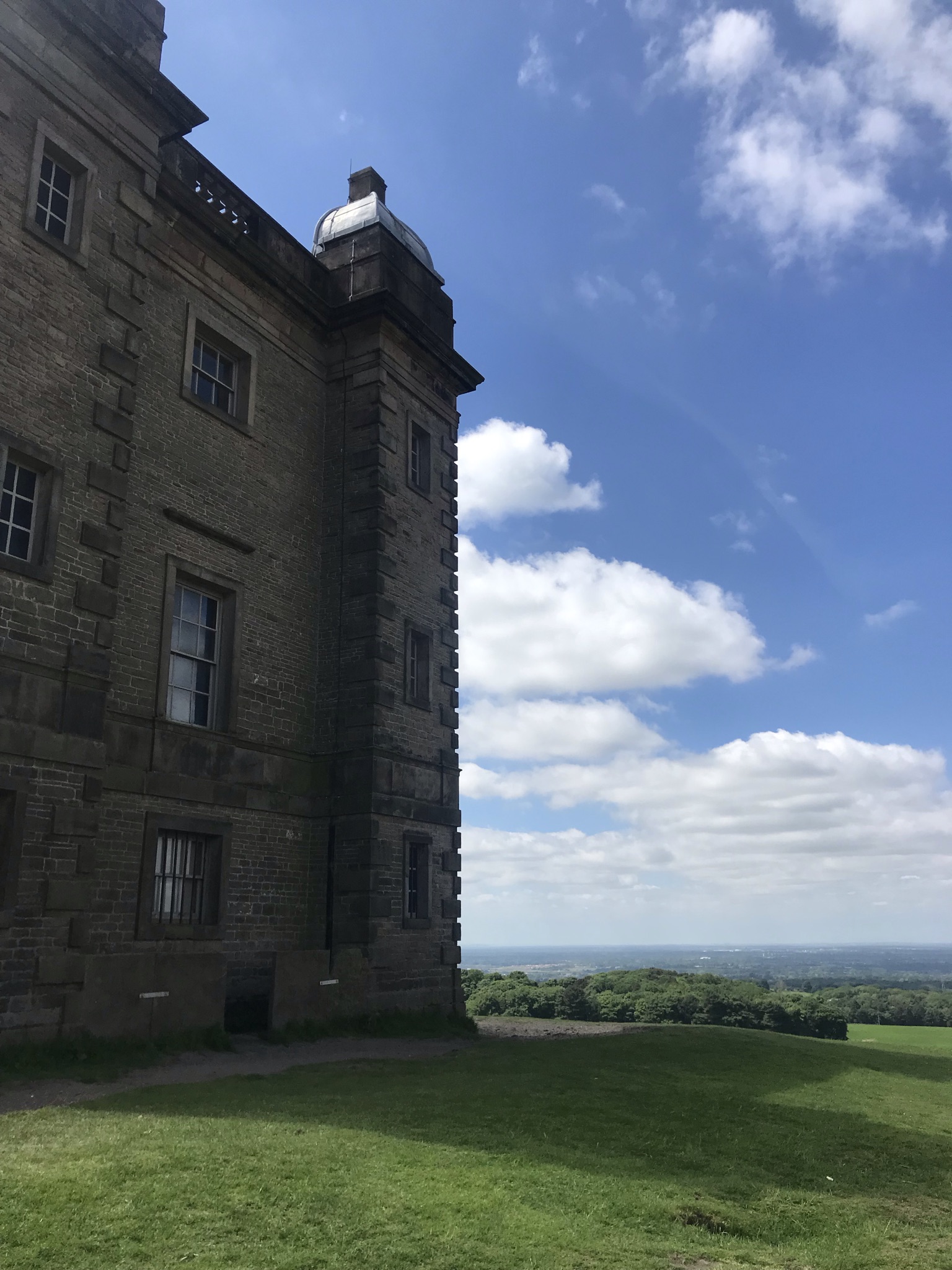
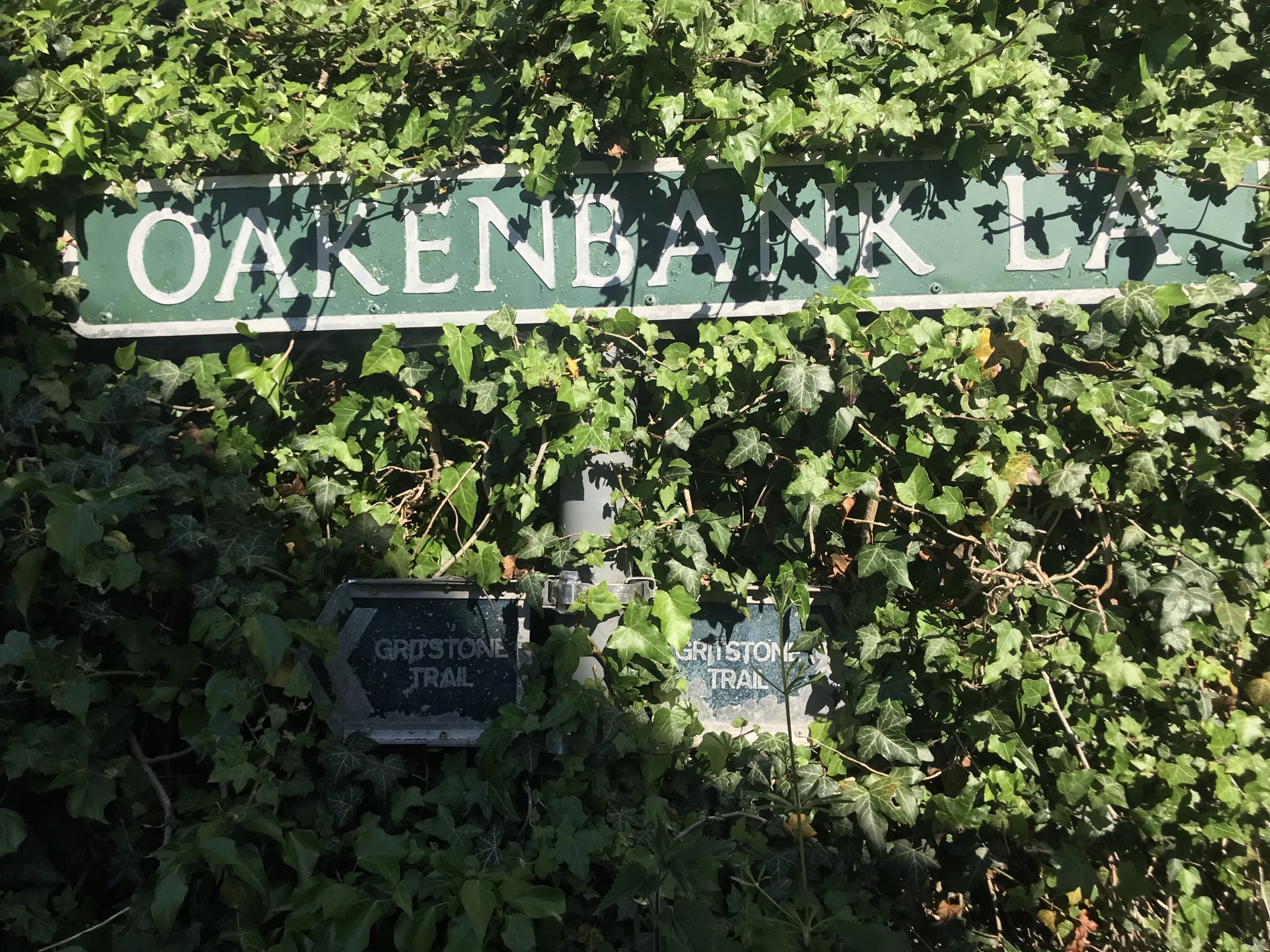
Lyme Park was everything you’d expect from a big National Trust stately home on a sunny day, neat carparks and paths, mown grass full of picnickers, refreshment kiosks and perfectly manicured gardens.  Stopping only briefly for a photo, we set off up Cage Hill with the requisite folly at the top which rewarded us with big views over Manchester and almost all the way to North Wales.  Another steady down hill section past red deer and through large gates completed the experience.  Being a stickler for accuracy, I made us walk down the steps to Disley station to the end of the North Cheshire Way before turning round and starting the Gritstone Trail.  The Gritstone trail is twinned with the Sandstone Trail, it runs sort of parallel-ish on the eastern limits of Cheshire and is only 5 km longer, I’ll be walking a fair stretch of it to train for walking the Sandstone Trail in a day next month.

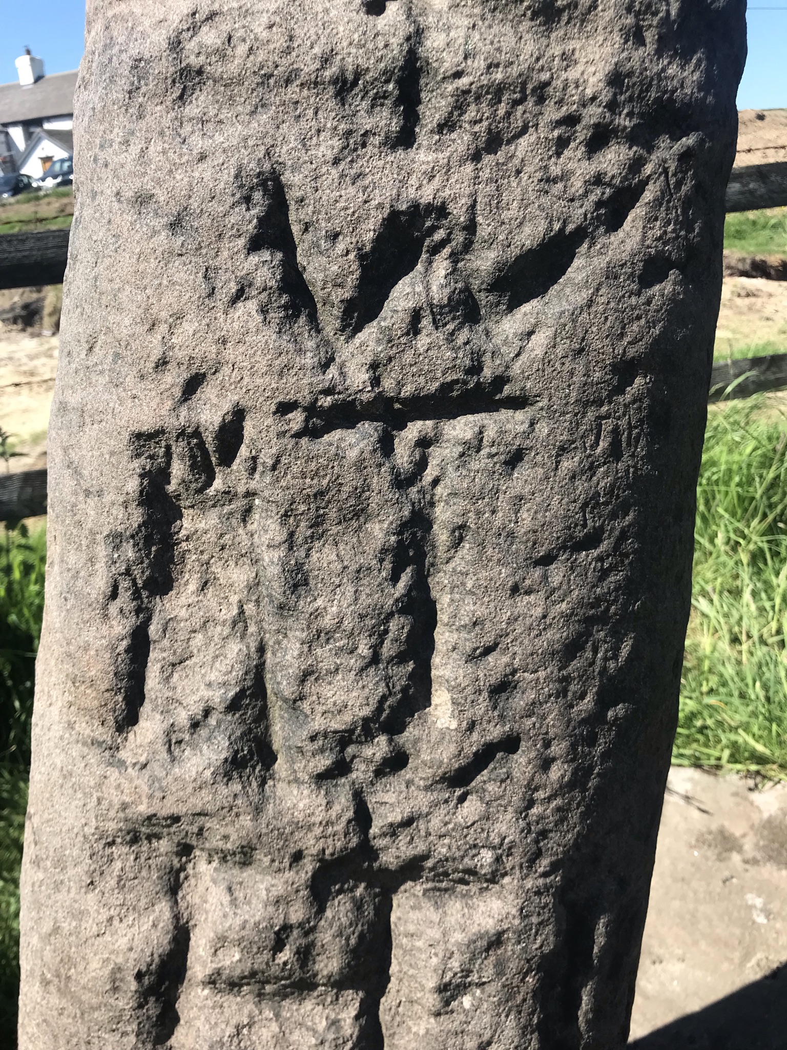
Walking gently up bridleways to a rickety brick bridge with a safer timber bridge alongside, the Gritstone Trail also splits, one option heading down to Lyme Park and a second staying higher.  It was here I made a major navigation error, or rather didn’t check the automatically generated ‘snap to path’ feature on the OS website.  I didn’t spot that the route I was following up to the road was not the Gritstone Trail, rushing to get ready the evening before I didn’t see the error and by the time I got the ‘this does not feel right’ feeling we were too far up the road to want to turn back.  So I have an orphan path to walk – though with both the Gritstone Trail and North Cheshire Way having alternative routes I can make a decent walk of it.  Hey ho!  The two options for the Gritstone Trail rejoined at the carved anglian crosses known as the bow stones.  Dating from the 8th to 10th century these crossed served many purposes as boundary posts, way markers or places of worship.

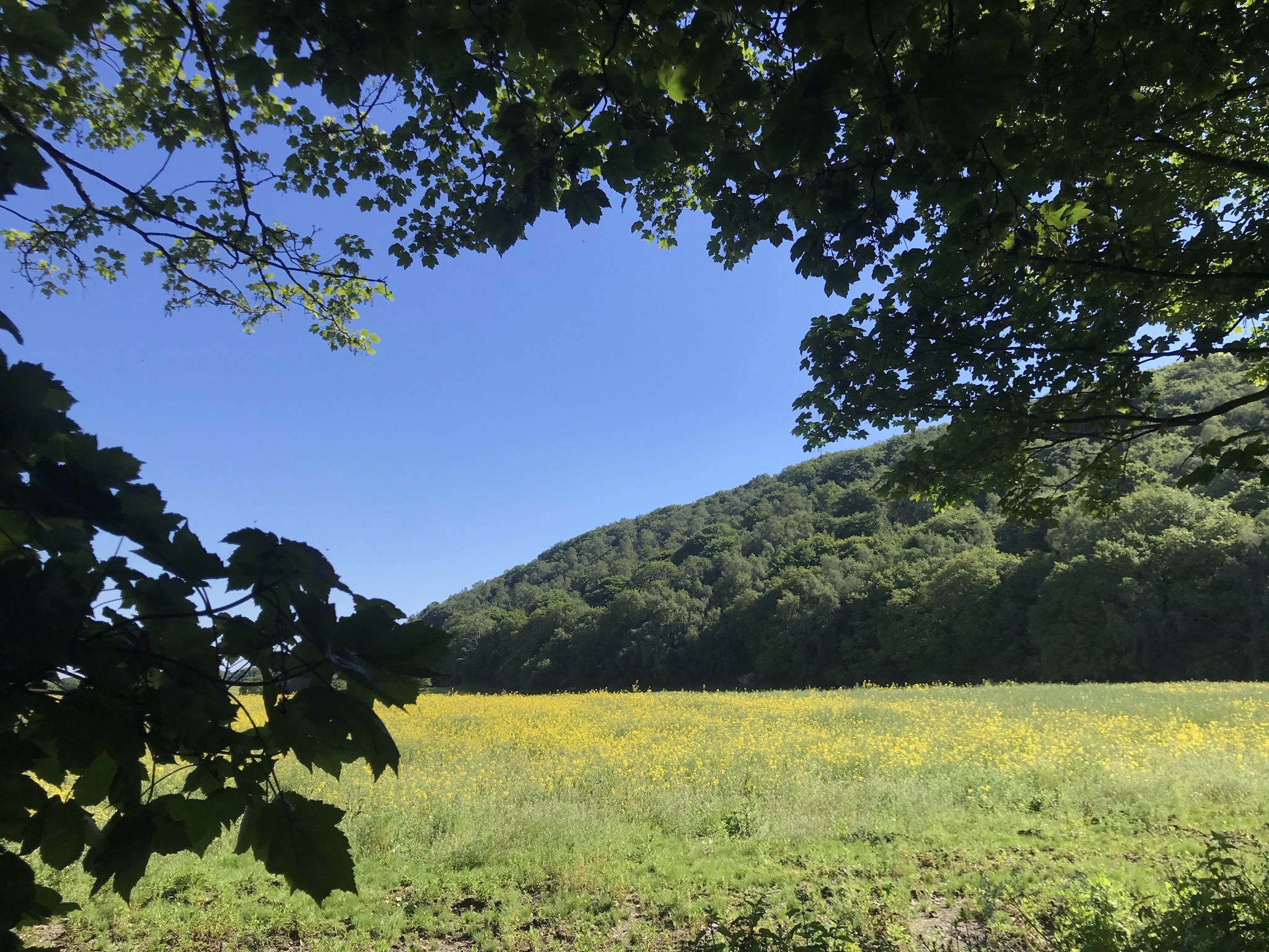
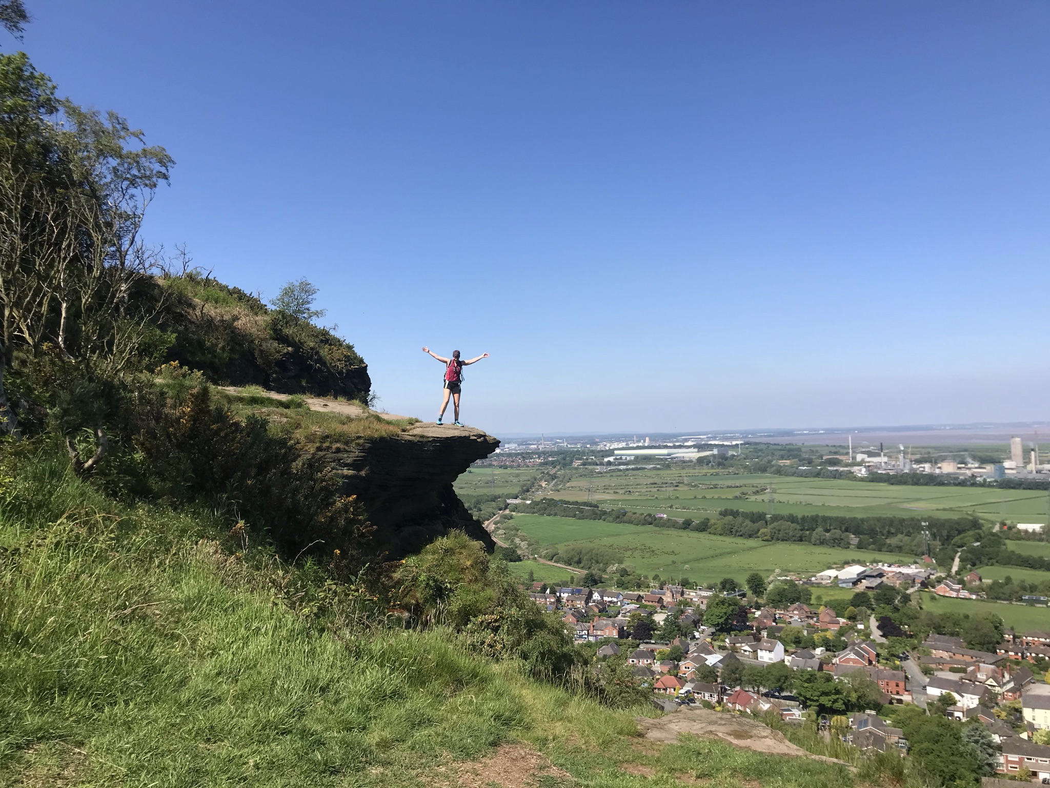
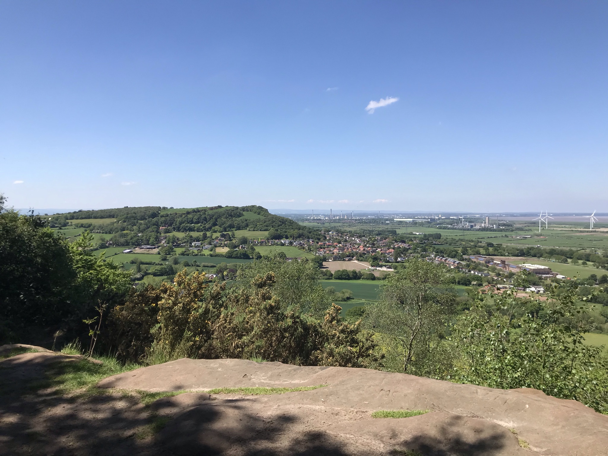
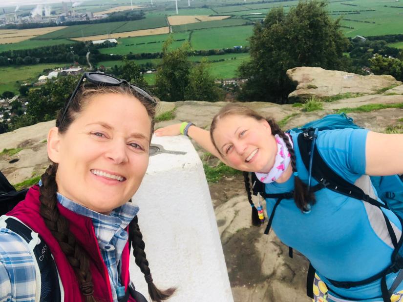
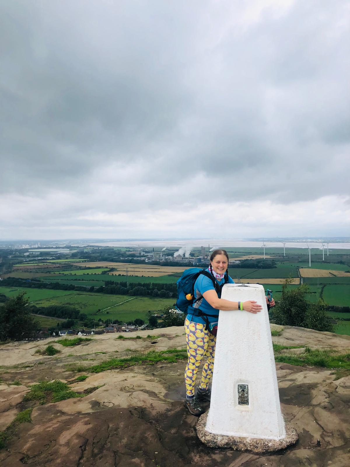
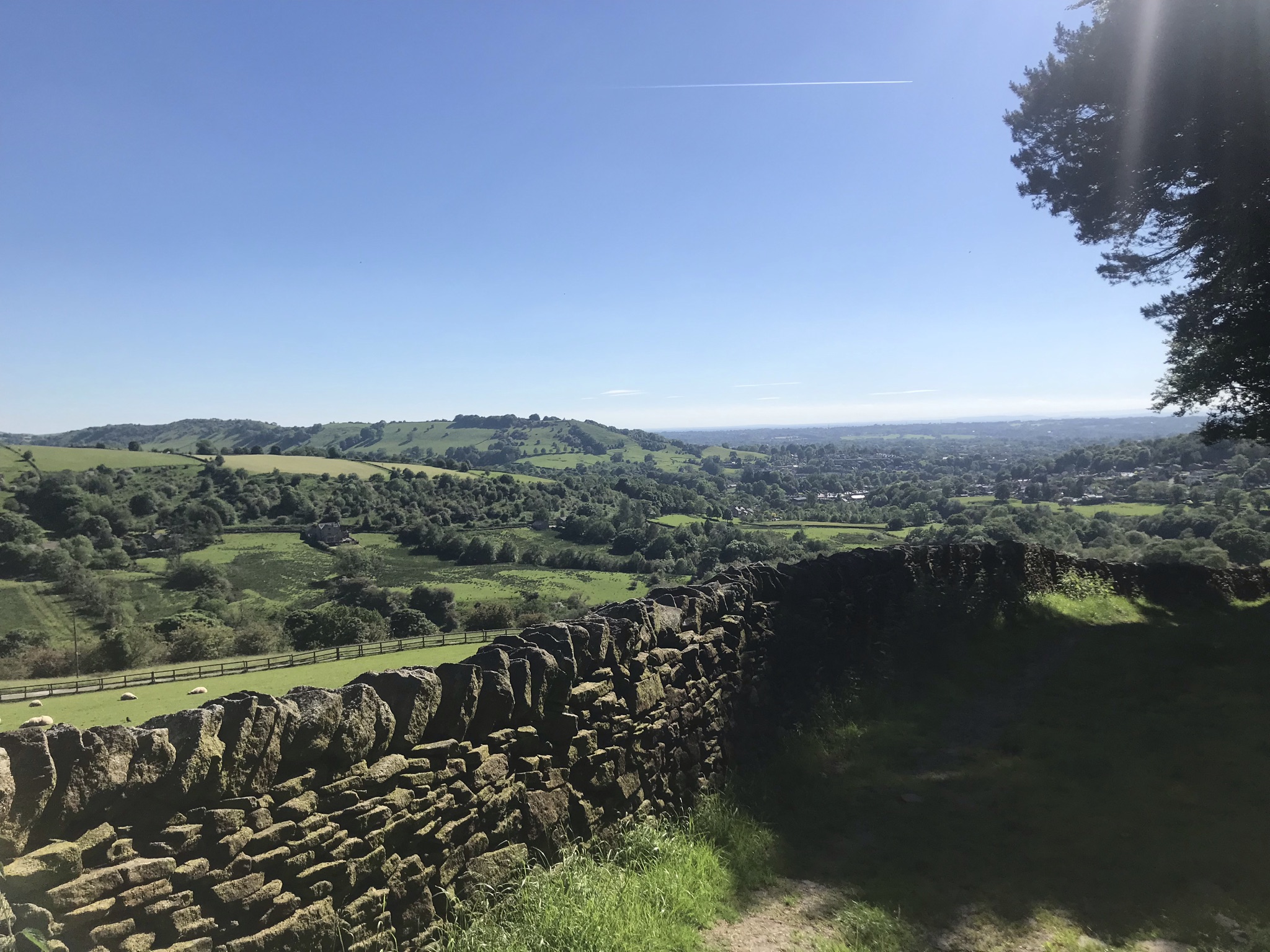
From here the path up to the highest point on the walk is on a wide windswept hill with sheep grazing and broken drystone walls providing little protection, fine on a clear day but prime territory for horizontal rain in winter.  A detour for trig baggers can be made here at Sponds Hill, but I was in heads-down mode to catch up on time.  We stopped at the viewpoint at the highest point and even with an afternoon haze to the air I could pick out the Sandstone ridge and North Wales across the plains of Cheshire.  A steady down hill 5km, with the Matterhorn-esque Shutlingsloe prominent in the distance, brought us to the foot of the big pull of the day – White Nancy

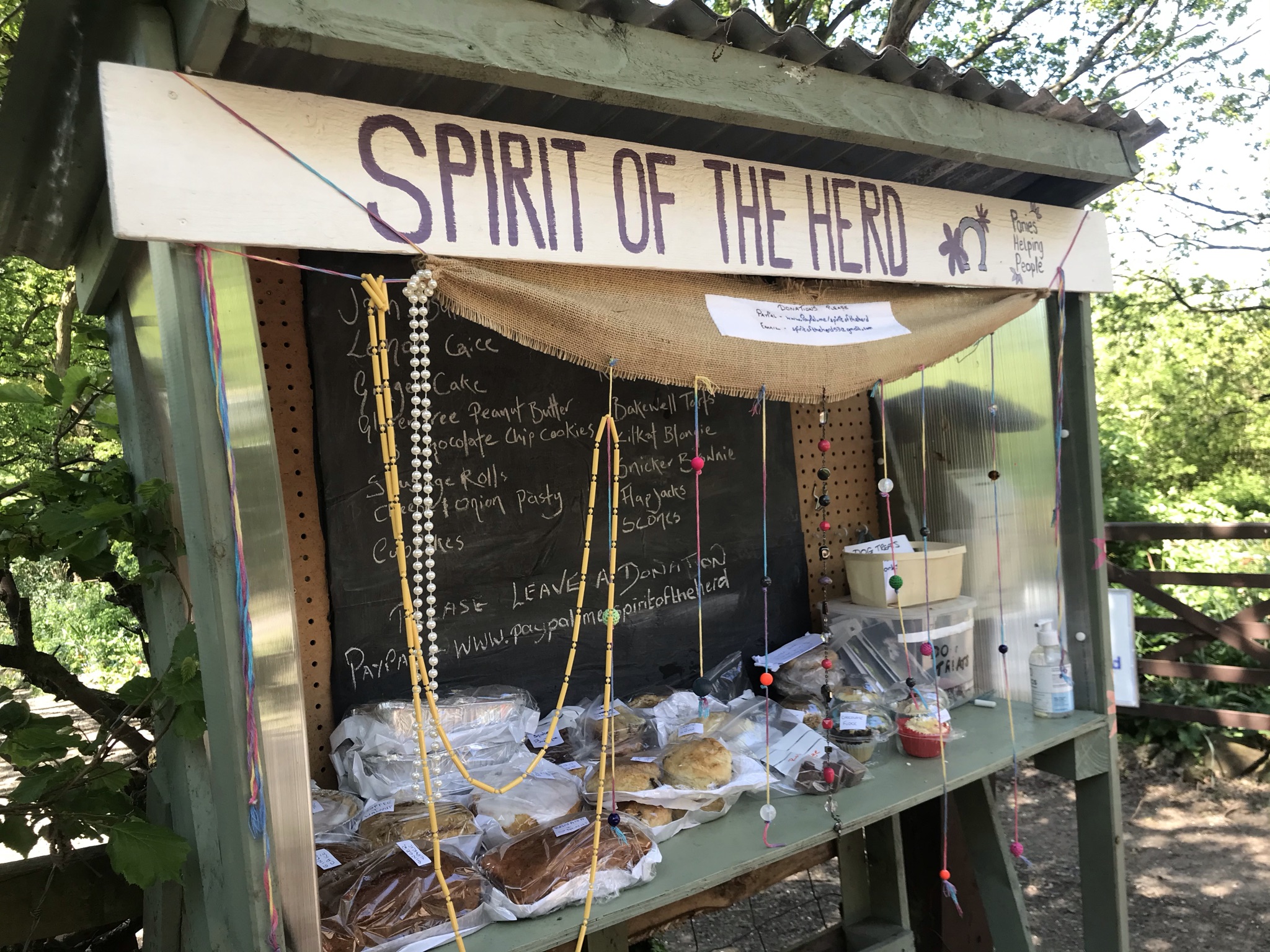
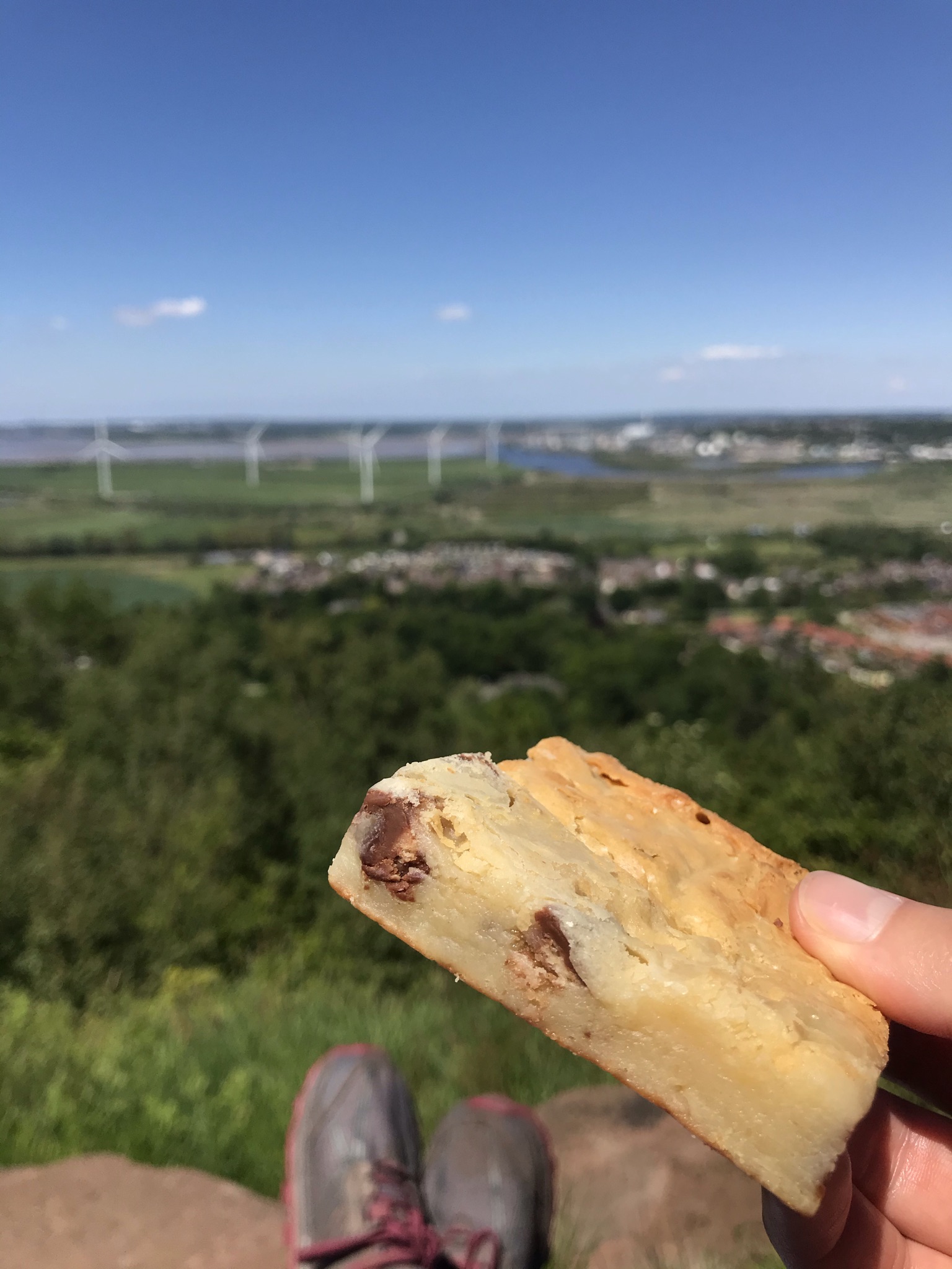
White Nancy is the name of the conical folly on Kerridge above Bollington. It was built to commemorate the battle of Waterloo and over the years has been painted to observe many different events from a red poppy to the Olympic rings.  Approaching it from the north on the Gritstone Trail means gaining 100 metres height in an 800 metre distance, all that leg work in training sessions paid off and we managed to climb it in one hit; albeit with hearts pounding and legs complaining bitterly.  Though its possible to miss it out and walk back to Bollington the view is worth the effort.  A kilometre further along the Saddle of Kerridge this walk and the Gritstone Trail parted company and good footpaths lead back to the canal.  Retracing our steps down the Hole I’ th’ Wall steps was the final test for our legs but the reward of cake more than made up for it.

Video of the walk HERE

The route is available on the Ordnance Survey website HERE

Cheshire Challenge Distance27km
Paths walkedCheshire Ring Canal Walk, North Cheshire Way and Gritstone Trail
Total distance30km
Total ascent814m
OS mapOS Explorer OL1 and 268
Date walkedJune 2021
Time taken8 hours 20 minutes
CakeCherry sponge
Dance poseMore 90’s rave classic moves – stack those shelves!
Total Cheshire Challenge distance complete:412km (1500km total)
Rolling fields and Hawthorn bushes covered in white flowers frames by the entrance to a cave
Cheshire Challenge, Walk

Cheshire Challenge walk 22 – North Cheshire Way, Sandstone Trail and Weaver Way

After our big walk, this was to be a nice short 20km.  Huh, never thought I’d write that a few months ago! 

The walk picks up a section of the North Cheshire Way, Sandstone Trail and a little of the Weaver Way.  This corner of Cheshire around Frodsham and Helsby has quite a few overlapping paths which makes the route planning a bit tricky and a minor detour was needed so I could fully tick off a section of the North Cheshire Way.

We started at Frodsham station, the route is a wiggly circular taking in the sandstone ridge with big views over the Mersey and a section along the river Weaver which was engineered to be navigable in 1732.  The weather was gloriously sunny so I bravely left my waterproof trousers at home and took sunscreen and a hat instead.  Leaving kit behind always makes me a tad nervous, especially waterproofs even though the forecast was sunny all day and I was such a short distance from home rescue was only a call away; but nervousness is a good prompt to make me check if I am really sure I should leave something behind or not.

Leaving the station, the route walk hugs the bottom of the ridge, slowly climbing up through the trees.  It’s a very pretty place to walk and lovely to explore the many paths among the broadleaf woods and sandstone outcrops some with ornately carved graffiti from over a century ago.

But we were on a mission and joined the North Cheshire Way at an impressively solid flight of stone steps.  The route continues to hug the wooded hillside for a couple of kilometres then pops back out into the sunshine heading for Helsby.  After a steep climb through more woods, we came to the top of the cliffs above Helsby.  A haunt of local climbers, its often soft, friable sandstone is not to be underestimated and requires significant brave-pants to be worn on the harder grades.

At the top of Helsby hill is a trig, which we visited on walk 6 so we gave it another hug (all trigs need a hug) and stopped for a snack.  The North Cheshire Way now follows the same tracks as the Longster Trail for a few hundred metres before heading south and on paths I have already logged in the challenge.  A very short stretch on the Longster Trail, again already logged, and the route switches to follow the track of the Sandstone Trail.  The strategically placed Spirit of the Herd pony sanctuary’s cake stall was too much temptation to resist and having discussed in depth our plans to eat a little better on our walks we stuffed our selves with fudge and brownies.  Well its for a good cause and very delicious.

The Sandstone Trail is one of, if not the best waymarked path so far on the challenge and the map was forgotten until we got to Baker’s Dozen, a flight of steel steps from Dunsdale Hollow which replaced the very worn Jacob’s ladder steps carved into the sandstone.  It was here we took a short detour to pick up the North Cheshire Way before retracing our steps under the cliffs covered in carved graffiti, some dating back hundreds of years.  Now officially counting towards the North Cheshire Way, the route popped out at the memorial high above Frodsham with more long views to North Wales and Liverpool.

Now the walk headed down off the ridge and into lush meadows and arable fields before arriving at the banks of the river Weaver.  Canada geese, moorhens and mallard ducks were abundant in the reeds in the banks and a long-abandoned lock.  At the road bridge we headed back into town and ate even more cake sat in the sun.  Perfect!

Video of the walk HERE

The route is available on the Ordnance Survey website HERE

Cheshire Challenge distance15.8km
Path walkedNorth Cheshire Way, Sandstone Trail and Weaver Way
Total distance20km
Total ascent609m
OS mapOS Explorer 267
Date walkedMay 2021
Time taken6 hours 20 minutes
CakeKit Kat blondie from Spirit of the Herd AND cherry sponge cake!
Dance pose90’s rave…
Total Cheshire Challenge distance completed:385km (1500km total)
The stats
White blossom covers branches with blue sky in the background
Cheshire Challenge, Walk

Cheshire Challenge walk 19 – Shropshire Union Canal & North Cheshire Way

It’s been a while since I have walked over 20km and was pleasantly surprised how little my body complained about this 30km walk.  The route on the OS map puts it at 27.5km, but there were a few less obvious navigation points that were a little hidden and required a bit of back-tracking to be sure we were on course.

The first 7km of the walk was getting to the Shropshire Union canal from Hooton station.  Most of the Cheshire Challenge walks have been rural or just passing through the outskirts of towns, this was much more urban and not the prettiest of walks with the busy M53 motorway, Stanlow refinery and warehouses contrasting with pasture, woodland and sandstone cottages.  What I did find fascinating is passing landmarks I recognised from driving along the motorway but seeing them at a much slower pace and seeing more details, but it did mean the smell lasted longer too.  Walks I have done so far on the Cheshire Challenge, especially those along the canals, have passed through industry from over a century ago which has lost its brutal edge and is painted, cared for and has become ‘heritage’.  I wonder if the same nostalgia will ever placed on modern industrial buildings.

As always when I walk with Sarah Williams we talked pretty much the whole way; our conversations blend the deep and meaningful, planning future endeavours and plain silliness.  I like walking and talking and it is true that walking brings clarity to thought.  I often find that over a walk I’ve resolved issues that have been running round my head and, in today’s video call world, I find conversations with someone while not looking directly at them bring a deeper discussion.  Add to that the steady pace of walking which is proven to help the brain process thoughts I definitely get more than just a good physical workout from walks. But the serious chat is balanced by a good dose of laughter, too.

We reached the ‘start’ of the walk at the boat museum at the Shopshire Union Canal, not yet open I got as close to the locks at the end of the canal as I could before back-tracking a short distance to walk along the canal.  For a canal that passes some of the areas heaviest industry, there are pockets of tranquillity and plenty of wildlife.  There are equally neglected areas too, often within a few minutes’ walk and though this could be quite depressing I take comfort in knowing that nature will thrive and reclaim what we humans leave behind.  And there was a poignant moment too, a stark reminder of just how hard it has been for some with flowers laid remembering a life cut short too soon.

The walk did not stay on the canal for long and picked up the North Cheshire Way to weave back to Hooton for the next 14km.  Spring was springing everywhere, this section of the walk was more rural along pastures and woodland, passing fields with calves, lambs and foals with blossom covered blackthorn and cherry trees along the hedges and gardens.  Even the road sections seemed more pleasant than normal, its amazing how blue sky and sun can transform things.

Video of the walk HERE

The route is available on the Ordnance Survey website HERE

Cheshire Challenge Distance19.7km
Paths walkedShropshire Union Canal & North Cheshire Way
Total distance walked27.3km
Total ascent133m
OS mapOS Explorer 266
Date walkedApril 2021
Time taken7 hours
CakeNo cake but some very good gummy sweets!
Dance posejazz!
Total Cheshire Challenge distance completed:288km (1500km total)
The stats
An arched canal tunnel entrance surrounded by trees with a grass bank and road on the right hand side
Cheshire Challenge, Walk

Cheshire Challenge walk 8 – Trent and Mersey Canal Walk & North Cheshire Way

This was a relatively gentle walk with a lot of industrial heritage along the way, and you can’t go wrong with a bit of industrial heritage for interest!  It was also the Ordnance Survey’s Get Outside day and the weather was glorious early autumn sun, so all round a grand day!

The two Cheshire Challenge walks counted were the Trent and Mersey Canal Walk (153km, 95 miles in total) and the North Cheshire Way (113 km, 70 miles in total), but I will be walking both tracks again as part of the Cheshire Ring Canal Walk and Weaver Way.  We started on the canal, which is quite a height above the river.  This is a lovely canal section, with mature trees on both sides, lots of low farm bridges and big, long views across the river plain and towards the Sandstone ridge.  We could almost see the paths we took on walk 3, back in the summer.  This canal has two tunnels, neither can be walked through and the path climbs up and over the wooded hills instead.  The canal is only wide enough for one narrow boat at a time and two-way traffic is managed by dividing the hour into slots when boats can travel in each direction.  The sound of the boat engines travels long through the tunnel and it seemed an age before the blue painted boat appeared. 

After the tunnels, the canal skirts the edge of Barnton village and the town of Northwich with houses and gardens backing onto the towpath.  At one house, the owner had painted a long line of stones to thank and support all the groups of people who have found the pandemic extra tough or have helped others: police, careworkers, refuse collectors, refugees, theatres and scientist to name just a few.  The line must have had close to a hundred stones and there was a sign encouraging passers-by to add any group that had been missed.

The Anderton Boat Lift deserves a blog of its own.  It was built to enable boats to move between the Weaver Navigation and the canal, a drop of some 15 metres from the canal.  It’s still in operation but we weren’t lucky enough to see it working while we had a cup of tea in the visitor centre garden.

Retracing our steps this was now the North Cheshire Way and after walking up and over one of the tunnels we turned away from the narrow tree lined canal to the wide and open river.  The twin locks at Saltersford are huge and imposing; though quiet now the river was once a motorway of the water ways.  We stopped here for cake, lounging in the sun on a mown grassy bank watching a diving bird, possibly a Shag, fishing along the opposite bank.

The rest of the walk followed the river on wide field edges all the way back to the swing bridge at Acton Bridge, and tempting though it was to continue along the river we had reached the end of the day’s walk.

Video of the walk is HERE

The route is available on the Ordnance Survey website HERE

Cheshire Challenge distance11.65km
Paths walkedTrent and Mersey Canal Walk, North Cheshire Way
Total distance12.1km
Total ascent172m
OS mapOS Explorer 267
Date walked27th September 2020
Time taken5 hours
CakeApple cake
Dance poseForgot, but we did sing!
Total Cheshire Challenge distance completed145km (1500km in total)
Walk stats

Tiny clusters of pink flowers
Cheshire Challenge, Walk

Cheshire Challenge walk 6 – North Cheshire Way & Longster Trail

I’ve realised what makes me a little nervous when planning the Cheshire Challenge Walk: obstructed paths leave you with fewer alternatives. When on the hills, most of the land falls under the CROW act and walkers are not restricted to just the permitted paths and public rights of way. So if your way is blocked, there is often a way to keep moving forward: if a stream is in spate you can follow it up hill to a safer crossing, if you’ve had enough and the pub is calling, you can plot a short cut across a moor on a bearing. But for lowland paths, that’s not an option. If a path is overgrown, your choices are very limited and often mean retracting steps. But I faced that demon on this walk and it was all good in the end.

This walk follows a section of the North Cheshire Way and the Longster Trail. Both paths share the same tracks at the beginning and end, which does mean walking up to the trig twice if you are doing things properly! Parking is at Helsby Quarry Nature Reserve, on Alvanley Road. The carpark free and compact, so plan to arrive early on sunny weekends as there is no roadside parking. The walk gets your legs going from the start as the route takes you straight up the hill into Helsby woods. Bearing right and following signs to Helsby Hill, the route passes through a deep cut in the sandstone before turning left up to the hill. On a clear day you can see the Clywds in Wales and Wirral, you can also see some of Cheshire’s more industrial views too.

A selfie of two women in walking kit next to a trig on a hill
The essential selfie

The North Cheshire Way heads from the trig back off the hill to a signpost which sent us left and along a farm road and then the road down to Harmers Wood. As we passed Harmers Wood to the left, a well signposted footpath on the right took us back into the fields. About 2km from the trig, the two paths split, with the North Cheshire Way running west of the Longster Trail. We headed South-southwest on the North Cheshire Way.

The North Cheshire Way then follows well trodden tracks through fields all the way to Alvanley, after Alvanley there is a long road section, but they are quiet single track roads so a chance to get a good pace going. A moment’s self-doubt on the navigation at a set of house gates was soon resolved when the yellow footpath marker was spotted hidden in the hedge on a side gate. A kilometre on and the track popped out on the edge of the very lovely village of Dunham-on-the-Hill. After Dunham-on-the-Hill the route heads directly south, down a single track road and across arable fields. Where the track passes a farm and meets another road, the walk leaves the North Cheshire Way and takes un-named paths east to pick up the Longster Trail.

And now the trickier navigation challenge. The route follows a restricted by-way from Long Green, but the last 200 metres were thick with old brambles and completely impassible: attempting to push through would have ended like flies in a spider’s web. To walk back and around would have meant a 3 kilometre detour along roads: peering round a wide gap in the hedge, the Longster Trail could be seen across a grassy field. So, brave-pants pulled up high, we skirted the edge of the field and within minutes were on the Longster Trail.

Now the route heads broadly north and gently (well, mostly gently) up hill all the way back. After fields of calmly grazing cows the route heads steeply up hill, through a neat stable yard and onto an old, sandy drove road alongside woodland and a good place for a snack stop. After crossing a stream, the Longster Trail meets a brook and follows it east. A footbridge tucked in the hedge takes the route steeply uphill then along arable fields and grazing land full of diving swallows before popping back out onto the road at Alvanley. With the North Cheshire Way within a stone’s throw, the Longster Trail crosses a road and head across fields again. Care needs to be taken to stick the the Longster Trail with a more visible footpath heading right, both paths meet the same road but the un-named path adds more distance and more importantly would have missed out a section of the Longster Trail. It’s here I should admit that I did miss the path so ended up having to walk back. Within less than a kilometre, the Longster Trail joins the North Cheshire Way and the route retraces its self back to the trig to complete the walk and the end of the Longster Trail.

Video of the walk HERE

The route is available on the Ordnance Survey website HERE

Cheshire Challenge Distance:16.1km
Paths walked:North Cheshire Way, Longster Trail
Total distance:19.1km
Total ascent:352m
OS map:OS Explorer 266, 267
Date walked:23rd August 2020
Time taken:6 hours 45 minutes
Cake:Chocolate and Beetroot cake
Dance pose:Jazz hands
Total Cheshire Challenge completed:102.3km (1500km in total)
Walk stats

rough grass banks either side of a wide river with woods in the distance
Cheshire Challenge, Walk

Cheshire Challenge walk 3 – North Cheshire Way & Delamere Way

A lovely warm and sunny summers walk along the river started this walk from just outside the village of Kingsley. The track down to the river was a footpath with hedges either side, full of butterflies and bees on the wildflowers. The path opens up to a grassy field and the river, breakfast smells rising from a narrowboat moored on the bank as we headed up river.

The Weaver here is navigable and in its hey day was busy bringing coal to the salt works and the salt back out, which makes it a fascinating place to walk. A fallen tree in a wooded section provided entertainment to the others as we each ducked underneath it trying not to catch our back packs. The path briefly ducked away from the river at Pickering Cut through a small mobile home park and over what was once the original path of the river, now a quiet back water and a haven for wildlife. A short distance further on is the impressive Dutton Viaduct, carrying trains between Liverpool and London, after some silliness listening to the echoes under the arches we carried on Dutton Lock. This is where we left the North Cheshire Way and joined the Delamere Way.


After the flat river walk, the pull up the hill got the blood pumping and we wove round fields and briefly popped out onto the road and under the railway. We stopped for lunch under a large tree and watched the trains whooshing past. The route then follows the top of the railway bank all the way to Acton Bridge. It was here I made a minor navigation error where several paths criss-crossed in small fields, I may well have been absorbed in conversation! The downside is that I now have an orphan section of just a few hundred metres, the upside is that we passed the Hazel Pear pub, which had just reopened with Covid restrictions in place. We stopped for a drink and sat in the pub garden, it felt very odd to be back in a pub though it felt very safe and well organised.


Refreshed, we carried on. The route took us along the road out of Acton Bridge, and just before we turned down a hedge-lined footpath we heard snuffling and a small black pig wandered up to the gate for a scratch behind the ears. The remainder of the Delamere Way alternates between fields and back roads, as we left Ruloe we waved goodbye to the Delamere Way, it heads south-west towards Delamere Forest but we needed to head north-west back to our start point. The paths were again mixed between quiet roads, byways and footpaths, the last couple of kilometres on the tarmac made tired legs complain a little in the heat of the late afternoon but nothing to spoil a lovely day in the Cheshire countryside.

Video of the walk HERE

This route is available on the Ordnance Survey website HERE

Cheshire Challenge distance9.48km
Paths walkedNorth Cheshire Way, Delamere Way
Total distance16.3km
Total ascent143m
OS MapOS Landranger 257
Date walked12th July 2020
Time taken5 hours 15 minutes
CakeTunnocks – OK, so that’s not really cake!
Dance poseJazz turn
Total Cheshire Challenge distance completed41km (1500km total)
Walk stats