A drystone wall in front of a field of long grass. In the distance is a flat plain of fields and trees with a small reservoir.
Cheshire Challenge, Walk

Cheshire Challenge walk 24 – Cheshire Ring Canal Walk, Dane Valley Way & Gritstone Trail

Ah summer weather in Britain.  All week beforehand the various forecasts had shown it was going to be a very wet walk, but as Sarah and I got in the car the forecasts changed and the rain disappeared.  This meant I wasn’t quite carrying the right kit; I had my heavier waterproofs but no sun protection or hat.  I’m normally more cautious in my packing so this was a gentle reminder not to get complacent.

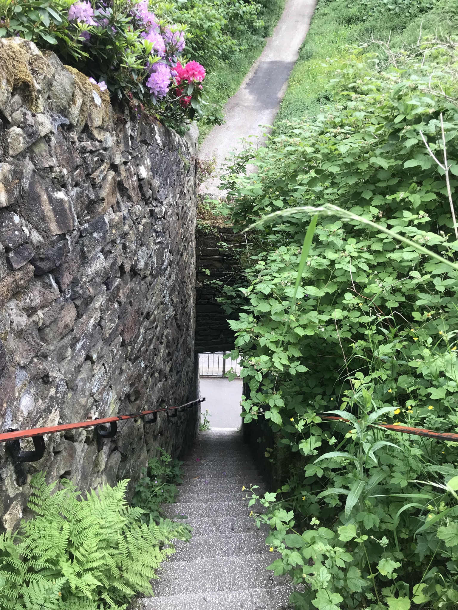
As with walk 23, this started in Bollington but this time headed south on the canal towards Macclesfield after once again climbing the seemingly vertical steps up from the road.  The navigation for the first 15km was to simply follow the canal and we set off at a good pace catching up on our various plans, training and what snacks we had bought with us.   Our conversation was interrupted as we walked through Macclesfield by a closed section of the towpath.  Again I kicked myself for not checking with the Canal and River Trust website but it looked like people had been walking past the fencing so, feeling thoroughly rebellious we carried on.  I thought our plan had been scuppered as we came across the blockage, a collapsed retaining wall just before the diversion re-joined the towpath, but we pulled on our brave-pants and scrambled round.  It was naughty and we shouldn’t have done it, but I really didn’t want to leave a mere 300 meters of path I’d have to drive all the way to Macclesfield to walk.  We skipped on quickly and soon our misdemeanour was forgotten.

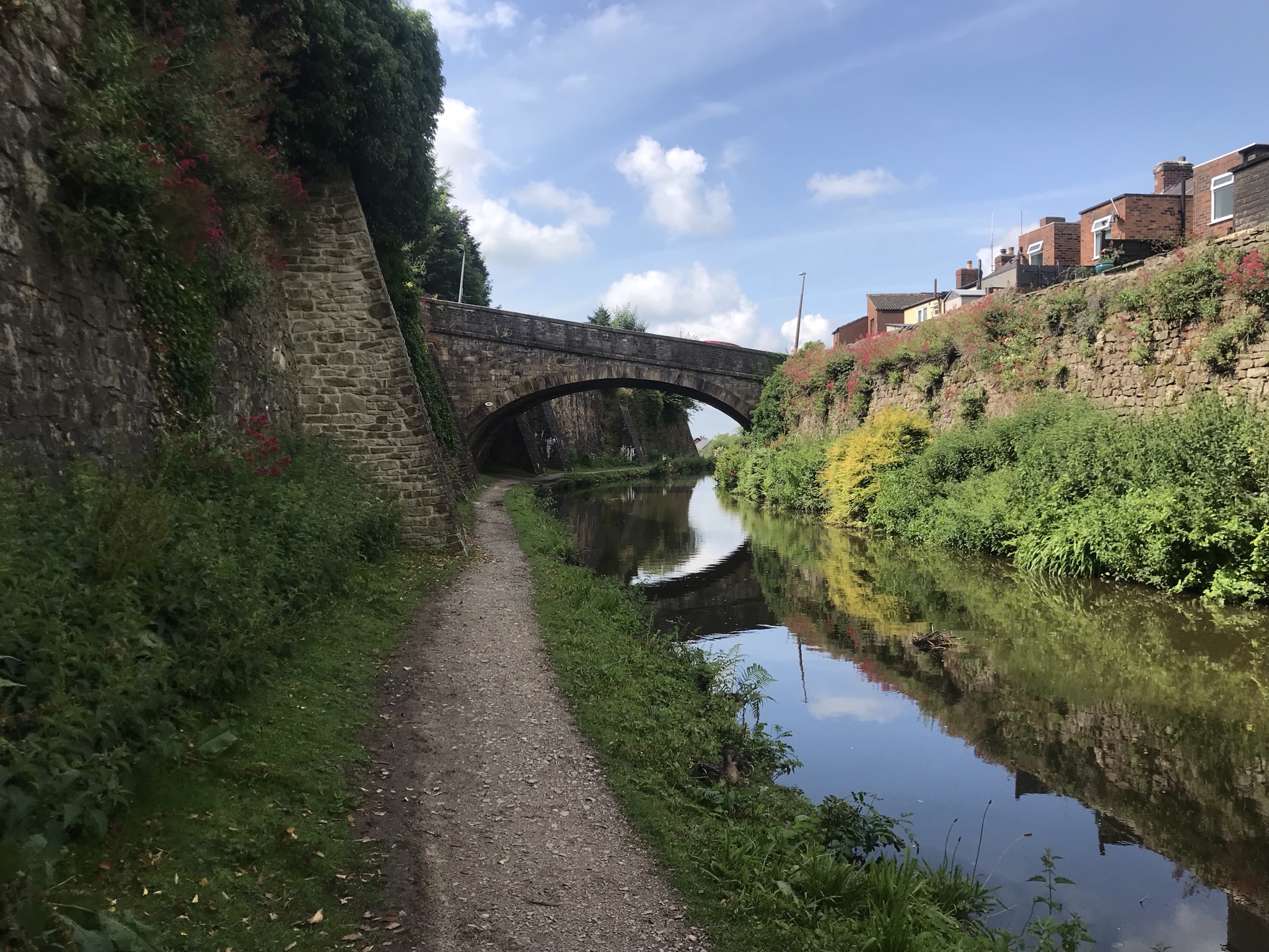
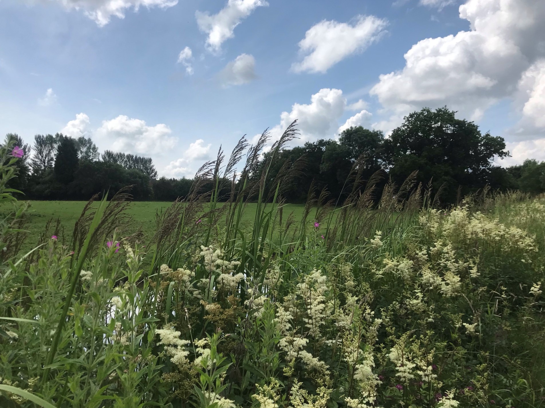
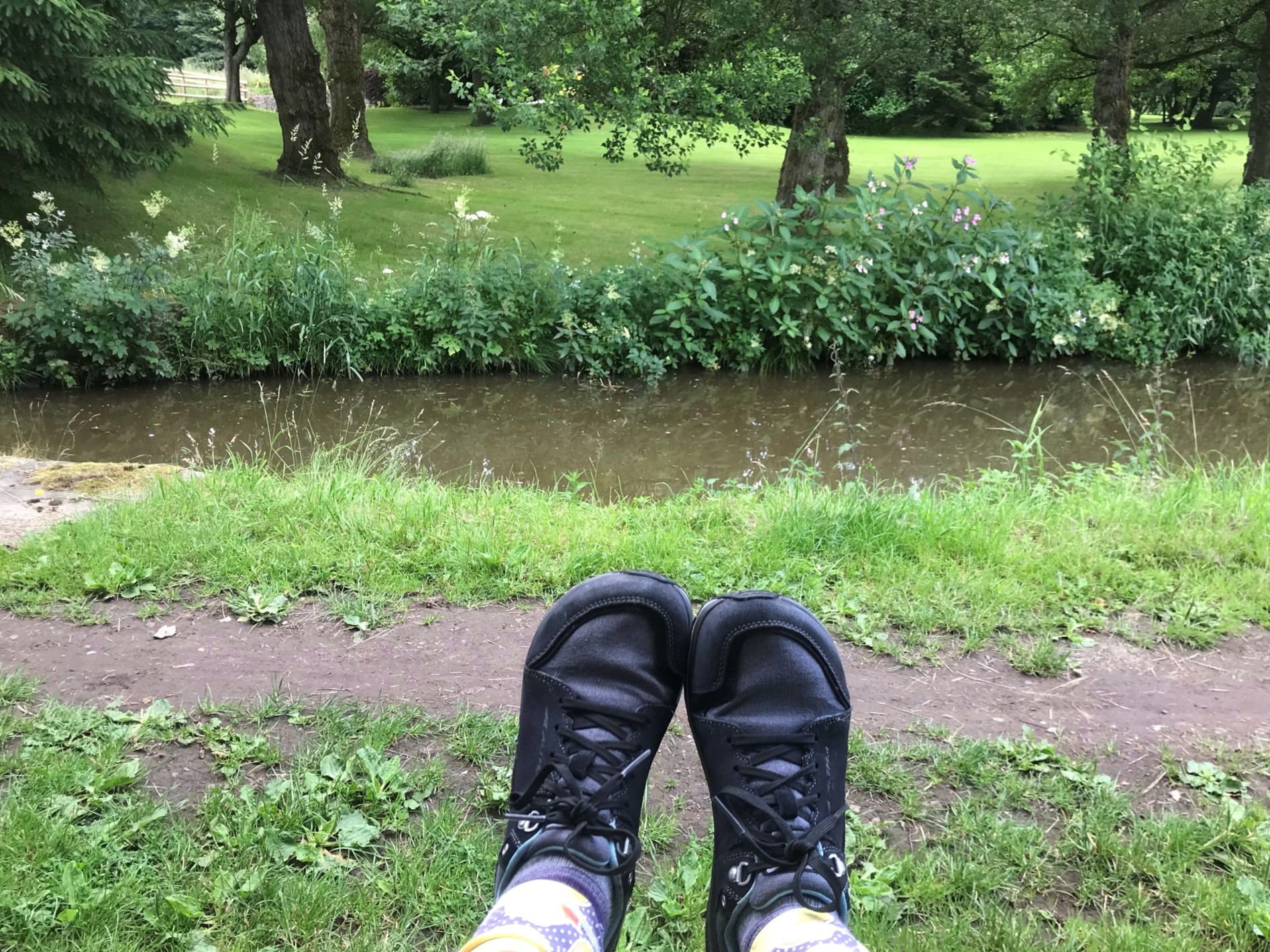
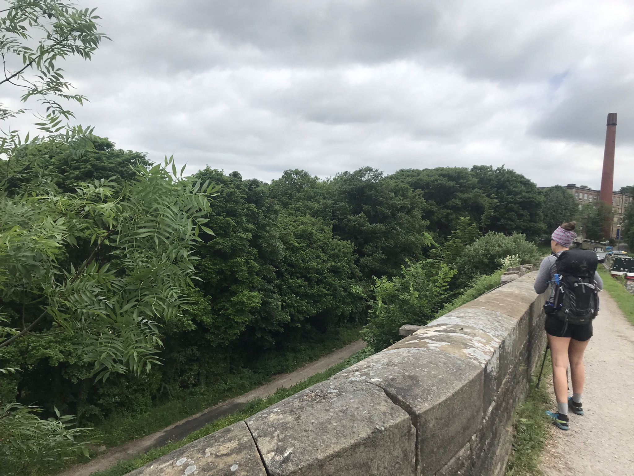
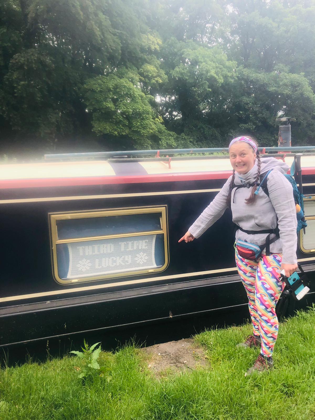
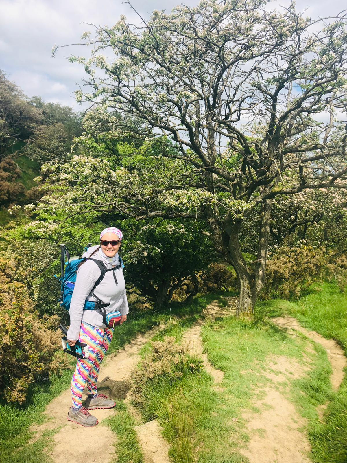
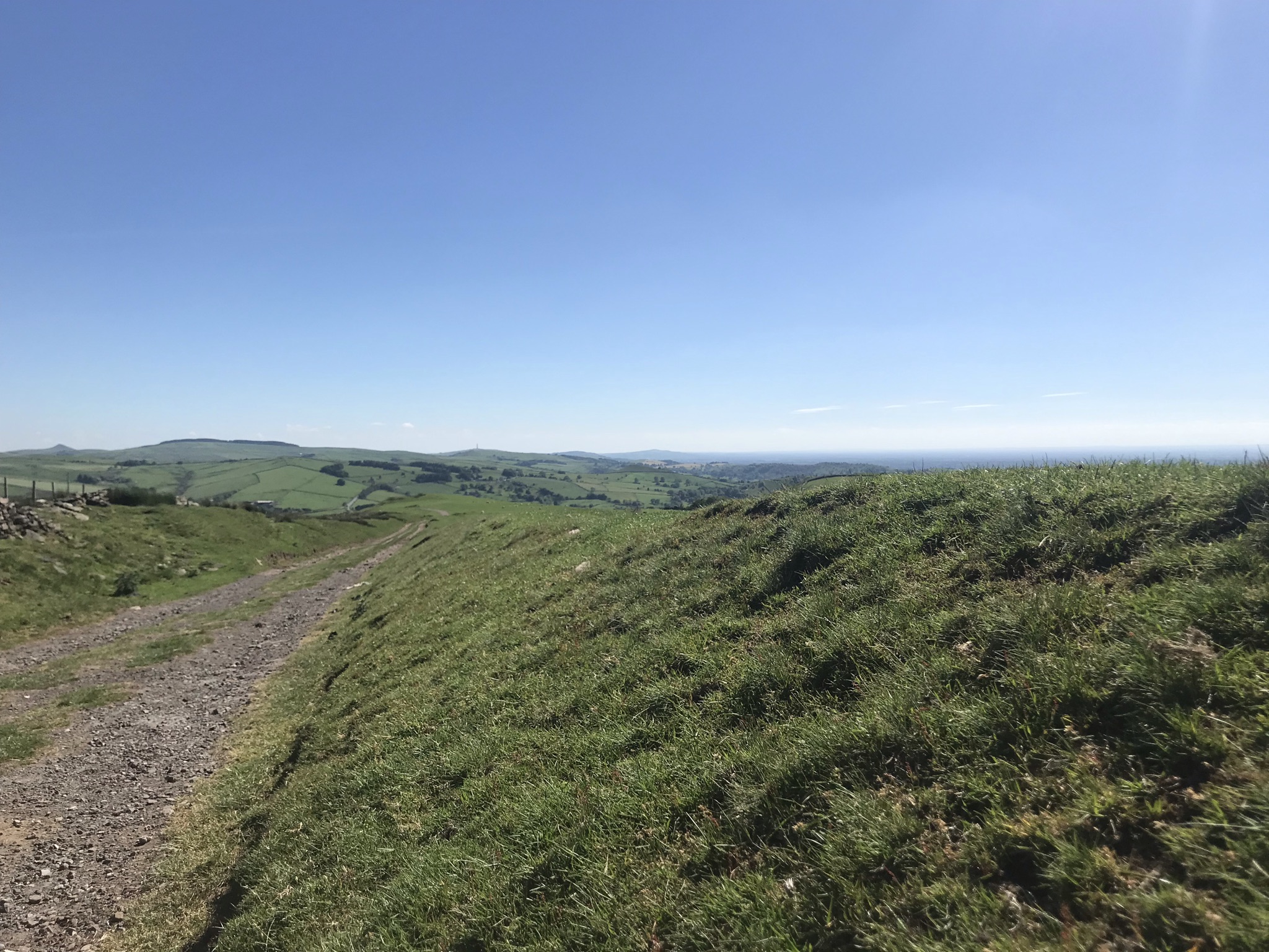
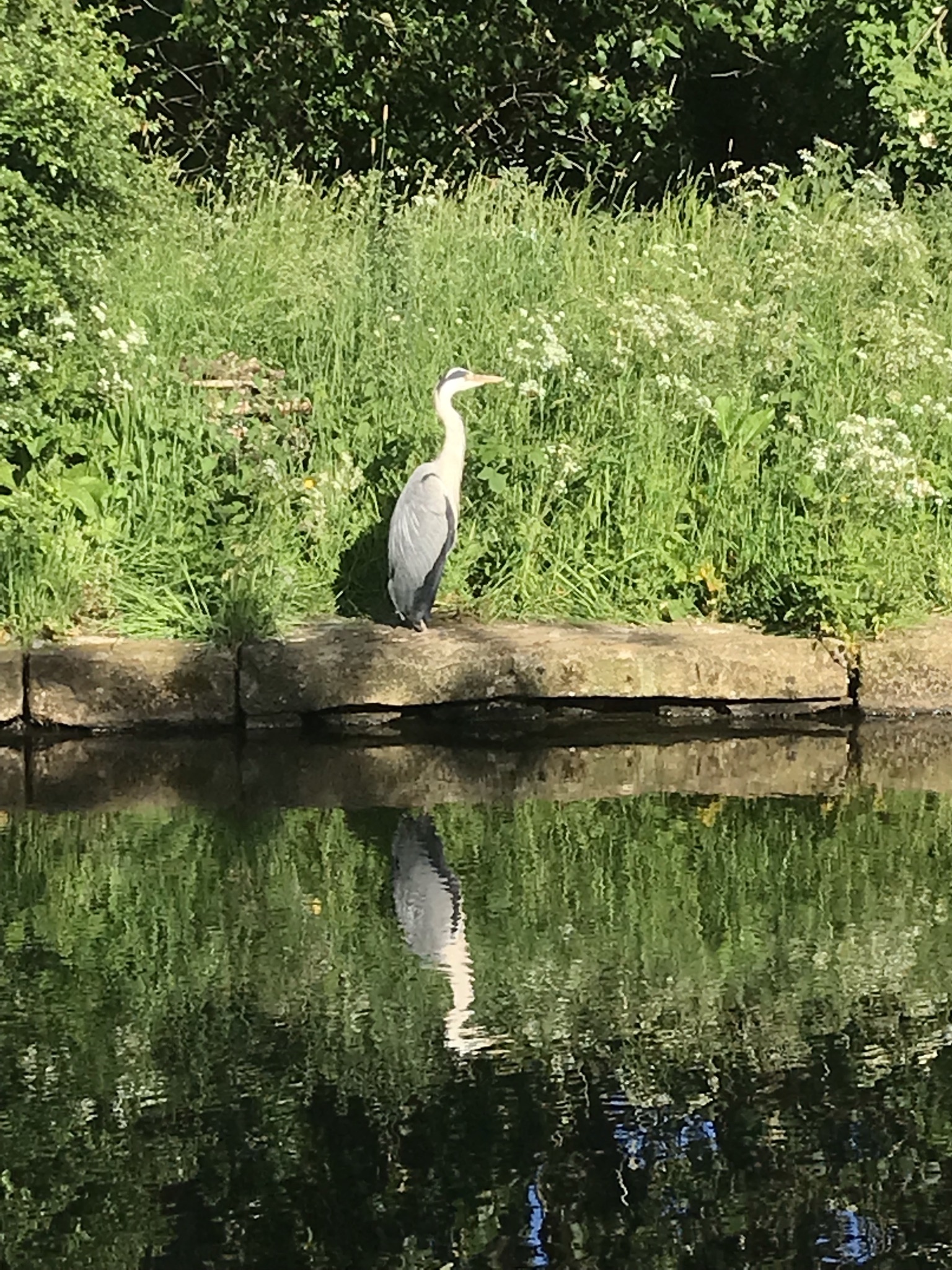
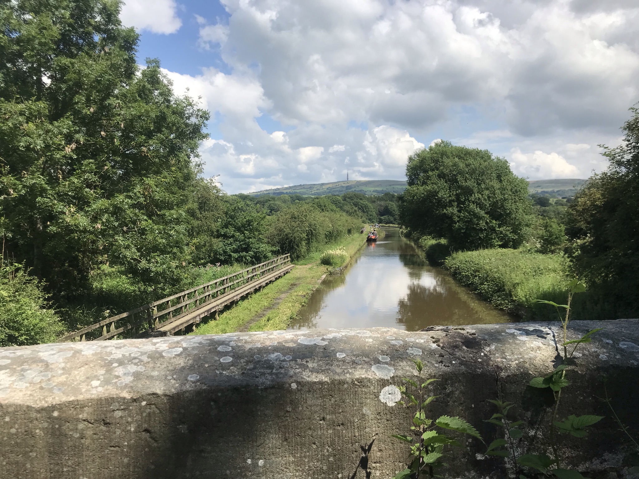
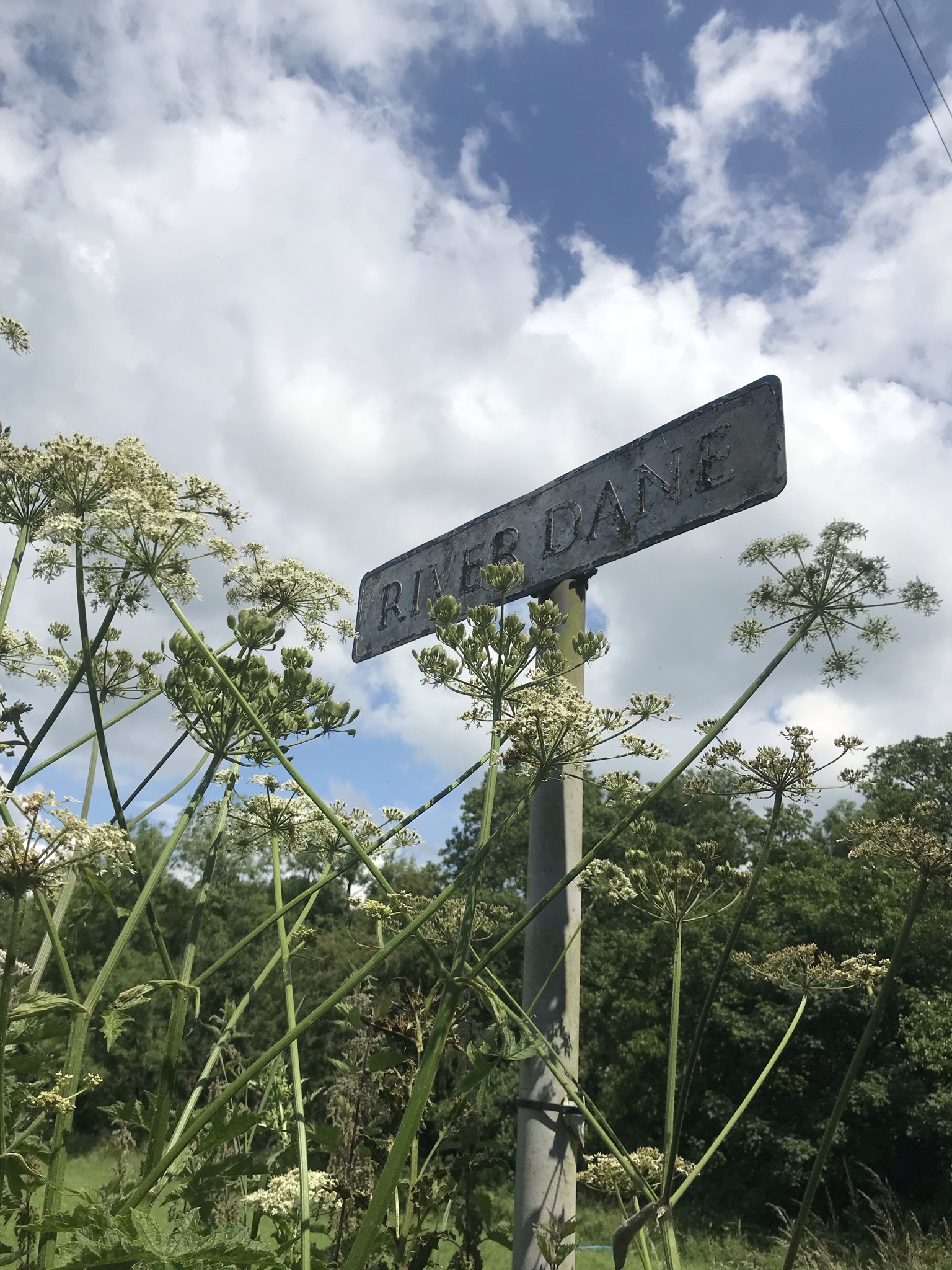
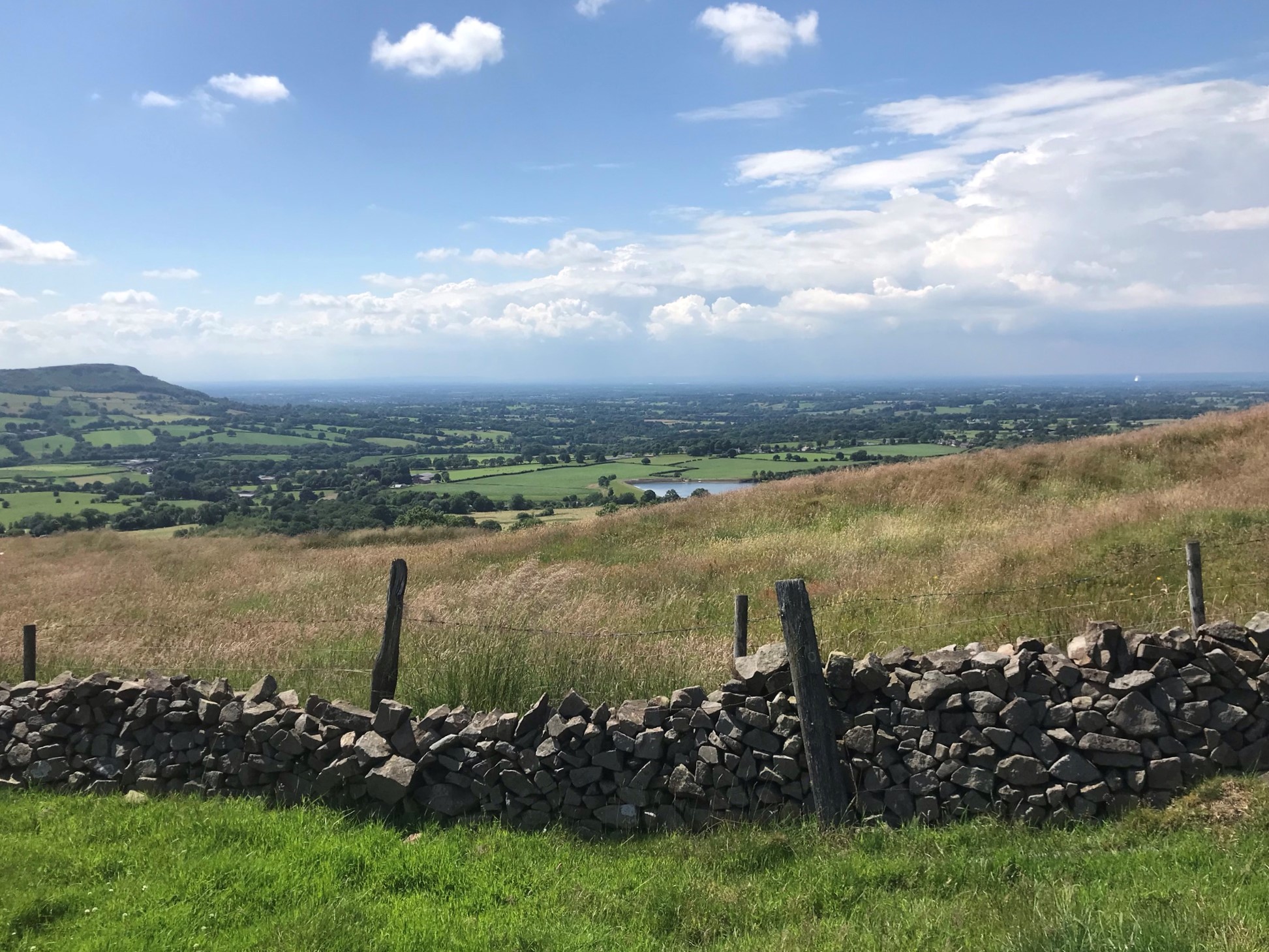
The canal side was in full summer bloom, flocks of Canada geese were lazing on the water and the sun was warm in a brilliant blue sky.  We stopped for snacks before passing a familiar narrowboat.  We saw Third Time Lucky walking north along the canal in the previous walk, at the time I still didn’t know if the twice-cancelled expedition to Svalbard would be going ahead in 2022 but, just the week before, I’d had confirmation that it was on.  So thank you Third Time Lucky for being a good omen!  After crossing the river Dane on a high aqueduct, it was time to leave the canal and walk a very short stretch of the Dane Valley Way before climbing hard to the highest point of the walk.  With the temperature creeping up an unexpectedly boggy section resulted in wet feet and very nearly soggy bottoms as well, but fast reactions and a few shrieks of laugher we leapt the worst bits and hoped our socks would dry.  I suppose it was expected given I was wearing my new walking shoes and we dried out walking along the good tracks along the ridge of Minn-End-Lane.

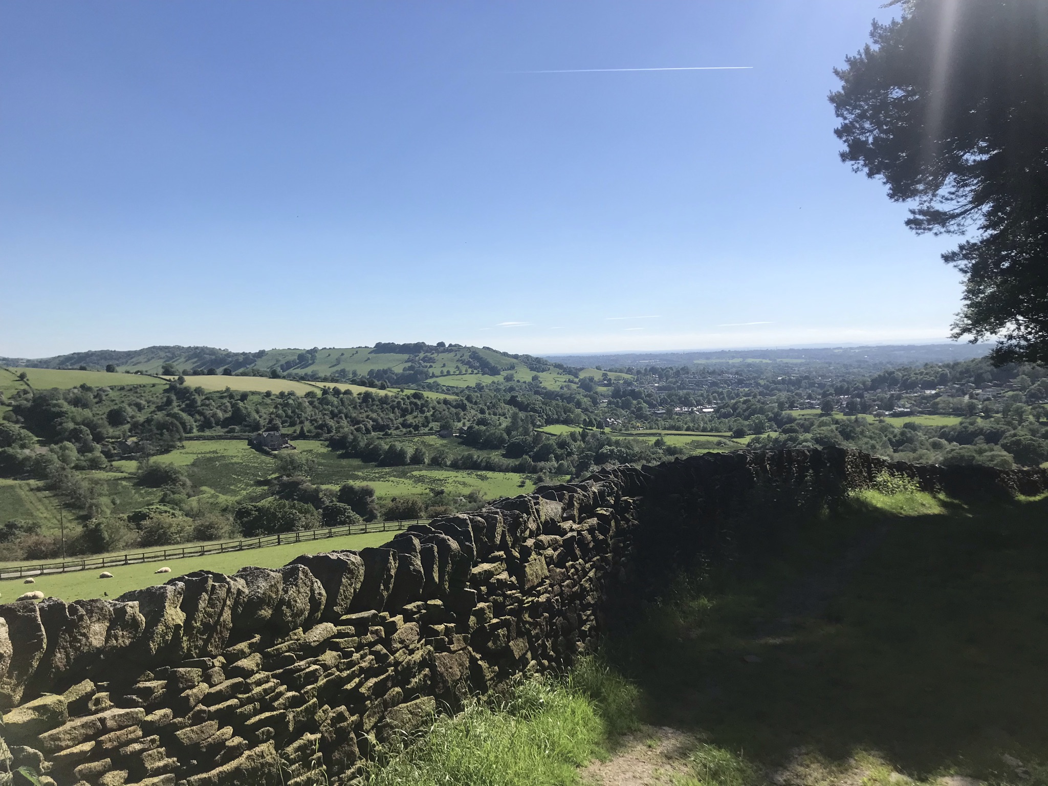
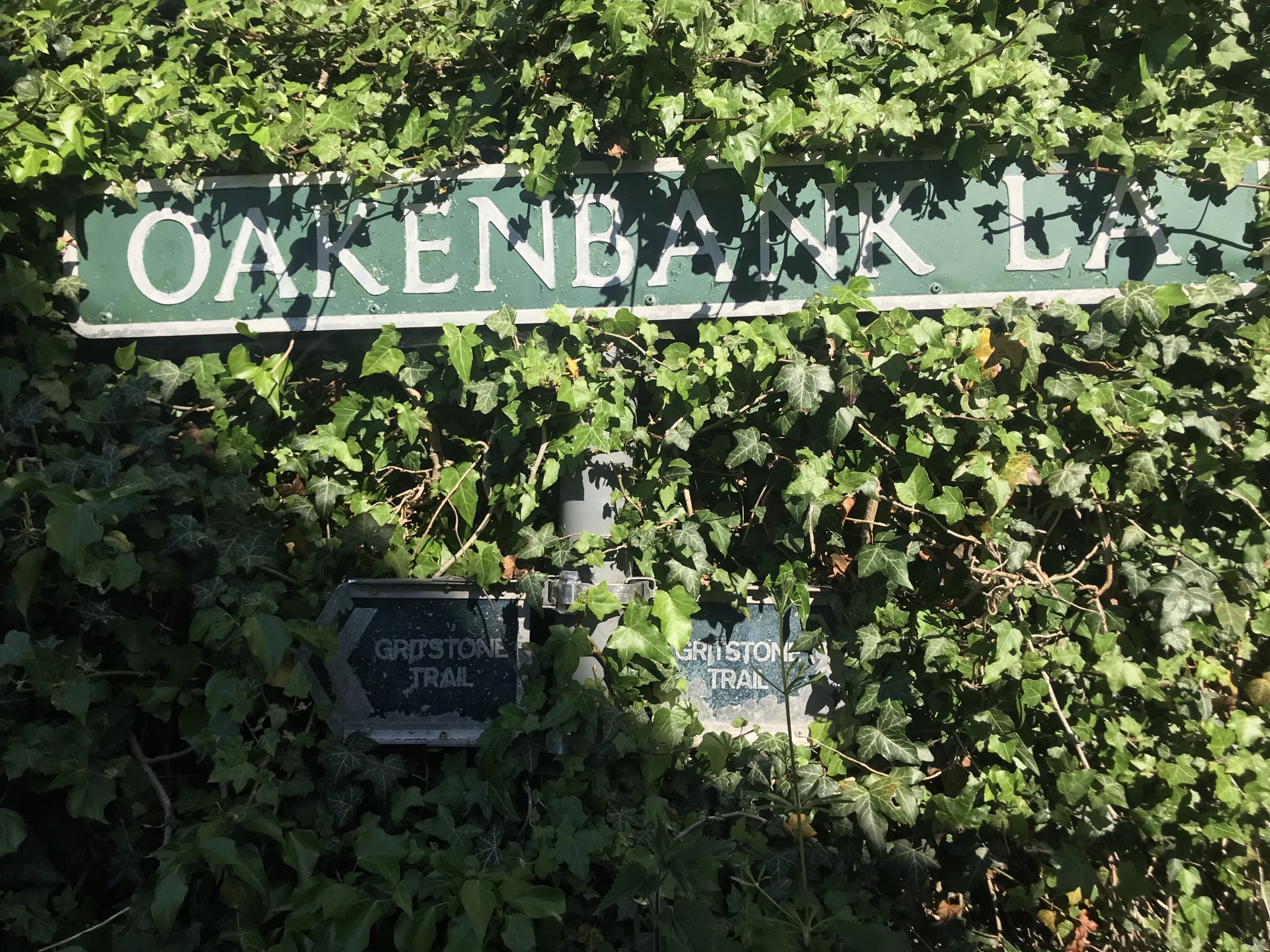
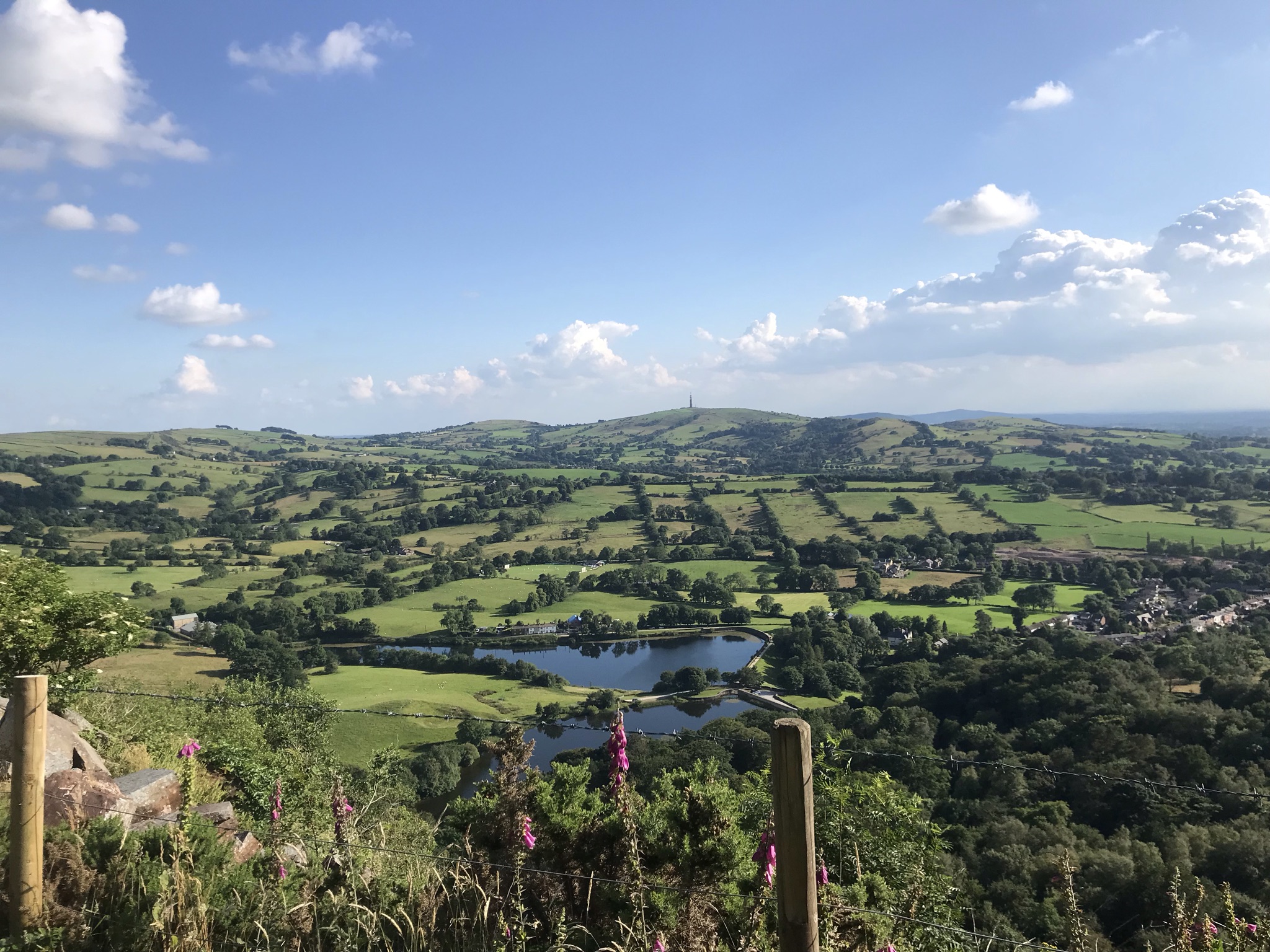
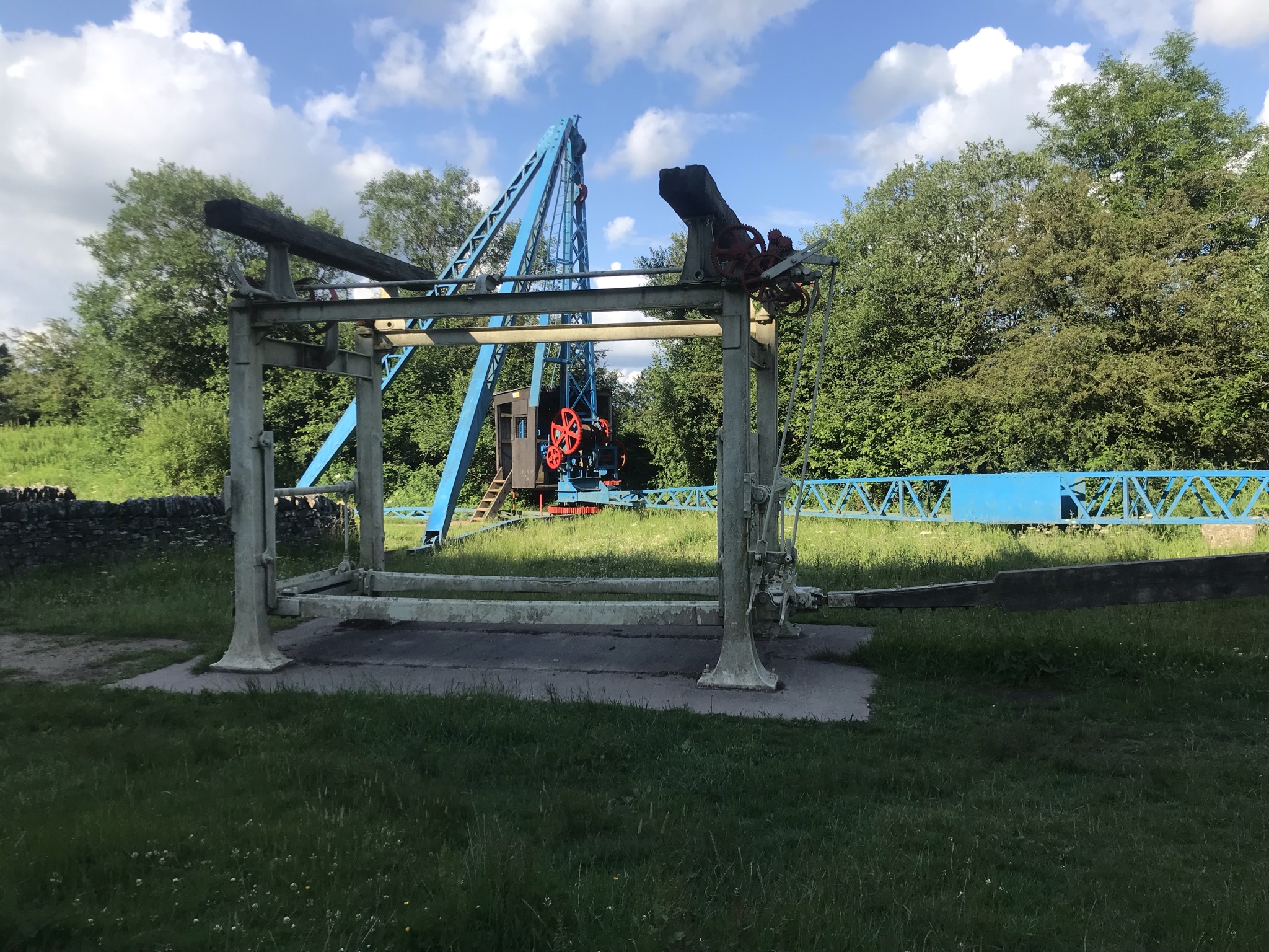
Croker Hill has a large radio mast on the summit which on a clear day can be seen all the way west on the Sandstone Trail.  I read a lot about the kindness of strangers while out on adventures, and eternal thanks goes to the guy fixing a barn roof who bought us water when we asked if we could use an outside tap.  Following behind us were two women training for the Gritstone Grind later in the year who were equally grateful for a top up of their bottles.  After the summit of Croker Hill, the path rolled along before dropping down to the reservoirs of Ridgegate, Bottoms and Teggsnose.  The second big climb of the walk from Teggsnose reservoir to the summit of Tegg’s Nose was through woods and the delightfully named Ward’s Knob.  Brightly painted historical quarry machinery lined the path as we dropped down before a final sting of steep climb back up to Kerridge Hill.  Here the route left the Gritstone Trail and, following the same path as the previous walk, we walked back along the canal and to the cake that awaited us in the van.

Video of the walk HERE

The route is available on the Ordnance Survey website HERE

Cheshire Challenge distance30.6km
Paths walkedCheshire Ring Canal Walk, Dane Valley Way & Gritstone Trail
Total distance40.4km
Total ascent1003m
OS mapExplorer 268
Date walkedJuly 2021
Time taken12 hours
CakeCherry Cake (again!)
Dance poseGeneral silliness
Total Cheshire Challenge distance completed442.3km (1500km total)
the stats
Clear blue sky above a stony track heading gently down hill between soft grassy banks. Hill can be seen on the horizon
Cheshire Challenge, Walk

Cheshire Challenge walk 23 – Cheshire Ring Canal Walk, North Cheshire Way and Gritstone Trail

Although this was not the longest walk so far in the Cheshire Challenge (that title is currently held by walk 21), this one scores high on the toughness scale; the eastern side of Cheshire rises up to the Peak District so it’s no surprise this 30km walk has the highest point (412m) and most ascent (814m) of the walks in the challenge so far.  In fact its over double the previous highest point of 172m on the Eddisbury Way.  I’ve also hit the milestone of walking 205km this year, the same as 2020 and climbed over 6000 meters over the whole challenge so far.  I am terrible for not celebrating my successes, but I think if I’d been told last year I would have achieved this I would not have believed it.

This walk started in Bollington and the mood was set climbing up the very steep Hole I’ th’ Wall steps leading up to the aqueduct on the Macclesfield Canal.  A quick stretching session to get the legs going and Sarah and I set off along the towpath.  This was an easy 5km to lull our legs into a false sense of security before we left the canal for the North Cheshire Way.  The North Cheshire Way stretches from Hooton station some 113km to Disley station and this walk would bring me close to the halfway compete mark.  The path lead through delightful flower meadows buzzing with bees, butterflies and beetles.  We stopped surrounded by buttercups for a snack before the walk pulled steadily upwards and into rougher hillier countryside.  Our attention was grabbed by shearers working in a field next to the drystone wall bordered track.  The speed at which each sheep was caught, clipped and released was impressive, with the neatly shorn sheep trotting off to graze unfazed but significantly cooler on a hot day.

My heart skipped in delight at being in this upland countryside again, I miss it and I want to get back to it.  As much as I am enjoying this Challenge, I think I’ll take a winter break when the low land fields turn to a clarty miserable mess and instead head for the mountains and moorlands.

The route follows drystone walls before dropping steadily back off the hills.  Here a dilemma arises.  The North Cheshire Way splits into two options, one that stays low hugging the base of the hills or one that climbs back up to the National Trust Lyme Park.  Both are officially the North Cheshire Way, so do I have to do both?  Saving the conundrum for another day, I had opted for the hillier route, so we climbed steadily up on good paths through woodland with the last of the wild garlic filling the air.

Lyme Park was everything you’d expect from a big National Trust stately home on a sunny day, neat carparks and paths, mown grass full of picnickers, refreshment kiosks and perfectly manicured gardens.  Stopping only briefly for a photo, we set off up Cage Hill with the requisite folly at the top which rewarded us with big views over Manchester and almost all the way to North Wales.  Another steady down hill section past red deer and through large gates completed the experience.  Being a stickler for accuracy, I made us walk down the steps to Disley station to the end of the North Cheshire Way before turning round and starting the Gritstone Trail.  The Gritstone trail is twinned with the Sandstone Trail, it runs sort of parallel-ish on the eastern limits of Cheshire and is only 5 km longer, I’ll be walking a fair stretch of it to train for walking the Sandstone Trail in a day next month.

Walking gently up bridleways to a rickety brick bridge with a safer timber bridge alongside, the Gritstone Trail also splits, one option heading down to Lyme Park and a second staying higher.  It was here I made a major navigation error, or rather didn’t check the automatically generated ‘snap to path’ feature on the OS website.  I didn’t spot that the route I was following up to the road was not the Gritstone Trail, rushing to get ready the evening before I didn’t see the error and by the time I got the ‘this does not feel right’ feeling we were too far up the road to want to turn back.  So I have an orphan path to walk – though with both the Gritstone Trail and North Cheshire Way having alternative routes I can make a decent walk of it.  Hey ho!  The two options for the Gritstone Trail rejoined at the carved anglian crosses known as the bow stones.  Dating from the 8th to 10th century these crossed served many purposes as boundary posts, way markers or places of worship.

From here the path up to the highest point on the walk is on a wide windswept hill with sheep grazing and broken drystone walls providing little protection, fine on a clear day but prime territory for horizontal rain in winter.  A detour for trig baggers can be made here at Sponds Hill, but I was in heads-down mode to catch up on time.  We stopped at the viewpoint at the highest point and even with an afternoon haze to the air I could pick out the Sandstone ridge and North Wales across the plains of Cheshire.  A steady down hill 5km, with the Matterhorn-esque Shutlingsloe prominent in the distance, brought us to the foot of the big pull of the day – White Nancy

White Nancy is the name of the conical folly on Kerridge above Bollington. It was built to commemorate the battle of Waterloo and over the years has been painted to observe many different events from a red poppy to the Olympic rings.  Approaching it from the north on the Gritstone Trail means gaining 100 metres height in an 800 metre distance, all that leg work in training sessions paid off and we managed to climb it in one hit; albeit with hearts pounding and legs complaining bitterly.  Though its possible to miss it out and walk back to Bollington the view is worth the effort.  A kilometre further along the Saddle of Kerridge this walk and the Gritstone Trail parted company and good footpaths lead back to the canal.  Retracing our steps down the Hole I’ th’ Wall steps was the final test for our legs but the reward of cake more than made up for it.

Video of the walk HERE

The route is available on the Ordnance Survey website HERE

Cheshire Challenge Distance27km
Paths walkedCheshire Ring Canal Walk, North Cheshire Way and Gritstone Trail
Total distance30km
Total ascent814m
OS mapOS Explorer OL1 and 268
Date walkedJune 2021
Time taken8 hours 20 minutes
CakeCherry sponge
Dance poseMore 90’s rave classic moves – stack those shelves!
Total Cheshire Challenge distance complete:412km (1500km total)