After our big walk, this was to be a nice short 20km. Huh, never thought I’d write that a few months ago!
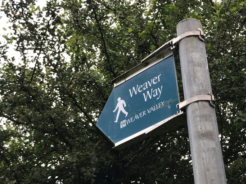
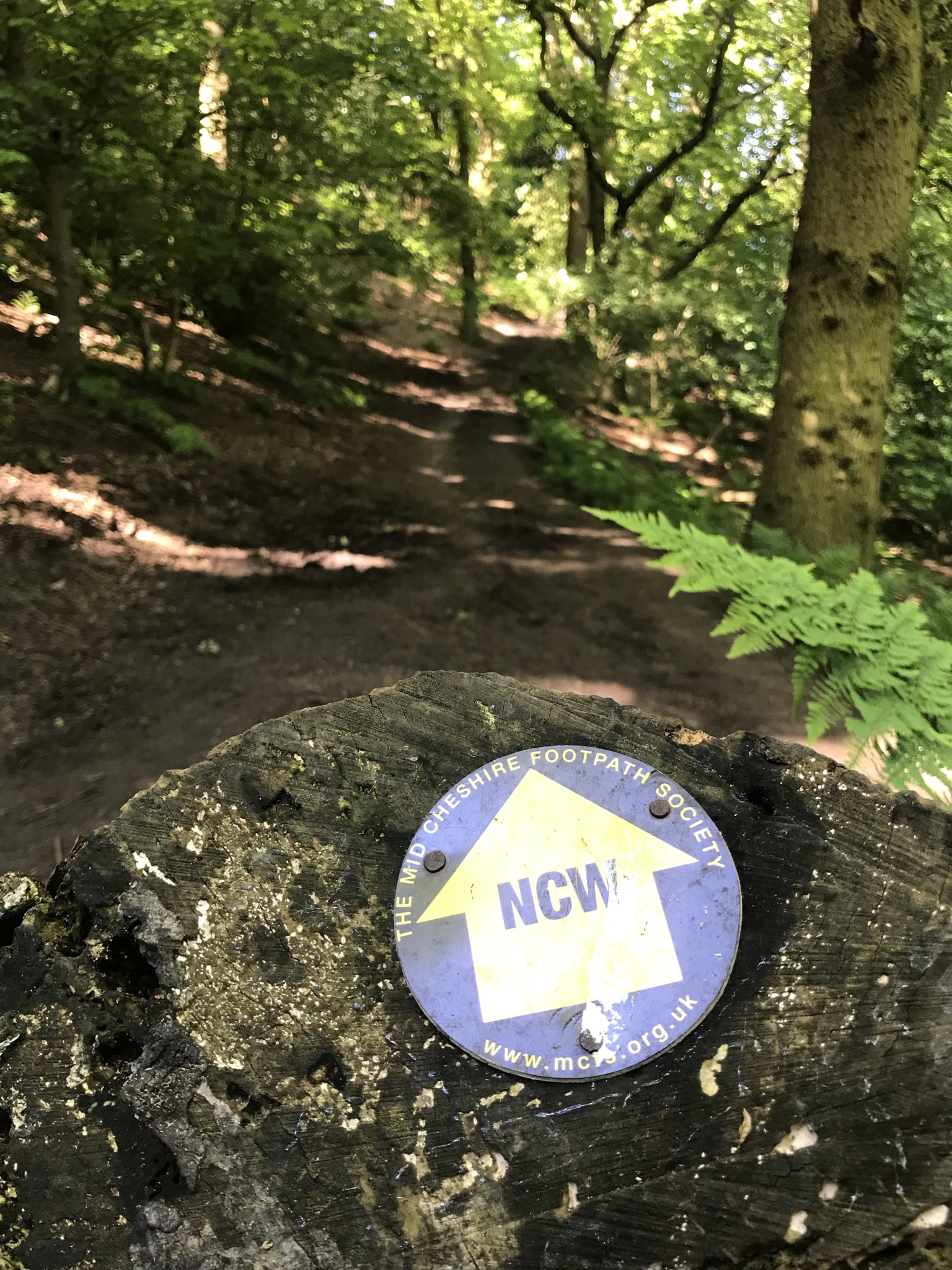
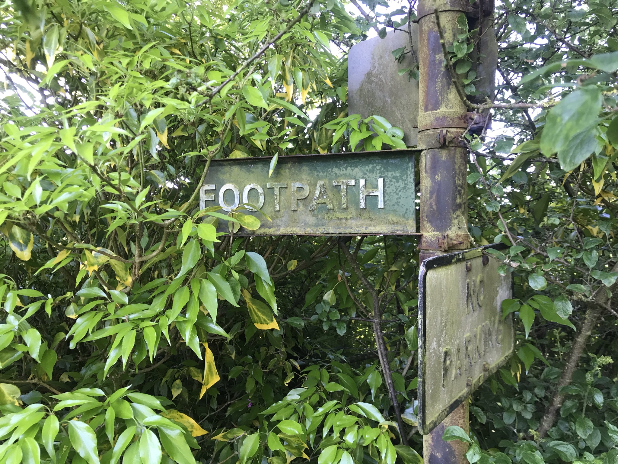
The walk picks up a section of the North Cheshire Way, Sandstone Trail and a little of the Weaver Way. This corner of Cheshire around Frodsham and Helsby has quite a few overlapping paths which makes the route planning a bit tricky and a minor detour was needed so I could fully tick off a section of the North Cheshire Way.
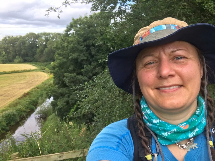
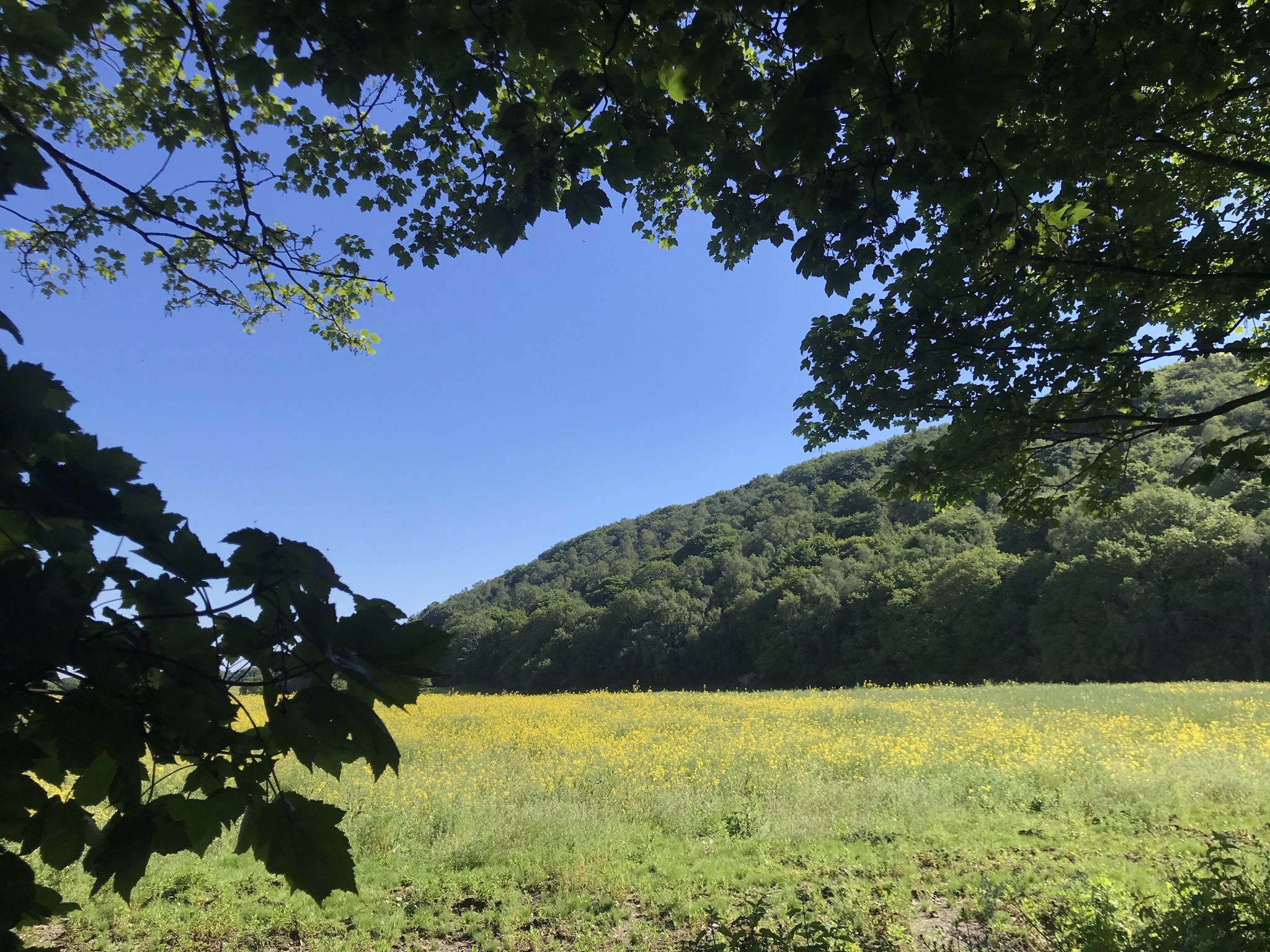
We started at Frodsham station, the route is a wiggly circular taking in the sandstone ridge with big views over the Mersey and a section along the river Weaver which was engineered to be navigable in 1732. The weather was gloriously sunny so I bravely left my waterproof trousers at home and took sunscreen and a hat instead. Leaving kit behind always makes me a tad nervous, especially waterproofs even though the forecast was sunny all day and I was such a short distance from home rescue was only a call away; but nervousness is a good prompt to make me check if I am really sure I should leave something behind or not.
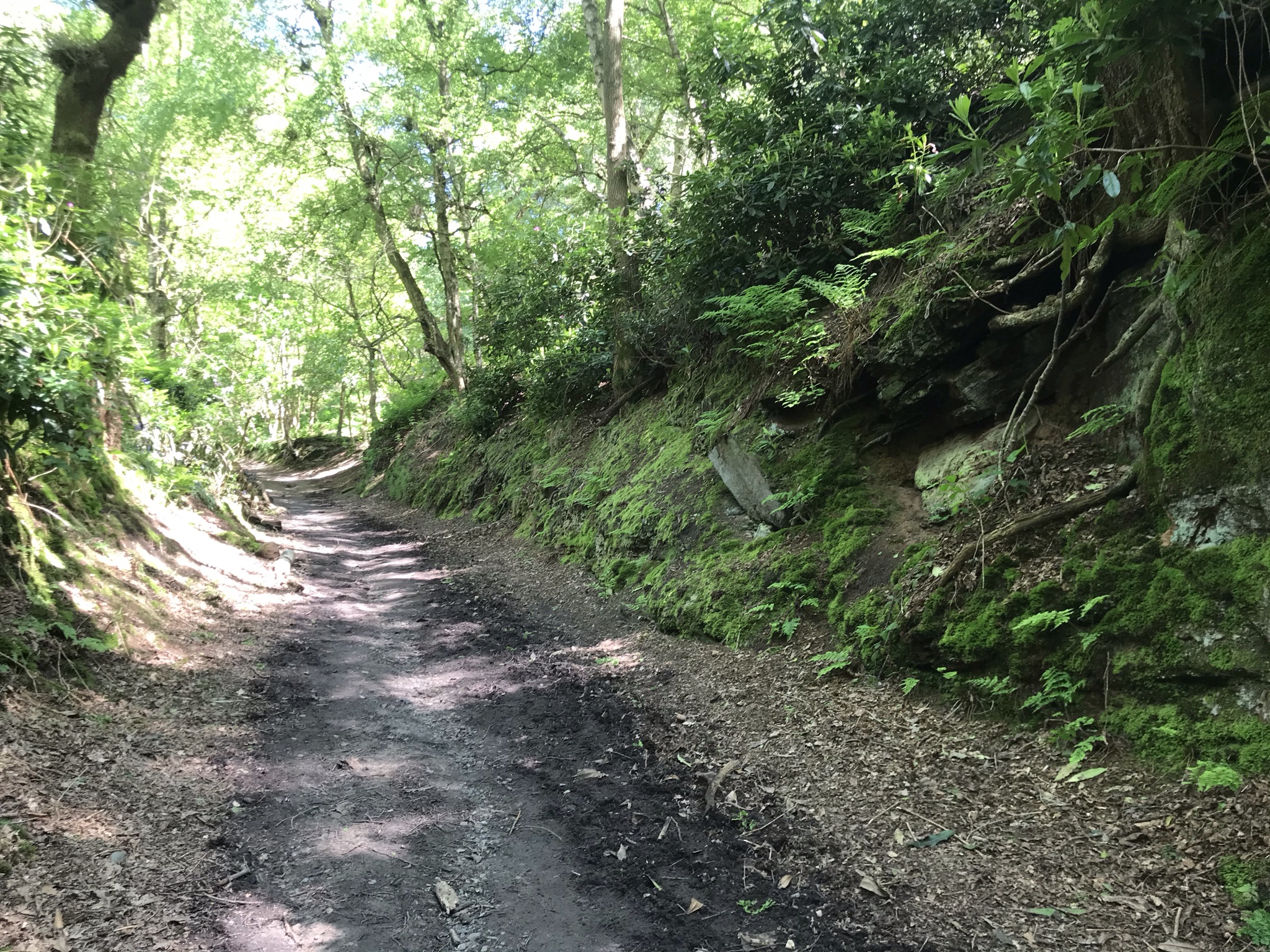
Leaving the station, the route walk hugs the bottom of the ridge, slowly climbing up through the trees. It’s a very pretty place to walk and lovely to explore the many paths among the broadleaf woods and sandstone outcrops some with ornately carved graffiti from over a century ago.
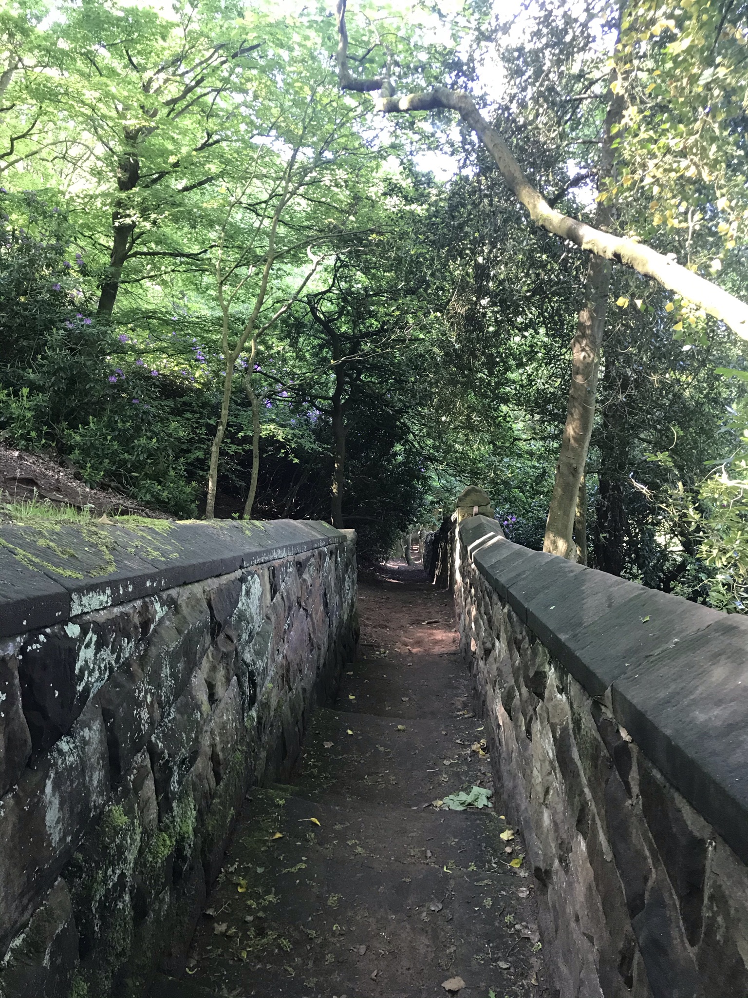
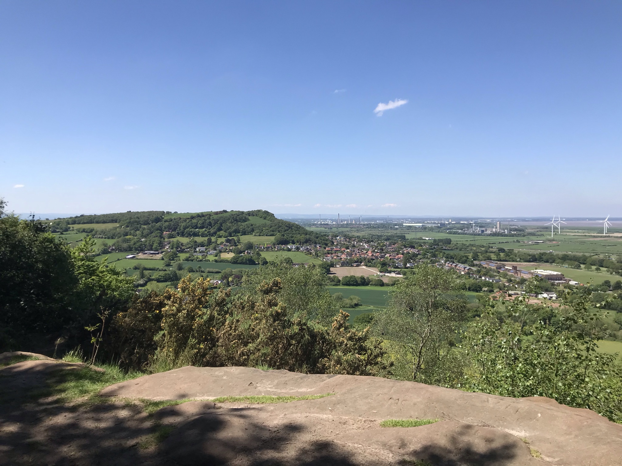
But we were on a mission and joined the North Cheshire Way at an impressively solid flight of stone steps. The route continues to hug the wooded hillside for a couple of kilometres then pops back out into the sunshine heading for Helsby. After a steep climb through more woods, we came to the top of the cliffs above Helsby. A haunt of local climbers, its often soft, friable sandstone is not to be underestimated and requires significant brave-pants to be worn on the harder grades.
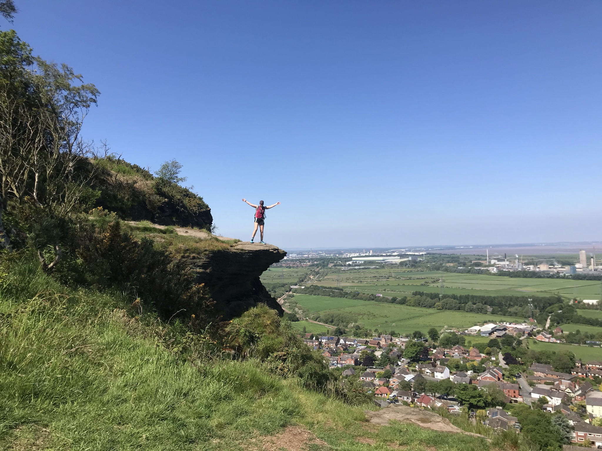
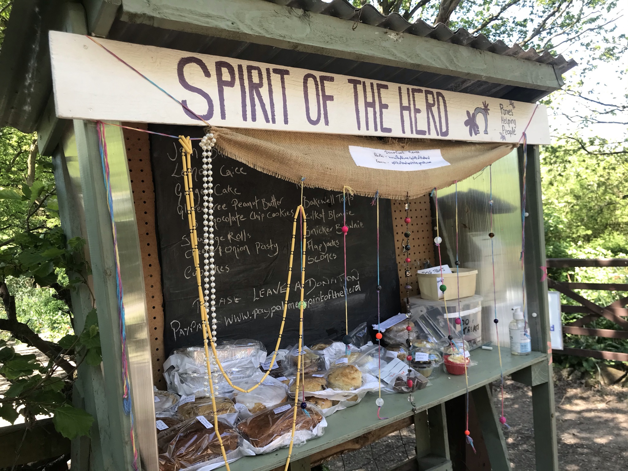
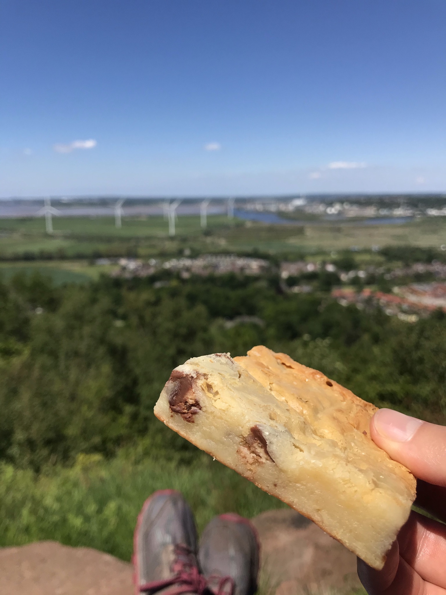
At the top of Helsby hill is a trig, which we visited on walk 6 so we gave it another hug (all trigs need a hug) and stopped for a snack. The North Cheshire Way now follows the same tracks as the Longster Trail for a few hundred metres before heading south and on paths I have already logged in the challenge. A very short stretch on the Longster Trail, again already logged, and the route switches to follow the track of the Sandstone Trail. The strategically placed Spirit of the Herd pony sanctuary’s cake stall was too much temptation to resist and having discussed in depth our plans to eat a little better on our walks we stuffed our selves with fudge and brownies. Well its for a good cause and very delicious.
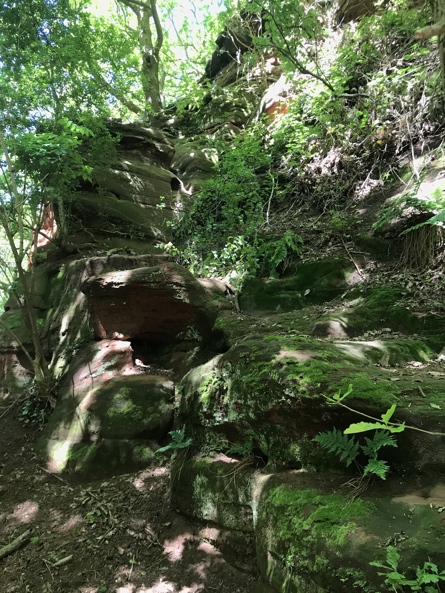
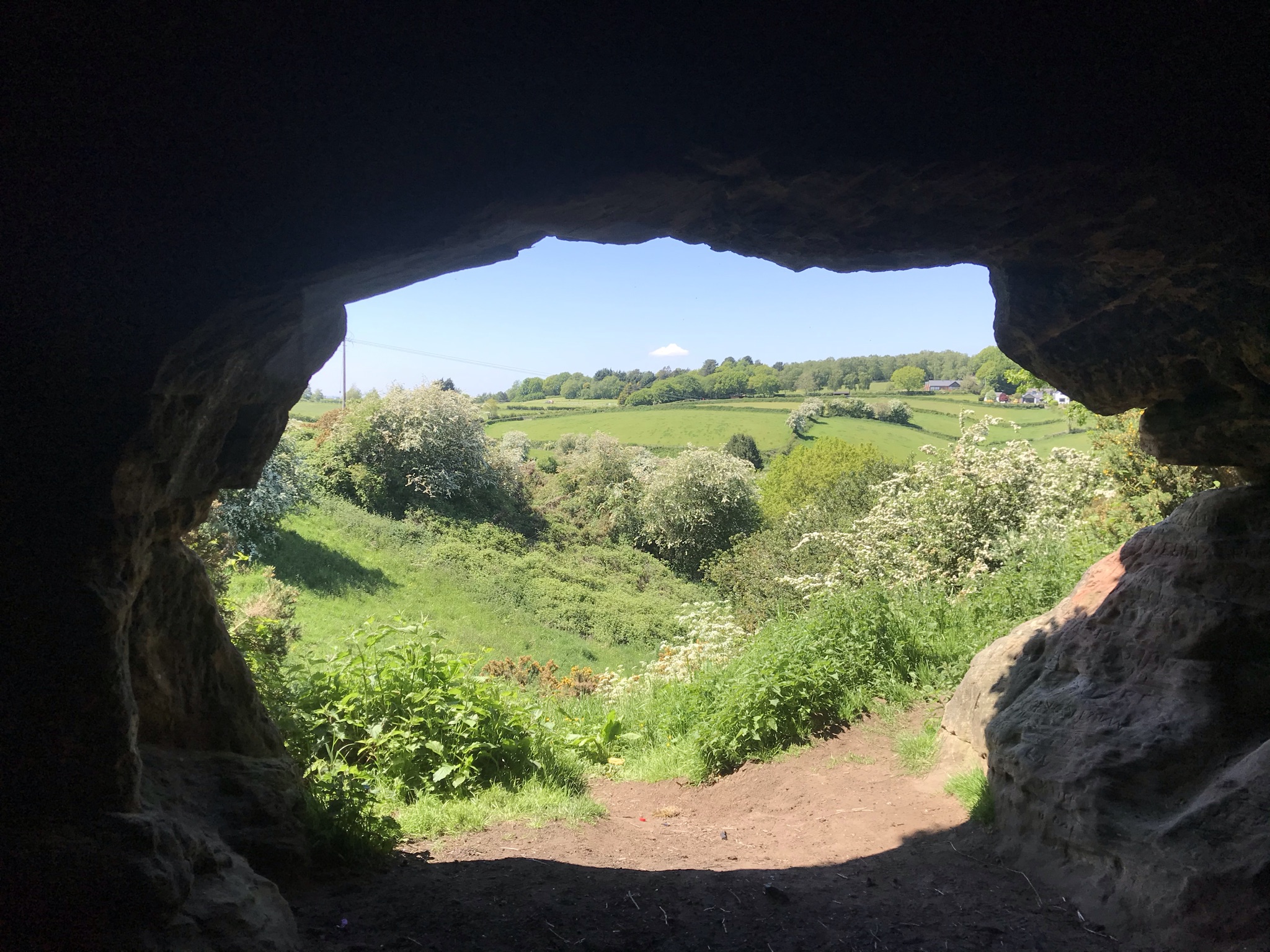
The Sandstone Trail is one of, if not the best waymarked path so far on the challenge and the map was forgotten until we got to Baker’s Dozen, a flight of steel steps from Dunsdale Hollow which replaced the very worn Jacob’s ladder steps carved into the sandstone. It was here we took a short detour to pick up the North Cheshire Way before retracing our steps under the cliffs covered in carved graffiti, some dating back hundreds of years. Now officially counting towards the North Cheshire Way, the route popped out at the memorial high above Frodsham with more long views to North Wales and Liverpool.
Now the walk headed down off the ridge and into lush meadows and arable fields before arriving at the banks of the river Weaver. Canada geese, moorhens and mallard ducks were abundant in the reeds in the banks and a long-abandoned lock. At the road bridge we headed back into town and ate even more cake sat in the sun. Perfect!
Video of the walk HERE
The route is available on the Ordnance Survey website HERE
| Cheshire Challenge distance | 15.8km |
| Path walked | North Cheshire Way, Sandstone Trail and Weaver Way |
| Total distance | 20km |
| Total ascent | 609m |
| OS map | OS Explorer 267 |
| Date walked | May 2021 |
| Time taken | 6 hours 20 minutes |
| Cake | Kit Kat blondie from Spirit of the Herd AND cherry sponge cake! |
| Dance pose | 90’s rave… |
| Total Cheshire Challenge distance completed: | 385km (1500km total) |