

This was an intentionally shorter walk as I have volunteered to test the route survey form for the Slow Ways project. I needed to stop and take measurements of the path and make notes so my overall pace would be much slower than normal.
The forest is becoming a bit of a popular film location and there was a small encampment of shiny white trailers as I walked through the old carpark, I curbed my curiosity and upped my pace as I walked past. This short section is along the same path as the Delamere Loop and I had to stop myself on autopilot missing my turn. The whole walk I was keeping alert for the factors that Slow Ways project want to know, all relating to the accessibility of the paths. I started volunteering for Slow Ways when it started early 2020 and needed people to map possible routes, the ones I did are all back in the East Riding of Yorkshire and one day I will go and walk them.
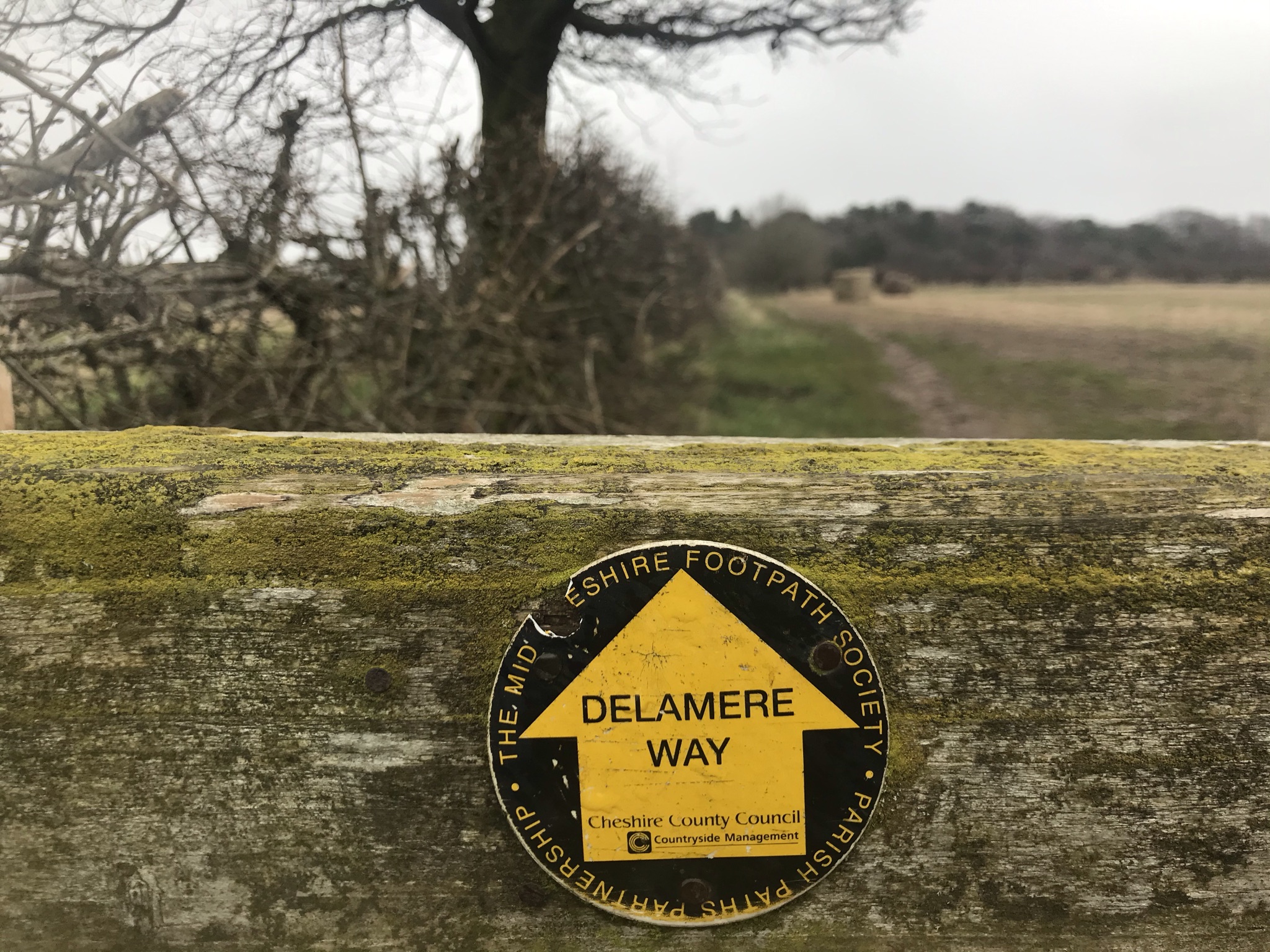

After the forest the route winds its way into the back of Norley, then on to Cuddington. I take the notes I need to, realising that my bright idea of a small lightweight tailors tape measure rather than a heavy retractable DIY one was not so clever after dragging it through the mud a few times. Before I mapped out the whole Cheshire Challenge and the pattern of the paths crossing was clear, the routes I planned were good walks but not terribly efficient in making sure I covered all the paths I needed to. For this walk, it meant a short stomp along the road to pick up where I had left the Delamere Way in walk 3, then turn round and walk back to turn this walk into a decent circular.

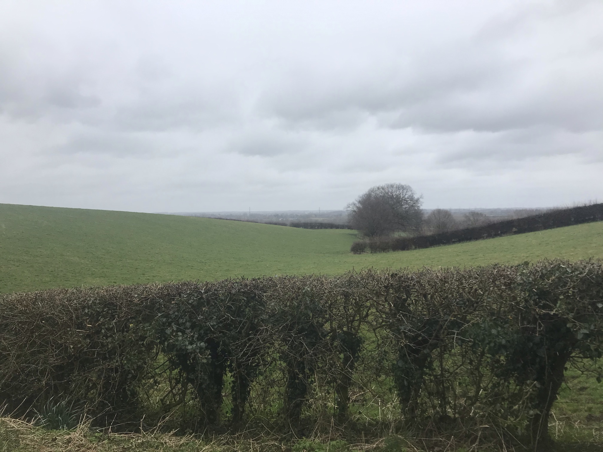
After Cuddington, the walk picks up the top of the Oakmere Way. Following the railway along a permitted path and around the edge of the tree nursery it crosses the road and back onto the now very familiar paths around the quarry. The weather had closed in and the rain became persistent, but I like walking in the rain. Head down and dry inside my waterproofs, I marched homeward.
Video of the walk HERE
The route is available on the Ordnance Survey website HERE
| Cheshire Challenge distance | 6.3km |
| Paths walked | Delamere Way |
| Total distance | 16km |
| Total ascent | 215m |
| OS map | OS Explorer 257 |
| Date walked | March 2021 |
| Time taken | 5 hours |
| Cake | Cherry cake |
| Dance pose | Tap dance |
| Total Cheshire Challenge distance completed | 256km |
