

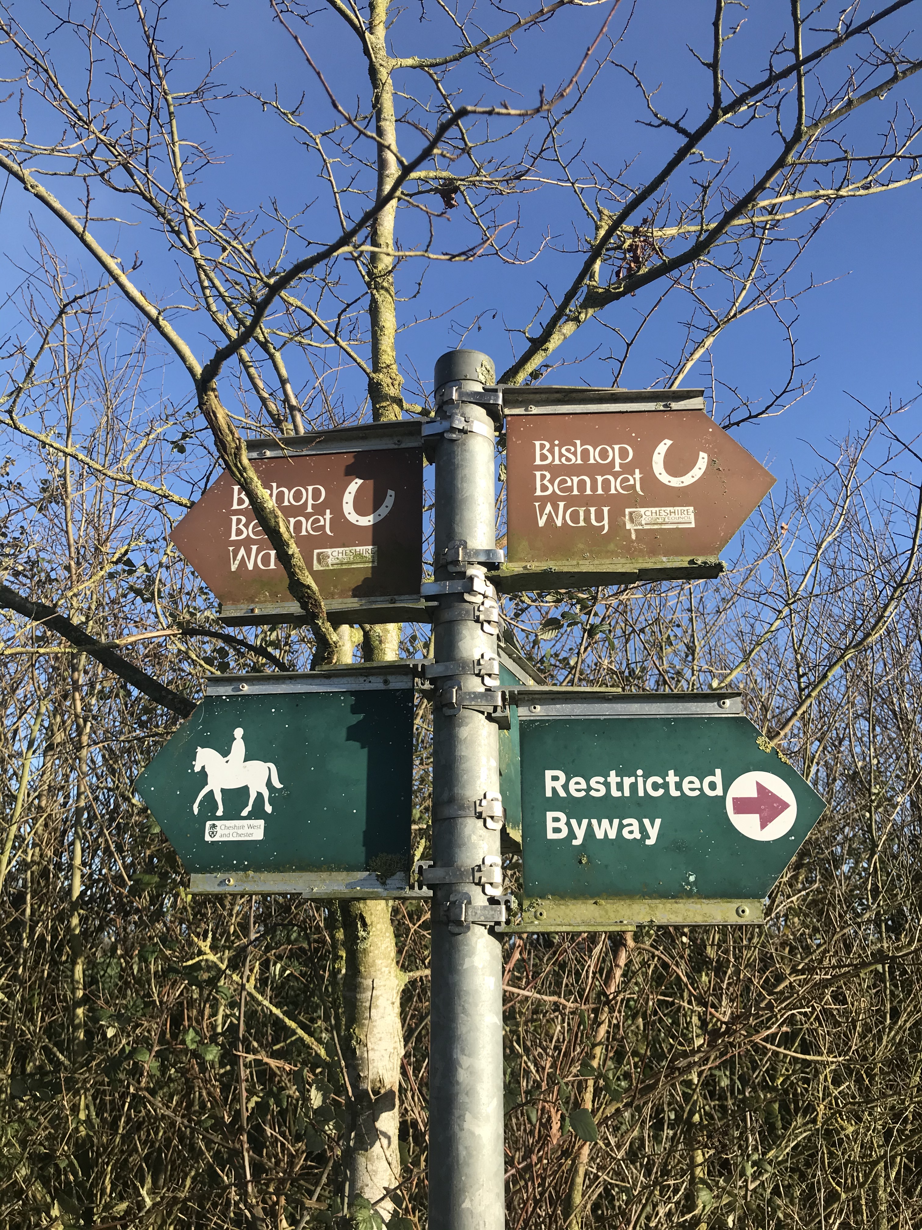
OK, so the Bishop Bennet Way has redeemed itself a bit with this section. The route starts at Churton and is mostly on byways and bridleways, there was still road walking to be done but on much quieter stretches.
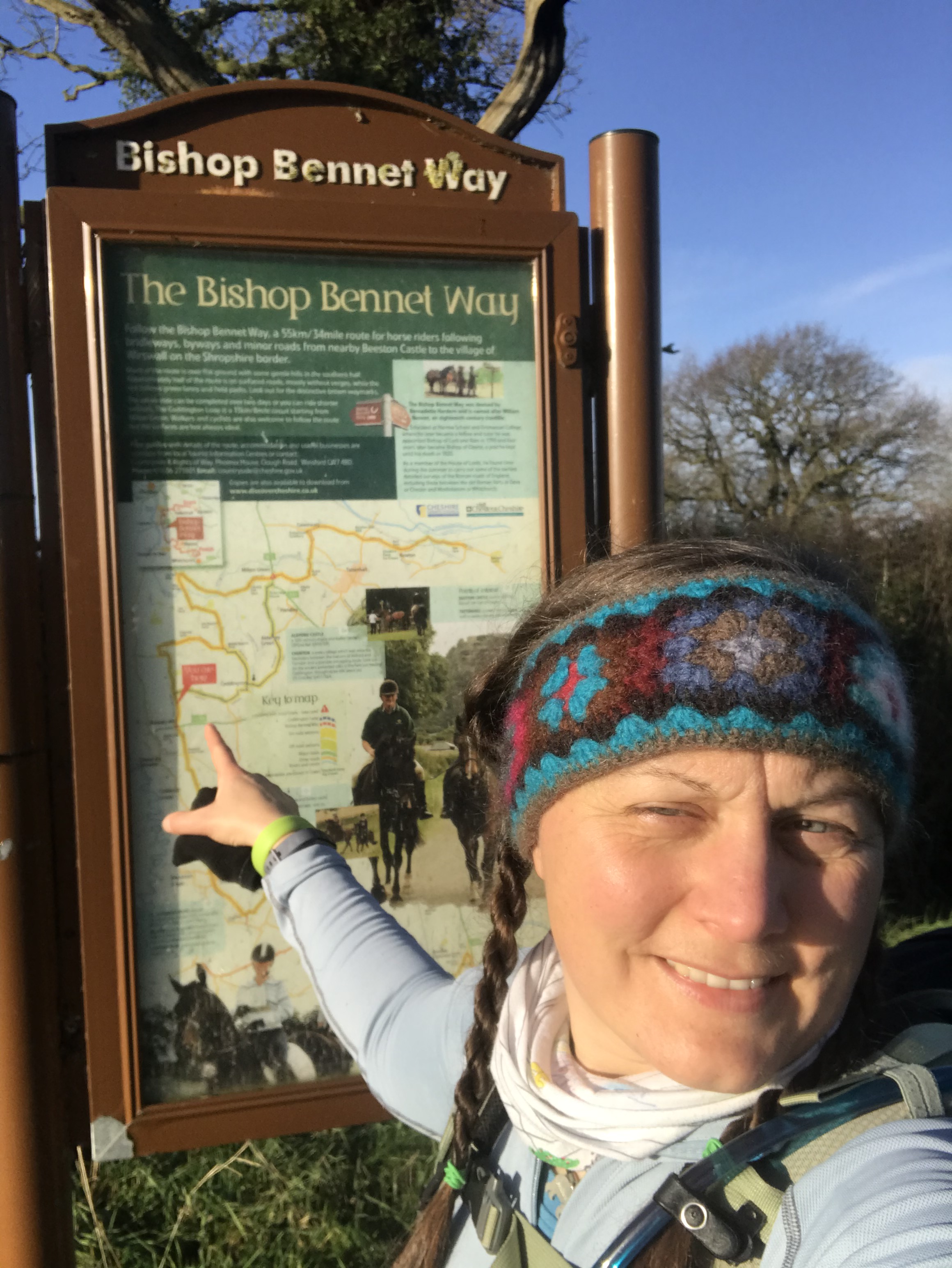

This was a proper stomp of a walk for me. Walked between Christmas and New Year, the December days were at their shortest and I wanted to walk off the fug in my head from the disappointment of the new lockdown. I set off from Churton where I had left the route a few weeks before, quickly the route turned onto a long section of bridleway. The sun was out and the low light through the trees gave my glum mood a boost with the sun in my face for almost the whole day. The mud squelched under my boots, often having to leap seemingly deep puddles, putting faith in my guess that the landing was solid.
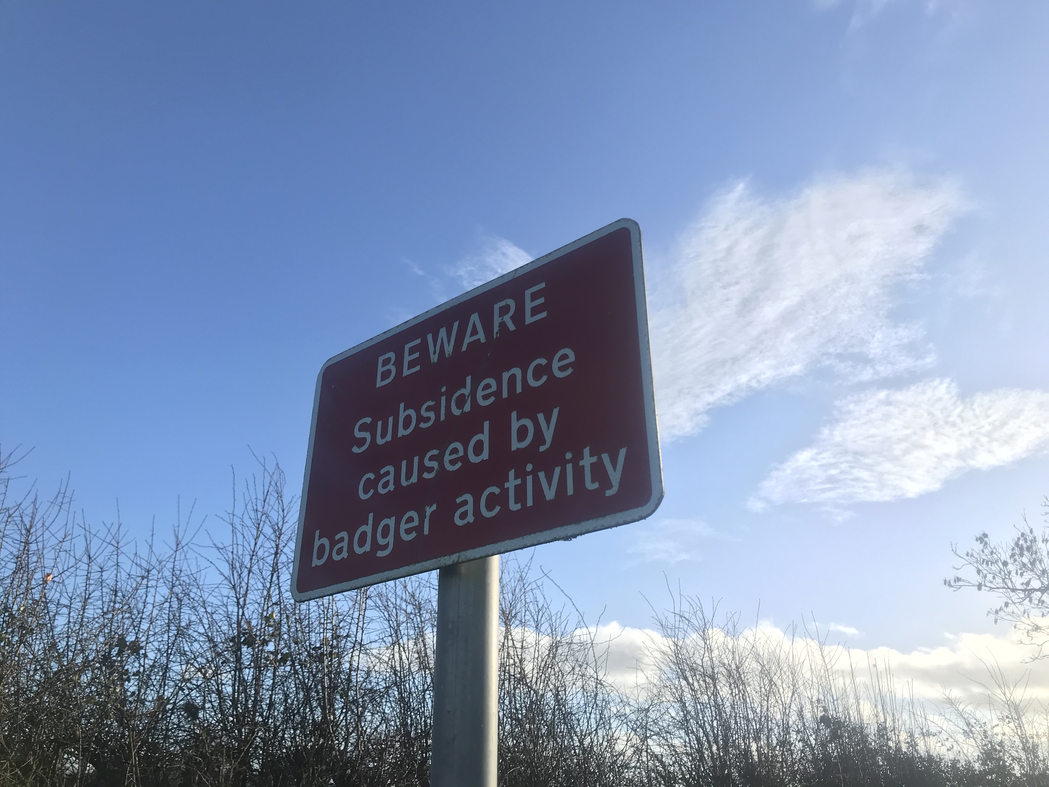
This walk wins the prize for the best sign seen enroute: a warning of subsidence on a restricted byway caused by badgers. Taking my Primus stove with me on these winter walks was definitely a good idea, normally I barely stop on a walk, enough to check the map, dig out a snack from my pack or swap jackets as the weather changes. But stopping to boil water forces me to sit and just be present in the landscape.

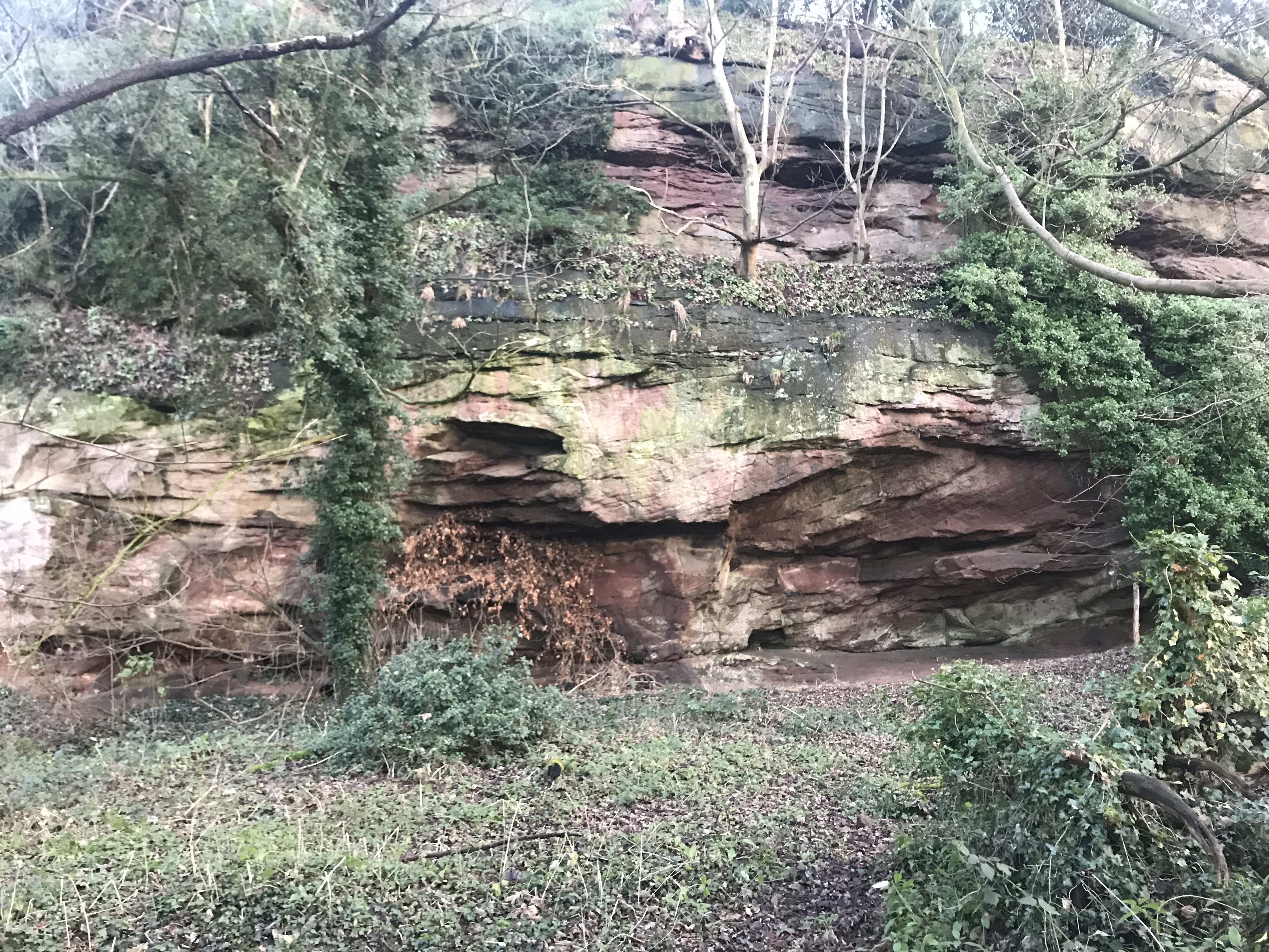
All but the last section of the day was up hill, gradually getting steeper as I climbed up from the plain past a sandstone scar and towards the southern edge of the sandstone ridge that runs through Cheshire.
One more section of the Bishop Bennet Way to go!
Video of the walk HERE
The route is available on the Ordnance Survey website HERE
| Cheshire Challenge distance | 16.5km |
| Paths walked | Bishop Bennet Way |
| Total distance | 16.5km |
| Total ascent | 107m |
| OS map | OS Explorer 257 |
| Date walked | December 2020 |
| Time taken | 4 hours |
| Cake | Carrot cake |
| Dance pose | Show time! |
| Total Cheshire Challenge distance completed | 206km (1500km in total) |
