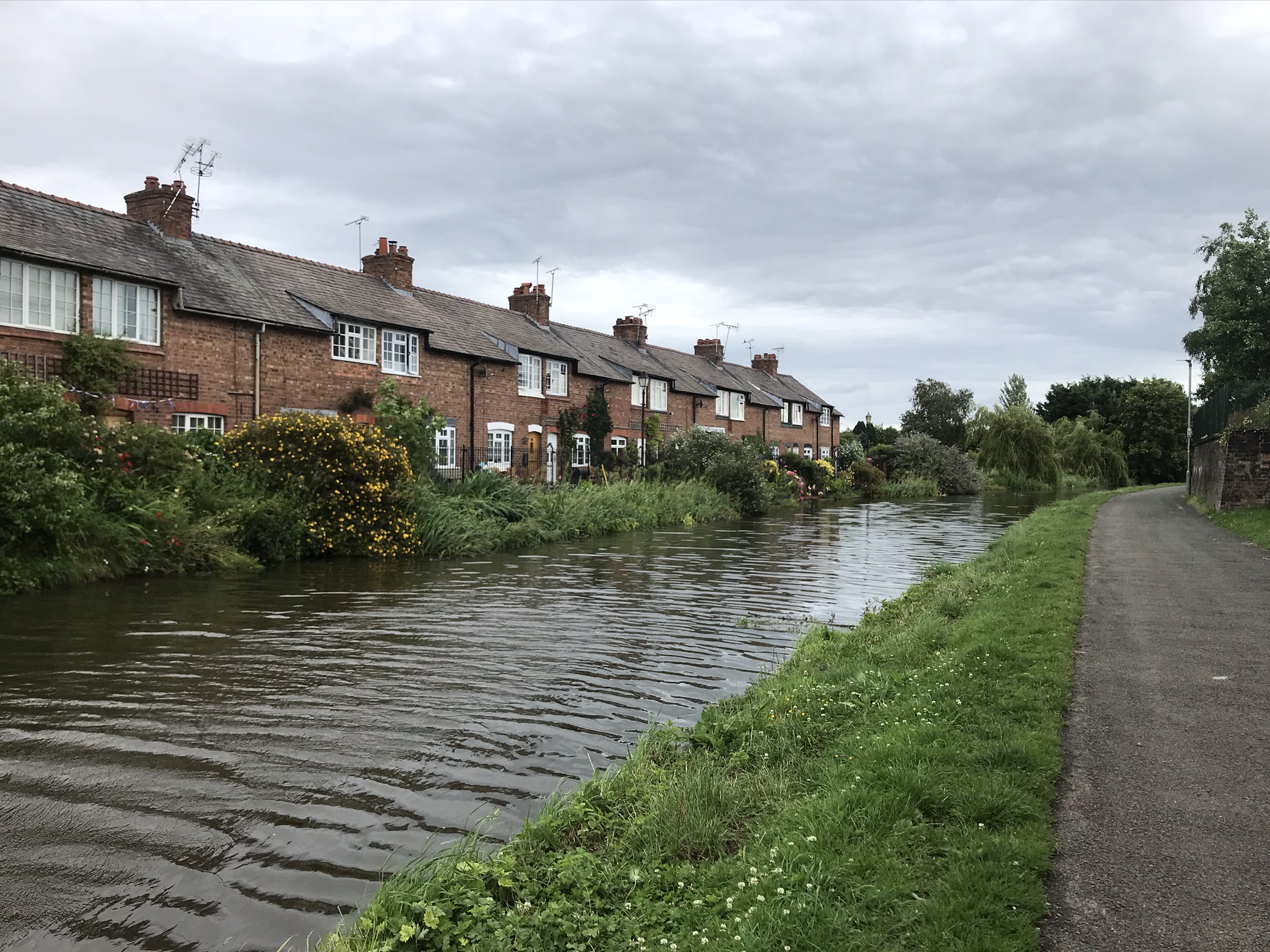
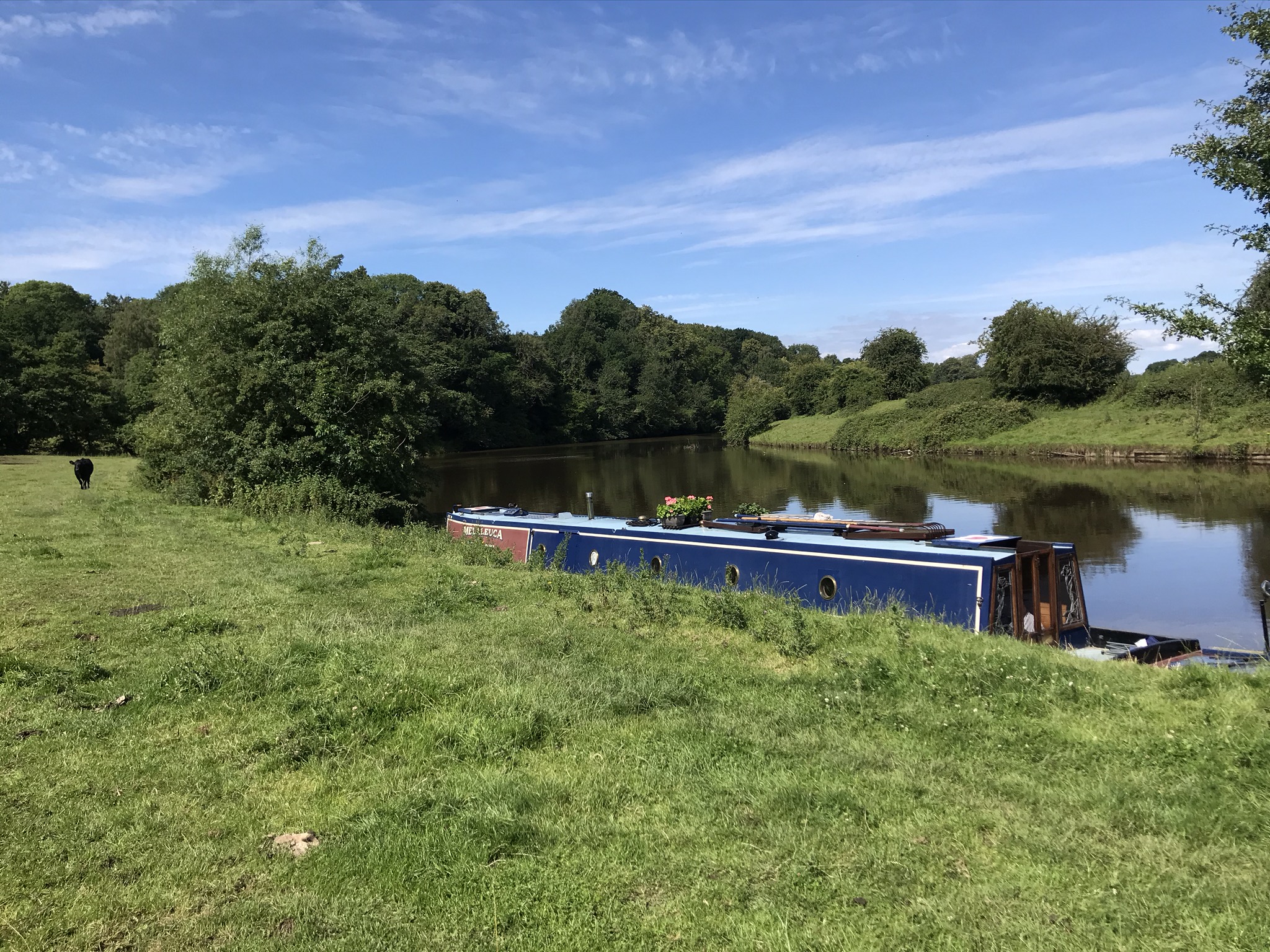
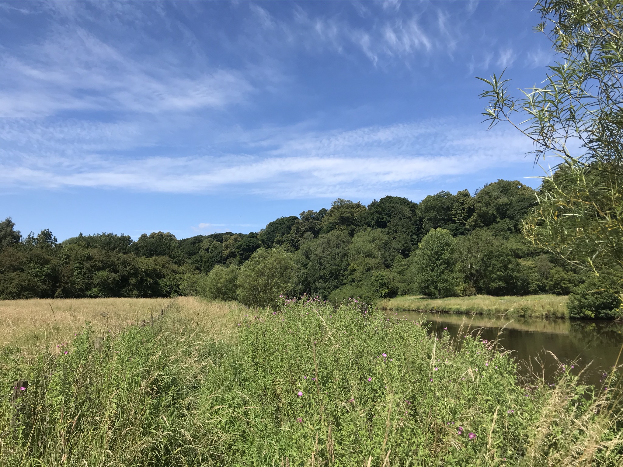
A lovely warm and sunny summers walk along the river started this walk from just outside the village of Kingsley. The track down to the river was a footpath with hedges either side, full of butterflies and bees on the wildflowers. The path opens up to a grassy field and the river, breakfast smells rising from a narrowboat moored on the bank as we headed up river.
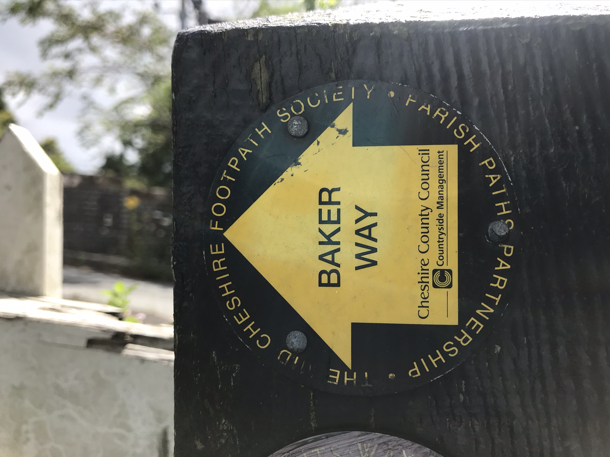
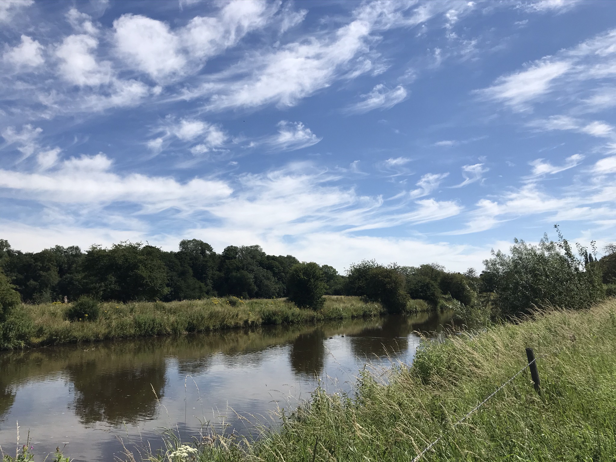
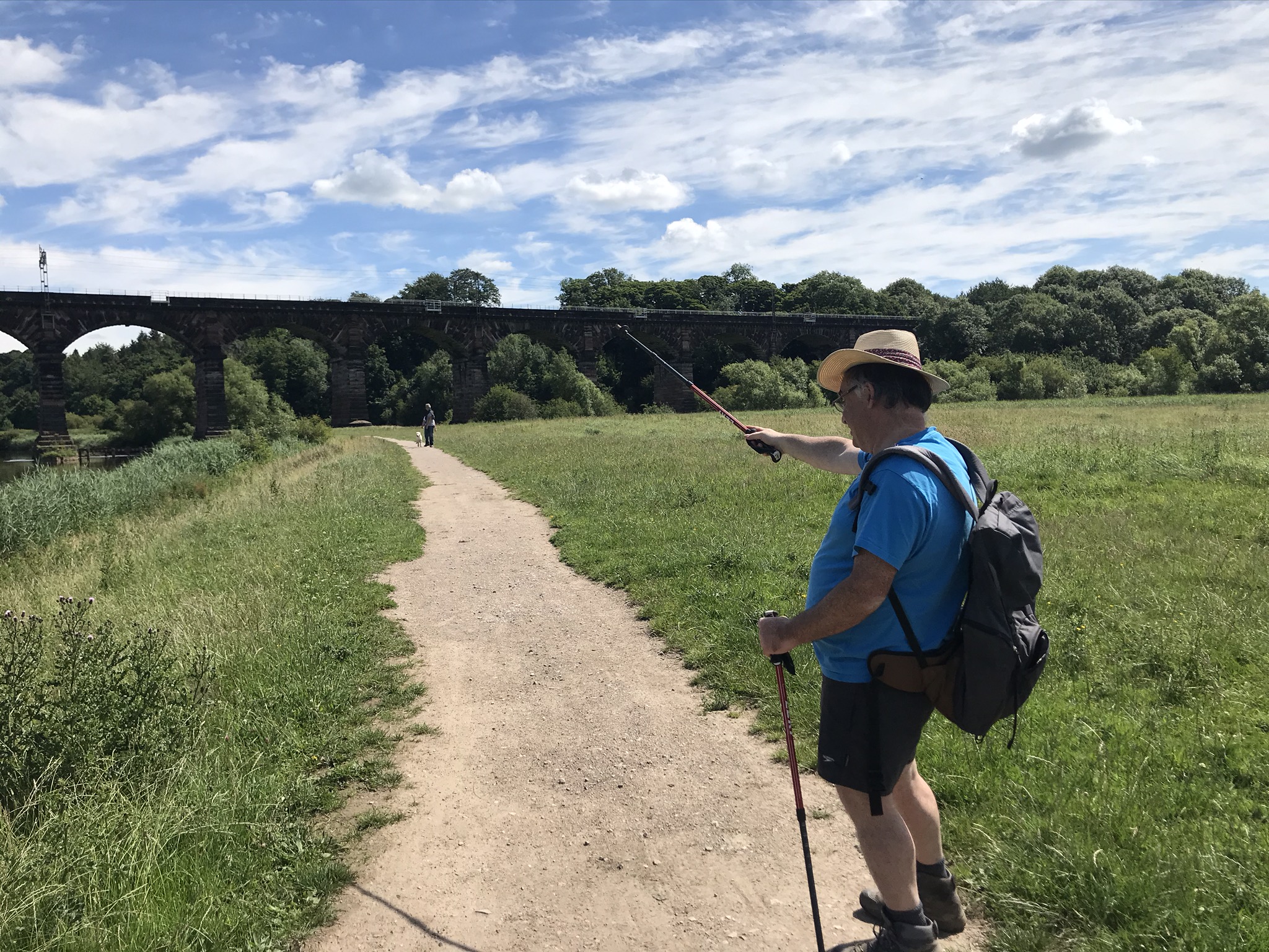
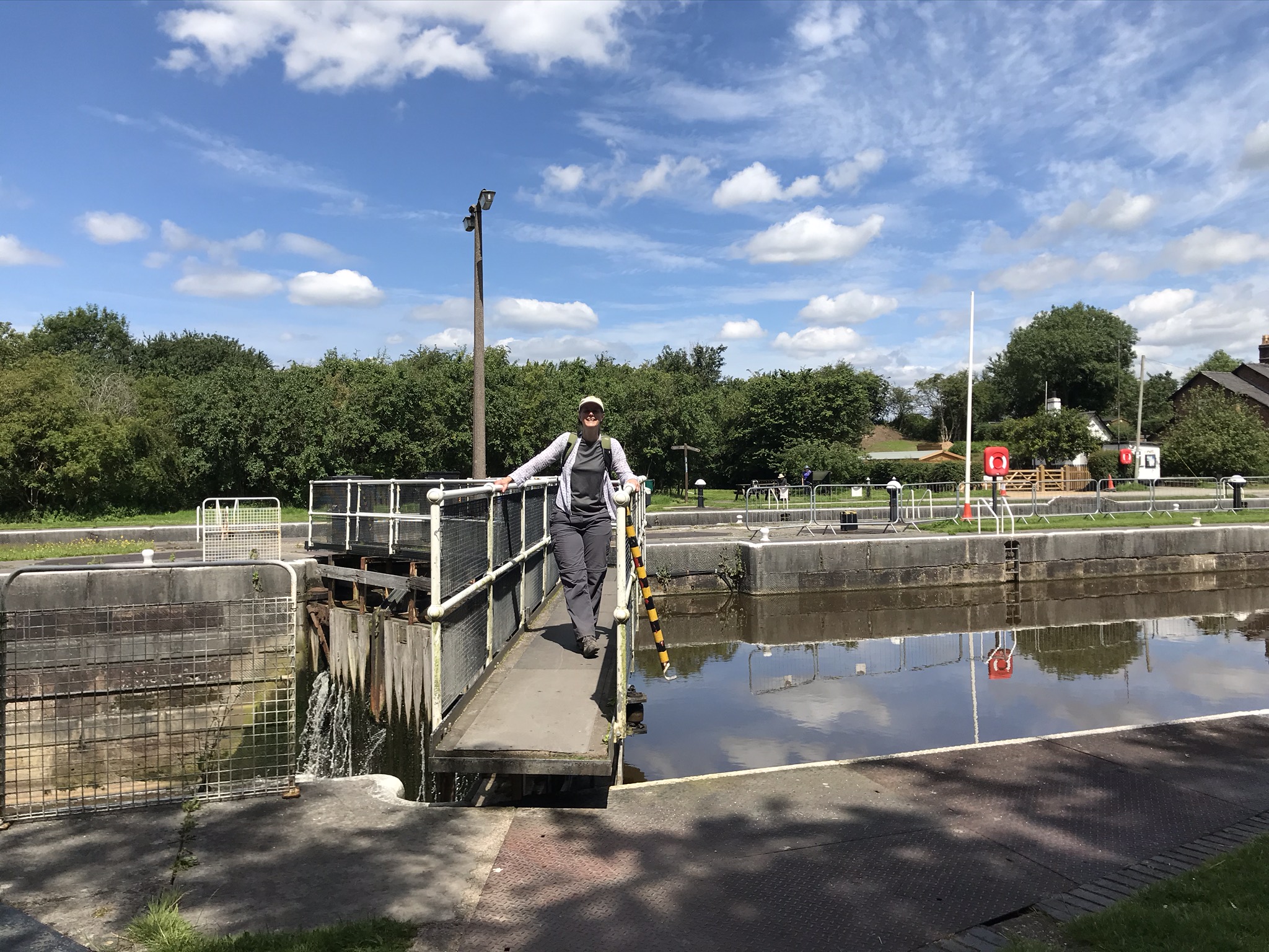
The Weaver here is navigable and in its hey day was busy bringing coal to the salt works and the salt back out, which makes it a fascinating place to walk. A fallen tree in a wooded section provided entertainment to the others as we each ducked underneath it trying not to catch our back packs. The path briefly ducked away from the river at Pickering Cut through a small mobile home park and over what was once the original path of the river, now a quiet back water and a haven for wildlife. A short distance further on is the impressive Dutton Viaduct, carrying trains between Liverpool and London, after some silliness listening to the echoes under the arches we carried on Dutton Lock. This is where we left the North Cheshire Way and joined the Delamere Way.
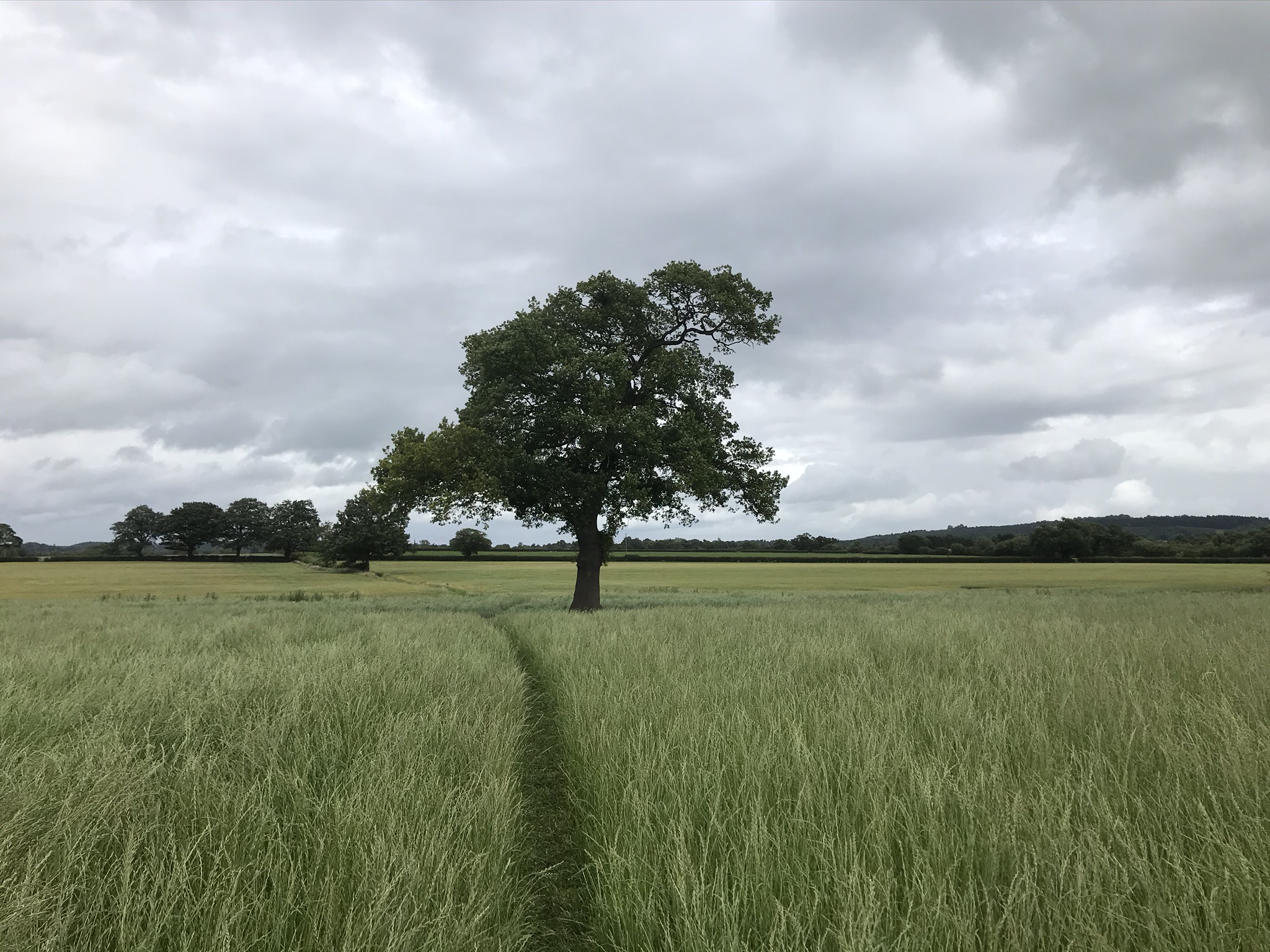
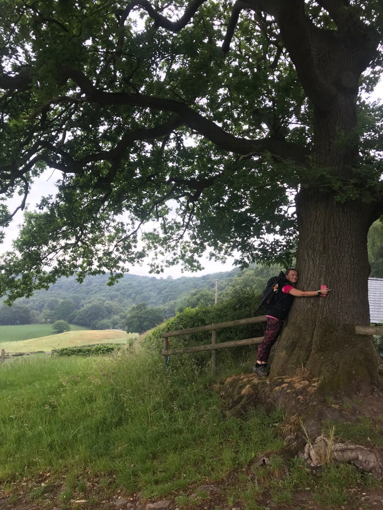
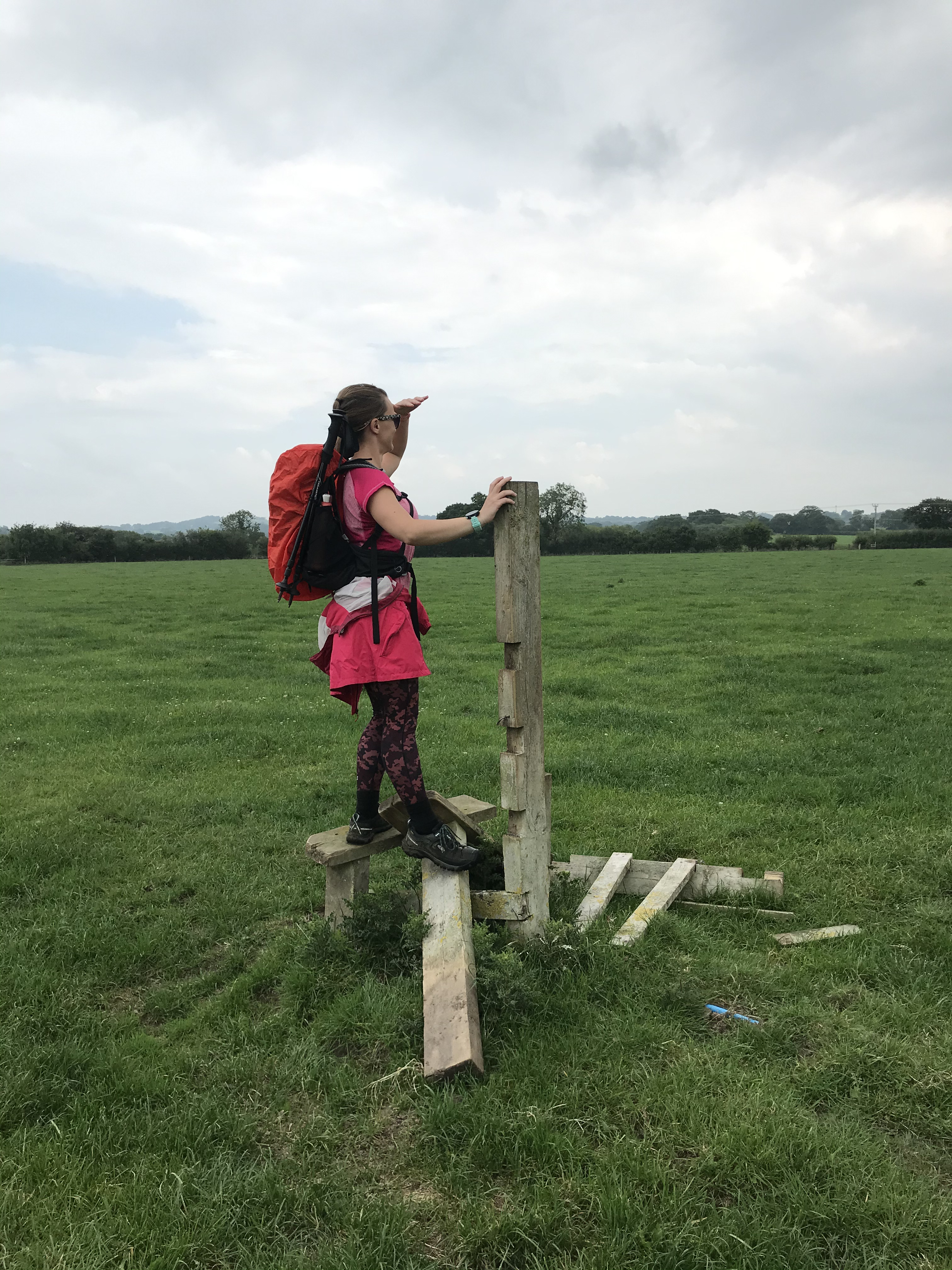
After the flat river walk, the pull up the hill got the blood pumping and we wove round fields and briefly popped out onto the road and under the railway. We stopped for lunch under a large tree and watched the trains whooshing past. The route then follows the top of the railway bank all the way to Acton Bridge. It was here I made a minor navigation error where several paths criss-crossed in small fields, I may well have been absorbed in conversation! The downside is that I now have an orphan section of just a few hundred metres, the upside is that we passed the Hazel Pear pub, which had just reopened with Covid restrictions in place. We stopped for a drink and sat in the pub garden, it felt very odd to be back in a pub though it felt very safe and well organised.
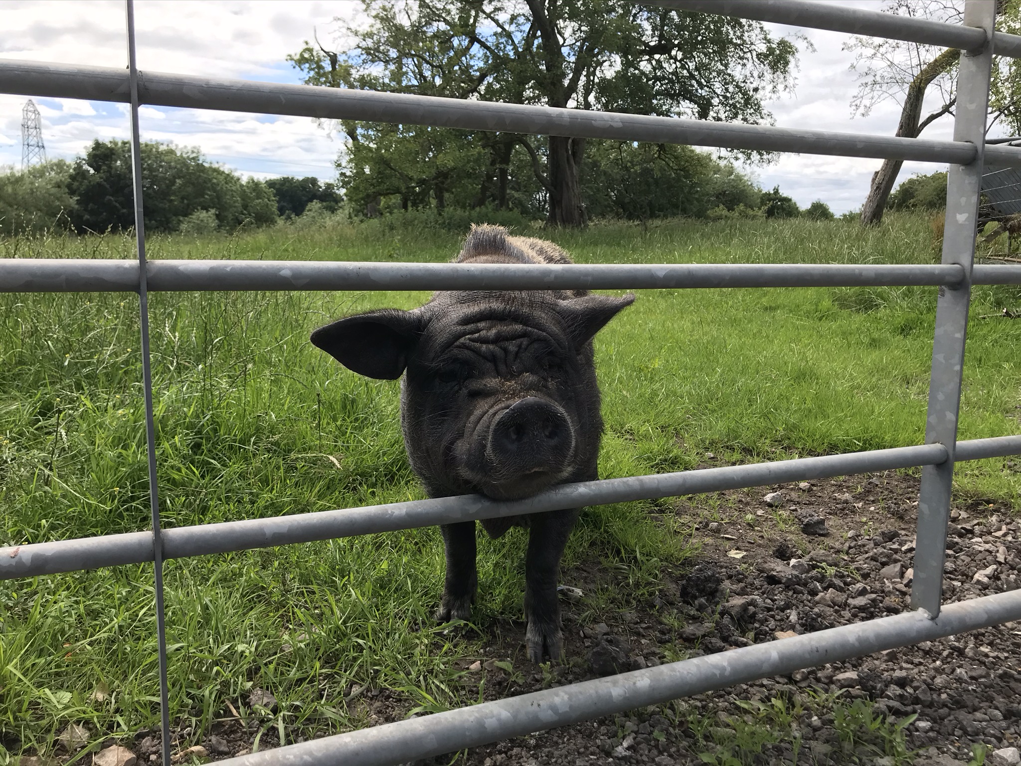
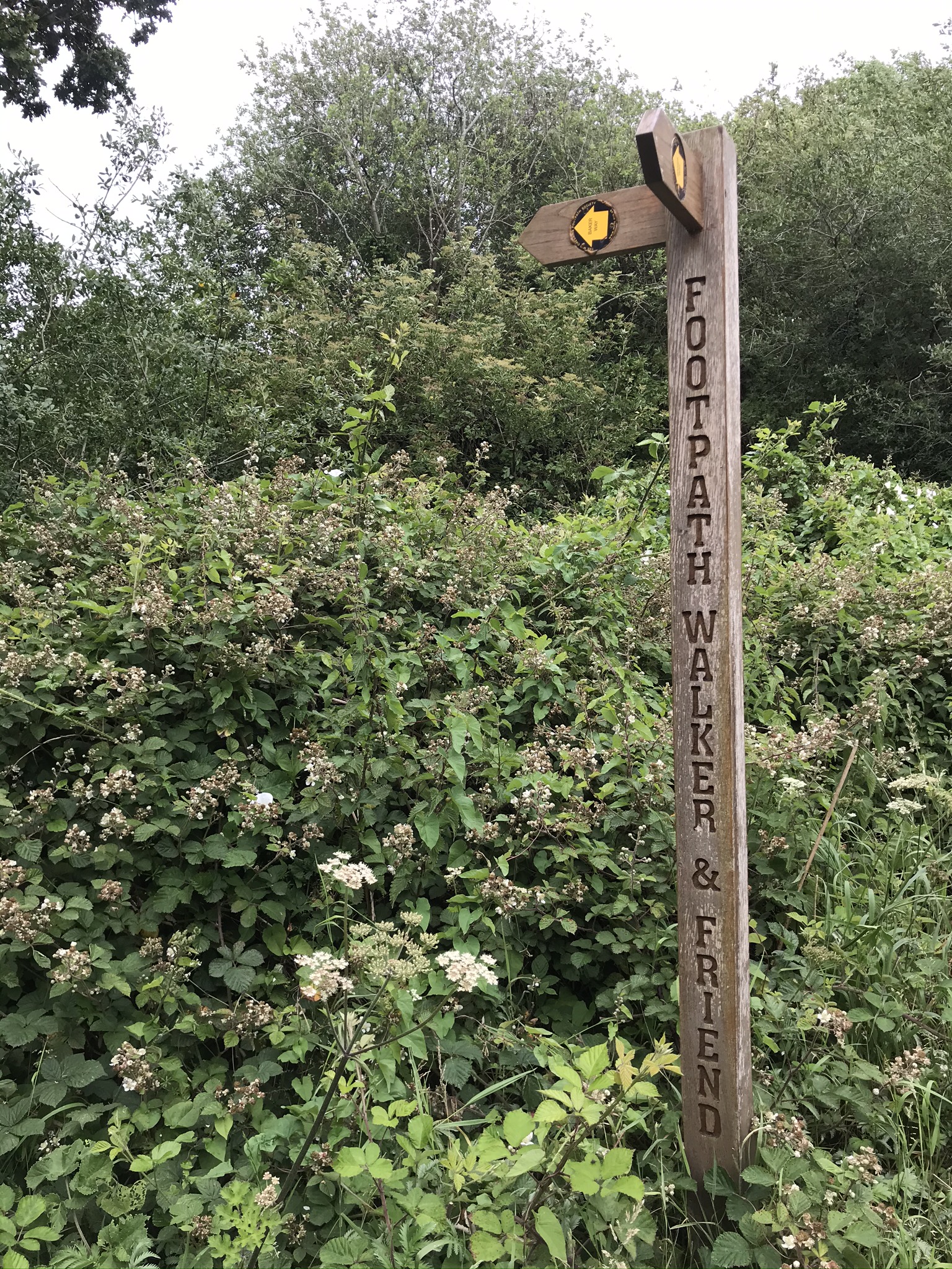
Refreshed, we carried on. The route took us along the road out of Acton Bridge, and just before we turned down a hedge-lined footpath we heard snuffling and a small black pig wandered up to the gate for a scratch behind the ears. The remainder of the Delamere Way alternates between fields and back roads, as we left Ruloe we waved goodbye to the Delamere Way, it heads south-west towards Delamere Forest but we needed to head north-west back to our start point. The paths were again mixed between quiet roads, byways and footpaths, the last couple of kilometres on the tarmac made tired legs complain a little in the heat of the late afternoon but nothing to spoil a lovely day in the Cheshire countryside.
Video of the walk HERE
This route is available on the Ordnance Survey website HERE
| Cheshire Challenge distance | 9.48km |
| Paths walked | North Cheshire Way, Delamere Way |
| Total distance | 16.3km |
| Total ascent | 143m |
| OS Map | OS Landranger 257 |
| Date walked | 12th July 2020 |
| Time taken | 5 hours 15 minutes |
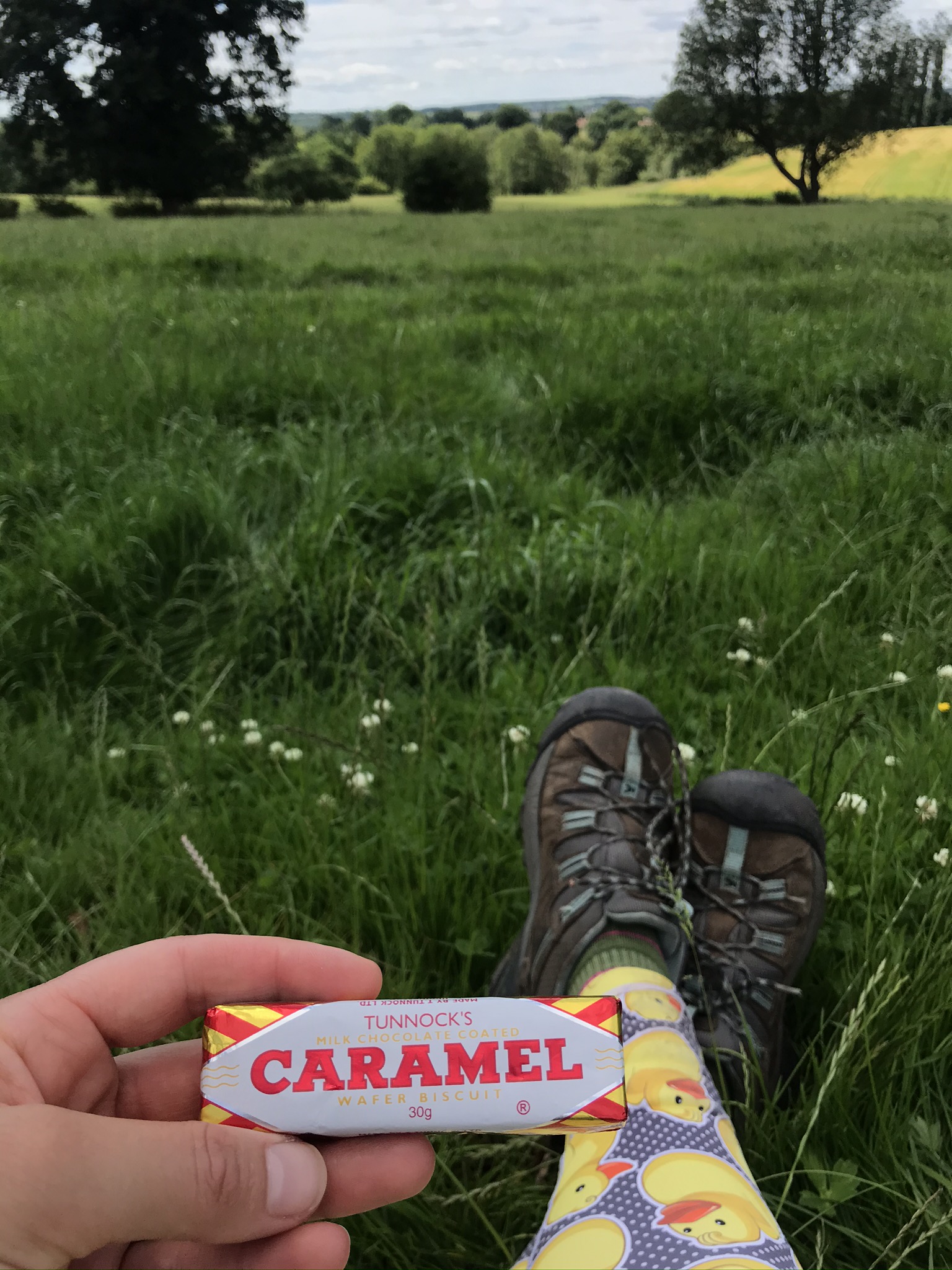
| Cake | Tunnocks – OK, so that’s not really cake! |
| Dance pose | Jazz turn |
| Total Cheshire Challenge distance completed | 41km (1500km total) |